The best gravel rides around Châtas
5.0
(1)
19
riders
2
rides
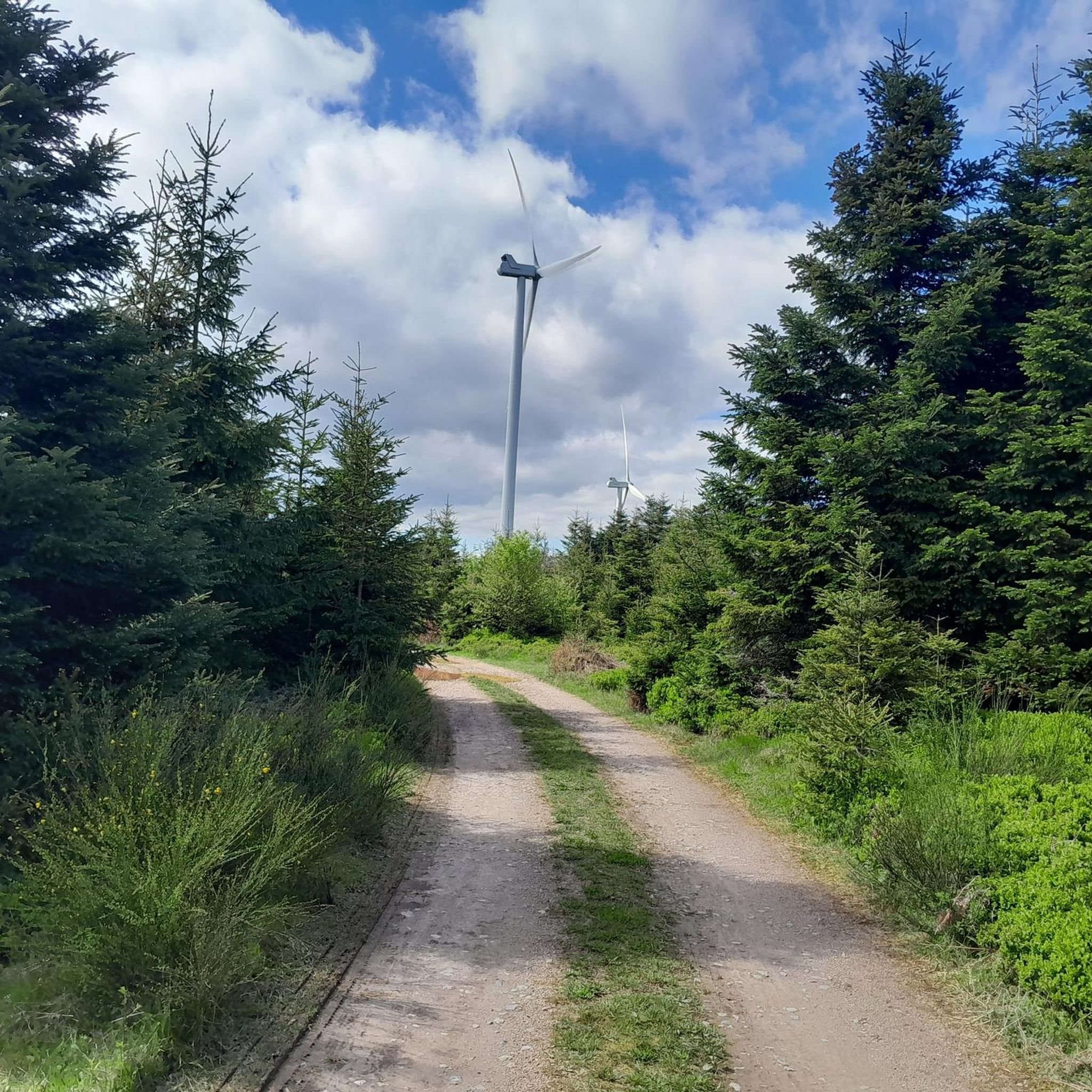
Gravel biking around Châtas offers a variety of routes through a landscape characterized by forest roads, mountain passes, and significant elevation changes. The region features challenging climbs to summits and passes, alongside more moderate paths through wooded areas. These gravel bike trails provide opportunities to explore the natural terrain of the Vosges mountains.
Best gravel bike trails around Châtas
- The most popular gravel bike trail is Rascal's Head – Tête du Coquin Summit loop from Senones, a 49.8 miles…
Last updated: July 2, 2026
6
riders
80.0km
06:11
1,660m
1,660m
Hard gravel ride. Very good fitness required. You may need to push your bike for some segments of this route.
6
riders
22.9km
01:42
400m
400m
Moderate gravel ride. Good fitness required. Mostly paved surfaces. Suitable for all skill levels.

Sign up for free
5.0
(1)
5
riders
49.7km
03:38
860m
860m
Hard gravel ride. Very good fitness required. You may need to push your bike for some segments of this route.
Our route recommendations are based on thousands of hikes, rides, and runs completed by other people on komoot.
Start today with a free account
Your next adventure awaits.
Login or Signup
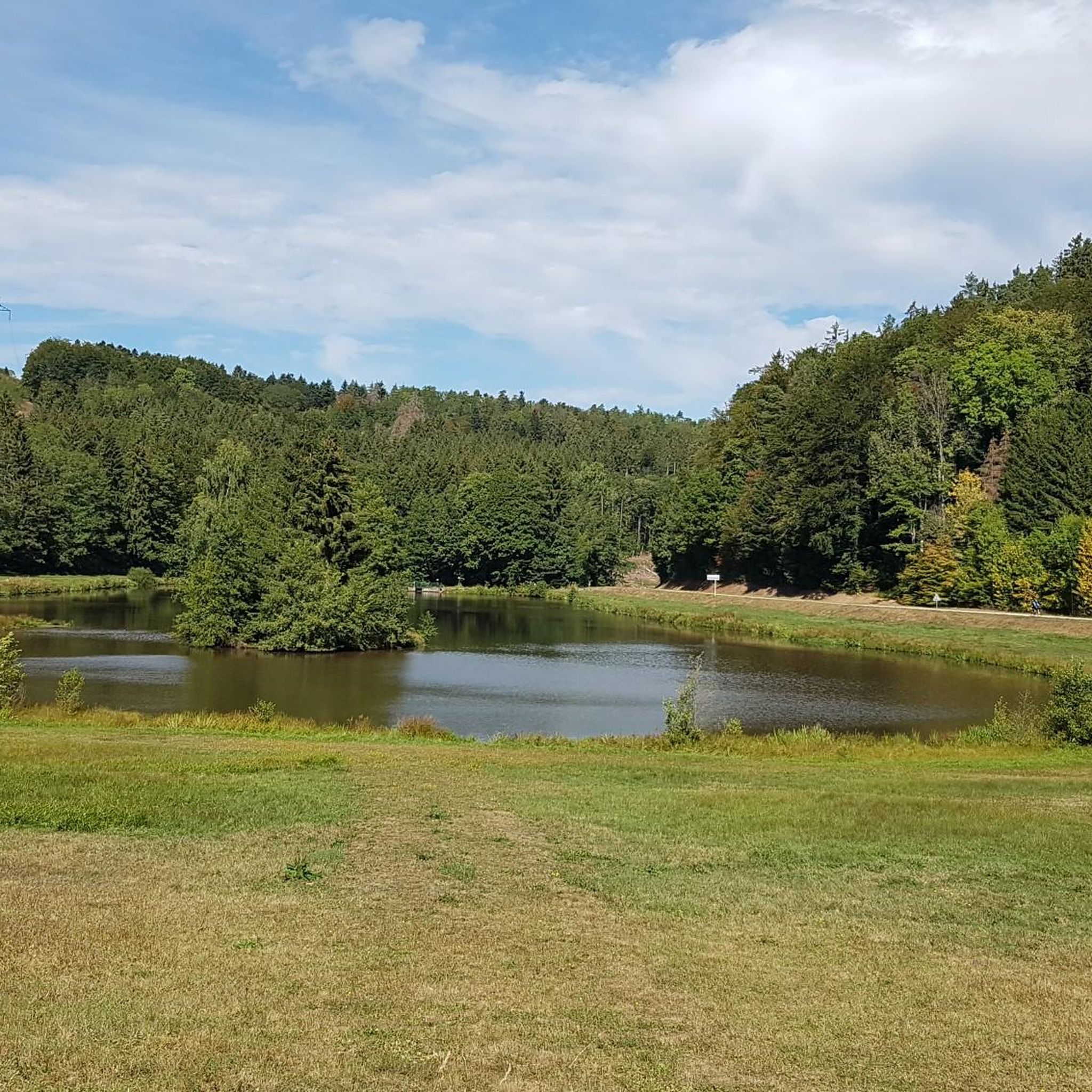
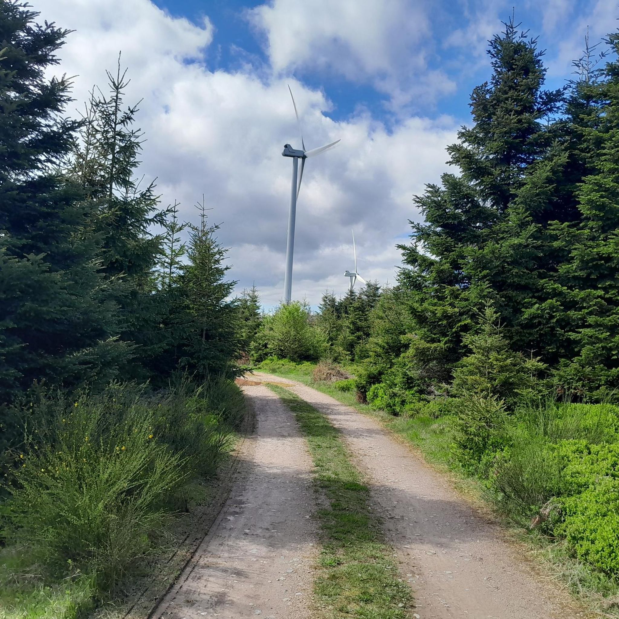
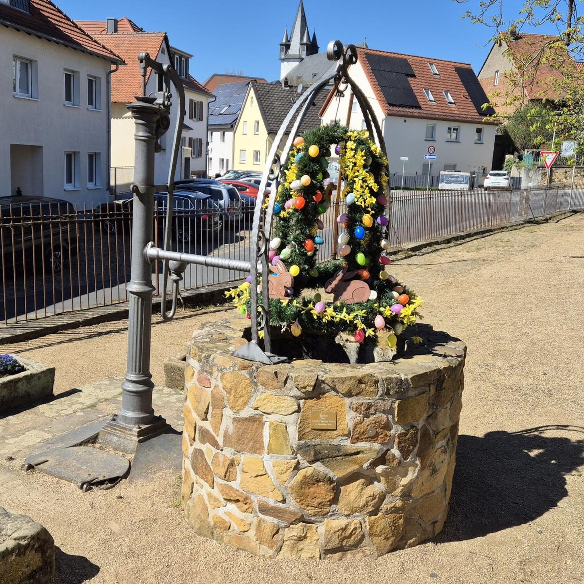
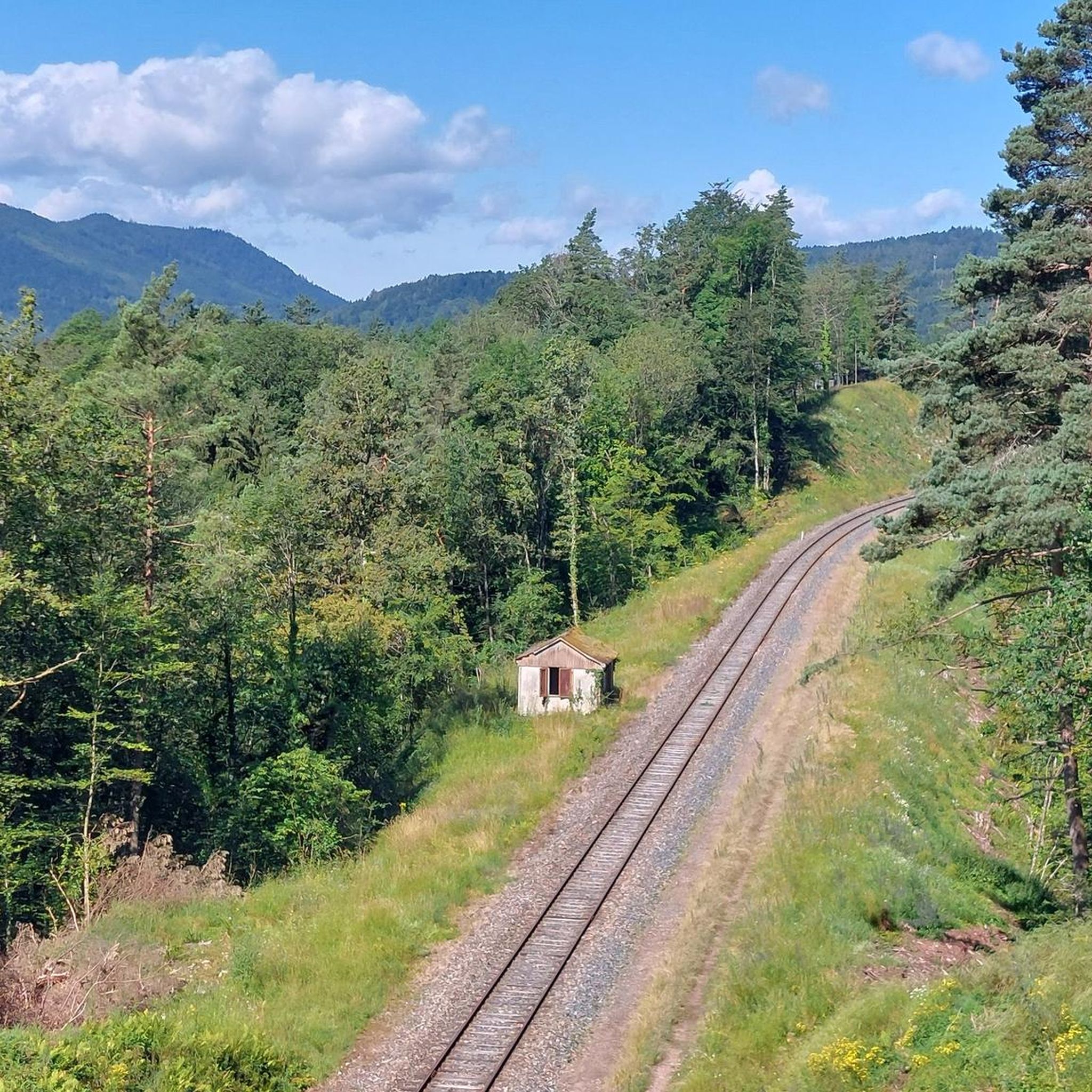
Tips from the Community

Beautiful route, pleasant but lots of bikers...
0
0

Beautiful hiking destination, there is also a cycling route
0
0

A long and beautiful forest road. However, it's bumpy in places on a road bike!
0
0

Beautiful climb and lovely view at the pass - Altitude 728m Restaurants (inns) at the pass
0
0

The spring is located a little further up the hiking trail toward the road. You can hear the water splashing loudly from the trail.
1
0


A truly great forest road through a beautiful forest, a bit bumpy in places (April 2025), but good for rolling (towards Mossey) or leisurely climbing (towards Mt Donon). It was fun!
1
0
Frequently Asked Questions
What kind of terrain can I expect on gravel bike trails around Châtas?
Gravel biking around Châtas primarily features forest roads, mountain passes, and significant elevation changes. You'll encounter a mix of challenging climbs to summits and passes, alongside more moderate paths through wooded areas within the Vosges mountains.
Are there any easy gravel bike routes suitable for beginners in Châtas?
Yes, there are options for less experienced riders. For an easier ride, consider the Moussey Town Hall loop from Le Saulcy. This route is 11.9 km long with a moderate elevation gain, making it a good choice for those new to gravel biking in the region.
Where can I find challenging gravel bike routes near Châtas?
For advanced gravel bikers seeking a challenge, routes with substantial elevation gain are available. The Rascal's Head – Tête du Coquin Summit loop from Senones is a difficult 80.2 km trail with over 1600 meters of ascent, leading to a summit. Another demanding option is the Prayé Forest Road – Hantz Pass loop from Senones, which covers 47.1 km through forest roads and mountain passes.
Are the gravel bike routes around Châtas typically circular?
Many of the gravel bike routes in the Châtas area are designed as loops, allowing you to start and finish at the same point. Examples include the Col de Steige – Salcée Pass loop from Plaine and the Col de Steige – Charbonnière Pass loop from Saulxures, both offering varied terrain and scenic views.
What are some scenic viewpoints or natural attractions along the gravel trails?
The region offers several natural attractions. You might encounter viewpoints like Dry Fir Rock or unique rock formations such as Roche des Abris and Pain de Sucre Rock Formation. The area also features historical sites like La Bure Celtic Camp.
What is the best time of year for gravel biking in Châtas?
The most favorable seasons for gravel biking in Châtas are typically spring, summer, and autumn. During these months, the weather is generally milder and the forest roads are more accessible. Winter cycling is possible but may involve colder temperatures and potentially snow or ice on higher passes.
Are there any historical landmarks or places of interest to explore near the trails?
Beyond natural beauty, the Châtas area has historical significance. You can visit sites like La Bure Celtic Camp, an ancient historical site. Also, the Trail of the Hamlets Fallen for France – La Fontenelle offers a poignant historical experience.
What are the typical lengths and durations of gravel bike rides in this region?
Gravel bike routes around Châtas vary significantly in length and duration. You can find shorter rides like the Col de Steige – Salcée Pass loop from Plaine at 22.9 km (around 1 hour 40 minutes), up to much longer, more challenging tours such as the Rascal's Head – Tête du Coquin Summit loop from Senones, which is 80.2 km and can take over 7 hours to complete.
Are there any specific starting points or trailheads for gravel biking in Châtas?
Many routes start from towns and villages surrounding Châtas, offering convenient access. For instance, you can begin tours from Senones, Plaine, or Le Saulcy. These locations often provide good access to the network of forest roads and mountain passes.
What do other gravel bikers enjoy most about the Châtas region?
Gravel bikers frequently praise the diverse landscape of the Vosges mountains, which offers a mix of challenging climbs and serene forest paths. The region is appreciated for its extensive network of gravel roads and the opportunity to explore natural and historical sites away from busy roads.
Are there any options for food or drink stops along the gravel bike trails?
While specific pub stops are not highlighted for every route, many trails pass through or near villages where you can find local establishments for refreshments. It's always a good idea to carry sufficient water and snacks, especially on longer routes through more remote forest areas.
What are the general weather conditions like for gravel biking in Châtas?
Châtas experiences a continental climate. Summers are generally warm and pleasant, ideal for cycling. Spring and autumn offer cooler temperatures and beautiful scenery. Winters can be cold, with potential for snow and ice, especially at higher elevations, so check local forecasts before heading out.
Most popular attractions around Châtas

Get inspired with the komoot mobile app


Explore more
Browse the best Gravel rides in other regions.
