The best walks and hikes around Archi
3.2
(15)
50
hikers
8
hikes
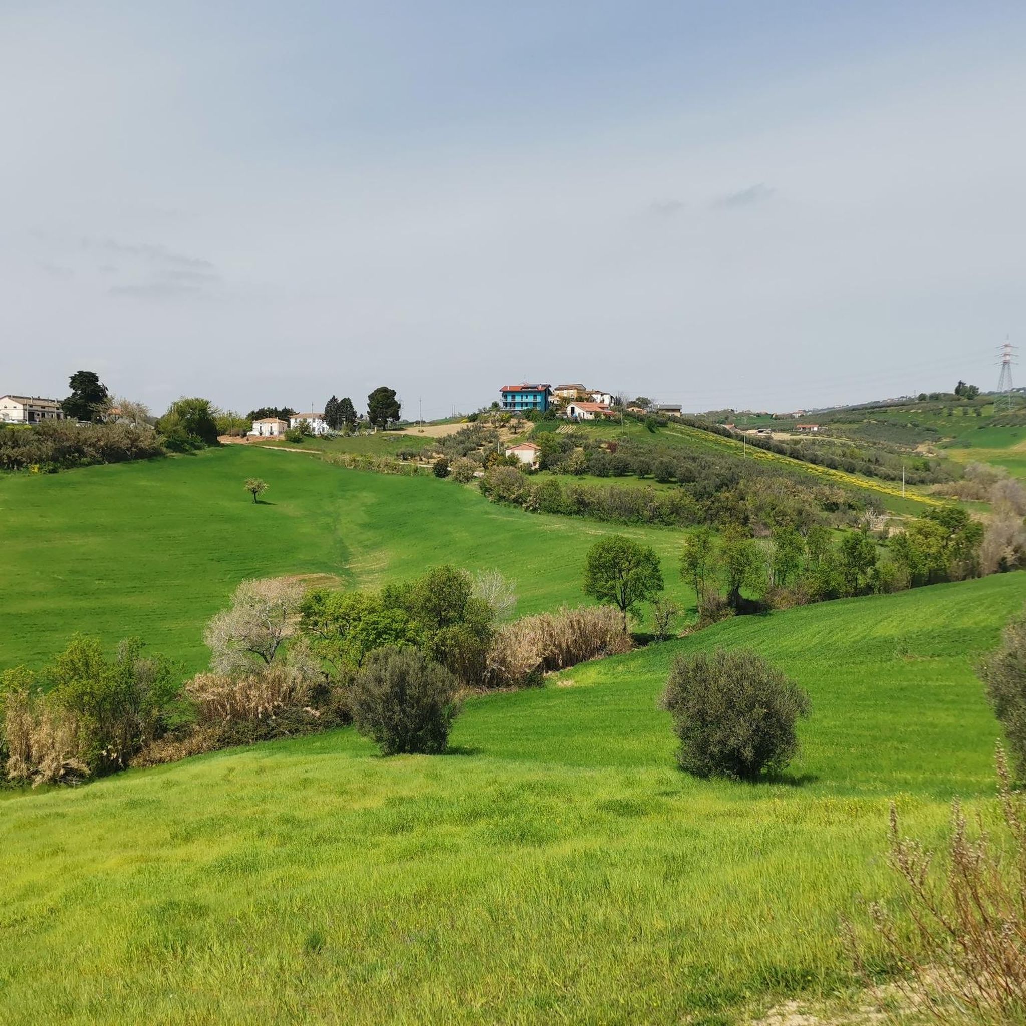
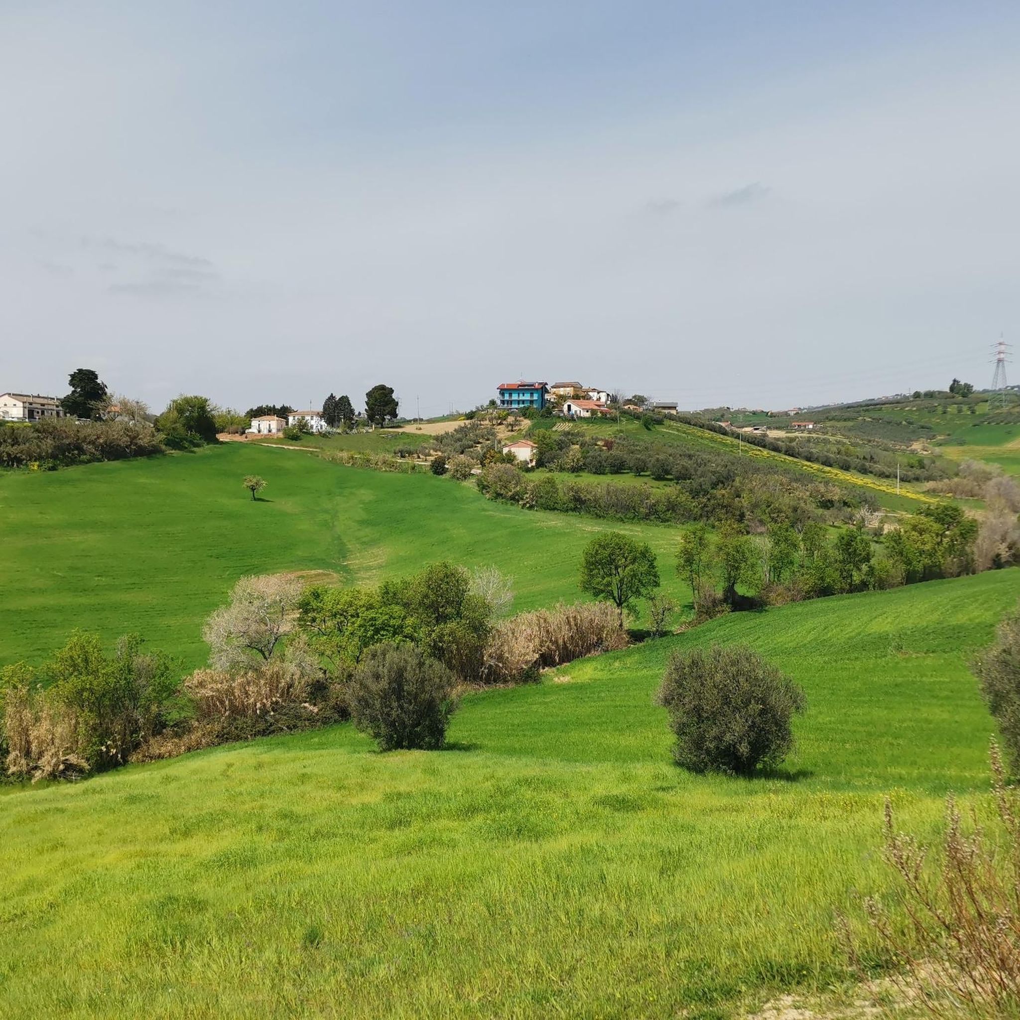
Hiking around Archi offers a diverse landscape characterized by mixed deciduous oak woodlands, ancient megalithic walls, and notable rock formations. The region features varied terrain, including gorges with waterfalls and historical sites like castles. These trails provide opportunities to explore both natural beauty and cultural landmarks.
Best hiking trails around Archi
- The most popular hiking route is From Gessopalena to Castello di Roccascalegna, a 6.1 miles (9.9 km) trail that takes 3 hours 10 minutes to complete. This moderate…
Last updated: October 13, 2026
4.0
(1)
5
hikers
9.90km
03:11
430m
430m
Moderate hike. Good fitness required. Easily-accessible paths. Suitable for all skill levels.
3.0
(1)
10
hikers
Moderate hike. Good fitness required. Easily-accessible paths. Suitable for all skill levels.

3.0
(6)
11
hikers
7.76km
02:23
270m
270m
Moderate hike. Good fitness required. Easily-accessible paths. Suitable for all skill levels.
6
hikers
Moderate hike. Good fitness required. Easily-accessible paths. Suitable for all skill levels.
3.0
(1)
6
hikers
8.62km
02:22
140m
140m
Moderate hike. Good fitness required. Easily-accessible paths. Suitable for all skill levels.
Get access to more routes and recommendations from other explorers.
Already have an account?
Our route recommendations are based on thousands of hikes, rides, and runs completed by other people on komoot.
Start today with a free account
Your next adventure awaits.


Tips from the Community

Tribute to the mountain troops in the hills of Atessa. The Chiesa ai Caduti della Julia (locally known as the Chiesa di San Giuseppe) is located on Via Brigata Alpina Julia in the upper outskirts of Atessa. This religious monument and its surrounding street name are dedicated to the legendary Brigata Alpina Julia, the Italian mountain troops who made heavy sacrifices during the World Wars. For outdoor enthusiasts, this church is an excellent navigation point and a symbolic stop. Situated on the hillsides, it often marks the transition from the flatter Sangro valley to the challenging, climbing inland roads towards the historic center of Atessa or Monte Pallano. It is a serene place to catch your breath and reflect on local history.
2
0

Far from the annoying noises of the city...... Exclusively pedestrian area 🚶♀️🚶🚶♀️🚶♂️🚶🏼♀️
0
0
Small, very charming and cozy ancient village, where tranquility reigns.......
1
0
Below the castle 🏰 there is a small area equipped to refresh yourself and enjoy the view and.... Cool 😉🌞 in summer......
2
0

The position of the castle is strategic, perched on top of a rocky ledge. Legend has it that, in 1646, the then baron of the castle (Corvo de Corvis) demanded the application in the town of the Ius primae noctis (all the women of the town to spend their wedding night with him instead of with their newly married consort ). For this reason he was assassinated.
1
0

A spectacle of architecture dating back to the Middle Ages. It is worth the whole climb to see the show
0
0

In addition to numerous small frogs and fish, this small water snake also lives in the Gola and presumably feeds on the former. Now, at the beginning of October, the waterfall is more of a small trickle. To do this, it can be easily reached from the parking lot at the entrance to the gorge after a few minutes of walking over round stones and mini climbing inserts over two slightly larger rocks with dry feet. Sturdy footwear is still advisable and, especially in bad weather, you should take the notice at the entrance to the gorge that you should only enter it with a helmet because of the risk of falling rocks.
0
0

Alternative route to reach the Roccascalegna castle.
0
0
Frequently Asked Questions
How many hiking trails are available in Archi?
There are 6 hiking trails around Archi, all of which are rated as moderate difficulty. These routes offer a diverse experience through mixed deciduous oak woodlands, past ancient megalithic walls, and to historical sites.
What kind of landscapes can I expect to see while hiking in Archi?
Hiking in Archi will take you through varied terrain, including mixed deciduous oak woodlands, areas with ancient megalithic walls, and notable rock formations. You can also explore gorges and discover historical sites like castles.
Are there any circular hiking routes in Archi?
Yes, several routes in Archi are circular. For instance, the Mixed Deciduous Oak Woodland – Megalithic Walls loop from Tornareccio is a great option, leading you through woodlands and past ancient structures. Another circular trail is the View of Pennadomo – Waterfall in Gola di Pennadomo loop from Pennadomo, which takes you through a gorge to a waterfall.
Are there any waterfalls to see on the hiking trails in Archi?
Yes, you can find a waterfall in the Gola di Pennadomo. The View of Pennadomo – Waterfall in Gola di Pennadomo loop from Pennadomo trail specifically leads through a gorge to this waterfall. You can also find more information about the Waterfall in Gola di Pennadomo.
What are some interesting landmarks or attractions to see near the hiking trails?
Archi's hiking trails are often close to historical and natural landmarks. A prominent attraction is the Castello di Roccascalegna, a historic castle that can be reached via the From Gessopalena to Castello di Roccascalegna route. You can also explore the Morgia Rock Formation loop from Gessopalena to see impressive rock formations.
What is the difficulty level of hiking trails in Archi?
All 6 available hiking routes in Archi are rated as moderate. This means they are suitable for hikers with a reasonable level of fitness and some experience, offering a good balance of challenge and accessibility.
What do other hikers say about the trails in Archi?
The hiking trails in Archi are highly rated by the komoot community, with an average score of 3.25 stars from over 10 reviews. Hikers often praise the varied terrain, including the mixed deciduous oak woodlands and the historical elements like castles and megalithic walls.
Are there any family-friendly hiking options in Archi?
While all routes are rated moderate, many families with some hiking experience enjoy the trails in Archi. The View of Pennadomo – Waterfall in Gola di Pennadomo loop from Pennadomo, at 7.8 km, is a popular choice for its scenic waterfall and manageable distance, often completed in about 2 hours 22 minutes.
Can I bring my dog on the hiking trails in Archi?
Komoot routes generally welcome dogs, but it's always best to check local regulations for specific trails or protected areas within Archi. Many of the natural woodland and open-air trails are suitable for well-behaved dogs on a leash.
What is the longest hiking trail in Archi?
The longest hiking trail in Archi is From Gessopalena to Castello di Roccascalegna, which spans 9.9 km (6.1 miles) and typically takes around 3 hours 10 minutes to complete.
What is the shortest hiking trail in Archi?
The shortest hiking trail listed in Archi is the View of Pennadomo – Waterfall in Gola di Pennadomo loop from Pennadomo, which is 7.8 km (4.8 miles) long and can be completed in approximately 2 hours 22 minutes.
Most popular attractions around Archi

Get inspired with the komoot mobile app


Explore more
Browse the best Hikes in other regions.
