Top 6 Mountain Passes around Coyrière
Mountain passes around Coyrière are situated within the Jura department of France, nestled in the Haut-Jura Regional Natural Park. This region offers a diverse natural landscape characterized by mountains, forests, and valleys. The area provides opportunities for cycling, hiking, and scenic drives through its various mountain passes.
Best mountain passes around Coyrière
- The most popular mountain passes is Crozet Pass, a mountain pass that connects Crozet and Lelex over the Jura ridge. It features challenging uphill sections and diverse…
Last updated: June 26, 2026
Col de la Croix de Serra
Highlight • Mountain Pass
More information: quaeldich.de/paesse/col-de-la-croix-de-serra
Translated by Google •
Tip by

Crozet Pass
Highlight • Mountain Pass
Translated by Google •
Tip by

Sign up now to discover places like this
Get recommendations on the best single tracks, peaks, & plenty of other exciting outdoor places.
Sign up for free
Col de Magnard
Highlight • Mountain Pass
Translated by Google •
Tip by

Route de Couture
Highlight (Segment) • Mountain Pass
Usually a quieter section of road, but it can get busy in July and August.
Tip by

Forest Road to Col de Crozet
Highlight (Segment) • Trail
Translated by Google •
Tip by
Start today with a free account
Your next adventure awaits.
Login or Signup

Tips from the Community

beautiful pass, quite rolling especially through St Germain de Joux, a little tougher on the Saint Claude side. lots of writing on the ground since the Tour de France passed through.
0
0
Long pass, hard at the beginning but easier at the end. Big road but it goes through without any problem.
0
0

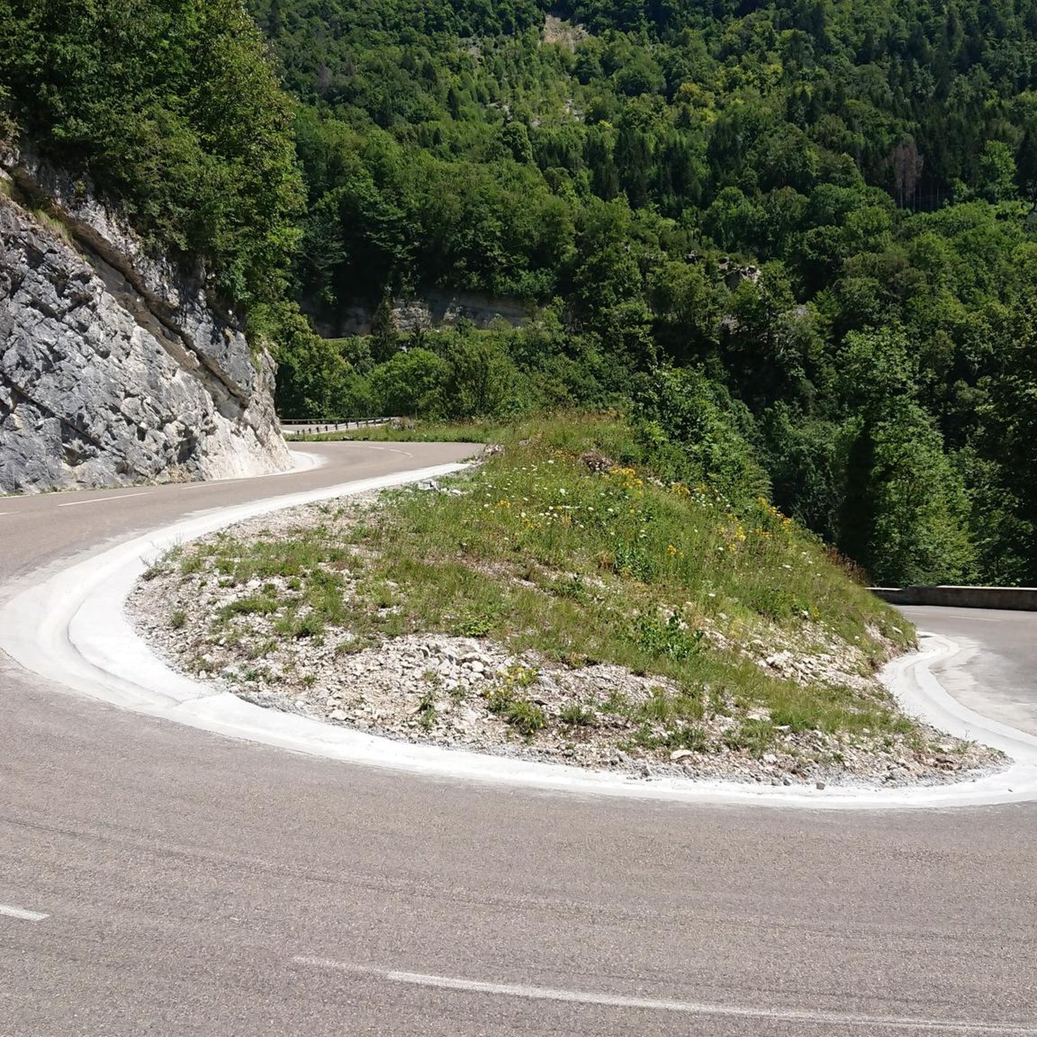
A superb section of road that switchbacks its way up/down through rocky surroundings. Usually a quieter section of road, but it can get busy in July and August.
0
0

Just cracked the 1000m above sea level. The first of several passes on my stage today with 2,500m of elevation. Pedal up slowly and enjoy the peace and quiet. There are very few cars here
1
0

Between Mijoux and Spetmoncel, this pass is typical of those that can be found in the Jura and which oscillate for the most part between 1,100 and 1,200 meters in altitude.
2
0

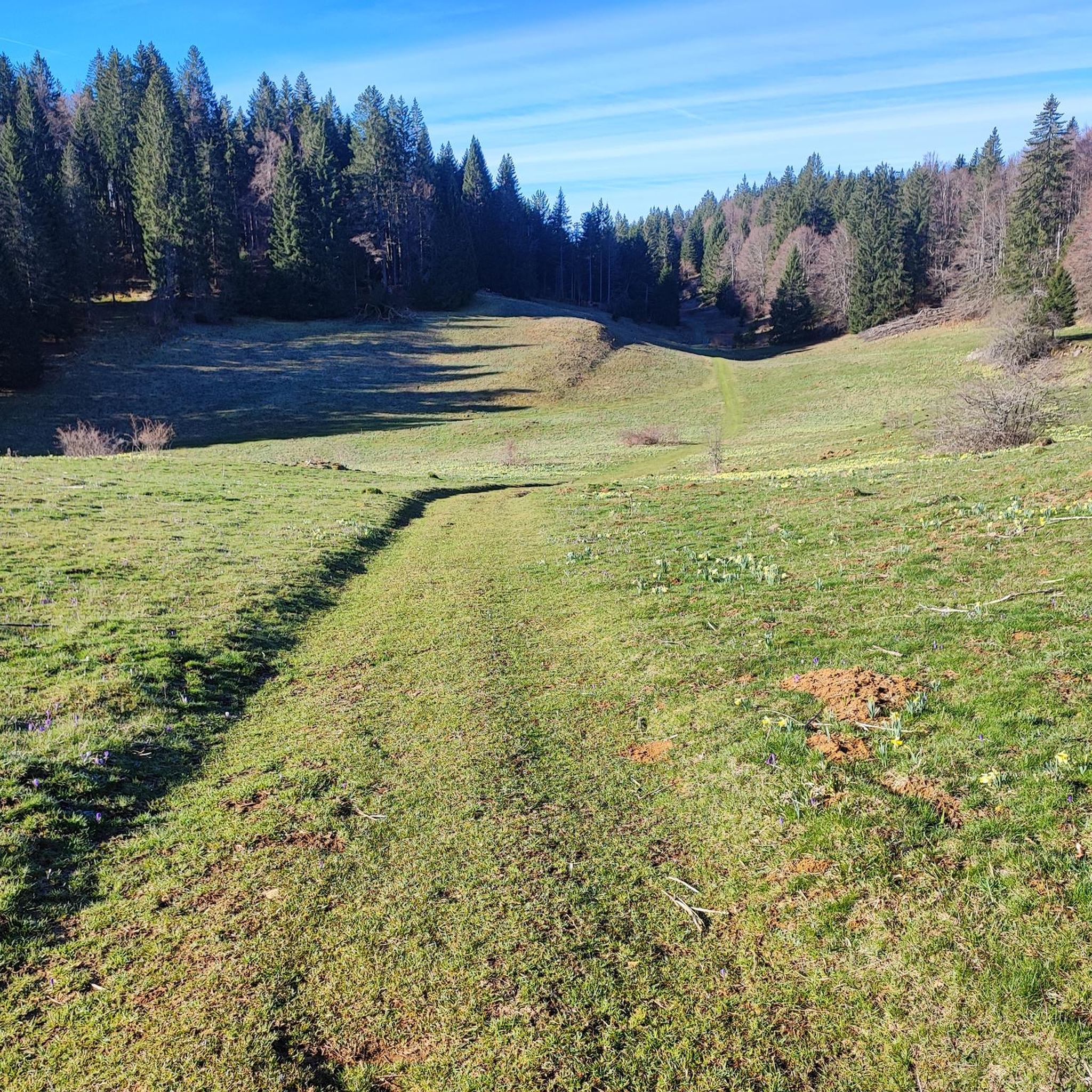
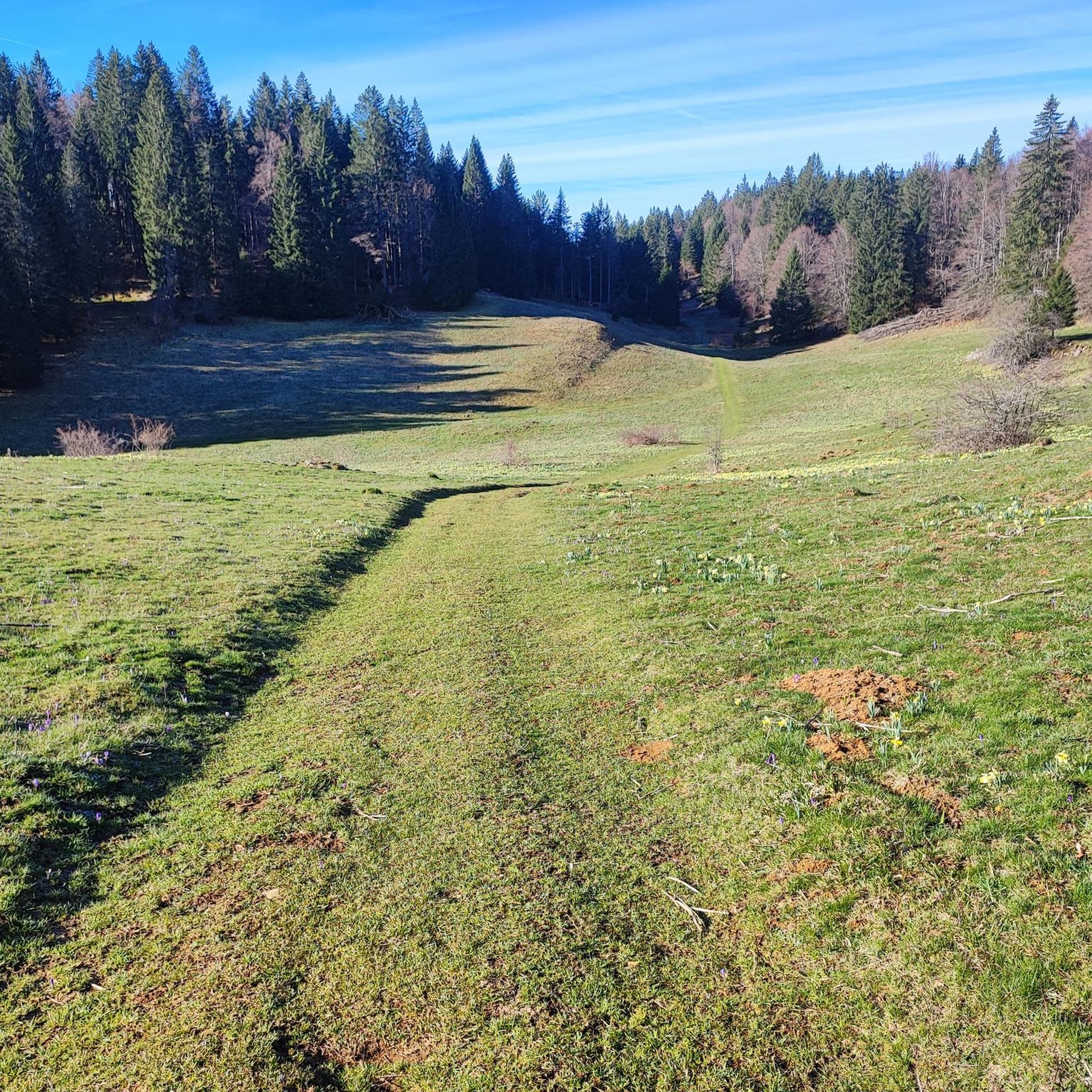
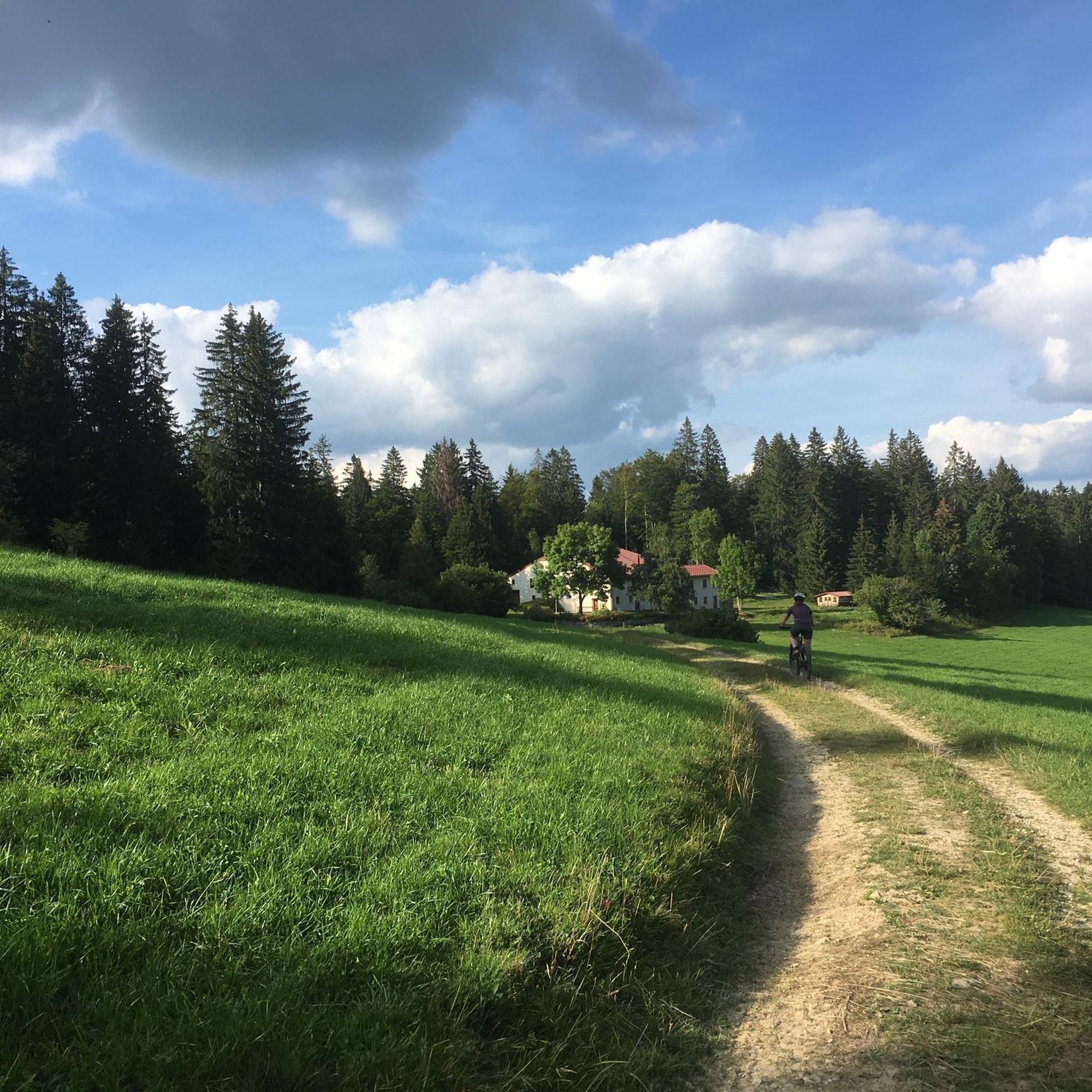
From the Col de la Faucille there are two more ways to go further up on a racing bike. This forest path leads first through a piece of forest, then through mountain pastures in the direction of the Col de Crozet. However, the asphalt ends before you reach the col.
0
0

super tour very hard a lot of uphill. wonderful landscapes.
0
0

Small Jura pass between the Bienne valley with Saint-Claude and the Semine valley with Saint-Germain-de-Joux. Quiet road D124. More information: https://www.quaeldich.de/paesse/col-de-la-croix-de-serra/
5
0
Frequently Asked Questions
What makes the mountain passes around Coyrière unique?
The mountain passes in the wider Jura region, where Coyrière is located, are known for their diverse natural beauty, ranging from panoramic views of the Alps and Lake Geneva to extensive forests and vibrant flower meadows. They offer a mix of challenging ascents for cyclists and peaceful routes for hikers, often reaching altitudes between 1,000 and 1,500 meters.
What kind of views can I expect from the mountain passes in the Jura region?
Many passes offer breathtaking vistas. For instance, Col de la Croix de Serra provides a peaceful route through the Bienne and Semine valleys. Further afield, the Col de la Faucille boasts 360-degree panoramas of the Alps and Valserine Valley, including Mont Blanc and Lake Geneva, while the Grand Colombier offers superb views of the Rhône Valley, several lakes, and distant Alpine peaks.
Are the mountain passes around Coyrière suitable for cycling?
Absolutely. The region is a popular destination for cyclists. Passes like the Col de la Faucille and the Grand Colombier are legendary climbs, frequently featured in the Tour de France. Col de la Croix de Serra is also known for its quiet roads, making it a pleasant cycling route. The area offers diverse terrain, from paved roads to gravel paths, catering to various cycling preferences. For more cycling routes, explore the Cycling around Coyrière guide.
What hiking opportunities are available near the mountain passes?
The mountain passes serve as excellent starting points for hiking. The Grand Colombier is significant for hiking and trail running, while the Col du Marchairuz offers themed trails focusing on geology and botany, with popular hikes to Mont Tendre. The Col du Chat is also a good base for trails on Mont du Chat. For specific hiking routes, check out the Running Trails around Coyrière guide.
What is special about <a href="https://www.komoot.com/highlight/3014576" target="_blank" rel="noopener">Col de la Croix de Serra</a>?
Col de la Croix de Serra is a small Jura pass connecting the Bienne valley with Saint-Claude and the Semine valley. It's appreciated for its peaceful D124 road with few cars, making it ideal for a quiet ride or drive. It has also been featured in the Tour de France, adding to its allure for cyclists.
What challenges does <a href="https://www.komoot.com/highlight/1485946" target="_blank" rel="noopener">Crozet Pass</a> offer?
Crozet Pass connects Crozet and Lelex over the Jura ridge. It features challenging uphill sections and diverse landscapes. Coming from Crozet, the paved forest road transitions into a coarse gravel path above approximately 1000 meters of altitude, making it a demanding route for mountain bikers and gravel cyclists.
What can I expect when ascending <a href="https://www.komoot.com/highlight/3752815" target="_blank" rel="noopener">Col de Magnard</a>?
Col de Magnard is a typical Jura pass, oscillating between 1,100 and 1,200 meters in altitude. It presents a long ascent that is initially challenging but becomes easier towards the end. Despite being a 'big road,' it's generally manageable and offers a rewarding experience through the Jura landscape.
Are there options for winter sports on the mountain passes?
Yes, in the colder months, some passes transform into winter activity hubs. The Col du Marchairuz is known for cross-country skiing, while the Col du Mollendruz becomes a popular spot for Nordic activities, offering a wide network of cross-country ski trails, snowshoe routes, and winter walking paths. Equipment rental is often available on-site.
What other outdoor activities can I do near these mountain passes?
Beyond road cycling and hiking, the region offers excellent mountain biking opportunities. You can find challenging routes like the 'La borne au lion – La Pesse loop' or 'Horsetail Falls – Combes Waterfall loop'. For more details, refer to the MTB Trails around Coyrière guide.
What is the best time of year to visit the mountain passes around Coyrière?
The best time to visit depends on your preferred activities. For cycling and hiking, late spring to early autumn (May to October) generally offers the most favorable weather conditions. For winter sports like cross-country skiing and snowshoeing, the colder months from December to March are ideal, especially around passes like Col du Marchairuz and Col du Mollendruz.
Are there any historically significant mountain passes in the area?
The Col du Chat, while primarily in Savoie, crosses the Mont du Chat within the Jura Mountains and has a rich history. It has been crossed by roads since ancient times, with historical figures like Montaigne traversing it. The surrounding area is also recognized for its unique flora and fauna and includes natural zones of ecological interest.
What do visitors enjoy the most about the mountain passes near Coyrière?
Visitors frequently highlight the tranquility and scenic beauty of the passes. Many appreciate the quiet roads for cycling, the challenging ascents, and the rewarding panoramic views. The diverse landscapes, from forests to mountain pastures, and the opportunity to experience routes featured in major cycling events like the Tour de France are also highly valued.
Most popular attractions around Coyrière

Get inspired with the komoot mobile app


Explore more
See even more epic mountain passes by checking out these guides around Coyrière:
