The best gravel rides in Buchenberg Nature Park
4.6
(7)
50
riders
4
rides
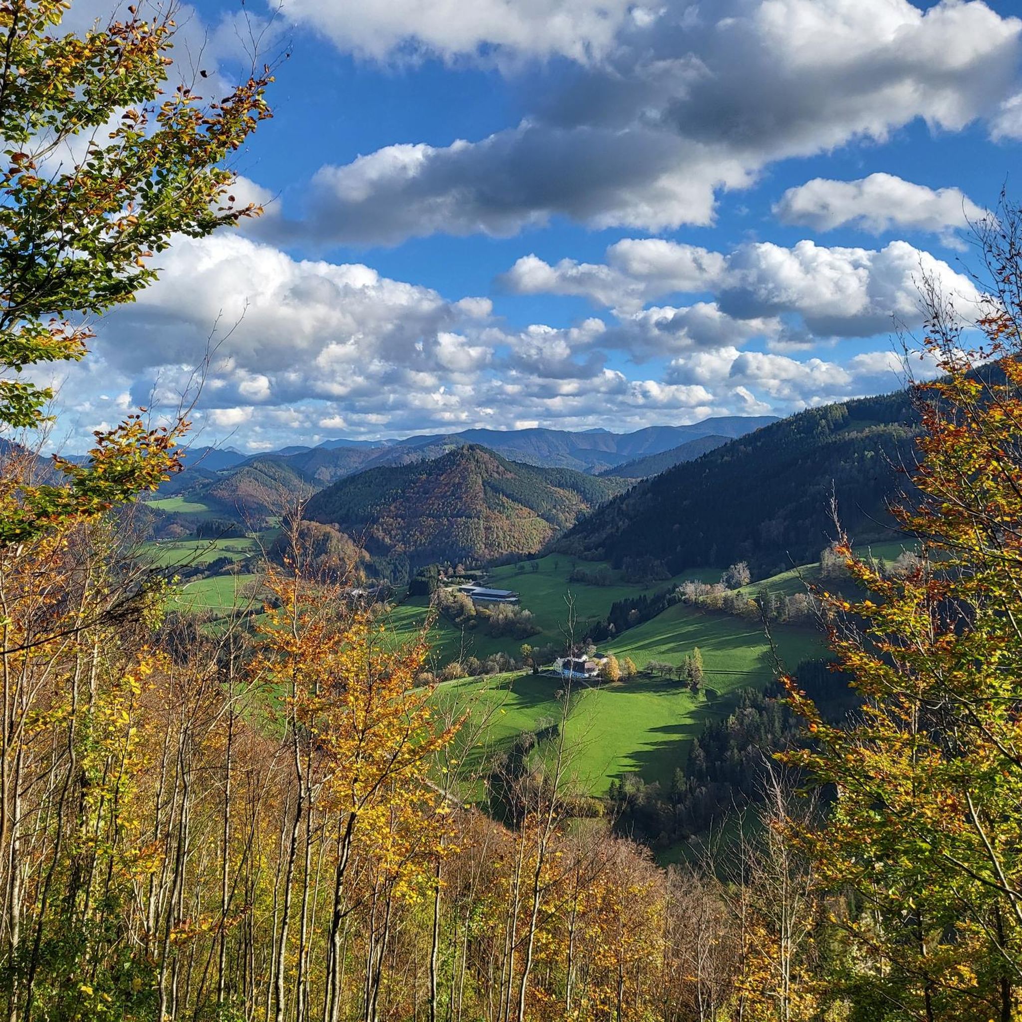
Gravel biking in Buchenberg Nature Park offers routes through gently rolling Alpine foothills, characterized by a blend of meadows, dense forests, and river valleys. The region features mixed surfaces, including unpaved forest roads and paths, alongside some paved sections. Cyclists can expect varied terrain with moderate ascents and sections following the Ybbs River, providing conditions suitable for gravel biking.
Best gravel bike trails in Buchenberg Nature Park
- The most popular gravel bike trail is Stone bridge over the Ybbs – View of the Ybbs River loop from Stadt Waidhofen an der Ybbs, a difficult 17.0 miles (27.3 km) trail that takes 2 hours 3 minutes to complete. This route offers views of the Ybbs River and surrounding forested areas.
- Another top favourite among local gravel bikers is View of Sonntagberg Basilica – Cyclists' Bridge over the Ybbs loop from Böhlerwerk, a moderate 25.9 miles (41.7 km) path. This trail includes sections along the Ybbs River and provides views towards Sonntagberg Basilica.
- Local gravel bikers also love the Ybbsitz – Stone bridge over the Ybbs loop from Waidhofen/Ybbs Pestalozzistraße, a 28.6 miles (46.1 km) trail leading through river valleys and forested terrain, often completed in about 3 hours 19 minutes.
- Gravel biking in Buchenberg Nature Park is defined by gently rolling hills, river paths along the Ybbs, and forested sections. The network offers options for moderate to difficult ability levels.
- The routes in Buchenberg Nature Park are highly rated by the komoot community with an average score of 4.8 stars from over 4 reviews. More than 20 gravel bikers have used komoot to explore Buchenberg Nature Park's varied terrain.
Last updated: July 11, 2026
5.0
(2)
15
riders
Hard gravel ride. Very good fitness required. Mostly paved surfaces. Suitable for all skill levels.
7
riders
15.4km
01:26
600m
600m
Hard gravel ride. Very good fitness required. Mostly paved surfaces. Suitable for all skill levels.

Sign up for free
6
riders
45.9km
03:18
1,010m
1,010m
Hard gravel ride. Very good fitness required. Mostly paved surfaces. Suitable for all skill levels.
4.2
(5)
22
riders
44.2km
02:37
240m
240m
Moderate gravel ride. Good fitness required. Mostly paved surfaces. Suitable for all skill levels.
Our route recommendations are based on thousands of hikes, rides, and runs completed by other people on komoot.
Start today with a free account
Your next adventure awaits.
Login or Signup
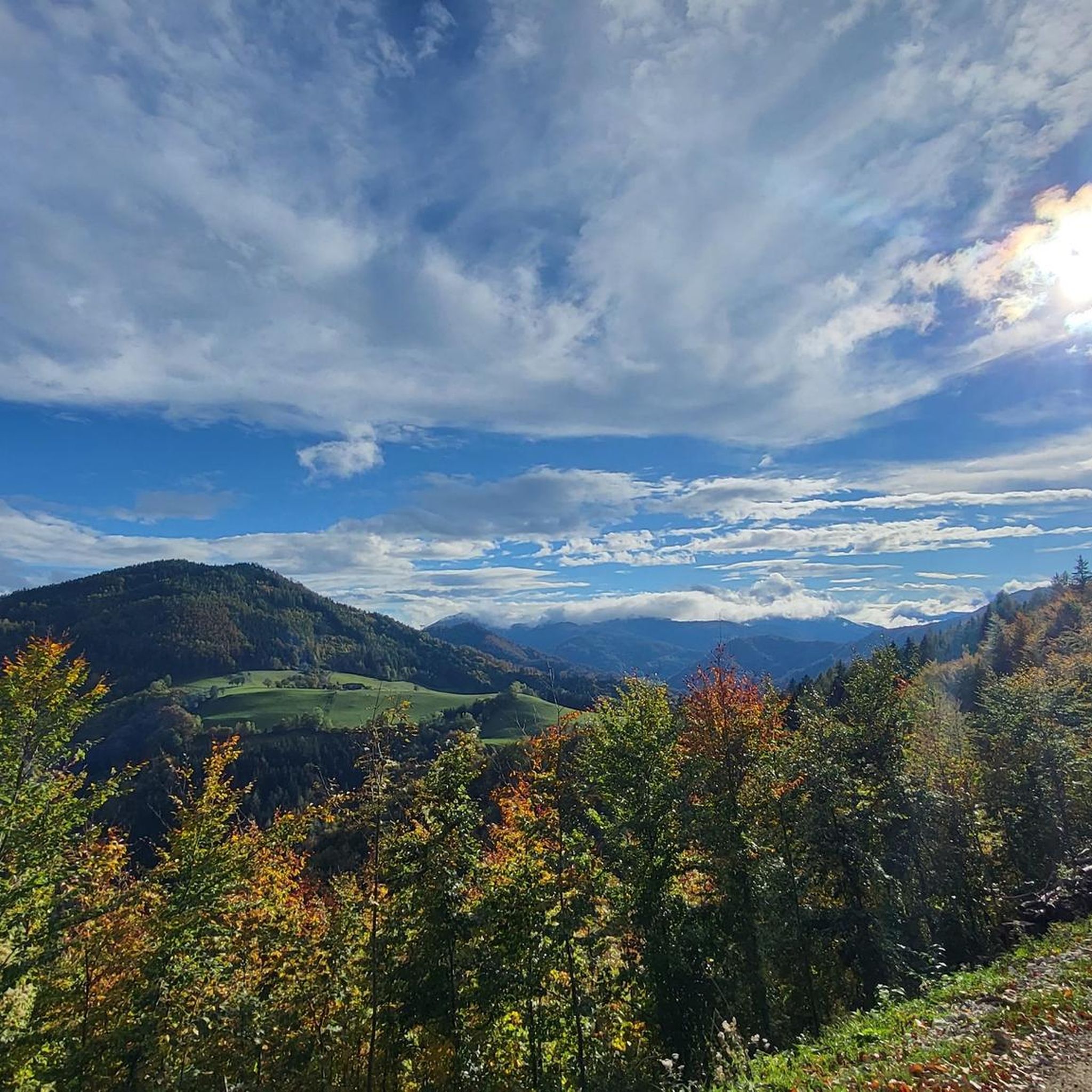
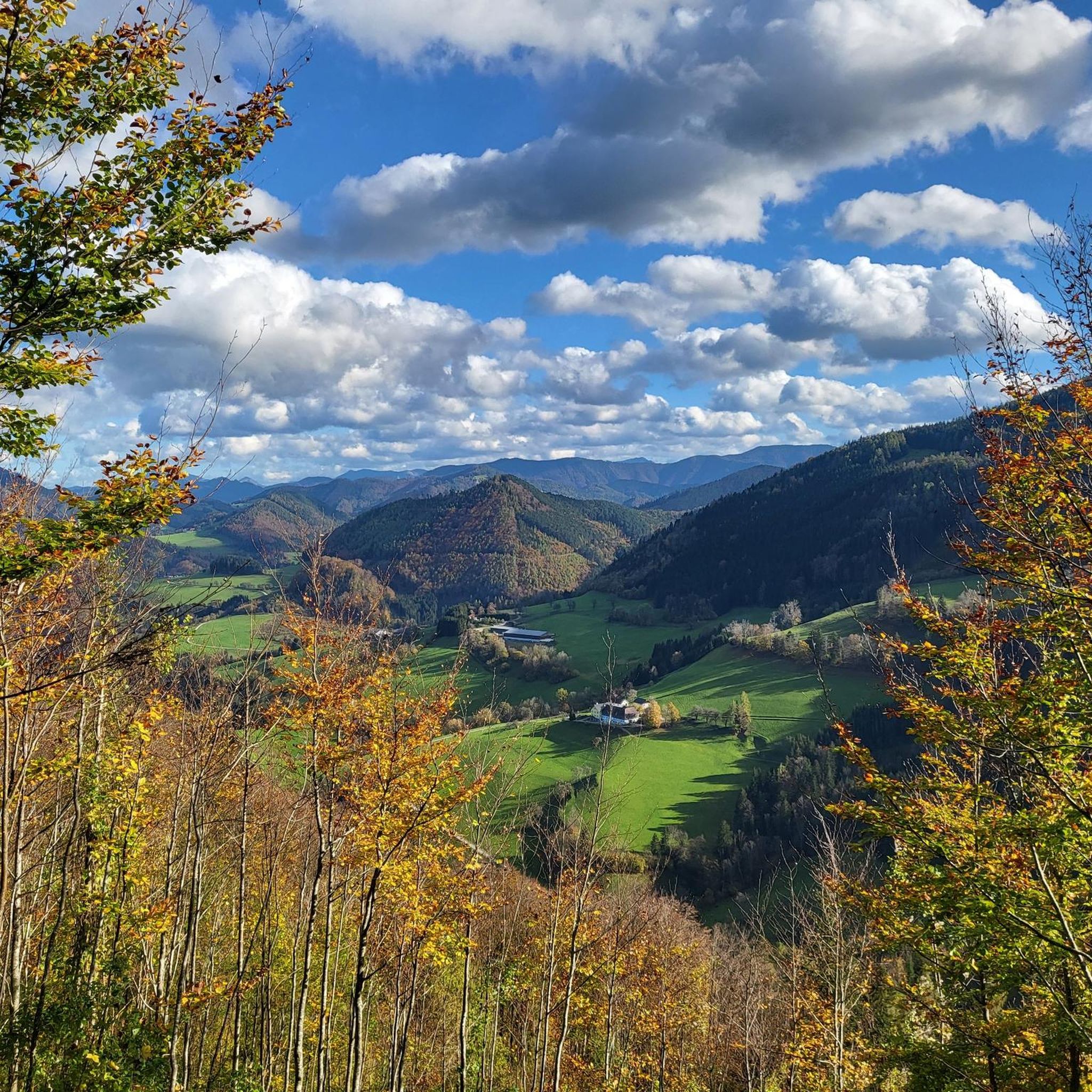
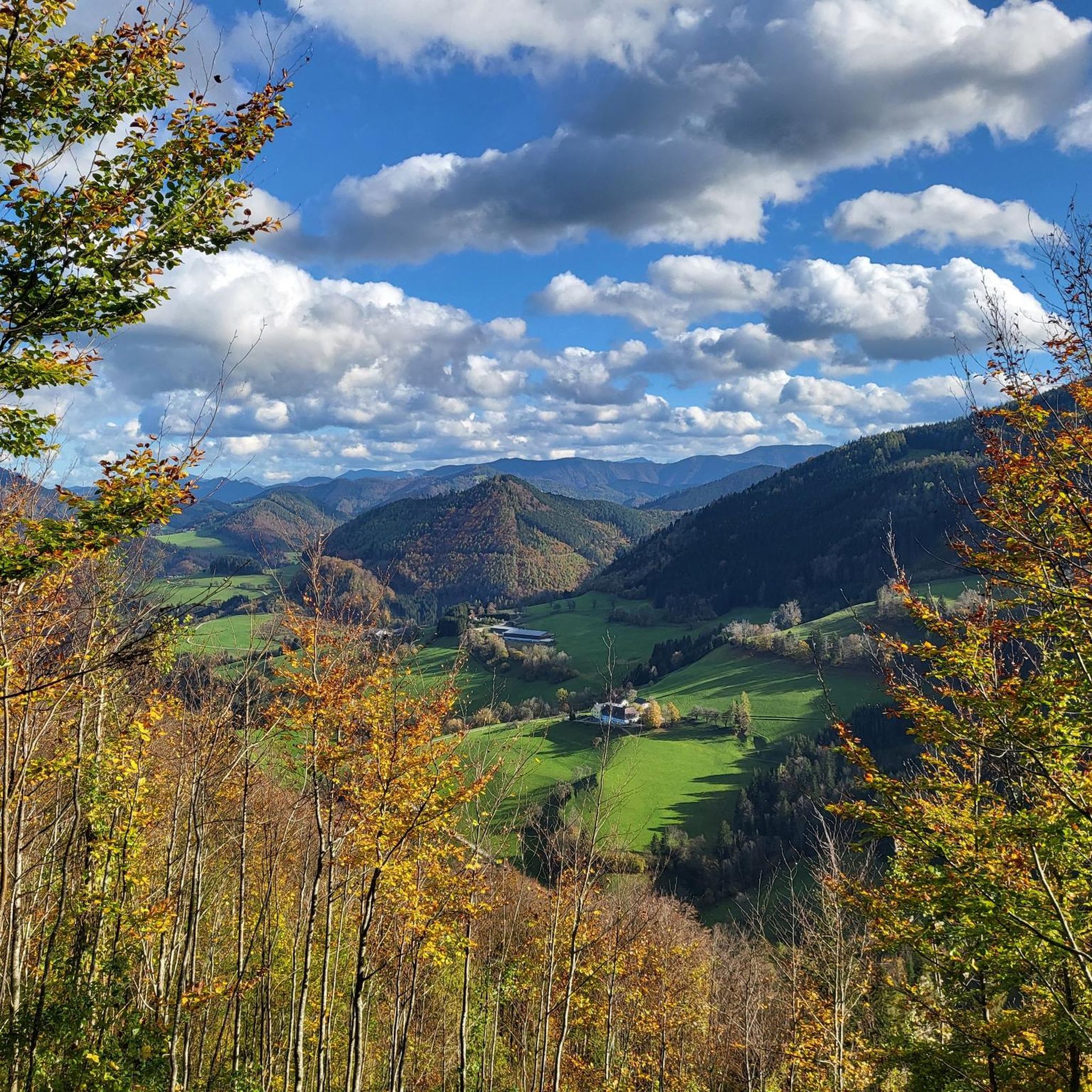
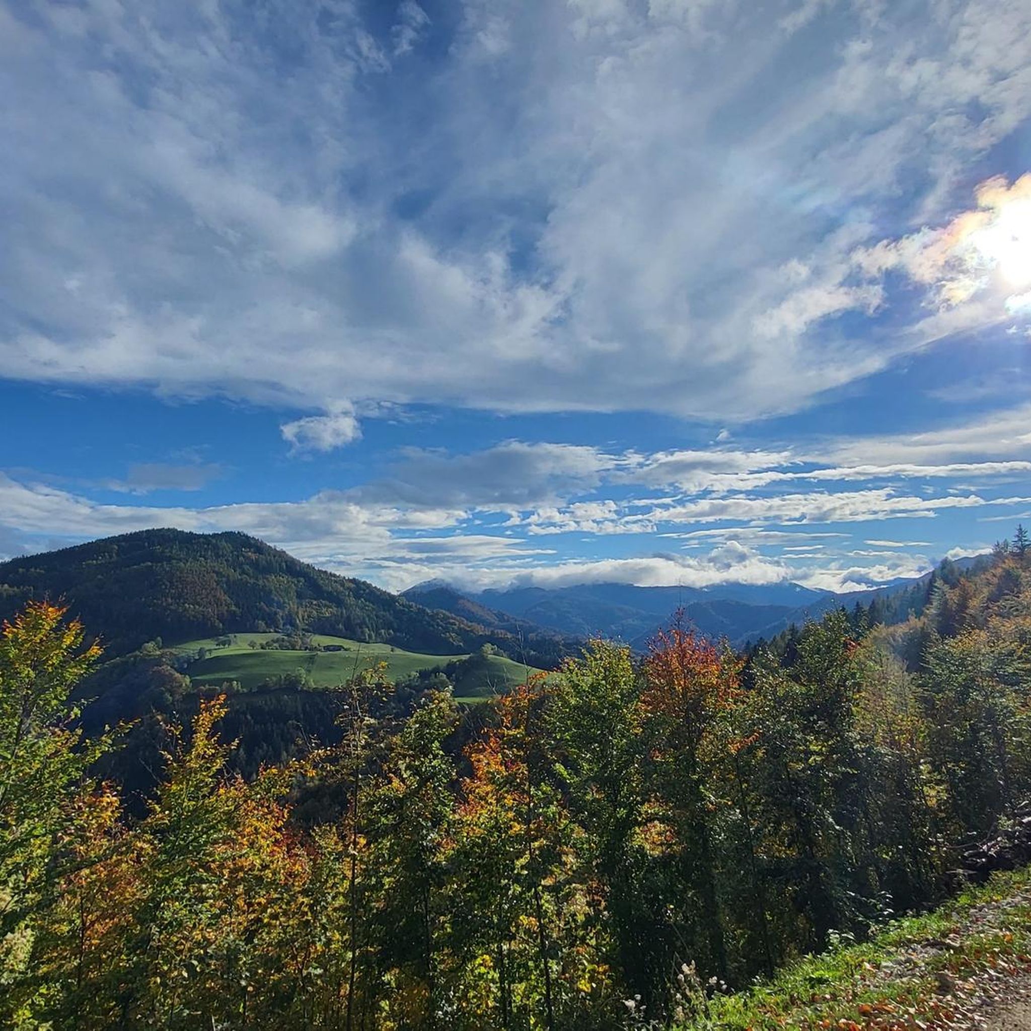

Tips from the Community

This is the starting point for the ascent to Glatzberg.
1
0

Cozy rest area by the river, perfect for refreshment.
0
0

Pilgrimage Church of the Holy Trinity and St. Michael. The Baroque basilica on the Sonntagberg is one of the most striking landmarks of the Mostviertel region. The remarkable Baroque high altar, an independent circular temple on a high base with twelve fluted columns – symbolizing the twelve tribes of Israel – was built from 1751 to 1757 according to a design by the architect and sculptor Melchior Hefele. At the center of the high altar stands the miraculous image of the Holy Trinity from 1614.
0
0

Of course it is a bridge over the Ybbs!!!
0
0

Near Ybbsitz
1
0

One of the major pilgrimage sites in lower Austria, definitely worth a trip inside!
0
0
very nice, of course even more so when the sun is shining!
2
0
Frequently Asked Questions
How many gravel bike trails are available in Buchenberg Nature Park?
Buchenberg Nature Park offers a selection of 15 gravel bike routes. These routes cater to various skill levels, with the majority being classified as difficult, and several moderate options available.
What is the typical difficulty level for gravel biking in Buchenberg Nature Park?
The gravel biking routes in Buchenberg Nature Park primarily range from moderate to difficult. You can expect challenging climbs and descents, with 11 routes rated as difficult and 4 as moderate. The terrain includes gently rolling hills and forested sections, often with mixed surfaces.
Are there any family-friendly gravel biking options in the park?
While the listed gravel routes are generally moderate to difficult, the broader Buchenberg Nature Park is known for its family-friendly attractions. For easier cycling with families, consider exploring sections of the nearby Ybbstal Cycle Path, which offers flatter terrain. Within the adventure park itself, there are many activities like an animal park, forest climbing park, and adventure playgrounds that are great for families, though not specifically gravel biking trails.
What kind of terrain and surfaces can I expect on the gravel bike trails?
The gravel bike trails in Buchenberg Nature Park feature a diverse landscape of gently rolling Alpine foothills, meadows, dense forests, and river valleys along the Ybbs River. You'll encounter mixed surfaces, including unpaved forest roads and paths, alongside some paved sections, providing a varied and engaging riding experience.
What are some scenic viewpoints or landmarks I can see along the gravel bike trails?
Many routes offer picturesque views. For example, the View of Sonntagberg Basilica – Cyclists' Bridge over the Ybbs loop from Böhlerwerk provides vistas towards the impressive Sonntagberg Basilica. You can also find specific highlights like the Ötscher Viewpoint, offering panoramic views, and various chapels such as Buchenberg Chapel and Untere Buchenberg Chapel.
Are there circular gravel bike routes available in Buchenberg Nature Park?
Yes, many of the gravel bike routes in Buchenberg Nature Park are designed as loops. For instance, the popular Stone bridge over the Ybbs – View of the Ybbs River loop from Stadt Waidhofen an der Ybbs is a challenging circular trail that takes you through diverse scenery.
Where can I park my car when visiting Buchenberg Nature Park for gravel biking?
While specific parking areas for gravel biking routes are not detailed, Buchenberg Nature Park, as a popular adventure park, offers designated parking facilities for visitors. It's advisable to check the official park website or local signage upon arrival for the most convenient parking options near your chosen starting point. For general park information, you can visit lower-austria.info.
How can I access Buchenberg Nature Park using public transport for gravel biking?
Buchenberg Nature Park is located near Waidhofen an der Ybbs, which is accessible by train. From Waidhofen an der Ybbs, local bus services or a short taxi ride can connect you to the park entrance. It's recommended to check local transport schedules for the most up-to-date information on connections to the park.
What is the best time of year to go gravel biking in Buchenberg Nature Park?
The spring, summer, and autumn months generally offer the best conditions for gravel biking in Buchenberg Nature Park. During these seasons, the weather is typically mild, and the trails are clear of snow and ice, allowing for enjoyable rides through the forests and along the river valleys. Winter conditions can make some unpaved sections challenging or impassable.
What do other gravel bikers enjoy most about gravel biking in Buchenberg Nature Park?
The routes in Buchenberg Nature Park are highly rated by the komoot community, with an average score of 4.9 stars from over 8 reviews. Reviewers often praise the varied terrain, the scenic views of the Ybbs River and surrounding forests, and the engaging challenge offered by the rolling hills and mixed surfaces.
Are there any specific permits required for gravel biking on the trails?
Generally, no specific permits are required for gravel biking on the designated trails within Buchenberg Nature Park or the surrounding public forest roads. However, it's always good practice to respect local regulations, stay on marked paths, and be mindful of other park users and wildlife.
Can I find places to eat or drink near the gravel bike trails?
Yes, the Buchenberg Nature Park area, being a popular destination, has facilities within and around it. Waidhofen an der Ybbs, the nearby town, offers various cafes and restaurants. Within the adventure park itself, there are often refreshment options available, especially during peak seasons. It's a good idea to check opening times before your ride.
What is the longest gravel bike route in Buchenberg Nature Park?
One of the longer routes you can explore is the View of Sonntagberg Basilica – View of the Ybbs River loop from Rosenau, which covers approximately 42.5 km (26.4 miles) and typically takes around 3 hours 25 minutes to complete.
Most popular routes in Buchenberg Nature Park
Most popular attractions in Buchenberg Nature Park

Get inspired with the komoot mobile app


