The 9 Most Amazing Peaks around Plankenfels
Best mountain peaks around Plankenfels are found in the scenic Franconian Switzerland region, offering elevated points with expansive views and historical significance. The area is known for its diverse hiking trails that traverse rolling hills, dense forests, and impressive rock formations. These natural features provide a tranquil setting for nature enthusiasts and hikers.
Best mountain peaks around Plankenfels
- The most popular mountain peaks is Neubürg Plateau and Sculpture Park, a viewpoint and natural monument that offers panoramic views across…
Last updated: June 24, 2026
Hohes Kreuz Observation Tower
Highlight • Viewpoint
Translated by Google •
Tip by

Neubürg Plateau and Sculpture Park
Highlight • Viewpoint
Translated by Google •
Tip by

Sign up now to discover places like this
Get recommendations on the best single tracks, peaks, & plenty of other exciting outdoor places.
Sign up for free
Hohe Leite
Highlight • Viewpoint
Translated by Google •
Tip by

Hoher Berg Summit
Highlight • Summit
Translated by Google •
Tip by

View of Schobertsberg and the Fichtelgebirge
Highlight (Segment) • Viewpoint
Translated by Google •
Tip by
Sign up for free to discover even more peaks around Plankenfels.
Sign up for free
Already have an account?
Start today with a free account
Your next adventure awaits.
Login or Signup
Tips from the Community

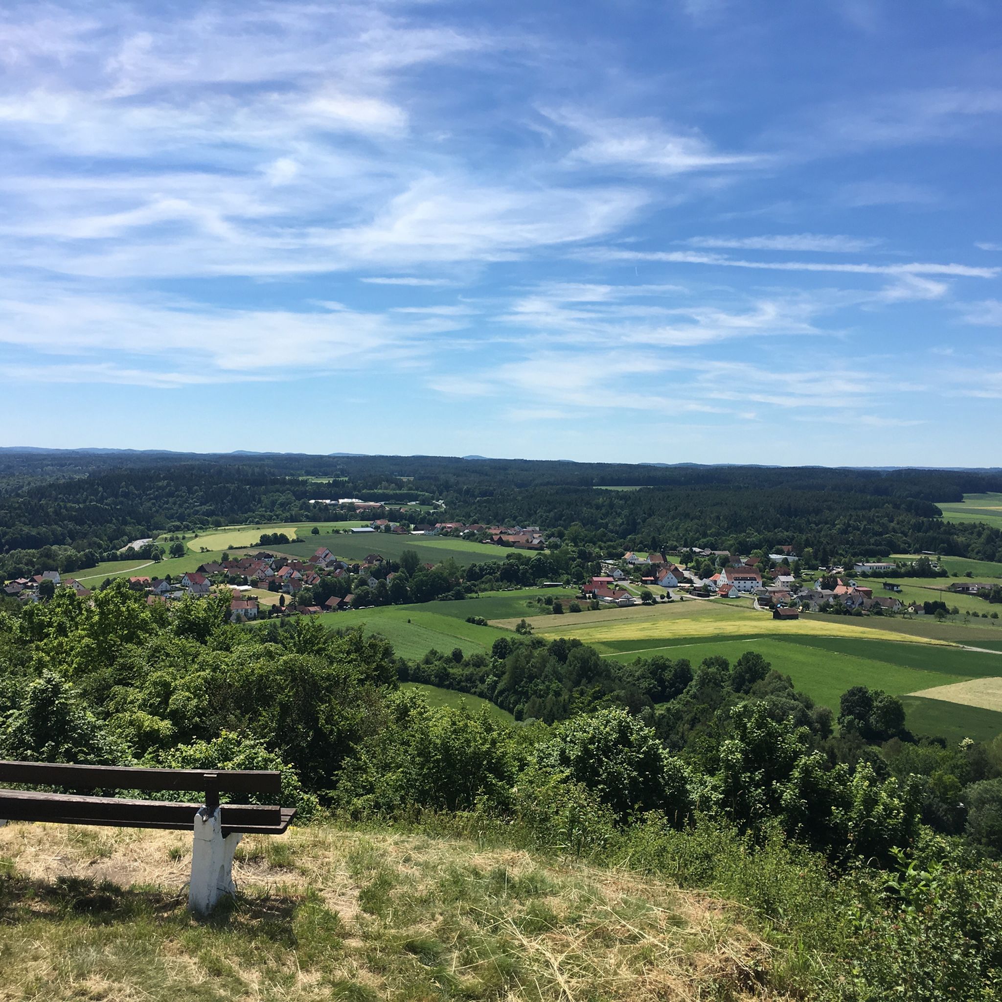
The hill is indeed high, but there's no view from the meadow because of the surrounding trees. The RW (Regional Hiking Trail) marked with the green ring from Mistelgau leads here and is a manageable 5.5 km.
1
0


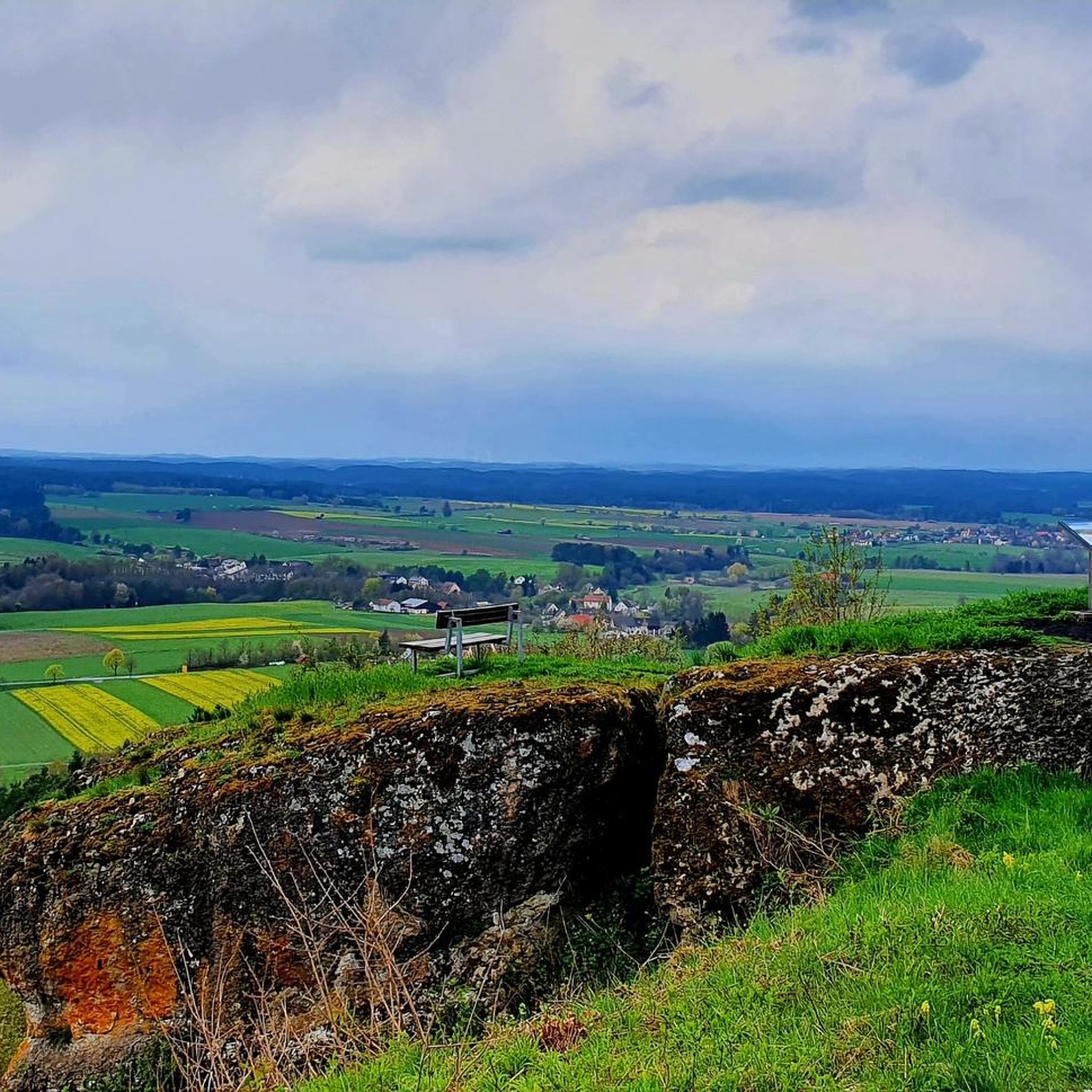
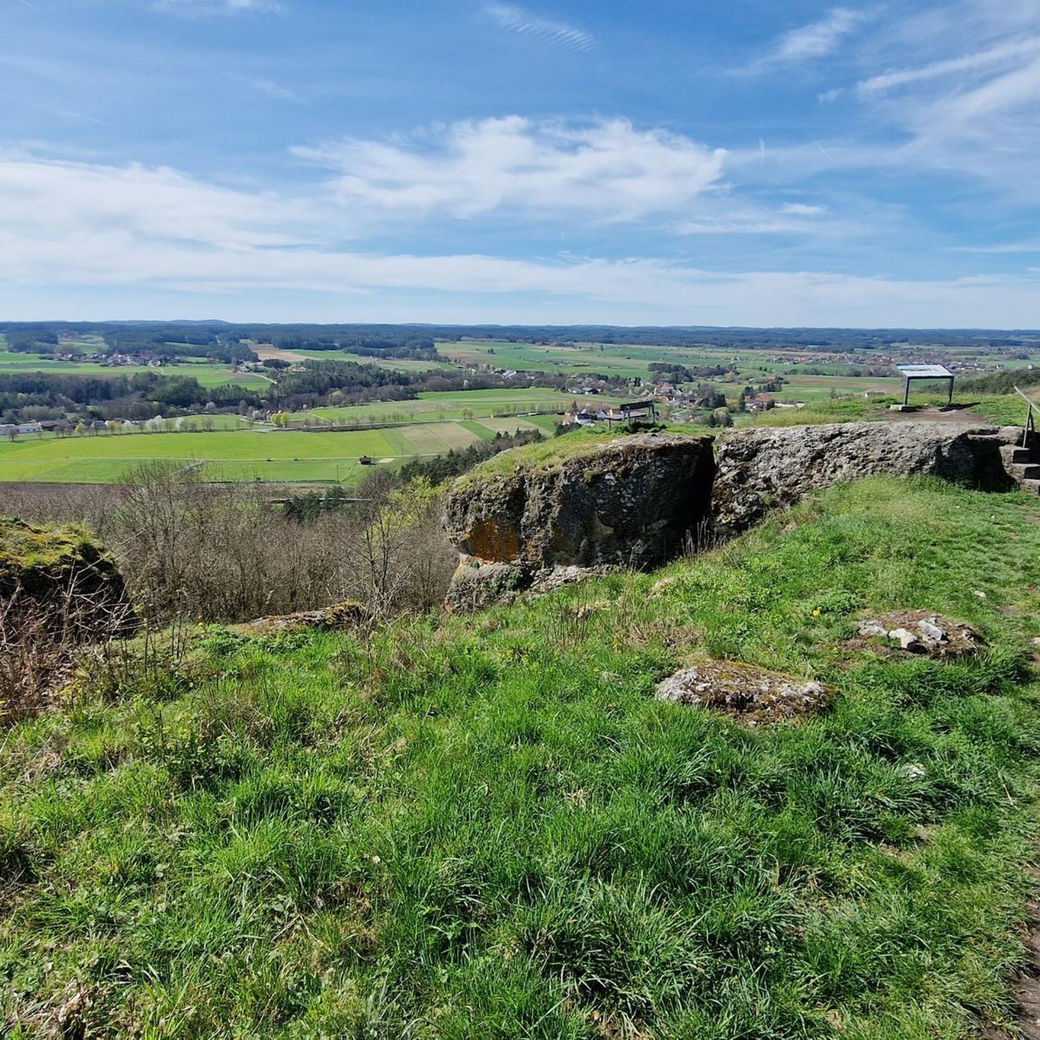
The Neubürg table mountain is the second highest elevation in the region at 587 meters, after the Sophienberg (593 meters). It is located in the Mistelgau municipality. The Neubürg was formed in the Jurassic period. The top layer consists of limestone, followed by Ornatenton and iron sandstone. The Neubürg is called a table mountain because it has a flat table surface instead of a dome. Due to the erosion-related formation, the Neubürg is also called an island or witness mountain. It stands like an island in the further eroded environment and "witnesses" the rock layers that previously covered the entire area.
13
3


There is a bench just below the tower. Ideal for snacks.
15
0

Update 2023: The section of the hiking trail over the Schobertsberg has been abandoned, the marked trail now leads around the mountain. As a result of massive tree felling, you now have a great view towards Bayreuth and the Fichtelgebirge. Some of the markings are still there, but the path is growing.
2
0

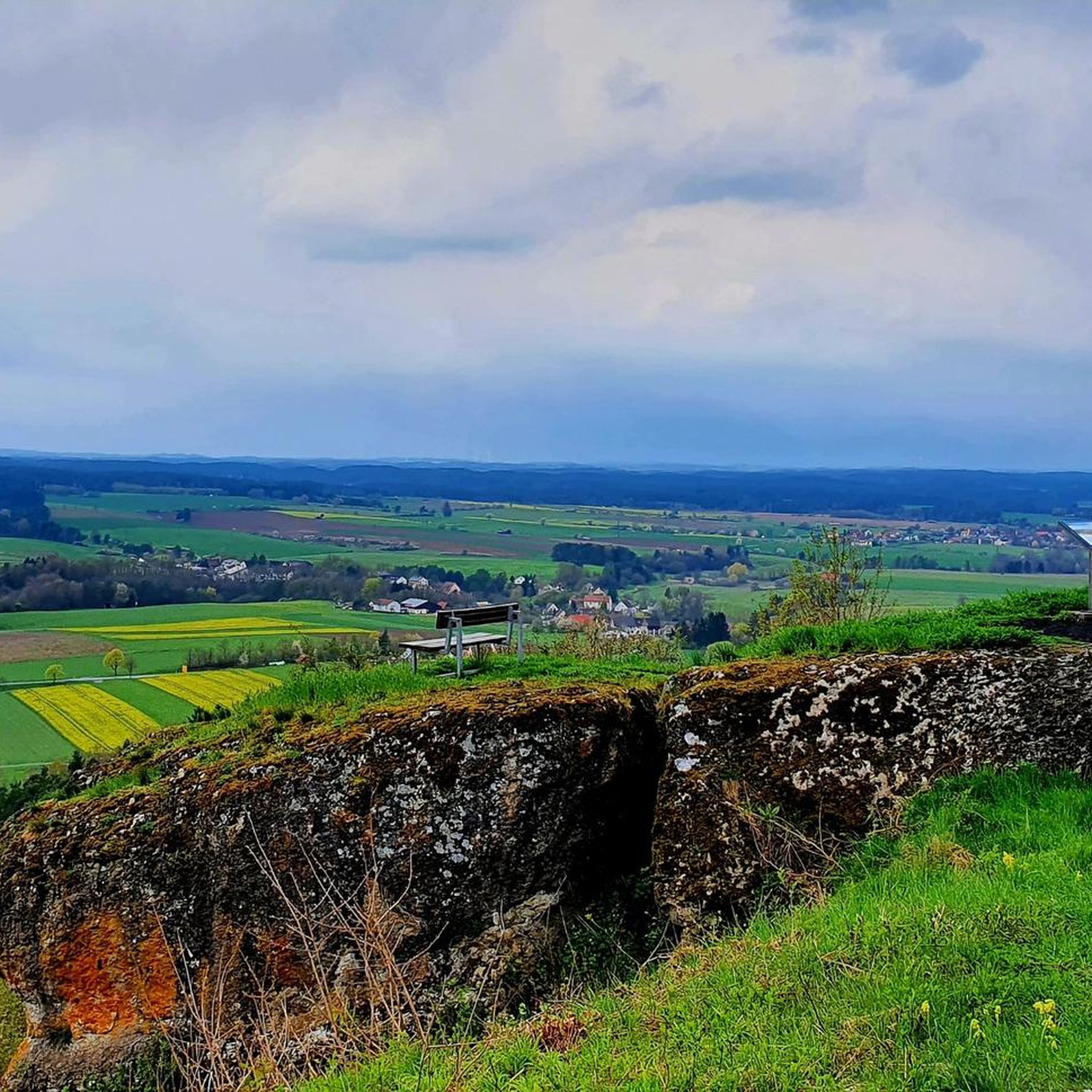
Here is the Franggische at your feet, awesome view ❗❗
3
0

With its new (built in 2012), 12-meter-high observation tower, the Hohe Kreuz – the highest point of the "hollow mountain" (522 + 12 m) – is now on par with the Adlerstein in height. The view extends over 270° from the Wiesent Valley with the Neideck, across the Aufseß Valley, to the Ochsenkopf in the Fichtel Mountains, and eastward into the Upper Palatinate region – on a clear day! https://www.fraenkische-schweiz.com/detail/id=5f5773735f7f9b38066ef2d9
16
0
Frequently Asked Questions
What are some of the most notable mountain peaks and viewpoints around Plankenfels?
The region around Plankenfels offers several elevated points with unique features. The Neubürg Plateau and Sculpture Park is a popular natural monument known for its panoramic views and a path featuring ten works of art. Another significant spot is the Hohes Kreuz Observation Tower, offering extensive 270-degree views. The Plankenstein itself is a defining natural landmark, home to historical castle remains and a Geo-hiking trail.
What makes the Plankenstein a significant peak in the Plankenfels area?
The Plankenstein, at 481 meters, is a defining natural landmark. It is historically significant as the site of the 13th-century Burgstall Plankenstein, the ancestral seat of a noble family. From its summit, visitors can enjoy impressive panoramic views across the Franconian Switzerland region, including the Hollfeld depression. It also features a dedicated Geo-hiking trail.
What kind of views can I expect from the Hohes Kreuz Observation Tower?
From the 12-meter-high Hohes Kreuz Observation Tower, situated on the 'hohlen Berg' (522 meters), you can enjoy a 270-degree view. On clear days, the vista extends across the Wiesenttal, over the Aufseßtal, and even as far as the Fichtelgebirge to the Ochsenkopf and into the Upper Palatinate region.
Are there any unique natural or artistic features on the peaks near Plankenfels?
Yes, the Neubürg Plateau and Sculpture Park is a highlight, featuring a path that leads past ten works of art on its summit plateau. Additionally, the Plankenstein offers a dedicated Geo-hiking trail that provides insights into the region's geology.
What hiking opportunities are available around the mountain peaks in Plankenfels?
The area around Plankenfels is ideal for hikers, with diverse trails traversing rolling hills, dense forests, and rock formations. The Plankenstein is a key point on several routes, including sections of the 'Lochautal Circular Route.' The Hohes Kreuz Observation Tower is also part of various mountain hiking routes. For more options, explore the Running Trails around Plankenfels guide, which includes many hiking-suitable paths.
Are there options for cycling or mountain biking near the peaks in Plankenfels?
Yes, the region offers various cycling opportunities. You can find numerous routes for road cycling in the Road Cycling Routes around Plankenfels guide. For off-road adventures, the MTB Trails around Plankenfels guide provides a selection of mountain biking trails.
Can I find running trails close to the mountain peaks in Plankenfels?
Absolutely. The area around Plankenfels is well-suited for running. You can discover a variety of running trails, including those that pass by elevated points and offer scenic views, in the Running Trails around Plankenfels guide.
Are there family-friendly mountain peaks or viewpoints suitable for children?
Yes, the Hohe Leite is a natural monument categorized as family-friendly, offering a quiet place with a great view and benches for resting. The Neubürg Plateau and Sculpture Park also provides an engaging experience for families with its art installations and panoramic views.
What historical sites can be found on the mountain peaks in Plankenfels?
The most prominent historical site is the **Burgstall Plankenstein** on the Plankenstein peak. These are the remains of a medieval castle built in the 13th century, which was once the ancestral seat of a noble family and gave the town of Plankenfels its name. While only minimal structural remnants exist, the site offers a rich historical context.
What do visitors particularly enjoy about the mountain peaks and viewpoints in Plankenfels?
Visitors frequently praise the impressive panoramic views, such as those from the Hohes Kreuz Observation Tower and the Neubürg Plateau. The quiet and peaceful atmosphere, like that found at Hohe Leite, is also highly appreciated. The blend of natural beauty, historical intrigue, and diverse hiking opportunities makes the region a popular choice for nature enthusiasts.
Is there a peak that offers views towards the Fichtelgebirge?
Yes, from the Hohes Kreuz Observation Tower, on clear days, you can see as far as the Fichtelgebirge to the Ochsenkopf. Additionally, the View of Schobertsberg and the Fichtelgebirge highlight specifically mentions a great distant view towards Bayreuth and the Fichtelgebirge.
Are there any peaks with a circular path for hiking?
Yes, the Hoher Berg Summit near Mistelgau, at an altitude of 530 meters, can be rounded on a circular path marked with a 'green ring'. This path offers wonderful views of the Neubürg and large parts of Franconian Switzerland and the Fichtelgebirge.
Most popular routes around Plankenfels
Most popular attractions around Plankenfels

Get inspired with the komoot mobile app


Explore more
See even more amazing summits around Plankenfels with these guides:
