The best gravel rides around Dechantskirchen
4.4
(9)
36
riders
11
rides
Gravel biking around Dechantskirchen offers a network of routes through the varied landscape of Styria. The region features river valleys, such as the Lafnitz Valley, alongside rolling hills and higher elevations, including areas near the Wechsel Pass. These gravel bike trails provide a mix of terrain, from riverside paths to more challenging climbs through forested areas and alpine pastures. The routes are predominantly classified as moderate or difficult, catering to experienced gravel bikers.
Best gravel bike trails around Dechantskirchen
- The…
Last updated: October 11, 2026
5.0
(1)
3
riders
Hard gravel ride. Very good fitness required. Mostly paved surfaces. Suitable for all skill levels.
2.8
(5)
11
riders
31.9km
02:00
240m
240m
Moderate gravel ride. Good fitness required. Mostly paved surfaces. Suitable for all skill levels.

3
riders
80.7km
06:21
2,120m
2,120m
Hard gravel ride. Very good fitness required. Mostly paved surfaces. Suitable for all skill levels.
5.0
(1)
5
riders
30.2km
02:19
780m
780m
Hard gravel ride. Very good fitness required. Mostly paved surfaces. Suitable for all skill levels.
5.0
(1)
2
riders
Hard gravel ride. Very good fitness required. Mostly paved surfaces. Suitable for all skill levels.
Get access to more routes and recommendations from other explorers.
Already have an account?
Our route recommendations are based on thousands of hikes, rides, and runs completed by other people on komoot.
Start today with a free account
Your next adventure awaits.
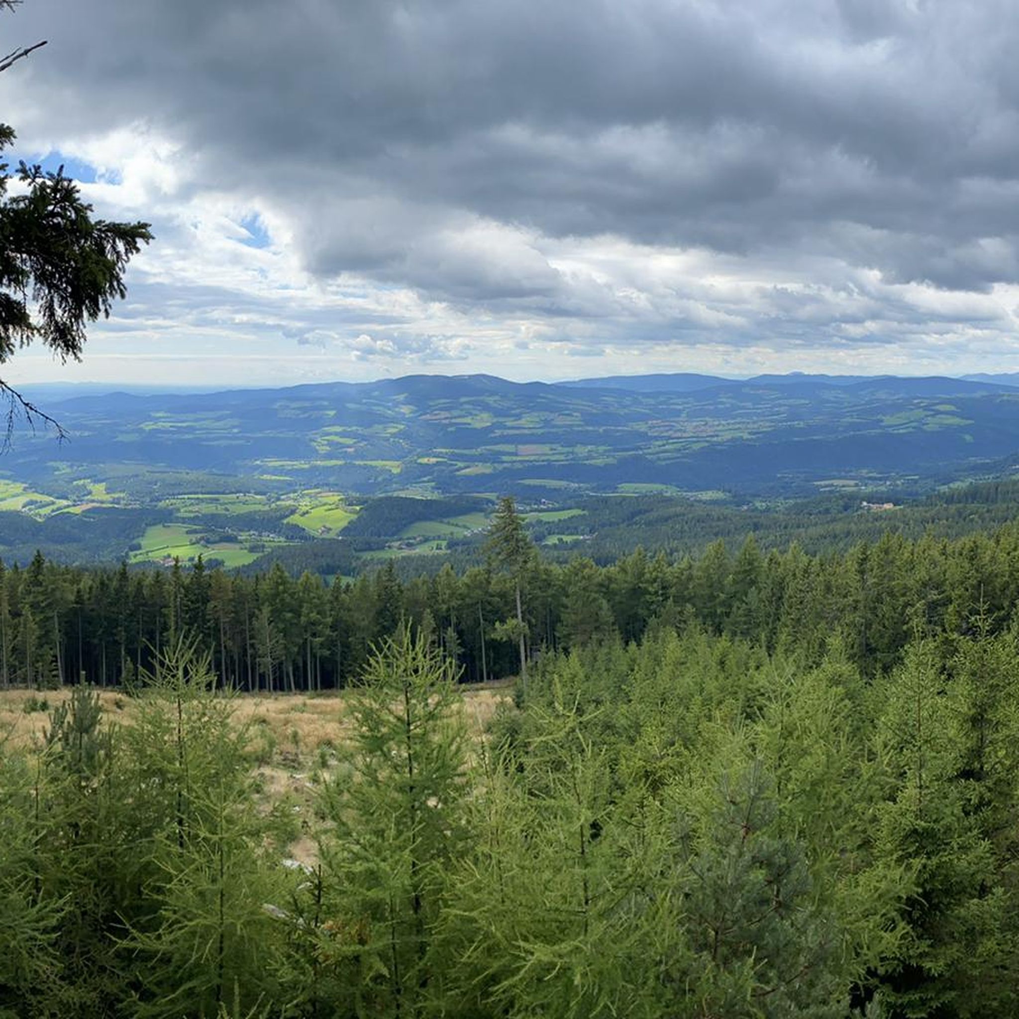
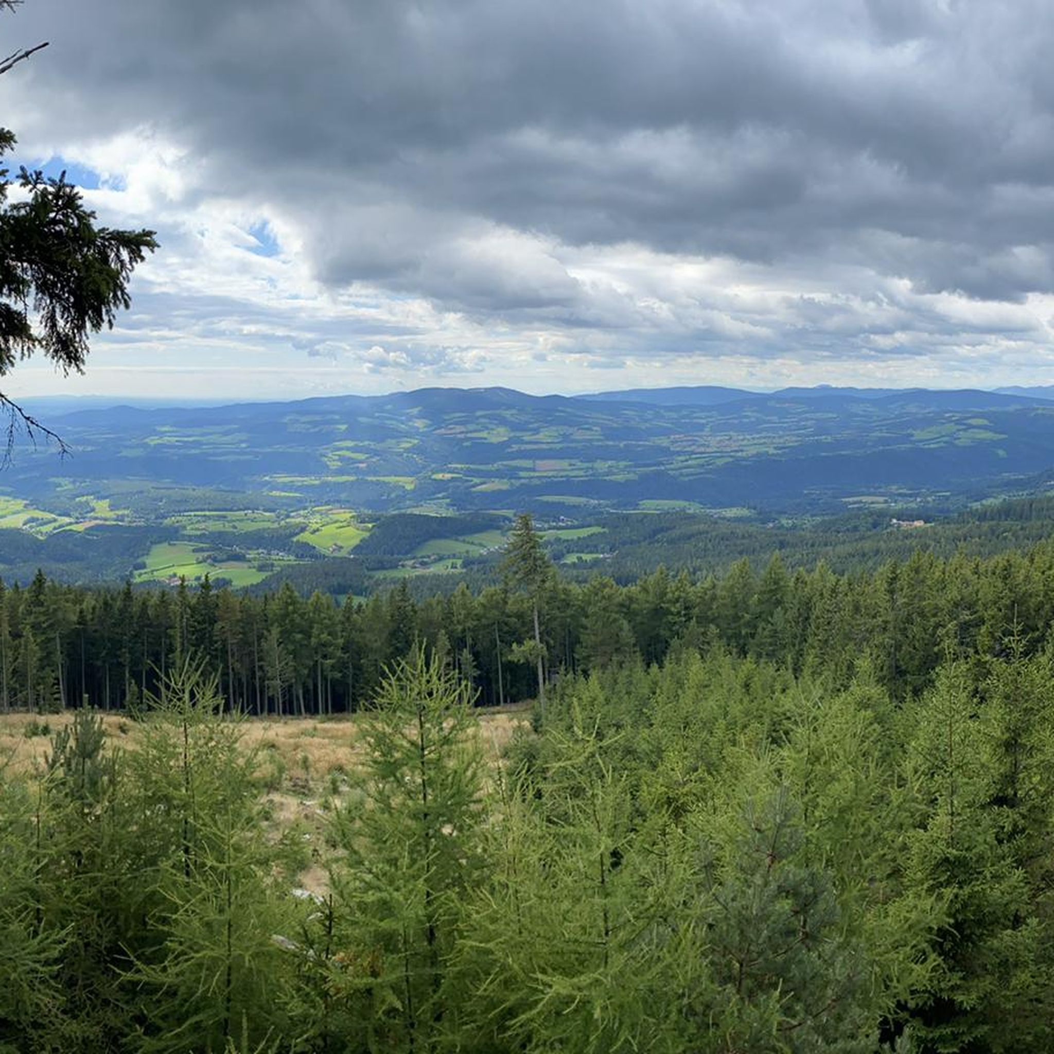
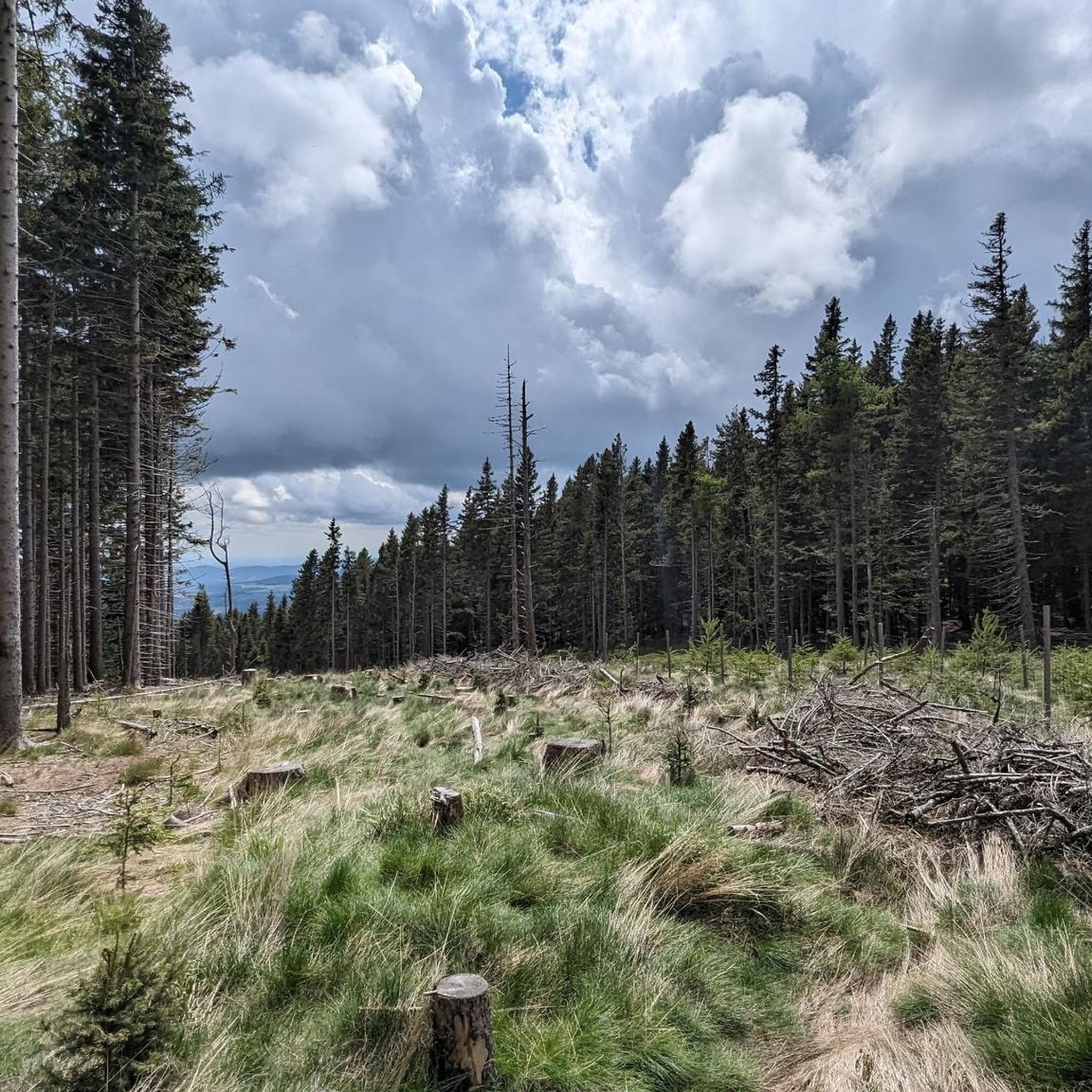
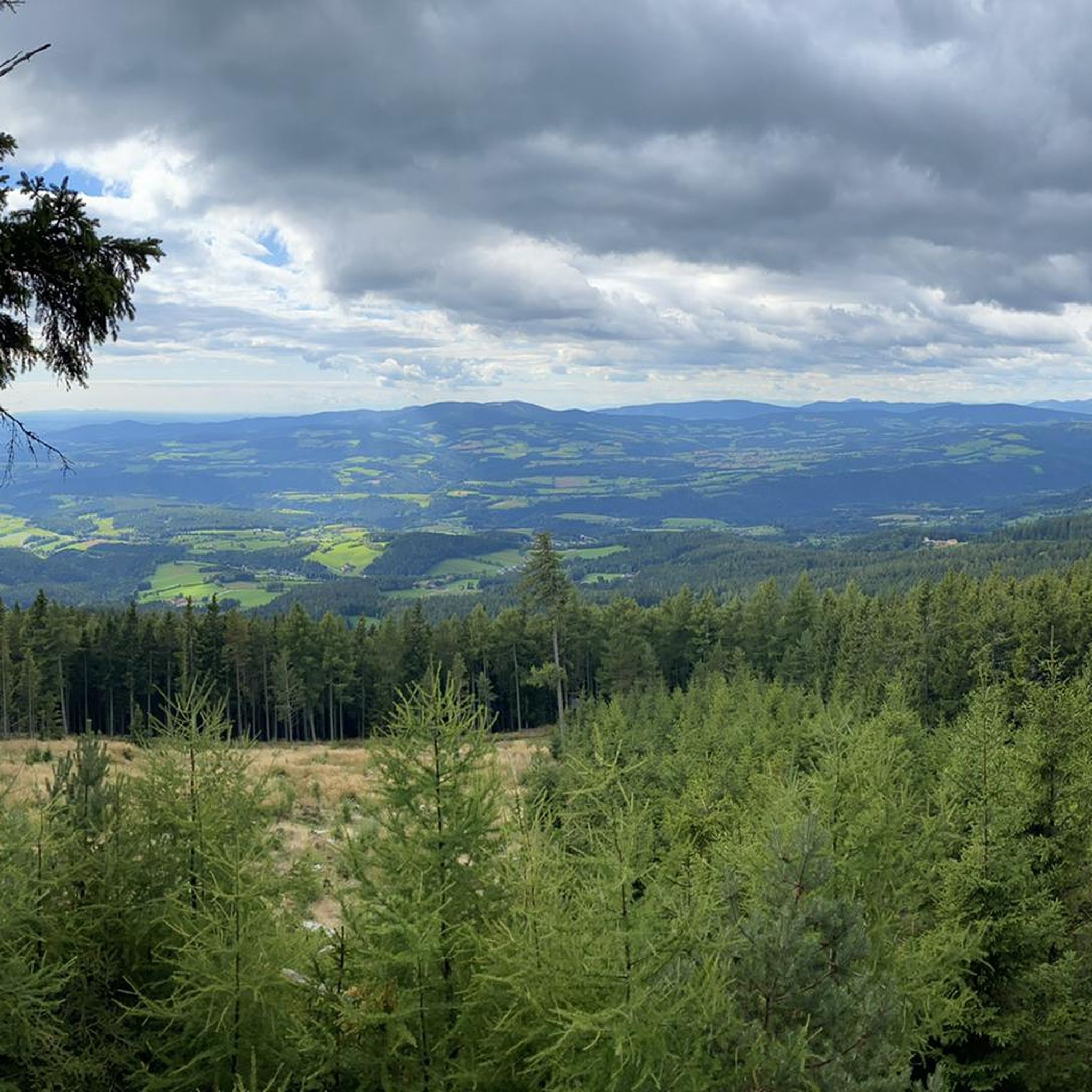
Tips from the Community

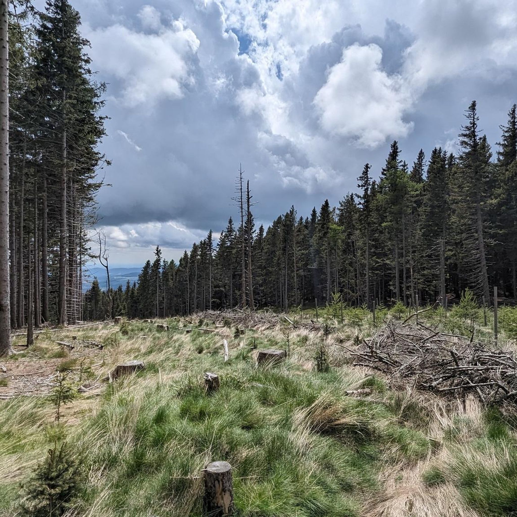
The Hallerhaus is a cozy mountain hut on the Wechsel and a popular resting point for hikers. The hut is located in the middle of the quiet forest and alpine landscape and is ideally suited for a stop during a tour over the Niederwechsel. A beautiful place to take a break and enjoy the typical landscape of the Wechsel region.
4
0


It is always open during the ski season, including Fridays.
1
0

Pure nature. I hiked through here in February. Fantastic! But it's surely even more beautiful in summer.
0
0

At the Vorauerhof, you can indulge not only in typical Styrian and Austrian specialties, but also in international delicacies and new creations. Daily menus, homemade cakes and desserts, and a wide selection of ice cream from Easter until the end of September complete the culinary offerings. The restaurant seats approximately 40 people. The light-filled conservatory, with space for 50 people, is particularly popular and perfect for small celebrations. During the summer months, guests can enjoy a centrally located beer garden. For larger celebrations or groups, such as weddings, christenings, birthdays, or company parties, the banquet hall (for approximately 110 people) provides the perfect setting. Following the philosophy "The future has tradition," the restaurant is constantly evolving while remaining true to its ancestors' original traditions and placing great emphasis on a personal touch. Whether you're looking for a cozy meal, planning a large celebration, or simply want to unwind – let yourself be pampered!
0
0

Be sure to climb the tower, there are only 147 steps and the view is fantastic.
0
0

Delicious food, friendly service, easy to reach by bike from Möhnichkirchen.
0
0
Frequently Asked Questions
What is the general difficulty level of gravel bike trails around Dechantskirchen?
The gravel bike trails around Dechantskirchen are predominantly classified as moderate or difficult. Out of 19 available routes, 10 are moderate and 9 are difficult, catering to experienced gravel bikers looking for a challenge.
What is the typical length of gravel bike routes in the Dechantskirchen area?
Gravel bike routes in the Dechantskirchen area vary significantly in length. For instance, the View from Marienseer Schwaig – Reservoir at Stoa Alm loop from Mönichkirchen is about 15.7 miles (25 km), while the Steintor near Kreuzwirt – Waldbach loop from Mönichwald extends to 50.2 miles (81 km).
Are there any easier gravel biking options for less experienced riders or families?
While many routes are moderate to difficult, there are options that offer a less strenuous experience. For example, the Lafnitz River Near Neustift – Lafnitz Valley loop from Rohrbach-Vorau is a moderate 19.9 miles (32 km) path that follows the Lafnitz River, offering gentler terrain suitable for those seeking a more relaxed ride.
When is the best time of year to go gravel biking in Dechantskirchen?
Given the region's mix of river valleys, rolling hills, and higher elevations near the Wechsel Pass, the best time for gravel biking is typically from late spring through early autumn. During these months, the weather is generally mild, and trails are clear of snow, offering optimal conditions for exploring the varied terrain of Styria.
Are there any circular gravel bike routes available?
Yes, many of the gravel bike routes around Dechantskirchen are designed as loops. Examples include the popular View from Marienseer Schwaig – Reservoir at Stoa Alm loop from Mönichkirchen and the Lafnitz River Near Neustift – Lafnitz Valley loop from Rohrbach-Vorau, allowing you to start and end your ride in the same location.
What kind of terrain can I expect on the gravel bike trails?
The terrain around Dechantskirchen is quite varied. You can expect a mix of riverside paths, particularly along the Lafnitz Valley, as well as more challenging climbs through forested areas and alpine pastures in the rolling hills and higher elevations near the Wechsel Pass.
What do other gravel bikers enjoy the most about gravel biking in Dechantskirchen?
The area is highly rated by the komoot community, with an average score of 5.0 stars from over 2 reviews. Reviewers often praise the varied terrain, from serene river valleys to challenging ascents, and the scenic views encountered along the routes.
Are there any viewpoints or scenic spots along the gravel bike routes?
Yes, the region offers several scenic spots. The View from Marienseer Schwaig – Reservoir at Stoa Alm loop from Mönichkirchen, for instance, features ascents to alpine pastures and views of a reservoir. Higher elevations also provide panoramic vistas of the Styrian landscape.
What interesting landmarks or attractions can I explore near the gravel bike trails?
Beyond the trails, you can explore several historical and natural attractions. Nearby castles include Reitenau Castle and Thalberg Castle. For nature lovers, the Chapel and summit cross on the Hochwechsel offers stunning views, and there are several mountain lodges like Hallerhaus Mountain Lodge.
Are there any very long-distance gravel bike routes for extended tours?
For those seeking longer rides, the Dechantskirchen area offers extensive routes. The Lafnitz Valley – Blumauer Vegetables 24h Shop loop from Grafendorf bei Hartberg is a challenging 87 km (54 miles) route, and the Steintor near Kreuzwirt – Waldbach loop from Mönichwald covers 81 km (50.2 miles), both suitable for longer, more demanding tours.
Are there options for gravel biking near the Wechsel Pass?
Yes, the region includes areas near the Wechsel Pass, offering routes with higher elevations and more challenging climbs. The Wechsel Pass near Mönichkirchen – Alpenhotel Enzian loop from Mönichkirchen is a difficult 28.2 km (17.5 miles) route that takes you through this scenic mountainous area.
Most popular routes around Dechantskirchen
Most popular attractions around Dechantskirchen

Get inspired with the komoot mobile app


Explore more
Browse the best Gravel rides in other regions.
