The best road cycling routes in Barr Lake State Park
4.8
(3)
77
riders
6
rides
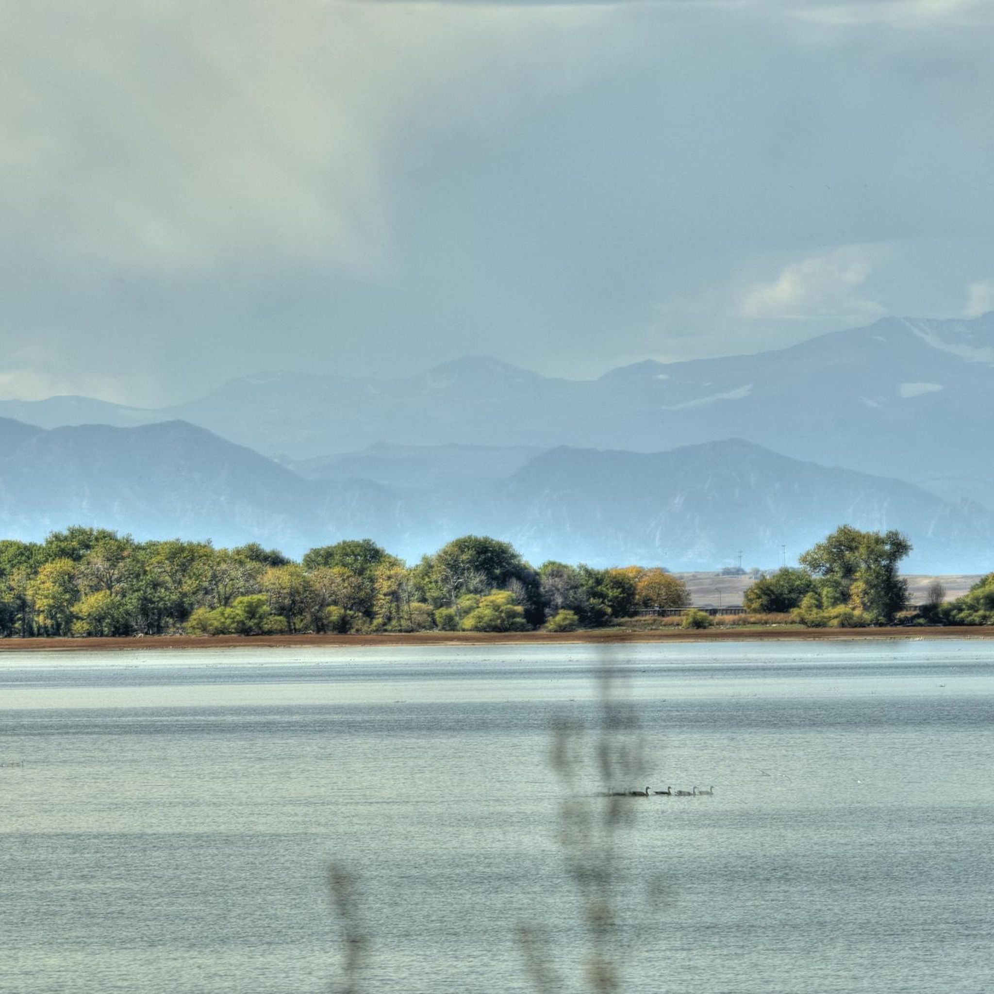
Road cycling in Barr Lake State Park features level terrain and multi-use paths, making it accessible for various skill levels. The park is centered around Barr Lake, a large reservoir, and is characterized by a prairie environment with native grasses. While dedicated paved roads for cycling are limited, the area offers routes that follow the South Platte River, providing a mix of natural scenery. This region is ideal for cyclists seeking flat to gently rolling paths through open landscapes.
Best…
Last updated: October 10, 2026
6
riders
149km
07:28
420m
420m
Cycle the difficult 92.4-mile South Platte River Trail, gaining 1372 feet in elevation through diverse Denver landscapes.
2
riders
23.5km
01:04
70m
70m
This easy 14.6-mile road cycling loop on the South Platte River Trail offers urban views, river scenery, and mountain backdrops.

5.0
(1)
20
riders
93.4km
04:46
280m
280m
Moderate road ride. Good fitness required. Mostly well-paved surfaces and easy to ride.
4.5
(2)
33
riders
33.0km
01:39
90m
90m
Easy road ride. Great for any fitness level. Mostly well-paved surfaces and easy to ride.
7
riders
Easy road ride. Great for any fitness level. Mostly well-paved surfaces and easy to ride.
Our route recommendations are based on thousands of hikes, rides, and runs completed by other people on komoot.
Start today with a free account
Your next adventure awaits.
Popular around Barr Lake State Park


Tips from the Community

The South Platte River Trail runs for nearly 35 miles through the suburbs and city of Denver, Colorado. This paved, multi-use path is popular with runners and walkers as well as bike commuters but is also a fantastic way to explore the Denver area on a long weekend ride away from traffic. The trail provides access to numerous parks, including Chatfield State Park at its far southern end. The South Platte River Trail is part of a larger network of trails in the Denver metropolitan area, connecting to the Cherry Creek Trail and the High Line Canal Trail, among others. It offers great views of the foothills, river, and wildlife as you ride.
0
0

This neighborhood park and open space is a popular spot for fishing. It also connects to the Platte River Trail and Colorado Front Range Trail.
0
0

The Chatfield Reservoir is a 1,423-acre lake in Chatfield State Park. There is a hiking path that runs alongside the water.
0
0
Great view of the South Platte River from the cycle trail. The trail is popular with walkers, runners, and cyclists, so if you want to stop to enjoy the view, make sure you pull off to the side.
0
0
The South Platte River Trail runs for nearly 35 miles through the suburbs and city of Denver, Colorado. This paved, multi-use path is popular with runners and walkers as well as bike commuters but is also a fantastic way to explore the Denver area on a long weekend ride away from traffic. The trail provides access to numerous parks, including Chatfield State Park at its far southern end. The South Platte River Trail is part of a larger network of trails in the Denver metropolitan area, connecting to the Cherry Creek Trail and the High Line Canal Trail, among others. It offers great views of the foothills, river, and wildlife as you ride.
0
0
The Lowell Ponds Wildlife Area in northwest Denver encompasses approximately 43 acres of warm-water ponds and riparian habitats. These ponds are home to species such as largemouth bass, smallmouth bass, channel catfish, bluegill, crappie, and bullhead catfish. Boating is prohibited to protect the habitat. In addition to fishing, Lowell Ponds is a nice spot for picnicking, hiking, and wildlife viewing. The site known for birdwatching, especially during migration periods when the ponds attract various waterfowl species.
2
0
Empower Field at Mile High, often called Mile High Stadium, is Denver’s iconic sports venue and home to the NFL’s Denver Broncos. Located near downtown, the stadium sits 5,280 feet above sea level, giving it its name. Opened in 2001, it replaced the original Mile High Stadium and can accommodate over 76,000 fans. The stadium hosts football games, concerts, and other large-scale events and features panoramic views of Denver and the Rocky Mountains. Outside, the "Bucky the Bronco" statue symbolizes the team and its history.
1
0

Great stop on the Platte River Trail, good coffer, place to sit and relx
1
0
Frequently Asked Questions
What kind of terrain can I expect when road cycling in Barr Lake State Park?
Road cycling in Barr Lake State Park primarily features level to gently rolling terrain. The routes often follow the South Platte River and traverse prairie environments with native grasses, making for a generally accessible and smooth riding experience.
Are there any easy road cycling routes suitable for beginners or families?
Yes, Barr Lake State Park offers several easy routes. For a shorter, accessible option, consider the South Platte River Trail Loop, which is about 14.6 miles (23.5 km) long. Another easy choice is the South Platte River Bridge – South Platte River Bridge loop from Commerce City, covering about 9.1 miles (14.7 km).
What are some longer road cycling routes for experienced riders?
For a more challenging, long-distance ride, the South Platte River Trail is an excellent choice, stretching approximately 92.4 miles (148.7 km) and typically taking over 7 hours to complete. Another option is the South Platte River Bridge – South Platte River Trail loop from Arsenal Perimeter Trail Parking, which is a moderate 50.2 miles (80.8 km) route.
What natural features or wildlife can I see while cycling in the park?
Barr Lake State Park is a haven for wildlife and natural beauty. Cyclists can enjoy views of the 1,950-acre Barr Lake itself, and the park is renowned as a premier birdwatching destination with over 350 documented species, including bald eagles, great blue herons, and pelicans. The southern portion of the park is a designated wildlife refuge, offering opportunities to spot deer and coyotes amidst the prairie landscape.
Are there any specific attractions or points of interest within Barr Lake State Park?
Absolutely! Beyond the cycling routes, visitors can explore the Barr Lake Nature Center, which offers educational exhibits. There are also several wildlife viewing stations, including an expansive gazebo boardwalk, perfect for observing the park's diverse fauna. For more information about the park's offerings, you can visit the Barr Lake State Park Wikipedia page.
What do other road cyclists enjoy most about road cycling in Barr Lake State Park?
The komoot community rates the road cycling experience in Barr Lake State Park highly, with an average score of 4.0 stars. Reviewers often praise the park's level terrain, the accessibility of its multi-use paths, and the peaceful prairie and riverine landscapes that define the routes.
Is the Barr Lake Perimeter Trail suitable for road bikes, and are there any special considerations?
The 8.8-mile Barr Lake Perimeter Trail is a multi-use path that circles the lake and is generally suitable for all ages and abilities due to its level terrain. However, it's recommended to use thorn-resistant tires, suggesting that while accessible, some sections may not be entirely paved or could pose a puncture risk.
Are there any circular road cycling routes available?
Yes, several routes offer a circular experience. The South Platte River Trail Loop is a popular easy circular option. Another loop is the South Platte River Bridge – Valente Lake loop from Brighton, which covers about 20.5 miles (33.0 km).
What is the best time of year to go road cycling in Barr Lake State Park?
While specific seasonal recommendations aren't detailed, the park's prairie environment suggests that spring and fall would offer pleasant temperatures for cycling. Summer can be warm, and winter activities like snowshoeing and cross-country skiing are possible depending on conditions, implying that road cycling might be less ideal during colder, snowy months.
How many road cycling routes are available in Barr Lake State Park?
There are at least 5 distinct road cycling routes detailed for Barr Lake State Park, offering a variety of distances and difficulty levels from easy loops to more challenging long-distance rides.
Are there options for different skill levels among the road cycling routes?
Yes, the routes cater to various skill levels. You'll find easy options like the South Platte River Trail Loop, moderate routes such as the South Platte River Bridge – South Platte River Trail loop from Arsenal Perimeter Trail Parking, and difficult, long-distance challenges like the main South Platte River Trail.
What kind of environment defines the road cycling experience in Barr Lake State Park?
The road cycling experience in Barr Lake State Park is defined by its unique prairie environment, featuring native grasses and wildflowers. Routes often run alongside the South Platte River and offer views of Barr Lake, providing a blend of open landscapes and riparian scenery.
Most popular routes in Barr Lake State Park

Get inspired with the komoot mobile app


Explore more
Browse the best Road cycling routes in other regions.
