The best gravel rides in Meloner Au
5.0
(1)
12
riders
2
rides
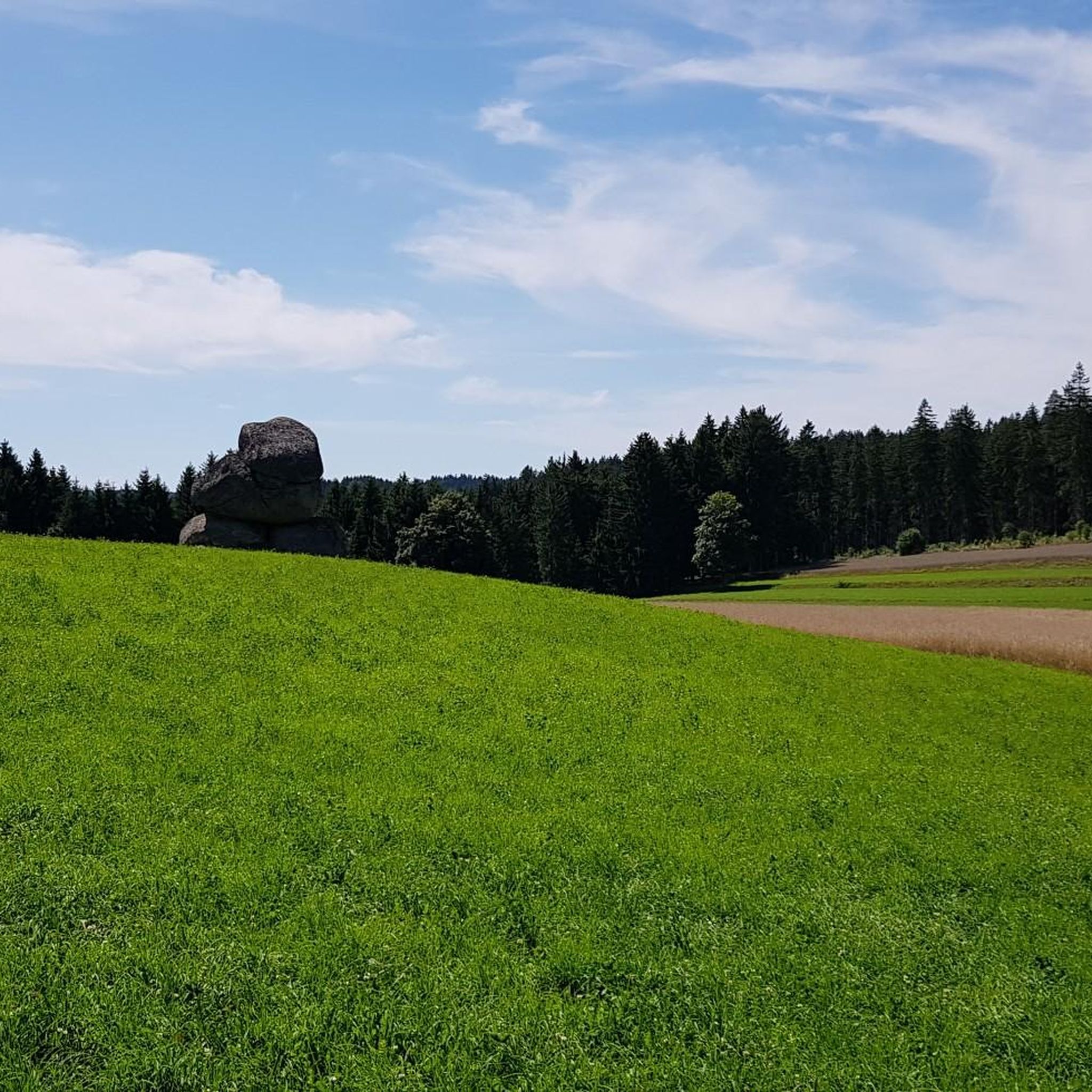
Gravel biking in Meloner Au is situated within the Waldviertel region of Lower Austria, offering diverse and scenic landscapes. The terrain features a mix of paved and unpaved sections, including moss-covered forests, rolling hills, and distinctive granite formations. This area is known for its mixed-surface routes, providing an ideal environment for gravel cyclists. The region's unique high moor landscape contributes to a primeval character, making it suitable for adventurous gravel biking.
Best gravel bike trails in Meloner Au
- The most popular gravel bike trail is Along the Granittrail – Groß Gerungs Railway Station loop from Arbesbach, a 21.0 miles (33.8 km) trail that takes 2 hours 32 minutes to complete. This difficult route offers varied terrain through the Waldviertel landscape.
- Another top favourite among local gravel bikers is The Forest Railway – Dürnbergteich loop from Schönbach, a difficult 18.6 miles (29.9 km) path. This route leads through forested areas and past water features.
- Local gravel bikers also love the Klammer Chapel – Inn at the Black Eagle loop from St. Georgen am Walde, a 19.0 miles (30.6 km) trail leading through varied terrain with significant elevation gain, often completed in about 2 hours 41 minutes.
- Gravel biking in Meloner Au is defined by mixed terrain, moss-covered forests, and rolling hills. The network offers options for different ability levels, though many routes in this specific area are challenging.
- The routes in Meloner Au are highly rated by the komoot community with an average score of 5.0 stars from a few reviews. More than 10 gravel bikers have used komoot to explore Meloner Au's varied terrain.
Last updated: July 5, 2026
2
riders
33.8km
02:32
560m
560m
Hard gravel ride. Very good fitness required. Mostly paved surfaces. Suitable for all skill levels.
3
riders
30.7km
02:09
490m
490m
Hard gravel ride. Very good fitness required. Mostly paved surfaces. Suitable for all skill levels.

Sign up for free
2
riders
29.7km
02:35
770m
760m
Hard gravel ride. Very good fitness required. Mostly paved surfaces. Suitable for all skill levels.
5.0
(1)
3
riders
23.5km
01:52
510m
510m
Hard gravel ride. Very good fitness required. Mostly paved surfaces. Suitable for all skill levels.
2
riders
22.3km
01:56
620m
620m
Hard gravel ride. Very good fitness required. Mostly paved surfaces. Suitable for all skill levels.
Our route recommendations are based on thousands of hikes, rides, and runs completed by other people on komoot.
Start today with a free account
Your next adventure awaits.
Login or Signup
Tips from the Community

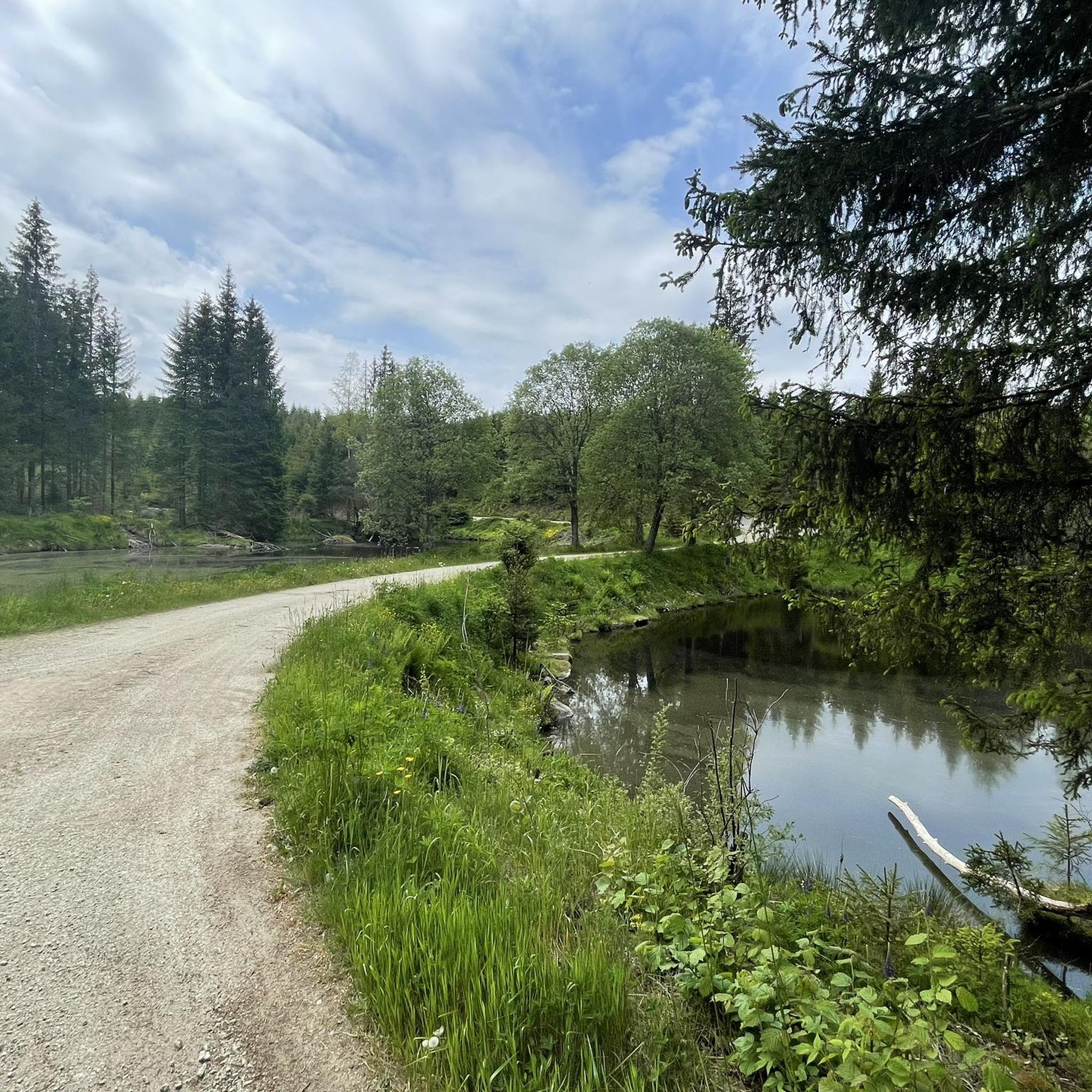
Cozy resting place in the forest along the mountain bike trail.
0
0

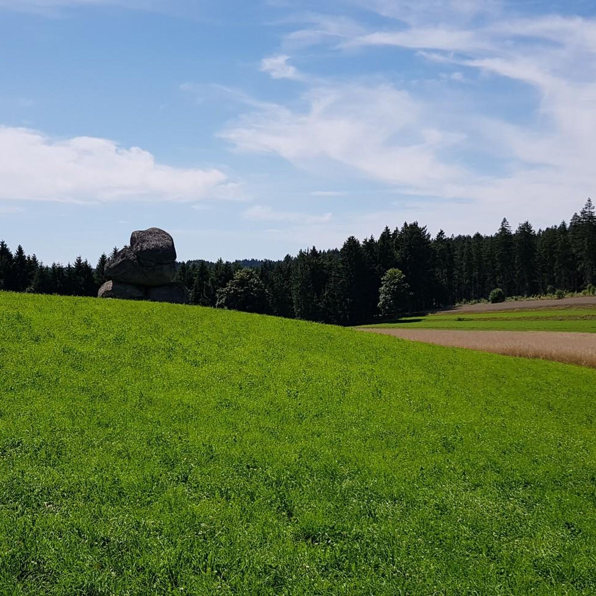
On the somewhat more challenging off-road descent from Schreineredt to Salchenedt, you can enjoy this beautiful view all the way to Königswiesen with the Hansenberg behind it
0
0

Schönbach was first documented as a market town in 1351 and had belonged to the Rappottenstein domain since the 14th century. Pilgrimages to "Our Lady Maria Rast" were already mentioned in 1421. Construction of the present church began in 1450; the previous one had become too small. The church was consecrated in 1457. From 1698 to 1828, Schönbach was a Hieronymite monastery. In 1700, Schönbach became an independent parish. The monastery and church were severely damaged in the village fire of 1849. Valuable archival material was lost.
0
0
In 1900, the chapel became a parish church, the rectory was built, and the House of Habsburg assumed patronage for the next 100 years. In 1924, Bärnkopf became an independent parish. On August 15, 1905, Bishop Johannes Baptist Rößler signed the deed of foundation for the parish.
0
0
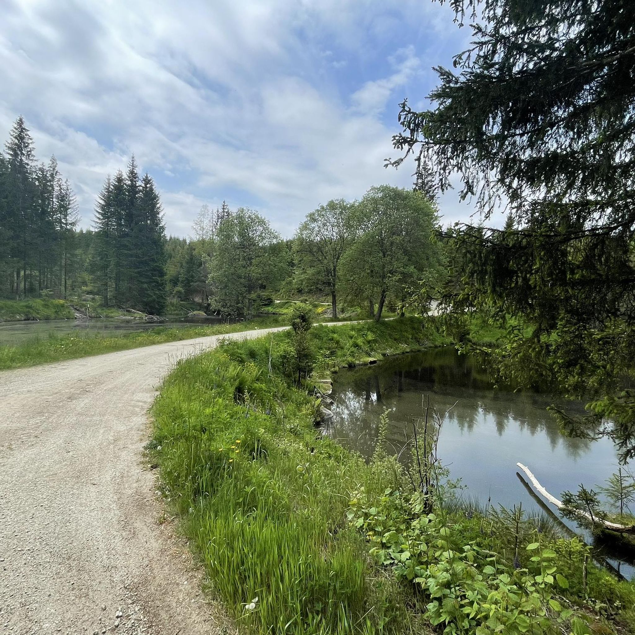
Beautiful forest section where you can make good progress.
0
0

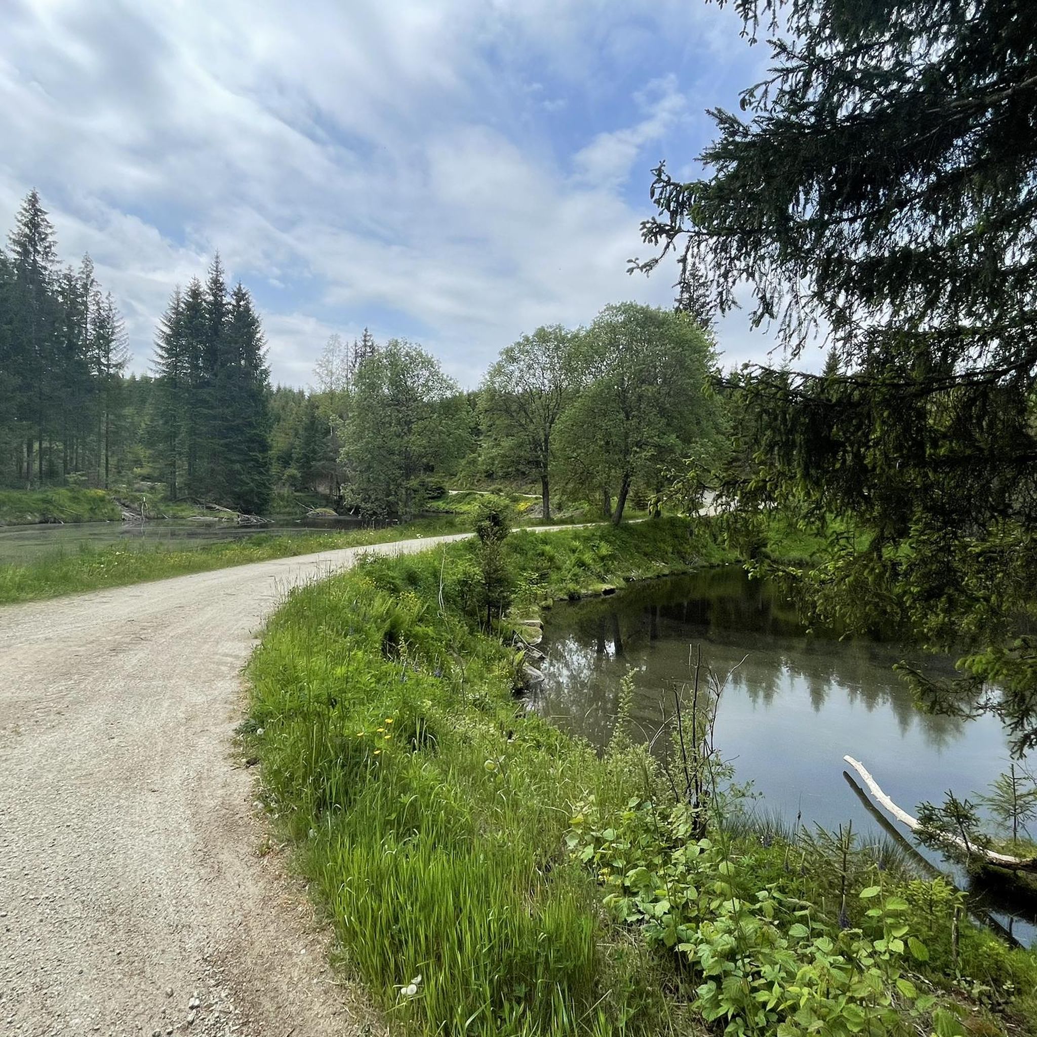
Nice little spot near Arbesbach.
1
0

Super MTB tour - around Königswiesen
0
0
Frequently Asked Questions
Is gravel biking permitted directly within the Meloner Au nature reserve?
The Meloner Au is a highly protected high moor nature reserve, recognized for its rare flora and fauna. While it's a fascinating area, direct gravel biking within the sensitive reserve itself is not explicitly promoted. The area is best explored on foot via designated hiking trails to protect its unique ecosystem.
What kind of terrain can I expect when gravel biking in the broader Waldviertel region around Meloner Au?
The wider Waldviertel region offers a diverse gravel biking experience with mixed terrain. You'll encounter a combination of paved roads, gravel paths, and natural trails, traversing forests, rolling hills, and a general 'primeval' landscape character. This variety makes it an excellent destination for adventurous gravel cyclists.
Are there any challenging gravel bike routes near Meloner Au?
Yes, the routes in this area are generally considered challenging. For example, the Rubner Pond in the Tannermoor – Rubenerteich loop from Arbesbach is a difficult 14.9-mile (23.9 km) trail exploring unique moorland surroundings. Another demanding option is the Along the Granittrail – Groß Gerungs Railway Station loop from Arbesbach, a 21.0-mile (33.8 km) path with varied terrain.
What are some notable natural features or landscapes I might see while cycling in the Waldviertel region?
Beyond the unique high moor of Meloner Au, the Waldviertel region is characterized by extensive forests, rolling hills, and picturesque river and lake scenery. You might also encounter granite rock formations, which are typical for this part of Austria, contributing to the 'primeval' feel of the landscape.
Are there any circular gravel bike routes available?
Yes, many of the gravel routes in the area are designed as loops. For instance, the The Forest Railway – Dürnbergteich loop from Schönbach is an 18.6-mile (29.9 km) trail that takes you through forested areas and past water features. Another option is the Klammer Chapel – Inn at the Black Eagle loop from St. Georgen am Walde.
What do other gravel bikers say about the routes in Meloner Au and the surrounding Waldviertel?
The routes in the Meloner Au area are highly rated by the komoot community, with an average score of 5.0 stars from a few reviews. More than 10 gravel bikers have used komoot to explore the varied terrain, often praising the mixed surfaces, forests, and rolling hills that define the experience.
When is the best season for gravel biking in the Waldviertel region?
The Waldviertel region offers good gravel biking conditions across multiple seasons. While the delicate ecosystem of Meloner Au itself has specific access times for hikers (June 20 to November 30), the broader region is generally enjoyable from spring through autumn. The varied terrain and natural beauty are particularly appealing during these months.
Are there any cultural attractions or villages to explore along gravel bike routes in the Waldviertel?
Yes, gravel bike tours in the Waldviertel often combine natural trails with cultural stops. You can expect to encounter charming villages, and potentially castles or monasteries, offering opportunities to experience regional culture and cuisine alongside your ride. The region is known for integrating these elements into its cycling experiences.
What is the typical length and duration of gravel bike routes in this area?
The gravel bike routes in the Meloner Au area vary in length, but many are substantial. For example, routes like the Forest Trail Near Hörzenschlag – Königswiesen loop from Königswiesen are around 14.6 miles (23.5 km) and can take over 2 hours to complete, while others, such as the Along the Granittrail – Groß Gerungs Railway Station loop from Arbesbach, extend to 21.0 miles (33.8 km) and can take over 2.5 hours, depending on your pace and stops.
Can I find accommodation or places to eat suitable for cyclists in the Waldviertel region?
The Waldviertel region is generally welcoming to cyclists. You can find various cafes, pubs, and accommodation options in the charming villages throughout the area, especially in towns like Altmelon or Arbesbach, which serve as good starting points for many routes. These establishments often cater to outdoor enthusiasts.
Are there options for multi-day gravel biking tours in the wider Waldviertel region?
Yes, the Waldviertel region is well-suited for multi-day gravel biking adventures. Routes like the extensive Waldviertel Cycle Route, a challenging circular tour of approximately 365 kilometers with over 4,000 meters of elevation gain, are ideal for those looking for longer, multi-day experiences across the diverse landscapes.
Most popular routes in Meloner Au

Get inspired with the komoot mobile app


Explore more
Browse the best Gravel rides in other regions.
