Attractions and Places To See around Area F (Grindrod/Ashton Creek/Mabel Lake) - Top 7
Best attractions and places to see around Area F (Grindrod/Ashton Creek/Mabel Lake) offers a diverse landscape where the Shuswap Highlands meet the Okanagan Basin. This region is characterized by serene rivers, expansive lakes, and rolling farmlands, providing a blend of natural beauty and rural charm. Visitors can explore a variety of natural features, including waterfalls and viewpoints, alongside cultural sites. The area is ideal for those seeking outdoor exploration and a quieter experience.
Best attractions and places to see around Area F (Grindrod/Ashton Creek/Mabel Lake)
- The most popular attractions is Begbie Falls, a waterfall that offers a nice and easy hike. In mid-September, salmon can be observed coming up the river to spawn.
- Another must-see spot is Margaret Falls, a waterfall. From a viewing platform at the end of the trail, visitors can take in the majesty of the 90-foot, two-step falls.
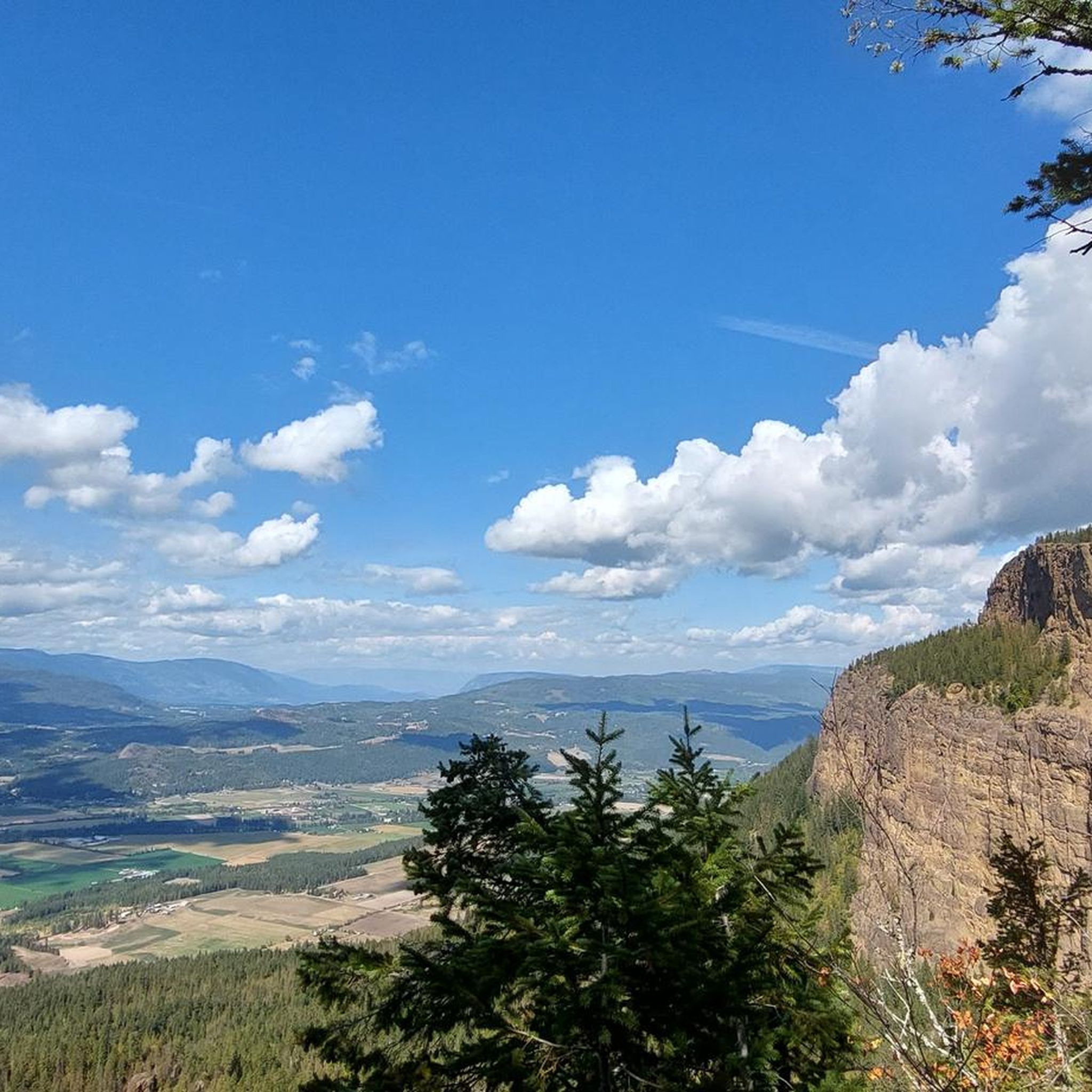
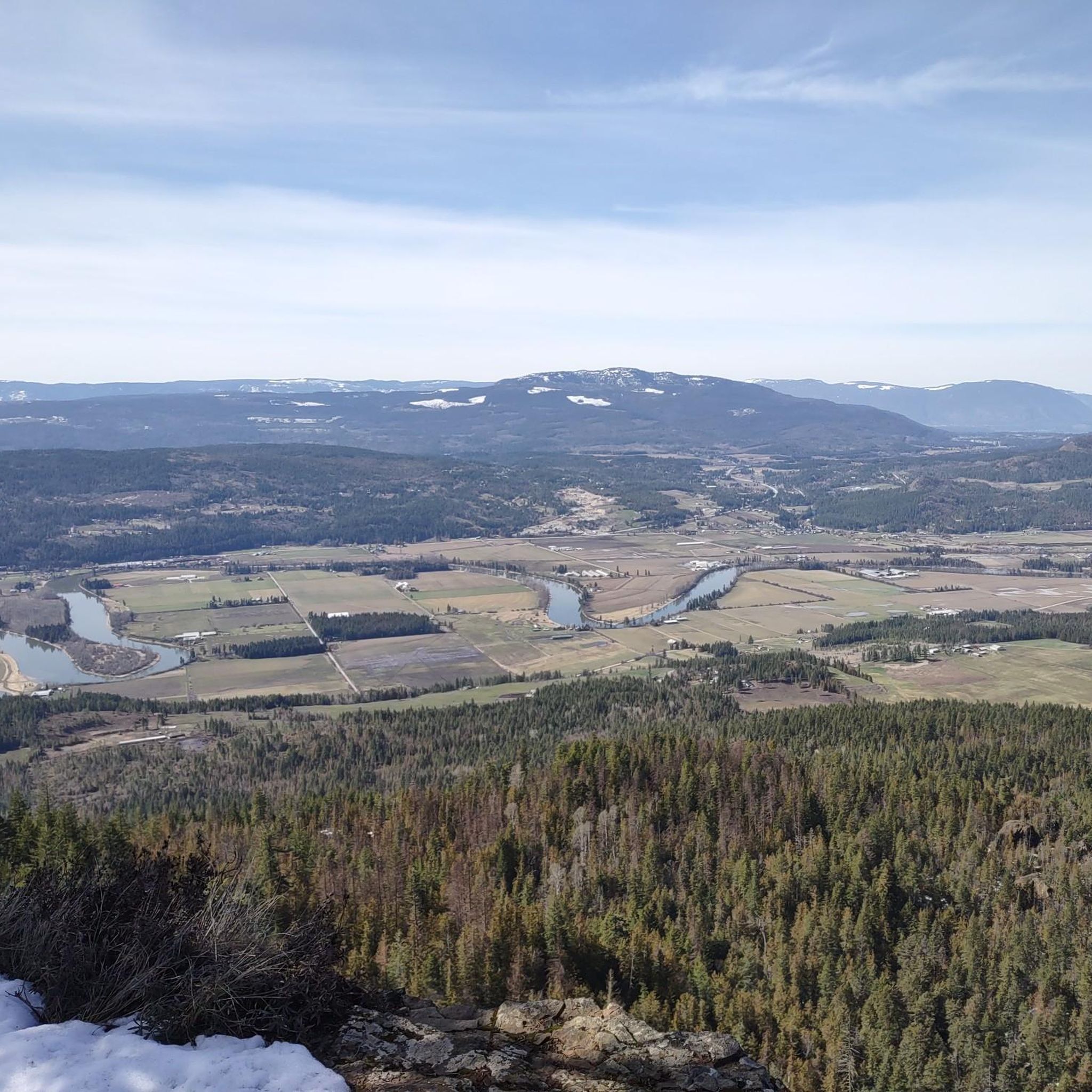
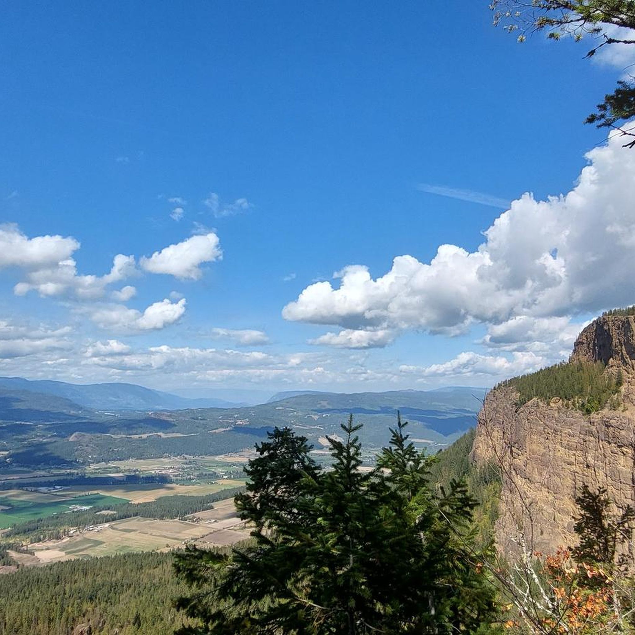
- Visitors also love Tower Lookout, a viewpoint. This spot offers panoramic views of Mount Rose Swanson, with wide vistas over rolling farmland, forested hills, and distant lakes.
- Area F (Grindrod/Ashton Creek/Mabel Lake) is known for its waterfalls, viewpoints, and natural river and lake features. The region offers a variety of attractions to see and explore, from scenic overlooks to natural water formations.
- The attractions around Area F (Grindrod/Ashton Creek/Mabel Lake) are appreciated by the komoot community, with more than 30 upvotes and over 25 photos shared across the highlights.
Last updated: August 30, 2026
Begbie Falls
Highlight • Waterfall
Tip by

Margaret Falls
Highlight • Waterfall
Tip by

Sign up now to discover places like this
Get recommendations on the best single tracks, peaks, & plenty of other exciting outdoor places.
Sign up for free
View of Columbia River
Highlight • River
Tip by

Where Reinecker Creek flows into Heralds Bay
Highlight • River
Tip by
Salmon Arm
Highlight • Lake
Translated by Google •
Tip by

Sign up for free to discover even more attractions around Area F (Grindrod/Ashton Creek/Mabel Lake).
Sign up for free
Already have an account?
Start today with a free account
Your next adventure awaits.
Login or Signup
Popular around Area F (Grindrod/Ashton Creek/Mabel Lake)
Tips from the Community

Nice waterfall. Unfortunately, lots of mosquitoes.
0
0

Here, you can see Begbie Creek run into Columbia River. The views are great, and there's even a picnic table in case you want to relax and enjoy the view a little longer. The river with Mount Cartier in the background is really postcard perfect.
1
0

From a viewing platform at the end of the trail, you can take in the majesty of the 90-foot, two-step Margaret Falls.
0
0
This spot along the trail is where Reinecker Creek flows into Heralds Bay. You're treated to sweeping views of the bay and the end of the waterway that feeds the flow of Margaret Falls.
0
0


In mid-September we were able to observe salmon coming up the river to spawn.
2
1

3+3 km return hike from Begbie Falls Recreation area parking on BC23 8 km south of Revelstoke. Nice and easy hike to pretty waterfall. Will be spectacular in spring. Lots of mosquitoes in summer.
2
0

Shuswap Lake, which has more than 250 miles of navigable shoreline, is home to several species of salmonids, including chinook salmon, coho, sockeye, rainbow trout, and lake trout. These fish are of great importance for recreational fishing in the area.
1
0
Frequently Asked Questions
What natural features can I explore in Area F?
Area F is rich in natural beauty, offering diverse landscapes where the Shuswap Highlands meet the Okanagan Basin. You can explore expansive lakes like Mabel Lake and Mara Lake, serene rivers such as the Shuswap River, and rolling farmlands. Prominent natural landmarks include the iconic Enderby Cliffs, the majestic Margaret Falls, and the unique Ashton Creek Natural Waterslides.
Are there any waterfalls to visit in the region?
Yes, Area F is home to several beautiful waterfalls. You can visit Margaret Falls, where a viewing platform allows you to admire the 90-foot, two-step falls. Another notable waterfall is Begbie Falls, which offers an easy hike and a chance to observe salmon spawning in mid-September. Additionally, the Ashton Creek Natural Waterslides provide a unique experience with smooth rock formations creating natural slides into clear mountain water pools.
Where can I find panoramic views of the area?
For breathtaking panoramic views, head to the Tower Lookout. This spot offers clear vistas of Mount Rose Swanson, rolling farmland, forested hills, and distant lakes. Another excellent location for stunning views is the Enderby Cliffs, which provide expansive perspectives of the Shuswap River, farmland, mountains, and lakes after a rewarding hike.
What kind of outdoor activities are available around Mabel Lake?
Mabel Lake is a hub for outdoor recreation. Visitors can enjoy swimming, fishing for rainbow trout, boating, canoeing, paddleboarding, and various watersports like wakeboarding and surfing. Mabel Lake Provincial Park offers sandy beaches and excellent year-round fishing opportunities. Nearby hidden lakes also provide options for camping, swimming, hiking, and fishing.
Are there family-friendly attractions or activities in Area F?
Absolutely! Many attractions in Area F are suitable for families. The Kingfisher Interpretive Centre offers a unique 'living classroom' experience where children can learn about salmon in their natural habitat. Margaret Falls is accessible via a family-friendly trail to a viewing platform. Additionally, the broad sandy beach at Mara Provincial Park is perfect for family picnics, swimming, and boating.
What cultural or historical sites can I visit in Grindrod and Ashton Creek?
Grindrod, a small farming village, embraces its agricultural heritage and hosts summer festivals. You can explore local businesses like Farmer John's Market. Ashton Creek is home to the legendary Lorenzo's Cafe and the Ashton Creek General Store. For a deeper dive into local history, the Deep Creek Tool Museum offers historical tours and workshops. The Kingfisher Interpretive Centre also provides educational insights into the region's natural and cultural heritage.
Can I go hiking near these attractions?
Yes, Area F offers numerous hiking opportunities. You can enjoy an easy hike to Begbie Falls or a rewarding climb to the Tower Lookout for panoramic views. The Enderby Cliffs also feature a challenging hiking-only trail with stunning vistas. For more options, explore the various hiking routes available in the region, including easy hikes like the Margaret Falls loop. You can find more details on hiking trails in the area on the easy hikes guide.
Are there options for cycling in Area F?
Yes, Area F provides several cycling opportunities. You can find various road cycling routes that explore the scenic landscapes, including loops around the Shuswap River and Waby Lake. For mountain biking enthusiasts, there are challenging MTB trails, such as those around Begbie Falls Rec Site. Discover more routes on the road cycling guide and the MTB trails guide.
What is special about the Shuswap River in this area?
The Shuswap River, flowing from Mabel Lake to Mara Lake, is a recreational paradise. It's popular for canoeing, kayaking, tubing, rafting, and swimming. The riverbanks are also excellent for wildlife spotting, particularly osprey and eagle nests. During the salmon season, Cooke Creek campground, located on Mabel Lake Road, is a prime spot for salmon fishing.
Where can I observe wildlife, especially salmon?
The Kingfisher Interpretive Centre, near Mabel Lake Resort, offers a first-hand experience with salmon in their habitat within a 10-acre 'living classroom.' In mid-September, you can also observe salmon coming up the river to spawn near Begbie Falls. The Shuswap River is also a great place to spot osprey and eagle nests.
What are some unique local experiences in Area F?
Beyond the natural attractions, Area F offers unique local experiences. You can visit the Kingfisher Interpretive Centre to learn about salmon, explore the agricultural roots of Grindrod, or enjoy the local charm of Lorenzo's Cafe in Ashton Creek. The region is also home to wineries like Waterside Vineyard and Winery and Baccata Ridge Winery, offering tastings amidst beautiful scenery.
When is the best time to visit Area F for outdoor activities?
The warmer months, typically late spring through early fall, are ideal for most outdoor activities in Area F. This period allows for swimming, boating, hiking, and enjoying the natural waterslides. Mid-September is particularly special for observing salmon spawning at locations like Begbie Falls. The region's diverse offerings mean there's something to enjoy across different seasons, but summer provides the widest range of options.
Are there any easy walking trails suitable for beginners?
Yes, Area F has several easy walking trails perfect for beginners or those seeking a leisurely stroll. The path to Margaret Falls is considered family-friendly and easy. You can also find easy hikes around Begbie Falls, such as the Begbie Falls – Columbia River loop. For more options, consult the easy hikes guide for the area.
Most popular routes around Area F (Grindrod/Ashton Creek/Mabel Lake)
Most popular attractions around Area F (Grindrod/Ashton Creek/Mabel Lake)

Get inspired with the komoot mobile app


Explore more
Still not found the Highlight you’re looking for? See guides of the top attractions in other regions:
