The best cycling routes in Ciales Municipio
18
riders
4
rides
Touring cycling in Ciales Municipio, located within Puerto Rico's Central Mountain Range, features a landscape of mountains, lush forests, and numerous rivers. The region is characterized by significant elevation changes and diverse natural features, including a prominent karst region. This mountainous terrain, part of the Cordillera Central, provides a scenic backdrop for various touring cycling routes.
Best touring cycling routes in Ciales Municipio
- The most popular touring cycling route is Los Tobos Beach loop from Coto Norte, a 12.1…
Last updated: July 2, 2026
5
riders
19.5km
01:11
90m
90m
The Los Tobos Beach loop from Coto Norte offers a relaxed touring cycling experience, perfect for a quick and easy outing. This route covers 12.1 miles (19.5 km) with a…
6
riders
87.4km
05:12
600m
600m
Hard bike ride. Very good fitness required. Mostly paved surfaces. Suitable for all skill levels.

Sign up for free
2
riders
36.8km
02:18
410m
410m
Moderate bike ride. Good fitness required. Mostly paved surfaces. Suitable for all skill levels.
2
riders
36.4km
02:58
1,140m
1,140m
Hard bike ride. Very good fitness required. Mostly paved surfaces. Suitable for all skill levels.
Our route recommendations are based on thousands of hikes, rides, and runs completed by other people on komoot.
Start today with a free account
Your next adventure awaits.
Login or Signup
Popular around Ciales Municipio
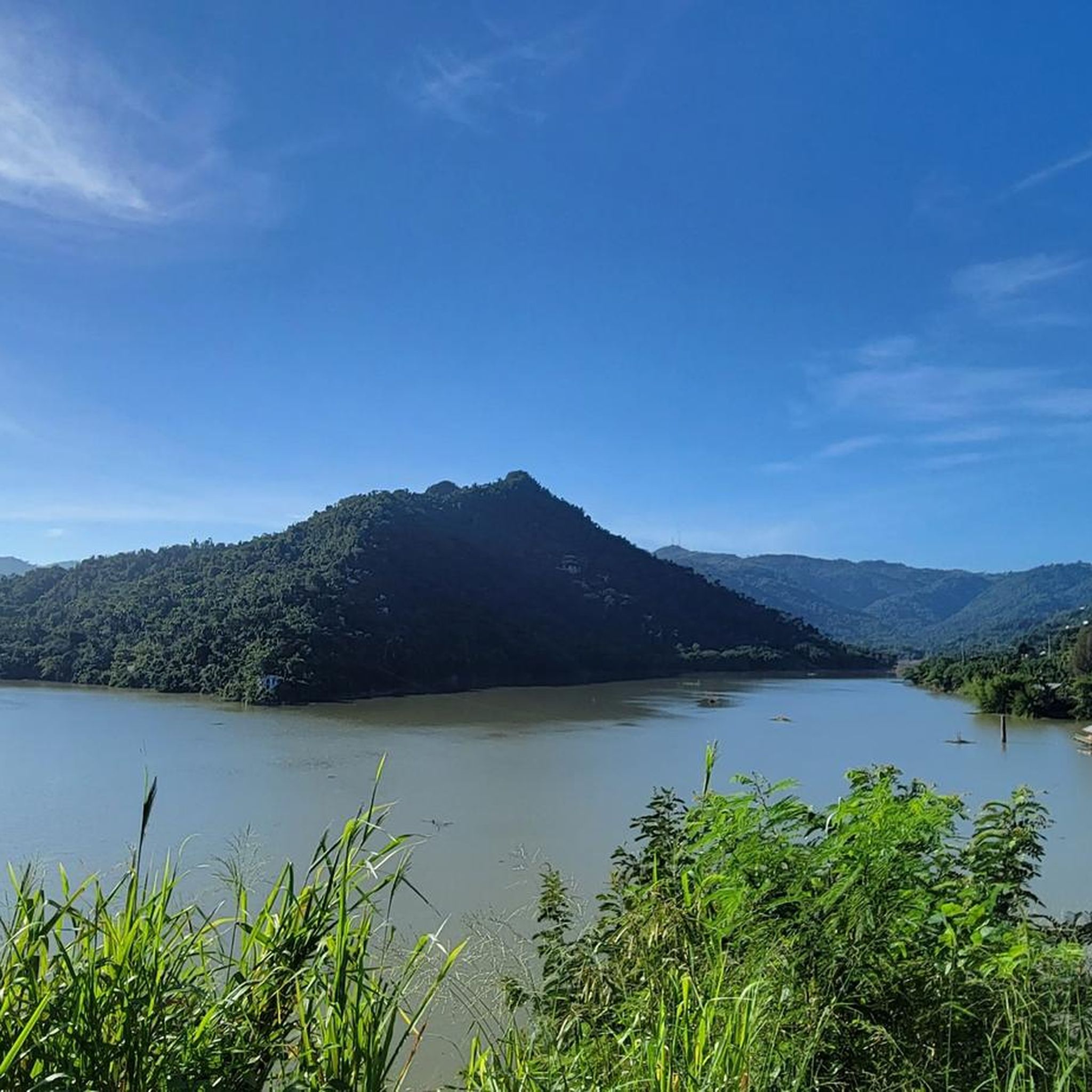
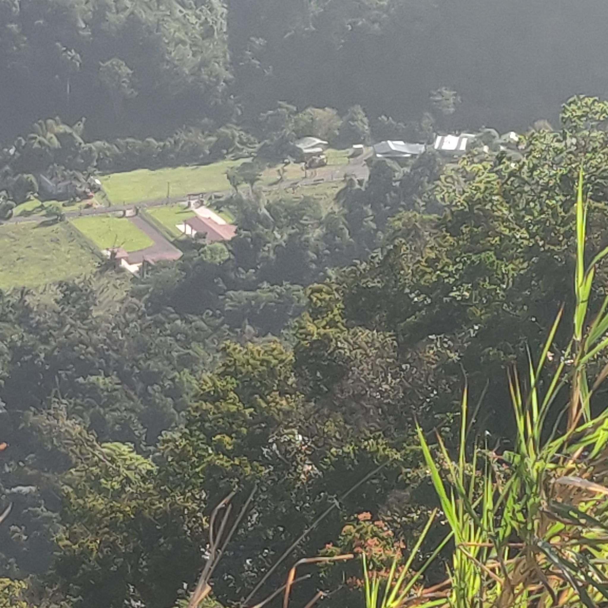
Tips from the Community

Area to practice recreational fishing, kayaking or MTB. It has gazebos for lunch, but they are pretty unworthy so use them at your own risk.
0
0

The lagoon covers an area of approximately 2.43 km2 and contains a total volume of water of 708 million gallons. It is made up of two segments: Laguna Tortuguero, which includes the northeastern swamp known as Cabo Caribe, and Laguna Rica. Its prevailing depth is between four to five feet. The most important hydrological consideration is the relationship between the Lagoon and its main water sources; groundwater from aquifers and water that runs through surface river discharges during rains.
0
0
Frequently Asked Questions
What kind of terrain can I expect when touring cycling in Ciales Municipio?
Ciales Municipio is characterized by its mountainous topography, being nestled in Puerto Rico's Central Mountain Range. You can expect routes with significant elevation changes and challenging ascents, offering dramatic views. While many routes feature well-paved surfaces, some segments may be unpaved and difficult, requiring good to very good fitness.
Are there any easy touring cycling routes suitable for beginners in Ciales Municipio?
Yes, there is at least one easy route perfect for beginners. The Los Tobos Beach loop from Coto Norte is a 12.1-mile (19.5 km) trail with minimal elevation gain, making it an accessible option for those new to touring cycling or looking for a relaxed ride.
Where can I find challenging touring cycling routes in Ciales Municipio?
For experienced touring cyclists seeking a challenge, Ciales Municipio offers several difficult routes. The Mirador Villalba Orocovis loop from Villalba, for example, is a demanding 36.4-kilometer (22.6-mile) route with over 1,100 meters of elevation gain. Another option is the Bike loop from Bosque de Pterocarpus de Dorado, which covers 85 kilometers (52.8 miles) with significant climbing.
What natural features can I see along the cycling routes in Ciales Municipio?
Ciales Municipio is rich in natural beauty. Cycling routes often pass through lush forests, such as the Toro Negro State Forest, and alongside several rivers like the Río Grande de Manatí. You might also encounter stunning mountain vistas and, in some areas, be near famous waterfalls like Las Delicias and La Escalera, though these may require a short hike off the bike path.
Are there any circular touring cycling routes in Ciales Municipio?
Yes, many of the touring cycling routes in Ciales Municipio are designed as loops, allowing you to start and end at the same point. Examples include the easy Los Tobos Beach loop from Coto Norte and the more challenging Bosque Estatal de Cambalache loop from Arecibo.
What is the best time of year for touring cycling in Ciales Municipio?
The best time for touring cycling in Ciales Municipio generally avoids the peak rainy season, which typically runs from May to November. The cooler, drier months, usually from December to April, offer more comfortable temperatures and less chance of rain, making for more enjoyable rides. However, the region's tropical climate means rain can occur year-round.
Are there any family-friendly cycling options in Ciales Municipio?
While many routes in Ciales Municipio feature challenging terrain, the Los Tobos Beach loop from Coto Norte is an easy route with minimal elevation, making it a good option for families looking for a less strenuous ride. Additionally, the Paseo Lineal Juan Antonio Corretjer offers a recreational space suitable for biking and walking along the Río Grande de Manatí.
What cultural attractions or points of interest are near the cycling routes?
Beyond the natural landscapes, Ciales offers cultural insights. The region is known for its coffee production, and some routes may pass near coffee plantations offering tours. The charming town square provides a glimpse into local life, and the Museo del Café (Coffee Museum) offers insights into the island's coffee history.
Is there public transportation available to reach cycling routes in Ciales Municipio?
Public transportation options directly to the starting points of specific cycling routes in Ciales Municipio can be limited. It is often more convenient to travel by car, especially if you are bringing your own bicycle. Some local services might connect to the main town, but reaching trailheads typically requires private transport.
Where can I find parking for cycling routes in Ciales Municipio?
Parking availability varies by route. For routes starting in or near towns, you may find public parking areas. For example, if starting a route like the Bike loop from WBQN, look for parking in nearby residential or commercial areas. It's advisable to check specific starting points for designated parking or safe street parking options.
What is the longest touring cycling route available in Ciales Municipio?
Among the routes listed, the Bosque Estatal de Cambalache loop from Arecibo is one of the longest, spanning approximately 89 kilometers (55.3 miles). This route offers an extensive ride through forested areas and is typically completed in about 5 hours and 33 minutes.
Are there any routes that offer coastal views or beach access?
Yes, some routes, while starting inland or near the municipality, extend towards the coast. The Los Tobos Beach loop from Vega Baja is a 56-kilometer (34.8-mile) route that provides access to coastal areas and beach views, offering a different landscape from the mountainous interior of Ciales.
Most popular routes in Ciales Municipio

Get inspired with the komoot mobile app


Explore more
Browse the best Cycling routes in other regions.
