The 6 Most Amazing Peaks around Großheirath
Best mountain peaks around Großheirath are found in the surrounding region of this municipality in Bavaria, Germany. Großheirath itself is situated at an elevation of approximately 270 to 303 meters above sea level, without prominent mountain peaks directly within its boundaries. However, the area offers several elevated points and hills that provide scenic views and opportunities for outdoor activities. These locations contribute to the natural landscape of the Coburg district.
Best mountain peaks around Großheirath
- The most popular mountain peaks…
Last updated: June 24, 2026
Staffelberg
Highlight • Viewpoint
Translated by Google •
Tip by

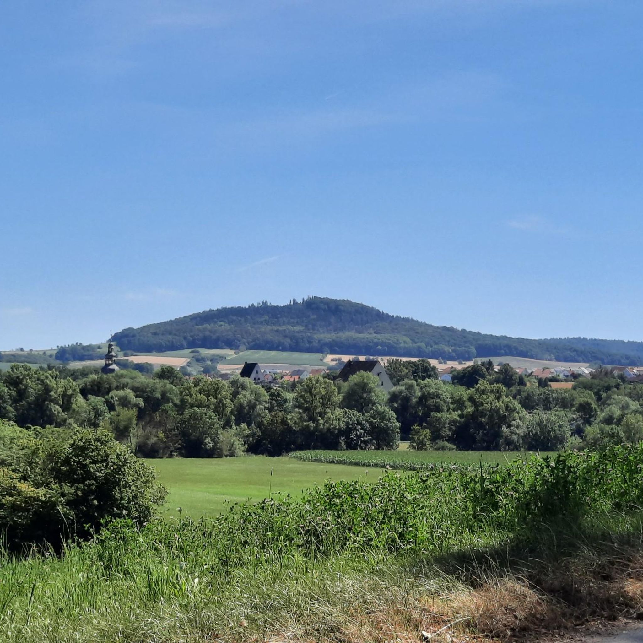
View of the Staffelberg and the Adelgundis Chapel
Highlight • Viewpoint
Translated by Google •
Tip by

Sign up now to discover places like this
Get recommendations on the best single tracks, peaks, & plenty of other exciting outdoor places.
Sign up for free
Spitzberg (517 m)
Highlight • Summit
Especially not so crowded ☺
Translated by Google •
Tip by

Hohe Asslitz Summit
Highlight • Summit
Translated by Google •
Tip by

Kulch Summit and Ring Wall (483 m)
Highlight • Summit
Translated by Google •
Tip by
Sign up for free to discover even more peaks around Großheirath.
Sign up for free
Already have an account?
Start today with a free account
Your next adventure awaits.
Login or Signup
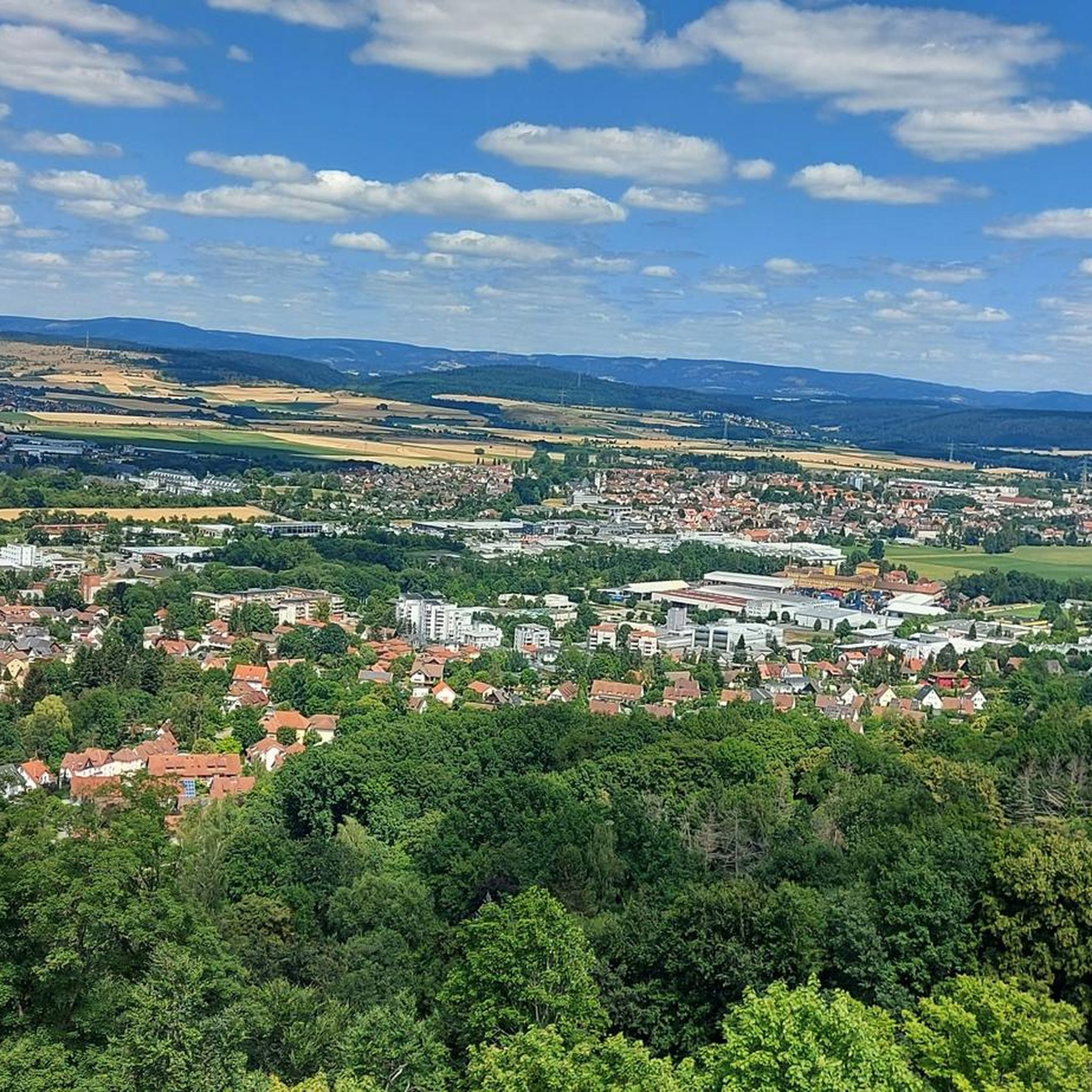
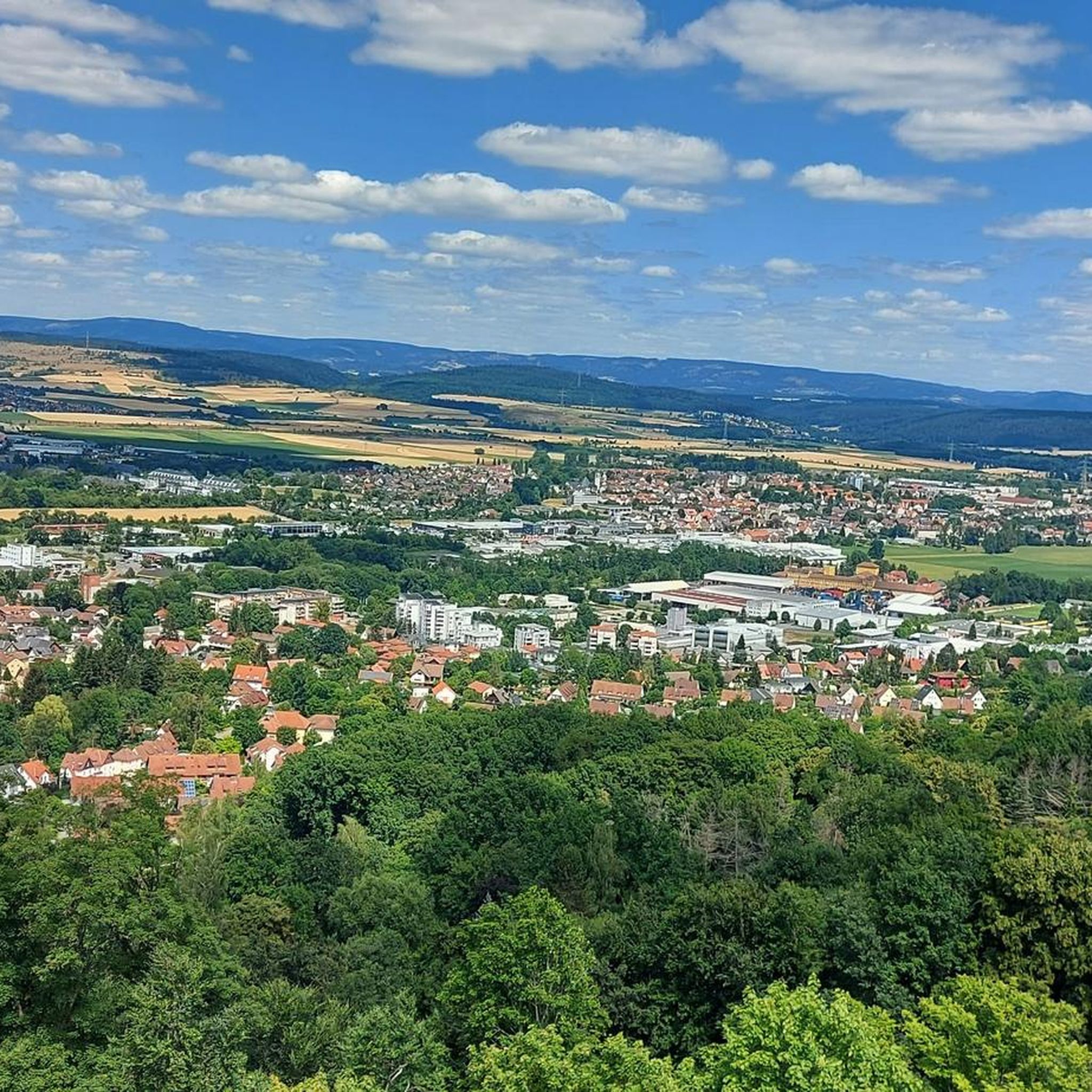
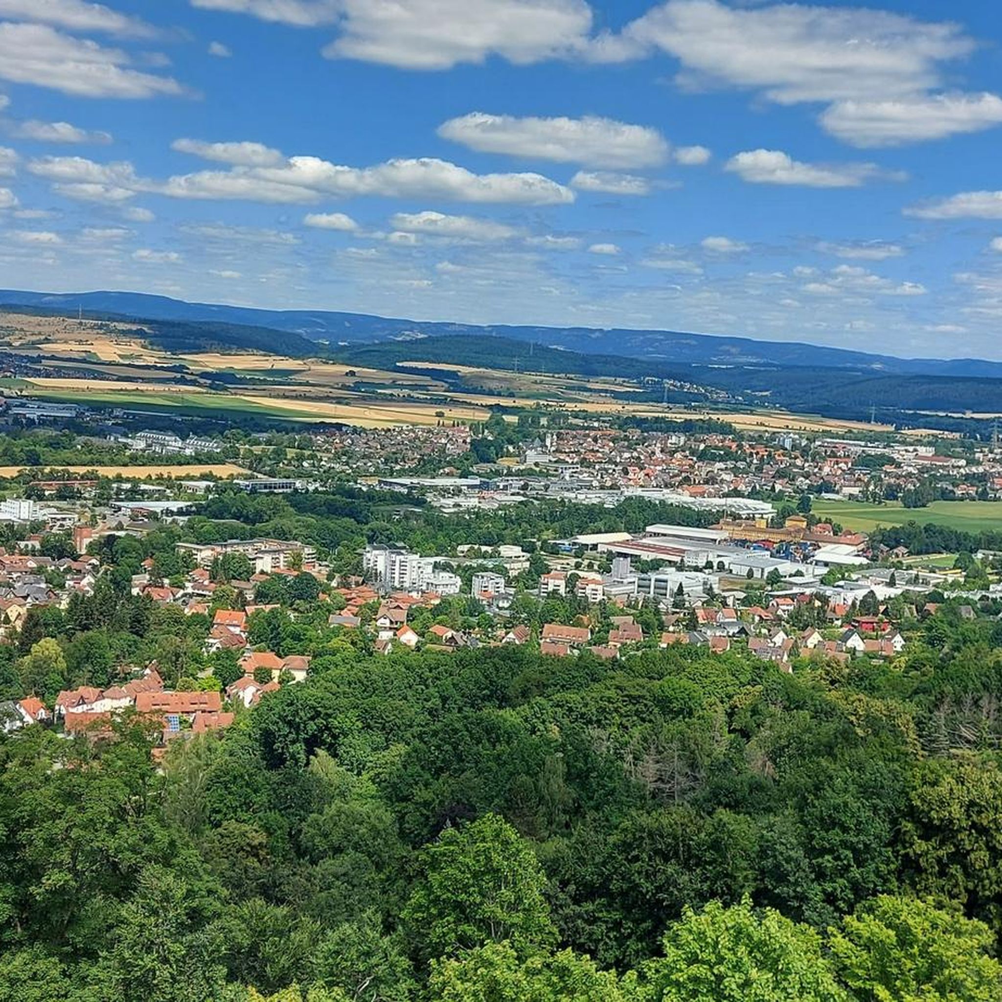
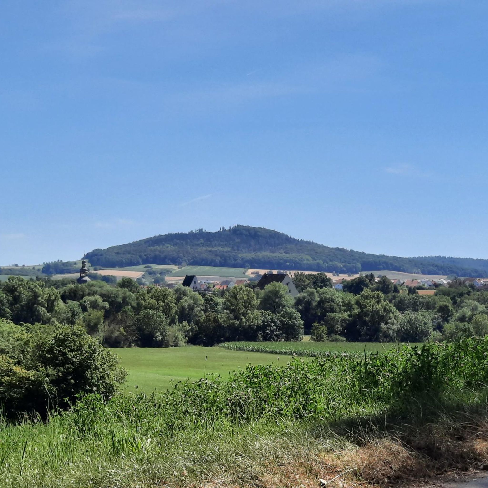

Tips from the Community

There are many signposted hiking trails on and around the Staffelberg.
0
0

Always a beautiful destination! With information board, bench and table, summit cross and summit book. Only the view is slowly getting darker.
4
1

The view of the Main Valley and the Staffelberg has now become overgrown again.
2
0

Small hill with a summit cross and a little book to immortalize.
4
1
With a lot of imagination you can imagine the system at that time.
3
0

The small detour to Spitzberg is highly recommended. You have a wonderful view here, which you can enjoy on a bench.
7
0

Always worth a trip
4
2

A lot has already been said and written about Spitsbergen. This survey lives up to its name. Good shoes are strongly recommended for those who hike up and down this short path. Brisk walks in summer conditions are also possible with well-fitting "sneakers". But any ankle injured with ligament damage recommend high shoes and then ideally stepping on sideways. It can also get pretty muddy in wintry conditions. In the worst case ... the nearest orthopedic is in Lichtenfels ;-) And the seating area with a view "of the vast country" in front of the massive bushes has something "archaically majestic". However, the table shows clear "dissolution phenomena".
6
0
Frequently Asked Questions
What are some popular mountain peaks to visit near Großheirath?
While Großheirath itself is not mountainous, the surrounding region offers several notable elevated points. Popular choices include Staffelberg, known for its expansive views, and Spitzberg (517 m), which provides beautiful vistas of Staffelberg and the surrounding landscape. Another option is Hohe Asslitz Summit, situated within a large forest area.
Where can I find the best panoramic views of the region around Großheirath?
For expansive panoramic views, Staffelberg is highly recommended, offering vistas over the Bad Staffelstein and Lichtenfels areas. Spitzberg (517 m) also provides clear views from east to west, including the Staffelberg. Additionally, the Alexandrinen Hut on Sennigshöhe (523 meters) is known as the highest beer garden in the Coburg region and offers good views due to its elevation.
Are there any mountain peaks near Großheirath with historical significance?
Yes, the region features several spots with historical context. The Kulch Summit and Ring Wall (483 m) is a wooded hilltop with remnants of an ancient ring wall, suggesting a larger historical facility. Another point of interest is the View of the Staffelberg and the Adelgundis Chapel, which combines scenic beauty with historical and religious elements.
Are there family-friendly mountain peaks or hikes around Großheirath?
Yes, Spitzberg (517 m) is categorized as family-friendly, offering beautiful views in a less crowded setting. For general hiking, you can explore easy routes listed in the Hiking around Großheirath guide, such as the 'Watzendorf Madonna – Shelter Near Gerichtsplatz loop from Watzendorf' or 'Flöterich Sculpture – Mühlberg Girl Statue loop from Großheirath'.
What kind of hiking trails are available near the mountain peaks around Großheirath?
The area around Großheirath offers a variety of hiking trails. You can find easy loops like the 'Watzendorf Madonna – Shelter Near Gerichtsplatz loop' (5.5 km) or moderate options such as the 'Tithe and Hunting Stone from 1803 – Teufelsstein Sculpture loop' (8.1 km). For more details and routes, refer to the Hiking around Großheirath guide.
Can I find places to eat or rest near the mountain peaks?
Yes, several spots offer refreshments and rest. Staffelberg features a small hospitality hut with ample outdoor seating. The Alexandrinen Hut on Sennigshöhe is also a popular rest stop for hikers and is known as the highest beer garden in the Coburg region.
What makes Spitzberg a unique mountain peak to visit?
Spitzberg (517 m) is unique for its beautiful, less crowded views of the Staffelberg and the surrounding landscape. Geologically, it's part of an iron mountain limestone witness mountain landscape, composed of 40 meters of thick iron sandstone, historically valued as silver sand. It offers a peaceful experience with clear views from east to west.
What is the Hohe Asslitz Summit known for?
The Hohe Asslitz Summit is a hill reaching 378 meters, situated within a large forest area between the Coburg Land and the Obermaintal. While views were once obstructed by trees, recent thinning has reopened vistas towards the Obermaintal, Staffelberg, and Veste Coburg, making it a pleasantly quiet local recreation area.
Are there any mountain biking opportunities near Großheirath's peaks?
Yes, the region offers mountain biking trails. You can find routes like the 'Trail to Kloster Banz – Banz Abbey loop' (29.5 km, moderate) or the 'Kiebitz Cycle Path – Ketschendorf Castle loop' (23.4 km, easy). Explore more options in the MTB Trails around Großheirath guide.
What geological features are notable among the peaks near Großheirath?
The region is characterized by interesting geological formations. Spitzberg (517 m) and Kulch Summit and Ring Wall (483 m) are part of an iron mountain limestone witness mountain landscape, rising above the Alb foreland. These mountains are constructed of thick iron sandstone, which was historically used as silver sand.
What do visitors enjoy most about the mountain peaks around Großheirath?
Visitors particularly appreciate the stunning views, especially from Staffelberg and Spitzberg (517 m). The opportunity to hike through beautiful natural landscapes, discover historical sites like the Kulch Ring Wall, and enjoy refreshments at places like the Alexandrinen Hut on Sennigshöhe are also highly valued experiences.
Are there challenging mountain routes available for experienced hikers?
While many trails are accessible, some routes offer more challenge. The ascent to Spitzberg (517 m), for instance, can involve steep and unpaved paths requiring surefootedness. For running, there are difficult routes like the 'Banz Forest Climbing Park – View of Kloster Banz loop' (16.3 km) in the Running Trails around Großheirath guide.
Most popular routes around Großheirath
Most popular attractions around Großheirath

Get inspired with the komoot mobile app


Explore more
See even more amazing summits around Großheirath with these guides:
