The best waterfall hikes and walks around St Veit an der Glan
4.6
(2408)
15,940
hikers
13
hikes
Waterfall hiking trails around St Veit an der Glan are set within a landscape characterized by rolling hills, dense woodlands, and river valleys. This region in Carinthia, Austria, offers a natural environment where streams and rivers carve through the terrain, creating numerous cascades. The varied topography provides a range of hiking experiences, from gentle paths alongside water features to more challenging ascents through forested areas.
Best waterfall hiking trails around St Veit an der Glan
- The most popular waterfall hiking…
Last updated: October 14, 2026
4.7
(30)
178
hikers
8.93km
03:03
320m
320m
Moderate hike. Good fitness required. Mostly accessible paths. Sure-footedness required.
4.9
(22)
101
hikers
6.28km
02:00
220m
220m
Moderate hike. Good fitness required. Mostly accessible paths. Sure-footedness required.

4.6
(14)
64
hikers
9.03km
02:56
290m
290m
Moderate hike. Good fitness required. Mostly accessible paths. Sure-footedness required.
4.9
(66)
256
hikers
8.32km
02:58
310m
310m
Moderate hike. Good fitness required. Mostly accessible paths. Sure-footedness required.
4.0
(3)
21
hikers
3.99km
01:23
150m
150m
Moderate hike. Great for any fitness level. Mostly accessible paths. Sure-footedness required.
Get access to more routes and recommendations from other explorers.
Already have an account?
Our route recommendations are based on thousands of hikes, rides, and runs completed by other people on komoot.
Start today with a free account
Your next adventure awaits.
Popular around Sankt Veit an der Glan
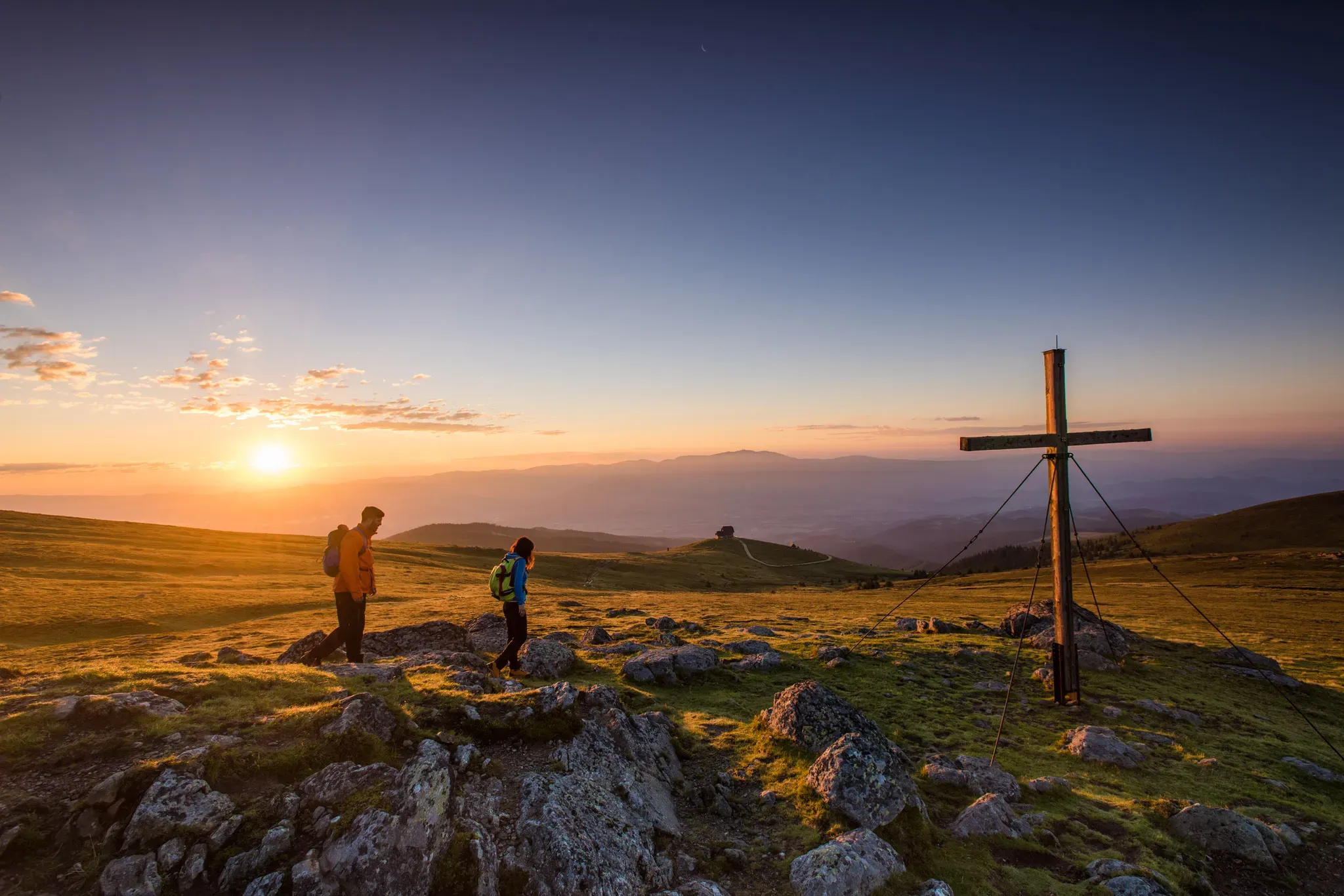
Sweeping Views, Guaranteed: Scenic Tours in Central Carinthia
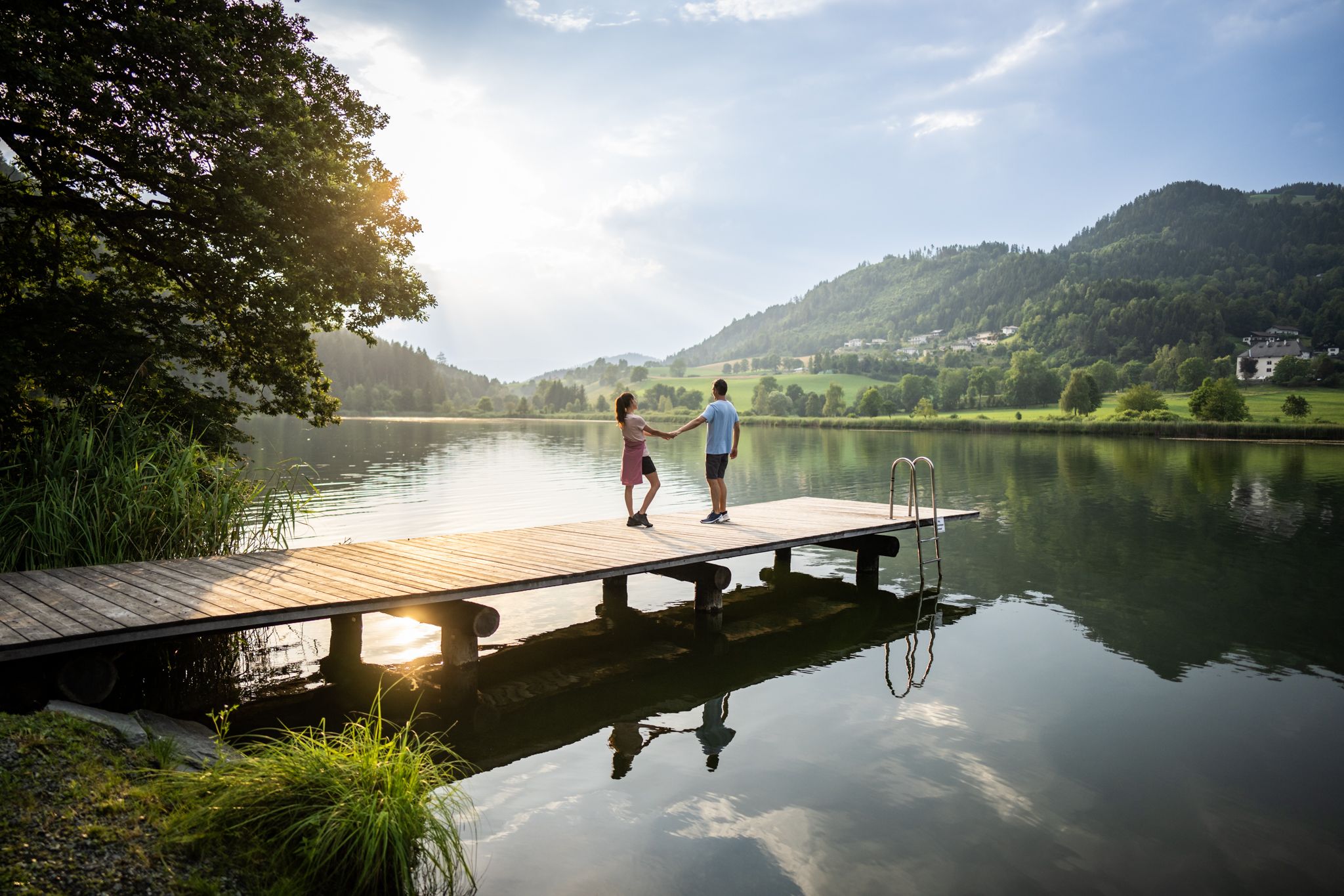
Refreshing Trails – hiking trails on the water in Central Carinthia
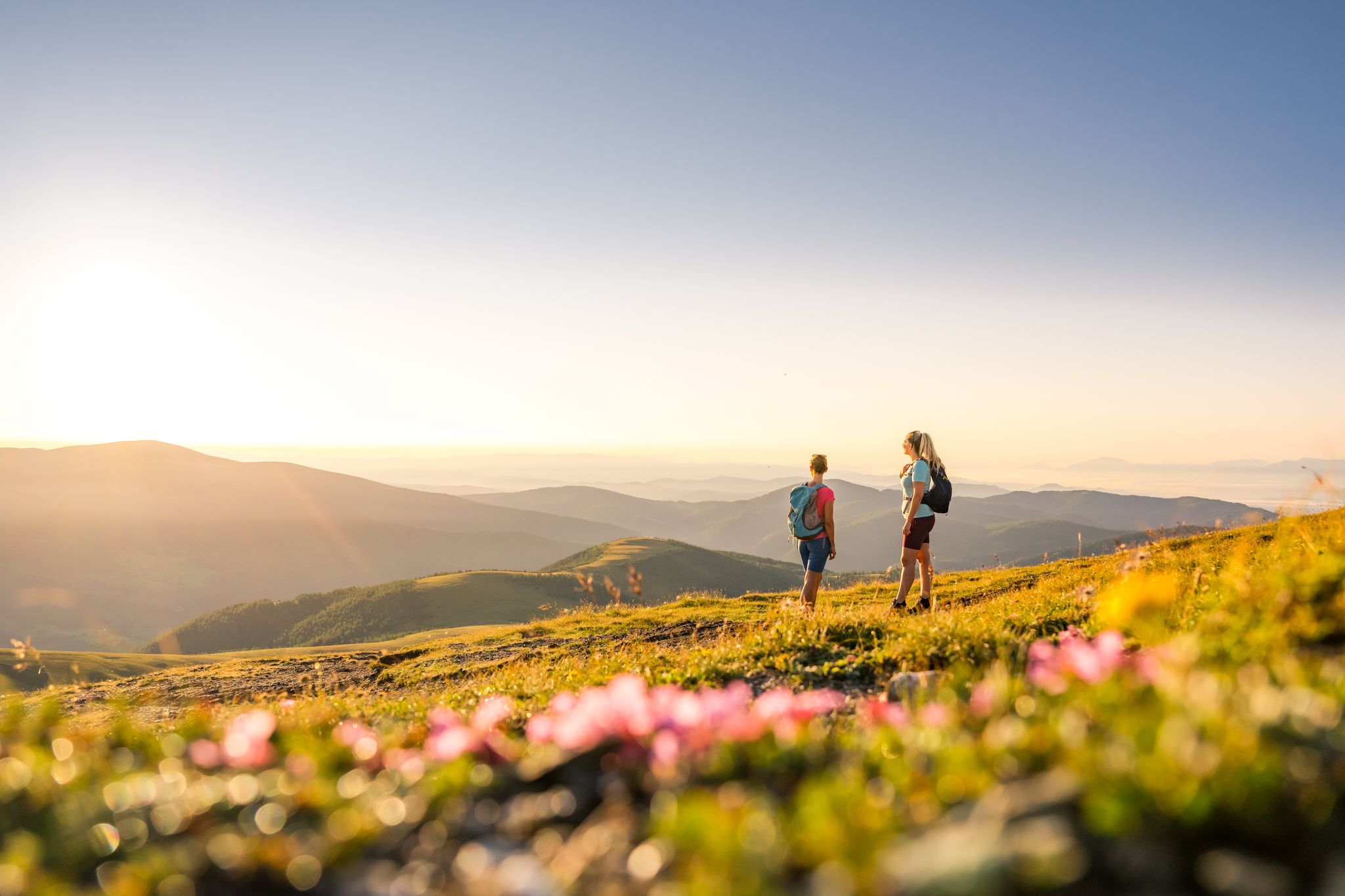
Spectacular and historic – long-distance hiking in Carinthia
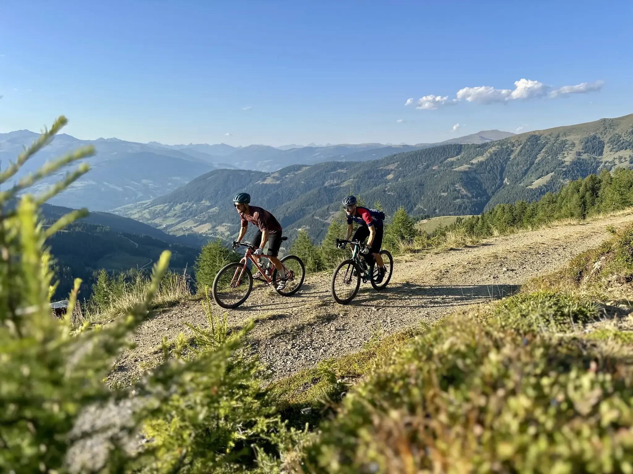
Five Rides Through Gravel Carinthia – Exploring the Nockberge, the Karawanken and Turquoise-Blue Lakes on a Gravel Bike
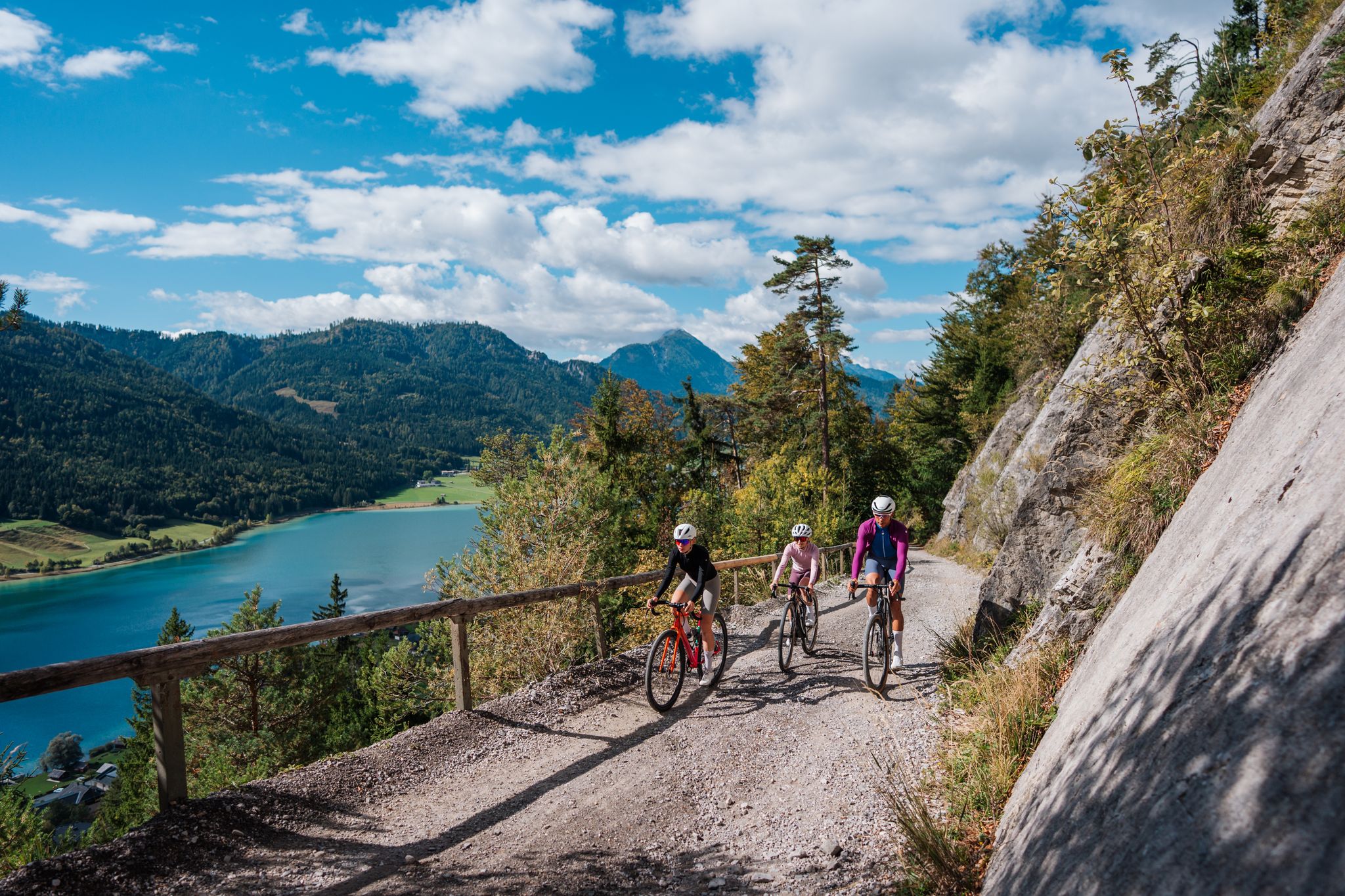
Gravel Carinthia
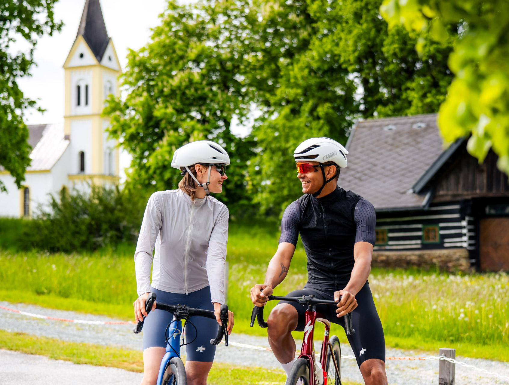
Gravel riding to happiness – gravel action in Central Carinthia
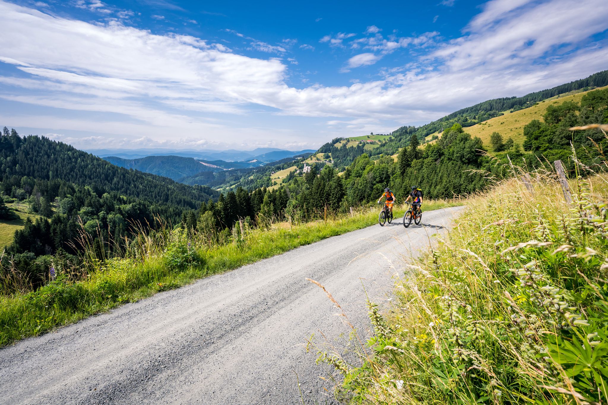
Superb road cycling experiences in Central Carinthia
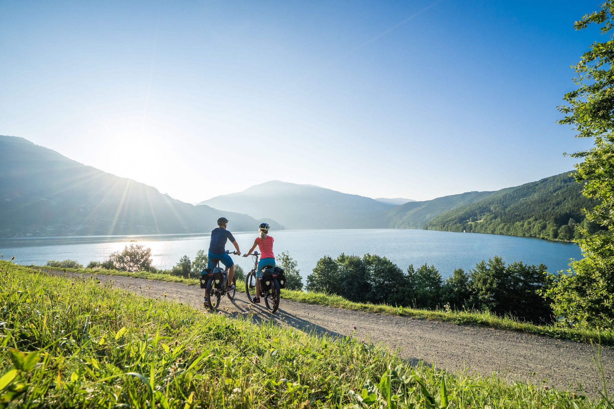
Cycle in the sunny south of Austria – Carinthia Lakes Loop
As we wrote history – the Transcontinental Race #TCRN06
Other adventures around St Veit an der Glan


Tips from the Community

The castle ruins were leased in 2020 by an entrepreneur from Liebensfels. The ruins, which were completely overgrown at the time, were extensively restored, renovated, and modernized. Among other things, a circular path with signs and info boards was designed, and a "Sky walk" provides a modern touch. You can tell everywhere that detailed work was done here and that "visitor-friendliness" and added value were and are given special importance. Verdict: absolutely worth seeing! https://de.wikipedia.org/wiki/Burg_Liebenfels_(K%C3%A4rnten)
1
0

Not recommended for toddlers. There were many families with small children out today. I think this is because so many people say it's a family hiking trail. We see it differently. I think the path is quite arduous for such little legs and sometimes steep and slippery, and nothing to hold onto.
0
0

Very well done by the water and along the rocks.
0
0
Great tour. There is a lot to see and experience for young and old. Clear recommendations.
0
0
Great bike but unfortunately currently broken.
0
0
Great bridge with a great view of the gorge.
0
0

Watching hydroelectric power is soothing.
0
0
Almost arrived at the Sörger entrance to the waterfall, this wonderful view of Sörg opens up.
0
0
Frequently Asked Questions
How many waterfall hiking trails are available around St Veit an der Glan?
There are 13 dedicated waterfall hiking trails around St Veit an der Glan listed on komoot, offering a variety of experiences for different skill levels.
Are there easy waterfall hikes suitable for beginners or families?
Yes, while most trails are moderate, there is at least one easy waterfall hike available. For families, routes like the Sörger Waterfall – Habernig Mill Ruins loop from Burgruine Liebenfels, which is shorter at 4.9 km, can be a good option. Always check the route details for elevation and terrain to ensure it suits your group.
What is the typical duration for a waterfall hike in this region?
The duration of waterfall hikes around St Veit an der Glan varies. Shorter routes, such as the Habernig Mill Ruins – Sörger Waterfall loop from Burgruine Liebenfels (6.3 km), can take around 2 hours. Longer, moderate trails like the Mill Ruins – Sörger Waterfall loop from Burgruine Liebenfels (8.9 km) might take closer to 3 hours or more, depending on your pace and stops.
Are the waterfall hiking trails around St Veit an der Glan circular?
Many of the popular waterfall trails in the region are designed as circular routes, allowing you to start and end at the same point. Examples include the Sörger Waterfall – Waterfall Trail loop from Burgruine Liebenfels and the Waterfall Trail – Sörger Waterfall loop from Liebenfels, which offer varied scenery without retracing your steps.
When is the best time of year to visit the waterfalls near St Veit an der Glan?
The waterfalls are particularly impressive during spring and early summer when snowmelt and rainfall ensure a strong flow. Autumn also offers beautiful scenery with vibrant foliage. While accessible year-round, winter conditions can make trails icy and require appropriate gear.
What should I wear or bring for a waterfall hike?
It's advisable to wear sturdy, waterproof hiking boots as trails near waterfalls can be wet and slippery. Layered clothing is recommended, as temperatures can vary, and a waterproof jacket is useful for spray. Don't forget water, snacks, and a camera to capture the scenic views.
What do other hikers enjoy most about the waterfall trails in Sankt Veit an der Glan?
The area is highly rated by the komoot community, with an average score of 4.7 stars from over 550 reviews. Reviewers often praise the combination of natural beauty, the refreshing presence of the waterfalls, and the well-maintained paths that lead through forested hills and past historical mill ruins.
Are there any interesting landmarks or attractions near the waterfall trails?
Yes, the region offers a blend of natural beauty and cultural interest. You might encounter historical mill ruins along some routes. Other nearby attractions include the Fuchspalast Art Hotel St. Veit, the Main Square and Fountain of St. Veit an der Glan, and the serene Hörzendorfer See, offering additional exploration opportunities after your hike.
Can I bring my dog on the waterfall hiking trails?
Many trails in the St Veit an der Glan region are dog-friendly, but it's always best to check specific route details and local regulations. Ensure your dog is on a leash, especially near wildlife or other hikers, and carry waste bags. Some sections might involve stairs or uneven terrain, so consider your dog's capabilities.
Are there opportunities for wild swimming near the waterfalls?
While the waterfalls themselves are beautiful to observe, direct swimming in the immediate vicinity of the cascades is generally not recommended due to strong currents, cold water, and slippery rocks. However, the region features natural bodies of water like the Hörzendorfer See, which may offer designated swimming areas nearby.
Where can I find parking for the waterfall hikes?
Many popular starting points for waterfall hikes, such as those originating near Burgruine Liebenfels, typically have designated parking areas. It's advisable to check the specific route description on komoot for details on parking facilities at the trailhead you plan to use.
Most popular routes around St Veit an der Glan
Most popular attractions around St Veit an der Glan

Get inspired with the komoot mobile app


Explore more
Browse the best Hikes in other regions.
