The best walks and hikes in Vedungsfjällen
4.4
(41)
232
hikers
12
hikes
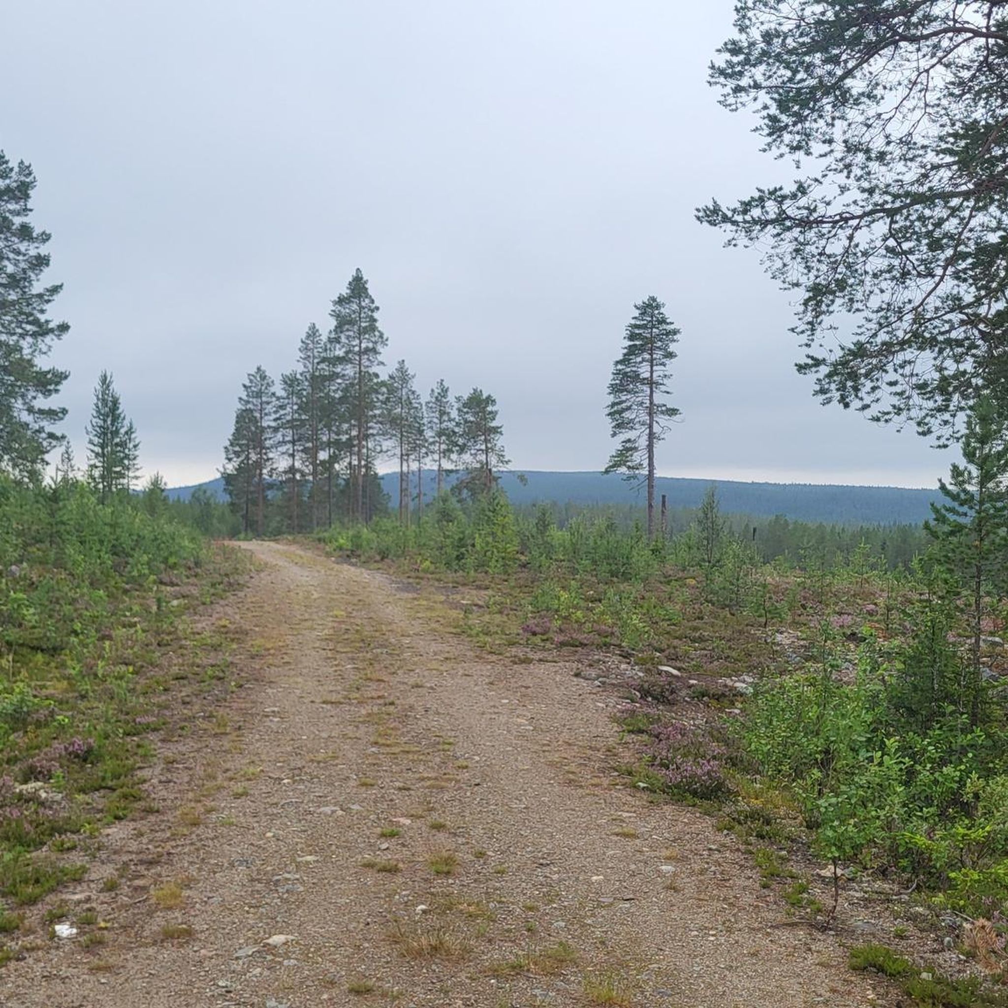
Hiking in Vedungsfjällen offers diverse trails across a unique low-mountain environment situated between Dalarna and Jämtland counties. The region features gently rounded mountain peaks, including Sömlinghågna, Dalarna's second-highest mountain at 1195 meters. Hikers can explore varied terrains, from sparse heath forests and drier rice marshes in the valleys to areas with distinctive palsmyr frost phenomena. Notable natural features include the Yxningåfallen waterfall, where the Yxningaån river drops 50 meters over 300 meters.
Best hiking trails in Vedungsfjällen
- The most popular hiking route is Yxingåfallet Waterfall – Yxningåfallen loop from Särna, a 3.6 miles (5.8 km) trail that takes 1 hour 37 minutes to complete. This easy route leads to the picturesque Yxningåfallen waterfall, also known as Brudslöjan.
- Another top favourite among local hikers is Hjärtat Shelter – View of Mountain Bike Trails loop from Lofsdalen, a moderate 5.7 miles (9.3 km) path. This trail offers views of the surrounding landscape and leads to a shelter, providing a good mid-range challenge.
- Local hikers also love the View of the Swedish Mountains – Warming Cabin loop from Lofsdalen, a 12.7 miles (20.4 km) trail leading through varied mountain terrain, often completed in about 5 hours 57 minutes.
- Hiking in Vedungsfjällen is defined by rounded mountain peaks, cascading waterfalls, and unique palsmyr formations. The network offers options for different ability levels, from easy paths to more challenging routes.
- The routes in Vedungsfjällen are highly rated by the komoot community with an average score of 4.5 stars from over 30 reviews. More than 200 hikers have used komoot to explore Vedungsfjällen's varied terrain.
Last updated: July 4, 2026
5.0
(5)
20
hikers
5.78km
01:37
120m
120m
Easy hike. Great for any fitness level. Easily-accessible paths. Suitable for all skill levels.
2
hikers
13.0km
03:26
110m
110m
Moderate hike. Good fitness required. Easily-accessible paths. Suitable for all skill levels.

Sign up for free
5.0
(3)
11
hikers
20.4km
05:58
550m
550m
Hard hike. Very good fitness required. Easily-accessible paths. Suitable for all skill levels.
3
hikers
9.26km
02:56
350m
350m
Moderate hike. Good fitness required. Easily-accessible paths. Suitable for all skill levels.
5.0
(2)
2
hikers
17.9km
05:21
560m
560m
Hard hike. Very good fitness required. Easily-accessible paths. Suitable for all skill levels.
Get access to more routes and recommendations from other explorers.
Sign up for free
Already have an account?
Our route recommendations are based on thousands of hikes, rides, and runs completed by other people on komoot.
Start today with a free account
Your next adventure awaits.
Login or Signup
Popular around Vedungsfjällen
Frequently Asked Questions
How many hiking trails are available in Vedungsfjällen?
Vedungsfjällen offers a selection of 12 hiking routes. These include 5 easy trails, 5 moderate trails, and 2 more difficult options, catering to various skill levels.
What are the most notable natural features or landmarks to see in Vedungsfjällen?
Vedungsfjällen is rich in unique natural features. A significant attraction is the beautiful Yxningåfallen waterfall, also known as Brudslöjan (the Bridal Veil), where the Yxningaån river drops 50 meters. You can also witness palsmyr, a rare frost phenomenon with meter-high tussocks, and explore gently rounded mountain peaks like Sömlinghågna, Dalarna's second-highest mountain.
Are there any easy or family-friendly hiking options in Vedungsfjällen?
Yes, Vedungsfjällen has 5 easy trails suitable for families or those seeking a less strenuous walk. A great option is the Yxingåfallet Waterfall – Yxningåfallen loop from Särna, which is 3.6 miles (5.8 km) and leads to the picturesque waterfall.
Can I bring my dog on the trails in Vedungsfjällen?
Generally, dogs are welcome on hiking trails in Sweden, but they must be kept on a leash, especially in nature reserves and during certain times of the year to protect wildlife. Always check local regulations for specific trails or areas within Vedungsfjällen before you go.
Are there any circular hiking routes available in Vedungsfjällen?
Yes, many of the trails in Vedungsfjällen are designed as loops, allowing you to start and end at the same point. Examples include the Yxingåfallet Waterfall – Yxningåfallen loop from Särna and the more challenging View of the Swedish Mountains – Warming Cabin loop from Lofsdalen.
What is the best time of year to go hiking in Vedungsfjällen?
The best time for hiking in Vedungsfjällen is typically during the summer months, from late June to early September, when the weather is mildest and the trails are clear of snow. This period offers the best conditions to enjoy the diverse landscapes and natural phenomena.
Where can I find parking for the hiking trails in Vedungsfjällen?
Trailheads for routes like those starting from Särna or Lofsdalen usually have designated parking areas. It's advisable to check specific route descriptions on komoot for detailed information on parking availability at the starting points of your chosen hike.
Is public transport available to Vedungsfjällen?
Public transport options directly to the remote trailheads in Vedungsfjällen are limited. Access is generally easier by car. For detailed information on reaching the region, you might consult local tourist information, such as Visit Dalarna.
What kind of wildlife or flora can I expect to see in Vedungsfjällen?
Vedungsfjällen is home to diverse flora, including extensive yellow-green reindeer lichen, which historically supported wild reindeer. The area also offers excellent opportunities for bird watching due to its varied natural environment. Keep an eye out for typical mountain and forest wildlife.
Are there places to stay overnight or rest along the trails?
Yes, for hikers, there are rest cabins available at locations such as Morvallen, Hågntjärn, and Kölstugan. Morvallen even offers an old renovated cabin with basic self-catering facilities, providing a rustic overnight option.
What makes Vedungsfjällen unique compared to other hiking areas?
Vedungsfjällen stands out for its unique combination of gently rounded mountain peaks, the rare palsmyr frost phenomenon, and the impressive Yxningåfallen waterfall. It's also known as one of Sweden's more 'unknown' mountains, offering a sense of solitude and untouched wilderness for those seeking tranquility.
What do other hikers say about their experience in Vedungsfjällen?
The hiking routes in Vedungsfjällen are highly rated by the komoot community, with an average score of 4.5 stars from over 30 reviews. Hikers often praise the area for its unique natural beauty, the sense of wilderness, and the variety of trails available for different skill levels.
Are there any challenging hikes for experienced trekkers in Vedungsfjällen?
Yes, Vedungsfjällen offers 2 difficult routes for experienced hikers. An example is the View of the Swedish Wilderness loop from Lofsdalen, which covers 17.9 km and involves significant elevation changes, offering a rewarding challenge.
Most popular routes in Vedungsfjällen

Get inspired with the komoot mobile app


Explore more
Browse the best Hikes in other regions.
