The best walks and hikes in Ölstabrändan
4.6
(12)
69
hikers
Hiking trails in Ölstabrändan are situated within a natural park in Västmanland, Sweden. The region is characterized by diverse nature, including areas around lakes like Järndammen and Ekeby dammar. The terrain generally features low elevation gains, making it suitable for various hiking abilities. This area offers a network of trails through natural landscapes, providing opportunities for outdoor exploration.
Best hiking trails in Ölstabrändan
- The most popular hiking route is Ekeby dammar loop from Sala, a 2.0 miles (3.2 km)…
Last updated: October 8, 2026
3.0
(1)
2
hikers
8.51km
02:12
40m
40m
Moderate hike. Good fitness required. Easily-accessible paths. Suitable for all skill levels.
5.0
(1)
14
hikers
7.81km
02:00
30m
30m
Easy hike. Great for any fitness level. Easily-accessible paths. Suitable for all skill levels.

4.7
(3)
21
hikers
10.3km
02:38
50m
50m
Moderate hike. Good fitness required. Easily-accessible paths. Suitable for all skill levels.
4.7
(3)
15
hikers
3.78km
00:59
20m
20m
Easy hike. Great for any fitness level. Easily-accessible paths. Suitable for all skill levels.
Our route recommendations are based on thousands of hikes, rides, and runs completed by other people on komoot.
Start today with a free account
Your next adventure awaits.
Tips from the Community

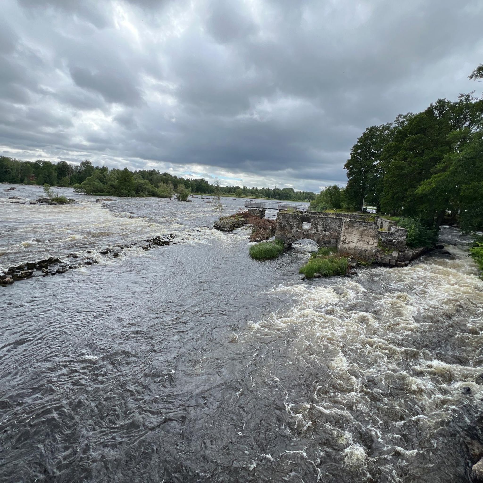
Järndammen is a scenic lake surrounded by forest, with walking trails leading around the water. The lake is also popular for fishing and forms part of the historic water system that once supplied the Sala Silver Mine with water power.
0
0
Helgonmossdammen is more than just a peaceful lake in the forest. The reservoir was completed in 1822 and once formed part of the water system supplying the historic Sala Silver Mine. Today, trails around the water make it a lovely place to explore this landscape and its mining heritage.
0
0
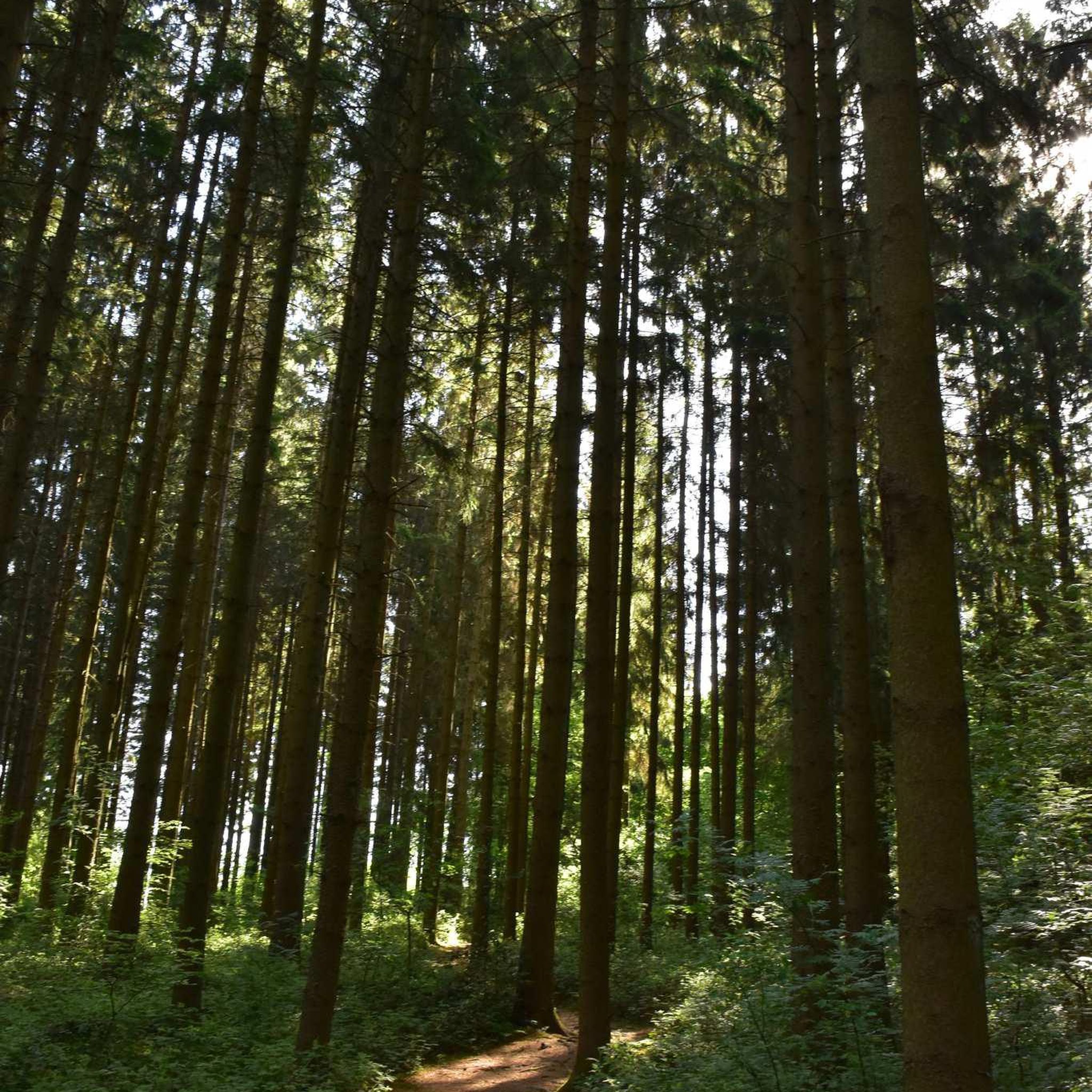
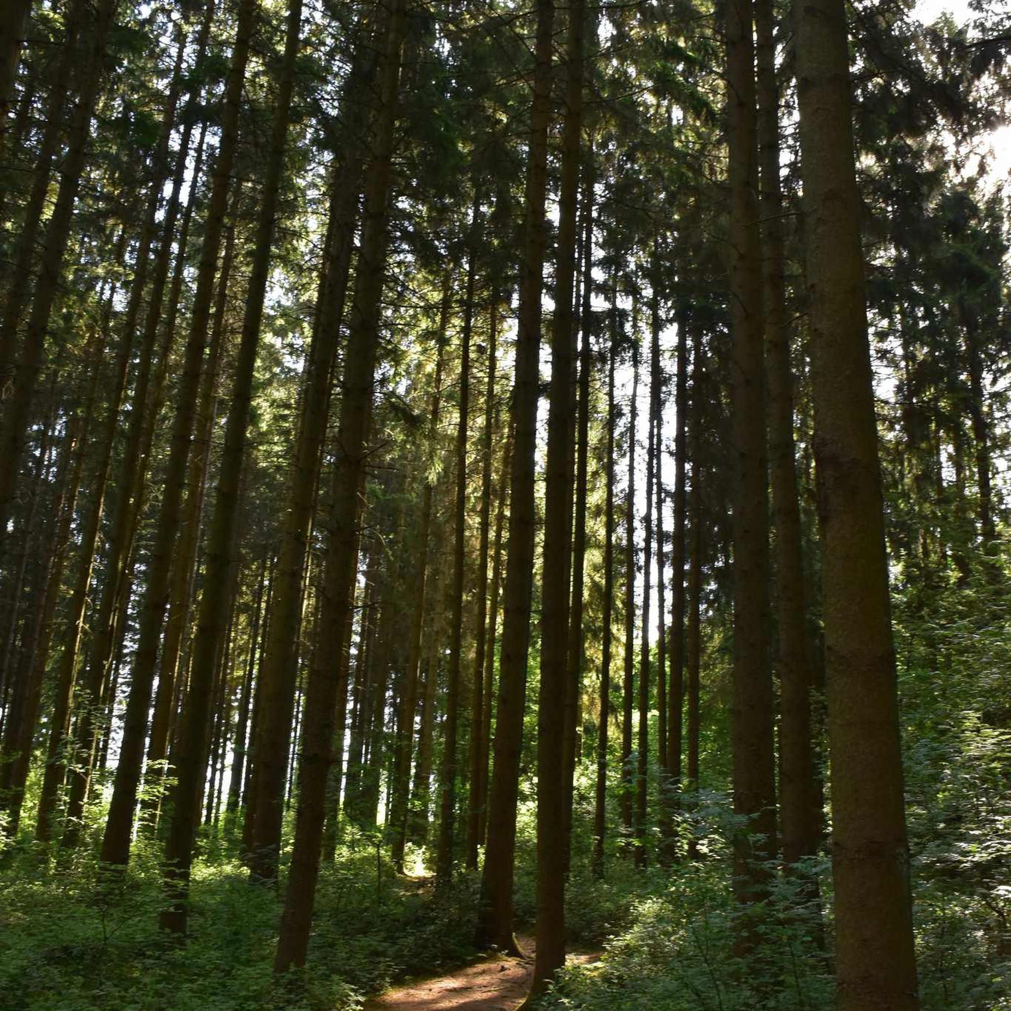
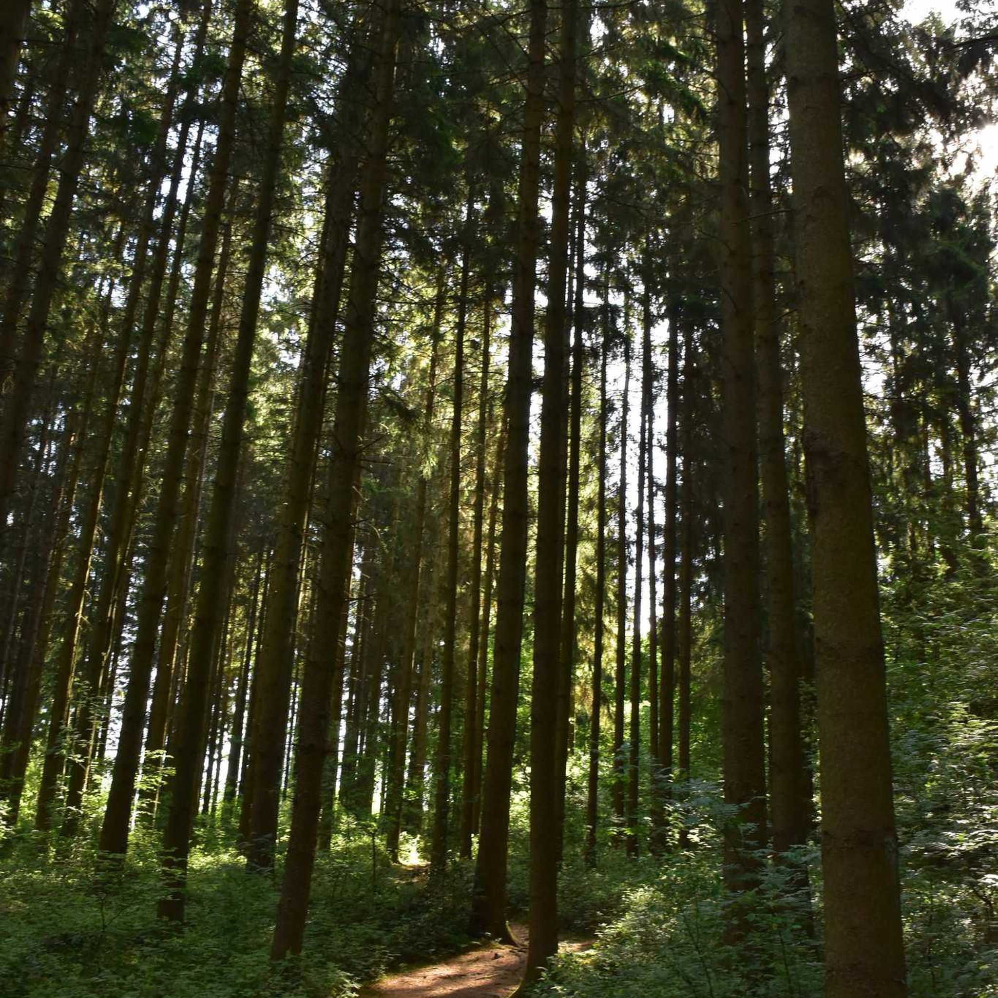
A narrow trail winds through the dense forest, with a wooden boardwalk helping you across one of the wetter sections. A lovely little stretch of woodland walking.
0
0

Along the trail here you may encounter diverse bird species and perhaps glimpse beavers near their dams. The path offers tranquil views of the water, with opportunities for fishing (with permissions) and picnics at designated spots
1
0
Frequently Asked Questions
How many hiking trails are there in Ölstabrändan?
Ölstabrändan offers a selection of 5 hiking trails, ranging from easy strolls to more challenging moderate paths. These routes allow you to explore the unique post-fire landscape and diverse ecosystems of the nature reserve.
What is the typical terrain like in Ölstabrändan?
The terrain in Ölstabrändan is notably block-rich and rocky, a distinctive feature shaped by a significant forest fire in 1888. This can make some areas challenging to traverse, especially when wet or icy, offering a rugged and natural hiking experience.
Are there any easy hiking trails suitable for beginners in Ölstabrändan?
Yes, Ölstabrändan has easy trails perfect for beginners. For instance, the Ekeby dammar loop from Sala is an easy 3.2 km route, and the Järndammsstugan – Järndammen lake loop from Järndammen is another easy option at 3.8 km, both offering pleasant walks around the lake areas.
What kind of natural features or landmarks can I expect to see while hiking in Ölstabrändan?
Ölstabrändan is rich in natural features shaped by its history. You'll encounter old pine trees that survived the 1888 fire, clear traces of the fire including charred trees and fire-cracked stone blocks, and a diverse mix of coniferous and deciduous forests. The area is also known for its significant amount of dead wood, providing habitats for various wildlife.
Are there any circular hiking routes in Ölstabrändan?
Yes, many of the trails in Ölstabrändan are circular. You can enjoy loops like the Pump House loop from Sala, a moderate 8.5 km path, or the longer Järndammsstugan – Järndammen lake loop from Sala kommun, which is 10.3 km and also moderate.
What is the best time of year to go hiking in Ölstabrändan?
Ölstabrändan offers unique experiences throughout the year. Spring and autumn are ideal for enjoying the varied forest colors and observing wildlife. Summer provides lush greenery, while winter, though challenging due to the block-rich terrain becoming icy or snow-covered, can offer a serene, untouched landscape for experienced hikers.
Is Ölstabrändan suitable for birdwatching?
Absolutely. Ölstabrändan is an excellent destination for birdwatching due to its rich biodiversity and abundance of dead wood, which provides crucial habitats. Bird species such as the Three-toed Woodpecker, European Honey Buzzard, Hazel Grouse, Eurasian Pygmy Owl, and Ural Owl are known to thrive here.
What do other hikers enjoy most about hiking in Ölstabrändan?
The komoot community highly rates Ölstabrändan, with an average score of 4.7 stars. Hikers often praise the area for its untouched, naturally developed forest, the unique ecological insights into a post-fire landscape, and the opportunity to experience truly wild and challenging terrain.
Are there any longer, more challenging hikes in Ölstabrändan?
For those seeking a longer and more challenging experience, the Beautiful Lake – Järndammen lake loop from Järndammen is a moderate 12.8 km route. This trail allows for a more extensive exploration of the reserve's diverse landscapes and the Järndammen lake area.
Is there a memorial site or any historical points of interest in Ölstabrändan?
Yes, within Ölstabrändan, a small path leads from a gravel road to a memorial site. This site commemorates a plane crash that occurred on April 13, 1965, featuring a plaque honoring those who died in the accident, offering a poignant historical point of interest amidst the natural landscape.

Get inspired with the komoot mobile app


Explore more
Browse the best Hikes in other regions.
