The best walks and hikes in Zipaquirá
4.7
(17)
102
hikers
10
hikes
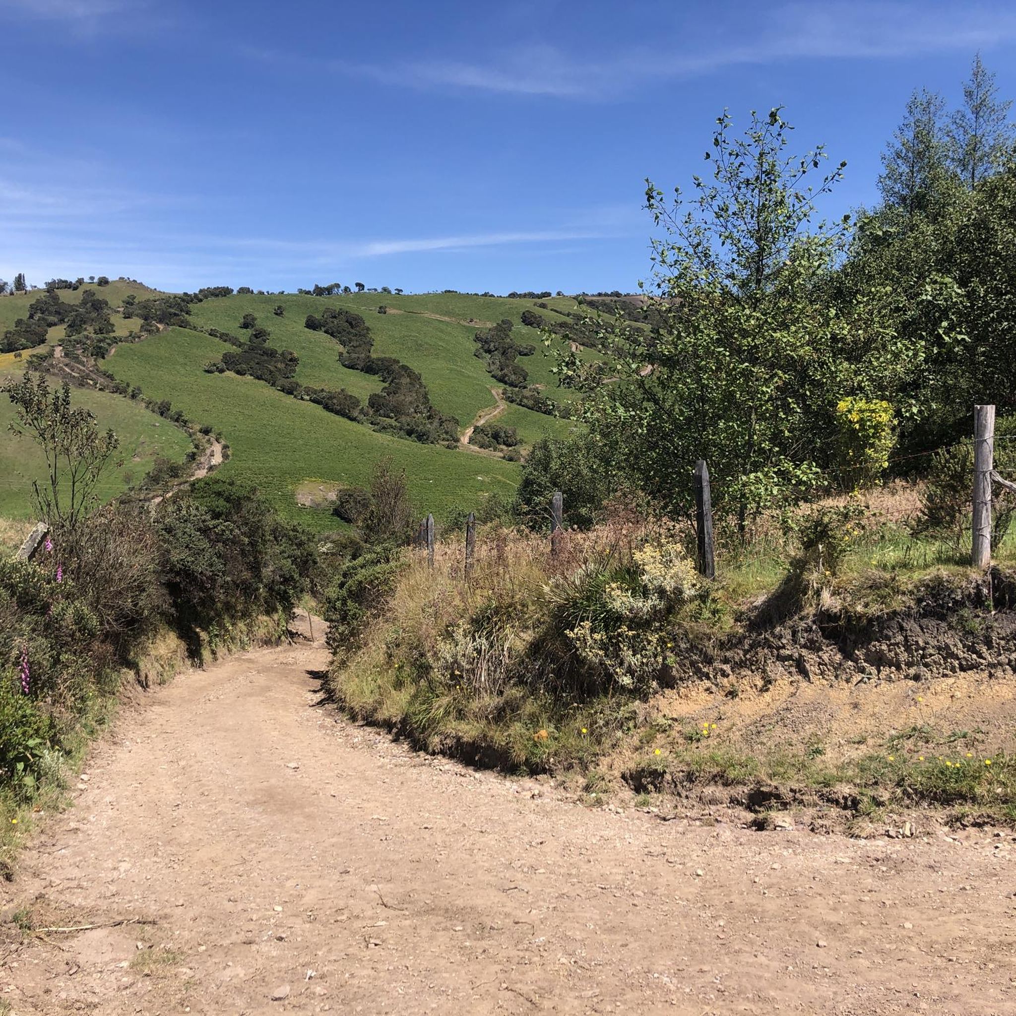
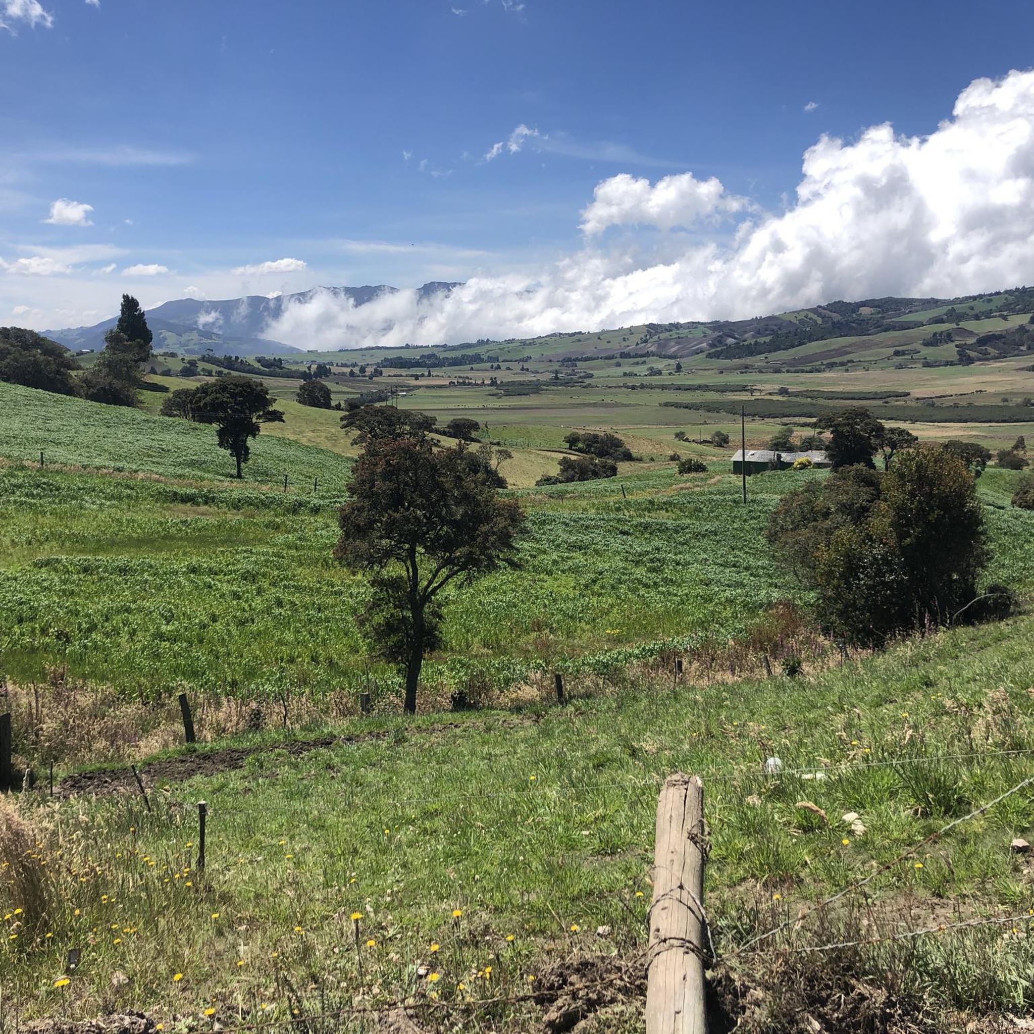
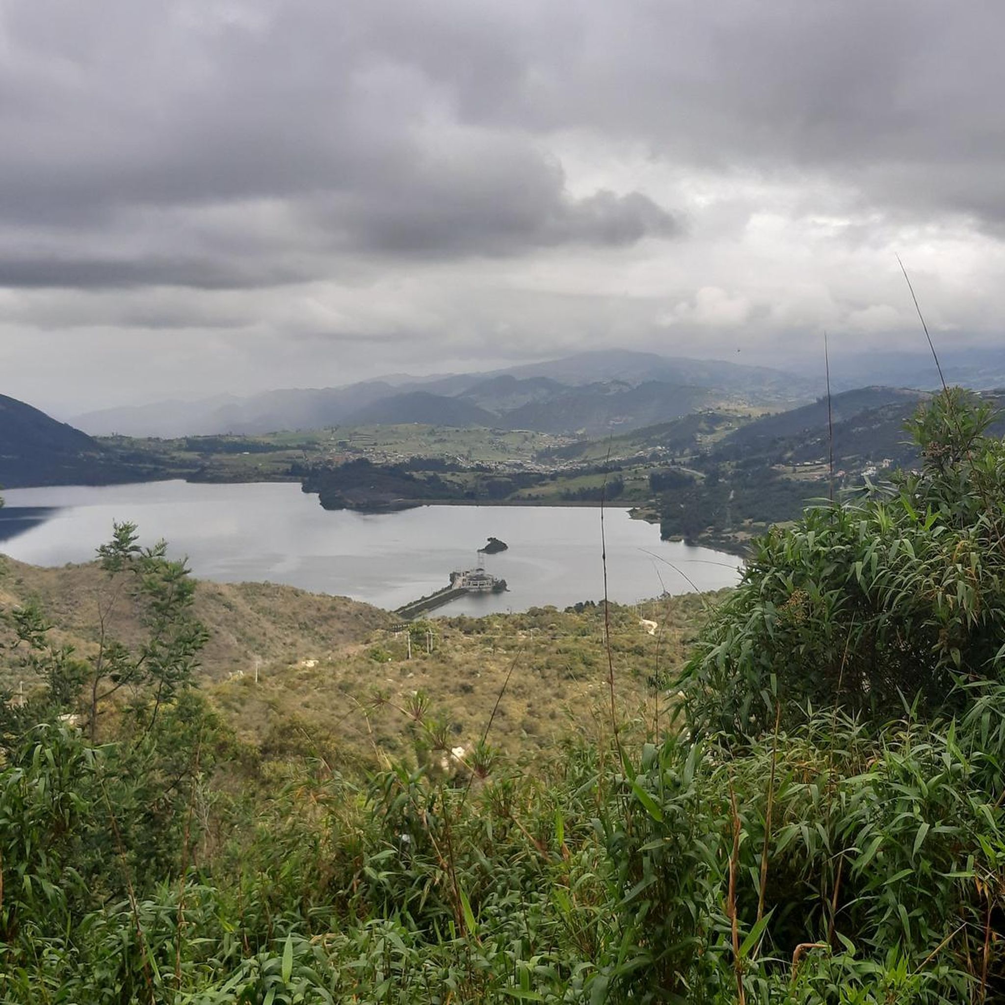
Hiking in Zipaquirá offers trails through the high-altitude landscapes of the Colombian Andes. The region features rolling hills, agricultural areas, and pockets of forest, providing varied terrain for outdoor activities. Elevations typically range from 2,500 to 3,000 meters above sea level, influencing the local flora and fauna. The area is characterized by its rural charm and views of the surrounding Cundinamarca department.
Best hiking trails in Zipaquirá
- The most popular hiking route is La Cumbre loop from Campus Nueva Granada…
Last updated: July 4, 2026
4.7
(3)
27
hikers
12.2km
03:39
350m
350m
Moderate hike. Good fitness required. Easily-accessible paths. Suitable for all skill levels.
5.0
(1)
25
hikers
5.79km
01:50
230m
230m
Easy hike. Great for any fitness level. Easily-accessible paths. Suitable for all skill levels.

Sign up for free
4.0
(1)
11
hikers
9.69km
02:58
280m
280m
Moderate hike. Good fitness required. Easily-accessible paths. Suitable for all skill levels.
5.0
(1)
5
hikers
Moderate hike. Good fitness required. Easily-accessible paths. Suitable for all skill levels.
5.0
(3)
6
hikers
7.34km
02:08
190m
190m
Moderate hike. Good fitness required. Easily-accessible paths. Suitable for all skill levels.
Get access to more routes and recommendations from other explorers.
Sign up for free
Already have an account?
Our route recommendations are based on thousands of hikes, rides, and runs completed by other people on komoot.
Start today with a free account
Your next adventure awaits.
Login or Signup
Tips from the Community

eco shop and traditional food
0
0

There are plenty of dining options on the square.
0
0

Old train station where there is a big train station especially on weekends when the tourist pays his respects.
0
0
In addition to the salt cathedral, a detour through the historic old town with its hustle and bustle around the large square and its side streets is also worthwhile.
1
0

Frequently Asked Questions
How many hiking trails are available in Zipaquirá?
Zipaquirá offers a diverse selection of over 10 hiking routes. These range from easy walks to more challenging moderate trails, providing options for various fitness levels.
What is the typical difficulty of hiking trails in Zipaquirá?
Most hiking trails in Zipaquirá are classified as moderate, making them suitable for hikers with some experience. There are also a few easier routes available for beginners or those seeking a more relaxed walk. For example, the La Cumbre loop from Campus Nueva Granada is a moderate route offering scenic views.
Are there circular hiking routes in Zipaquirá?
Yes, many of the hiking routes in Zipaquirá are circular, allowing you to start and end at the same point. Examples include the House loop from Cajicá, which navigates through rural landscapes, and the Zipaquirá Train Station – Historic Center of Zipaquirá loop, combining urban and natural areas.
What kind of scenery can I expect on hikes in Zipaquirá?
Hiking in Zipaquirá takes you through the high-altitude landscapes of the Colombian Andes. You'll encounter rolling hills, agricultural areas, and pockets of forest, with characteristic rural charm and views of the surrounding Cundinamarca department.
What attractions or landmarks can I see near the hiking trails in Zipaquirá?
Beyond the trails, Zipaquirá offers several points of interest. Hikers can explore areas like Alto de Canicas or Alto de las Margaritas. The famous Salt Cathedral of Zipaquirá is also a major attraction in the town itself, though not directly on a hiking trail.
How long do hikes in Zipaquirá typically take?
The duration of hikes in Zipaquirá varies depending on the route and your pace. Moderate trails like the Nemocón Salt Mine loop from Estación Nemocon can take around 2 hours, while longer routes such as the La Cumbre loop from Estación de Tren de Cajicá might require 4 hours or more.
What do other hikers say about the trails in Zipaquirá?
The hiking routes in Zipaquirá are highly rated by the komoot community, with an average score of 4.7 stars from over 10 reviews. Hikers often praise the varied terrain, rural scenery, and the views of the Andean foothills.
Are there easy hikes suitable for beginners in Zipaquirá?
Yes, Zipaquirá offers a couple of easy routes perfect for beginners or those looking for a less strenuous walk. These trails provide a gentle introduction to the region's natural beauty without significant elevation changes.
What are the typical elevations for hiking in Zipaquirá?
Hiking in Zipaquirá takes place at high altitudes, with elevations typically ranging from 2,500 to 3,000 meters (approximately 8,200 to 9,800 feet) above sea level. This influences the local flora and fauna and can make hikes feel more strenuous for those not accustomed to the altitude.
Is there parking available for hikers in Zipaquirá?
Parking availability can vary depending on the specific trailhead. In the town of Zipaquirá itself, there are often paid parking lots. For routes starting outside the urban center, roadside parking might be available, but it's advisable to check specific route details or local information for the best options.
What should I wear for hiking in Zipaquirá?
Given the high altitude and Andean climate, it's recommended to dress in layers. Be prepared for cooler temperatures, especially in the mornings and evenings, and potential rain. Comfortable hiking shoes, a waterproof jacket, and sun protection are essential.
Most popular attractions in Zipaquirá

Get inspired with the komoot mobile app


Explore more
Browse the best Hikes in other regions.
