The best road cycling routes in Fraijanes
4.6
(13)
201
riders
9
rides
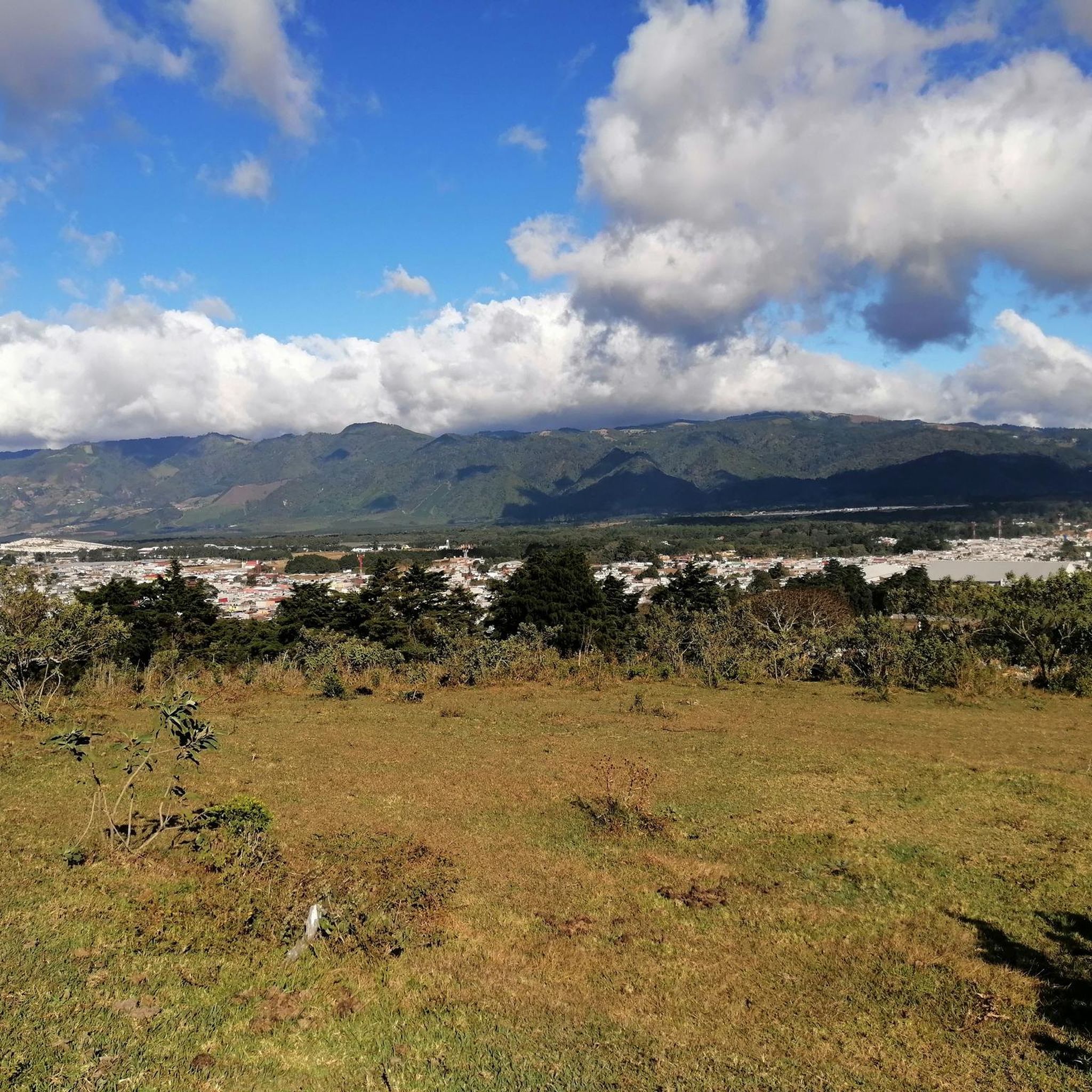
Road cycling routes in Fraijanes are characterized by mountainous terrain and significant elevation changes within the Guatemalan Highlands. The region features an average elevation of approximately 1,491 meters, with routes traversing from 984 meters to over 2,000 meters. This topography provides cyclists with challenging climbs and rewarding descents through lush landscapes. Fraijanes offers a compelling environment for road cyclists seeking physically demanding routes.
Best road cycling routes in Fraijanes
- The most popular road cycling route is Loop around the lake…
Last updated: July 15, 2026
51
riders
81.1km
04:15
1,430m
1,430m
Hard road ride. Very good fitness required. Mostly well-paved surfaces and easy to ride.
4.0
(2)
55
riders
65.7km
03:20
950m
950m
Hard road ride. Very good fitness required. Mostly well-paved surfaces and easy to ride.

Sign up for free
5.0
(1)
20
riders
103km
05:22
1,790m
1,790m
Hard road ride. Very good fitness required. Mostly well-paved surfaces and easy to ride.
4.0
(2)
18
riders
Moderate road ride. Good fitness required. Mostly well-paved surfaces and easy to ride.
5.0
(3)
13
riders
Easy road ride. Great for any fitness level. Mostly well-paved surfaces and easy to ride.
10
riders
92.2km
05:01
1,840m
1,840m
Hard road ride. Very good fitness required. Mostly well-paved surfaces and easy to ride.
4.8
(4)
10
riders
15.0km
00:46
80m
80m
Easy road ride. Great for any fitness level. Mostly well-paved surfaces and easy to ride.
5
riders
112km
05:59
2,040m
2,040m
Hard road ride. Very good fitness required. Mostly well-paved surfaces and easy to ride.
2
riders
53.2km
02:55
930m
930m
Hard road ride. Very good fitness required. Mostly well-paved surfaces and easy to ride.
5.0
(1)
3
riders
79.5km
03:59
1,060m
1,060m
Hard road ride. Very good fitness required. Some segments of this route may be unpaved and difficult to ride.
Our route recommendations are based on thousands of hikes, rides, and runs completed by other people on komoot.
Start today with a free account
Your next adventure awaits.
Login or Signup
Popular around Fraijanes

Frequently Asked Questions
What kind of terrain can I expect when road cycling in Fraijanes?
Fraijanes is situated in the mountainous Guatemalan Highlands, so you can expect significant elevation changes. Routes typically traverse from around 984 meters up to over 2,000 meters, offering challenging climbs and rewarding descents through lush, green landscapes. The region's topography is ideal for cyclists seeking a physical challenge with scenic vistas.
Are there road cycling routes suitable for beginners in Fraijanes?
While Fraijanes is known for its challenging mountainous terrain, there are a few routes that offer a less strenuous experience. For instance, the Cycle Works (4° Norte) – Urban Plaza Rest Spot loop from Universidad del Valle de Guatemala is an easier 20.8-mile (33.4 km) trail. Another option is the Cycle Works (4° Norte) loop from Condominio Firenze, which is a shorter 9.6-mile (15.5 km) route with minimal elevation gain.
What are some of the more challenging road cycling routes in Fraijanes?
For experienced road cyclists seeking a significant challenge, Fraijanes offers several demanding routes. The Loop around the lake – Urban Plaza Rest Spot loop from Guatemala is a difficult 69.5-mile (111.9 km) route with over 6,600 feet of elevation gain. Another popular, difficult option is the Finca cafetalera – finca loop from Guatemala, spanning 64.8 miles (104.2 km) with nearly 5,900 feet of climbing.
What do other road cyclists say about the routes in Fraijanes?
The road cycling routes in Fraijanes are highly regarded by the komoot community, holding an average rating of 4.6 stars from more than 10 reviews. Cyclists often praise the challenging climbs, rewarding descents, and the beautiful, lush scenery encountered throughout the rides in the Guatemalan Highlands.
Are there any loop trails for road cycling in Fraijanes?
Yes, many of the road cycling routes in Fraijanes are designed as loops, allowing you to start and end at the same point. Examples include the popular Loop around the lake – Urban Plaza Rest Spot loop from Guatemala and the Cycle Works (4° Norte) loop from Guatemala, both offering extensive circular journeys through the region.
What natural features or viewpoints can I expect to see along the road cycling routes?
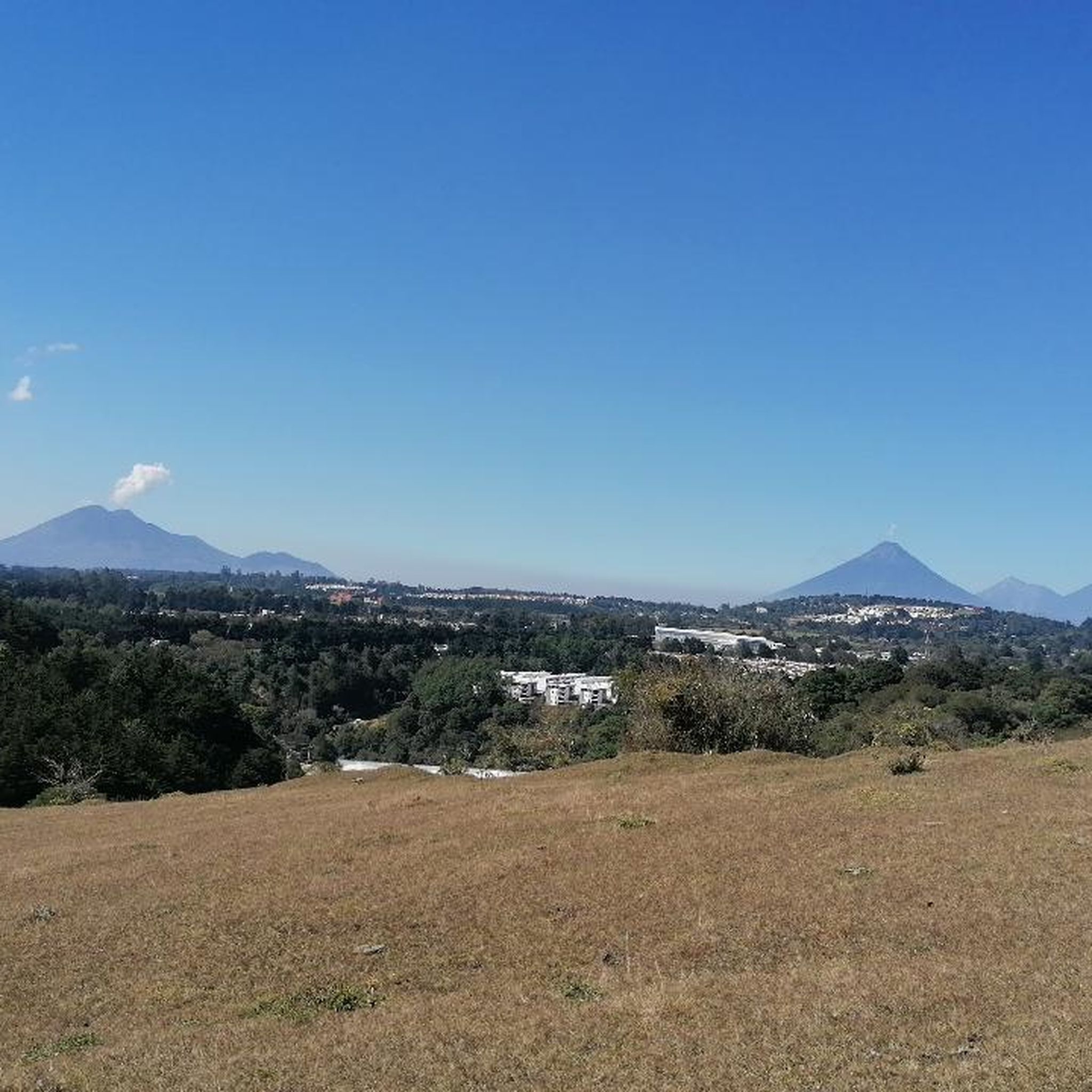
Road cycling in Fraijanes offers stunning views of the lush Guatemalan Highlands. While specific named landmarks directly on the routes are not detailed, the region's mountainous topography provides dramatic backdrops. You'll cycle through green areas with significant elevation changes, offering panoramic vistas of the surrounding landscape. The broader region is also known for its volcanoes and iconic lakes, which contribute to the overall scenic beauty.
What is the best time of year to go road cycling in Fraijanes?
Given its location in the Guatemalan Highlands, Fraijanes generally experiences a temperate climate. The dry season, typically from November to April, is often considered the best time for road cycling, as you'll encounter less rain and more consistent weather conditions. However, the lush scenery is present year-round, and the region's elevation helps moderate temperatures.
Are there any road cycling routes that are particularly long or require a full day?
Yes, several routes in Fraijanes are quite long and challenging, making them suitable for a full day of cycling. The Loop around the lake – Urban Plaza Rest Spot loop from Guatemala, at 69.5 miles (111.9 km) and an estimated 6 hours, is a significant undertaking. Similarly, the Roadbike loop from Banquetes La Hacienda GT covers 57.3 miles (92.2 km) and takes approximately 5 hours to complete, offering another extensive ride.
Are the road cycling routes in Fraijanes suitable for families?
Due to the predominantly mountainous terrain and significant elevation changes, most road cycling routes in Fraijanes are rated as difficult. While there are a couple of easier routes, such as the Cycle Works (4° Norte) – Urban Plaza Rest Spot loop from Universidad del Valle de Guatemala, families with younger children or those seeking very flat, easy rides might find the options limited. These easier routes are better suited for families with older, more experienced cyclists.
How many road cycling routes are available in Fraijanes?
There are 9 distinct road cycling routes documented in Fraijanes, all of which are highly rated by the komoot community. These routes offer a variety of distances and elevation profiles, predominantly catering to cyclists looking for a challenging experience in the mountainous terrain.
Can I find amenities like cafes or rest stops along the road cycling routes in Fraijanes?
While specific cafes or rest stops are not detailed for every route, the region's proximity to Guatemala City and its strong cycling culture suggest that amenities may be available, particularly near urban centers or popular starting points. Routes like the Cycle Works (4° Norte) – Urban Plaza Rest Spot loop from Distrito Moda often pass through areas where you might find places to refuel.
What is the average elevation gain on road cycling routes in Fraijanes?
Road cycling in Fraijanes is characterized by substantial elevation gain. The average elevation of the region is around 1,491 meters, with routes climbing from a minimum of 984 meters to a maximum of 2,042 meters. Many difficult routes feature over 1,000 meters (approximately 3,300 feet) of climbing, with some exceeding 2,000 meters (6,600 feet) of total ascent.
Most popular routes in Fraijanes

Get inspired with the komoot mobile app


Explore more
Browse the best Road cycling routes in other regions.
