Reeth, Fremington And Healaugh
Reeth, Fremington And Healaugh
The best waterfall hikes and walks around Reeth, Fremington And Healaugh
4.7
(1199)
8,211
hikers
8
hikes
Waterfall hiking trails around Reeth, Fremington And Healaugh are set within the picturesque Swaledale area of the Yorkshire Dales National Park. The region features rolling hillsides, expansive heather moorlands, and tranquil woodlands, characterized by a farming landscape with wildflower meadows, field barns, and ancient drystone walls. Numerous rivers and becks, including the River Swale and Arkle Beck, create impressive waterfalls like Kisdon Force and East Gill. High points such as Calver Hill (487m) offer views across Swaledale and Arkengarthdale.
Best…
Last updated: July 7, 2026
4.5
(6)
35
hikers
Moderate hike. Good fitness required. Mostly accessible paths. Sure-footedness required.
4.6
(5)
10
hikers
16.3km
04:43
420m
420m
Moderate hike. Good fitness required. Mostly accessible paths. Sure-footedness required.

Sign up for free
4.5
(2)
10
hikers
16.8km
04:57
460m
460m
Moderate hike. Good fitness required. Easily-accessible paths. Suitable for all skill levels.
4
hikers
13.1km
03:43
300m
300m
Moderate hike. Good fitness required. Easily-accessible paths. Suitable for all skill levels.
5.0
(1)
4
hikers
Moderate hike. Good fitness required. Easily-accessible paths. Suitable for all skill levels.
Get access to more routes and recommendations from other explorers.
Sign up for free
Already have an account?
Our route recommendations are based on thousands of hikes, rides, and runs completed by other people on komoot.
Start today with a free account
Your next adventure awaits.
Login or Signup
Popular around Reeth, Fremington And Healaugh
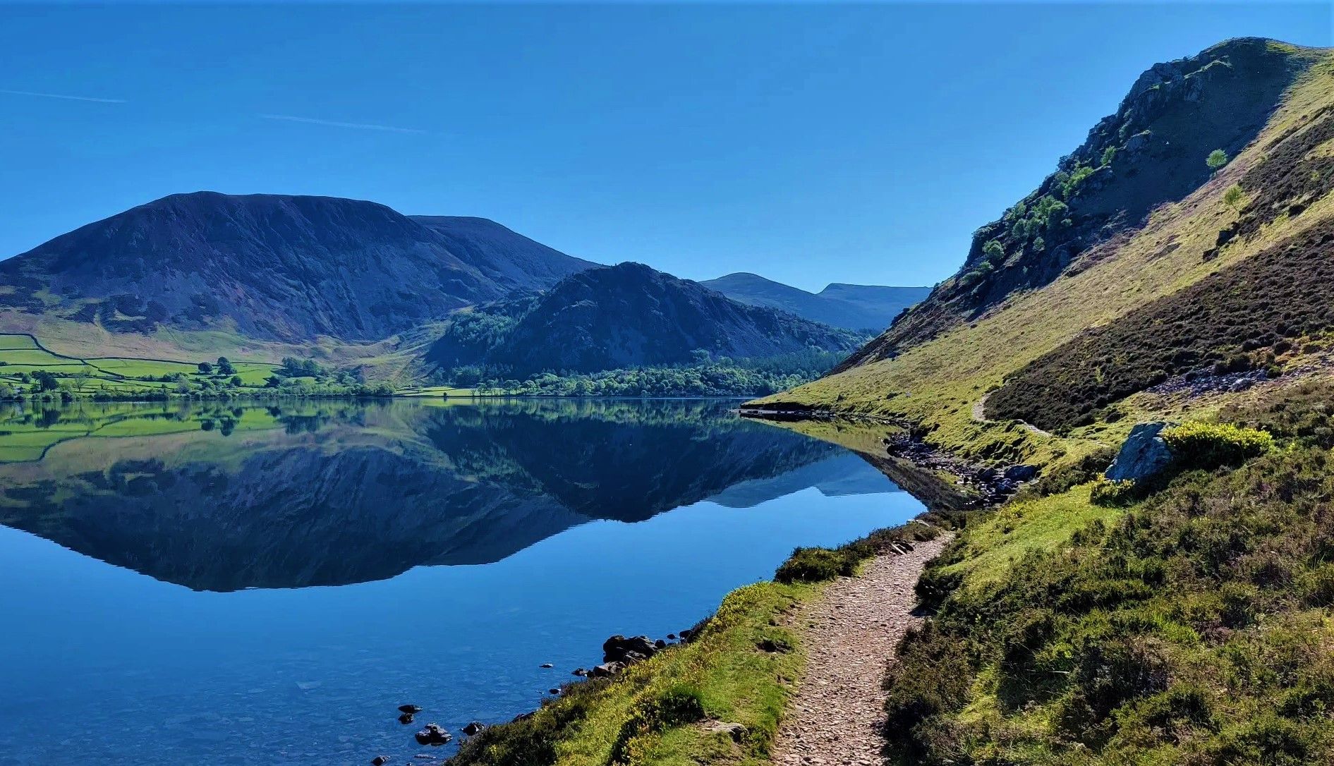
Wainwright's Coast to Coast — Hike the width of England in 13 stages
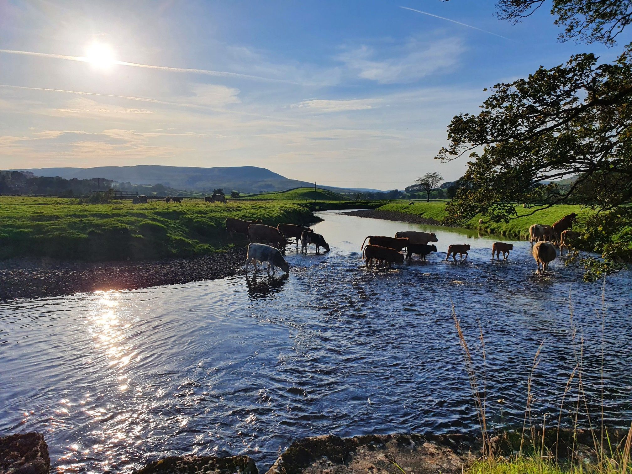
Hike alongside all creatures great and small – Herriot Way
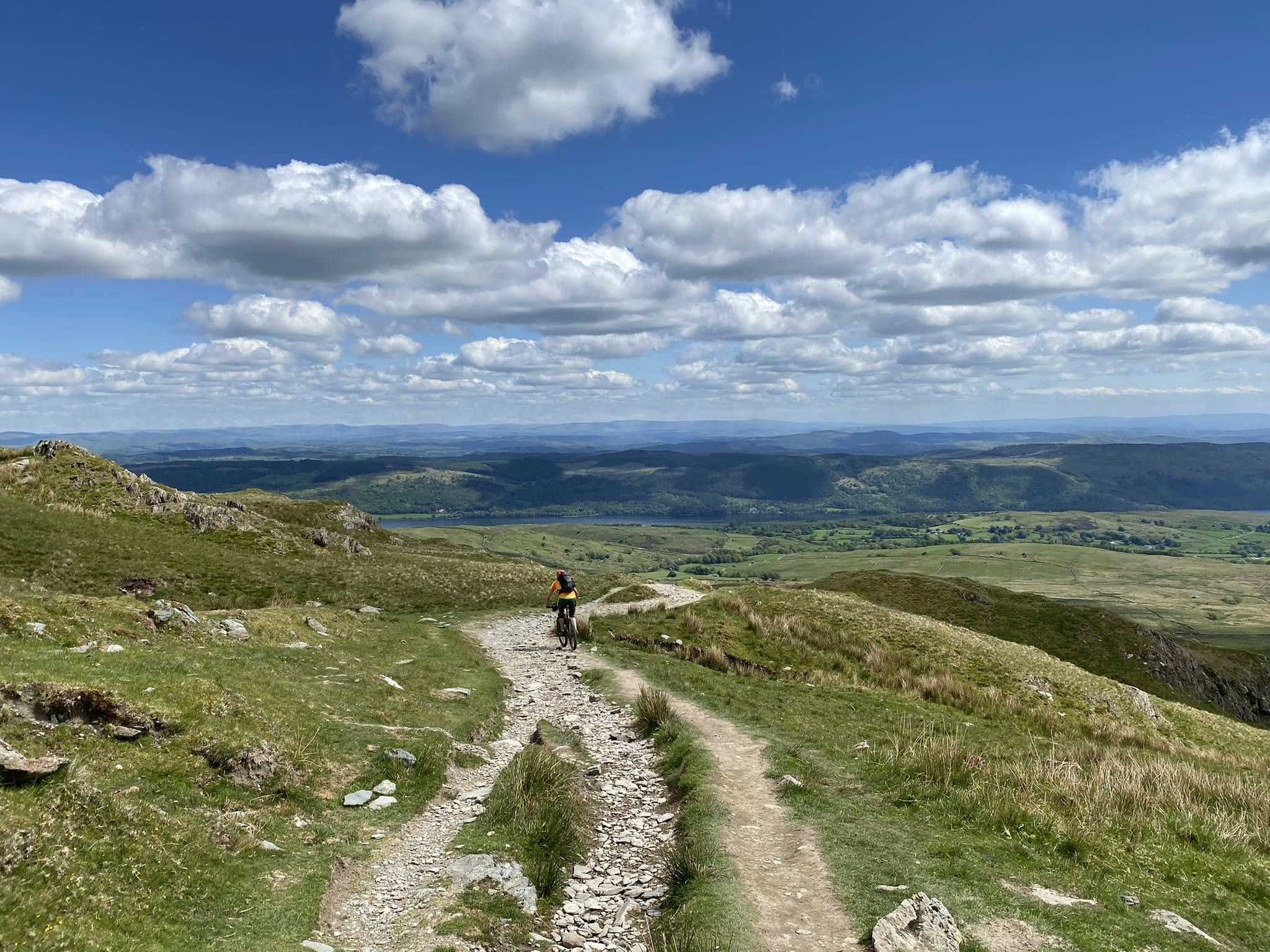
Tim Woodcock's Coast to Coast off-road route – Lakes, Dales and Moors

Gravel bike in the UK's wildest landscapes with Wild Cycles
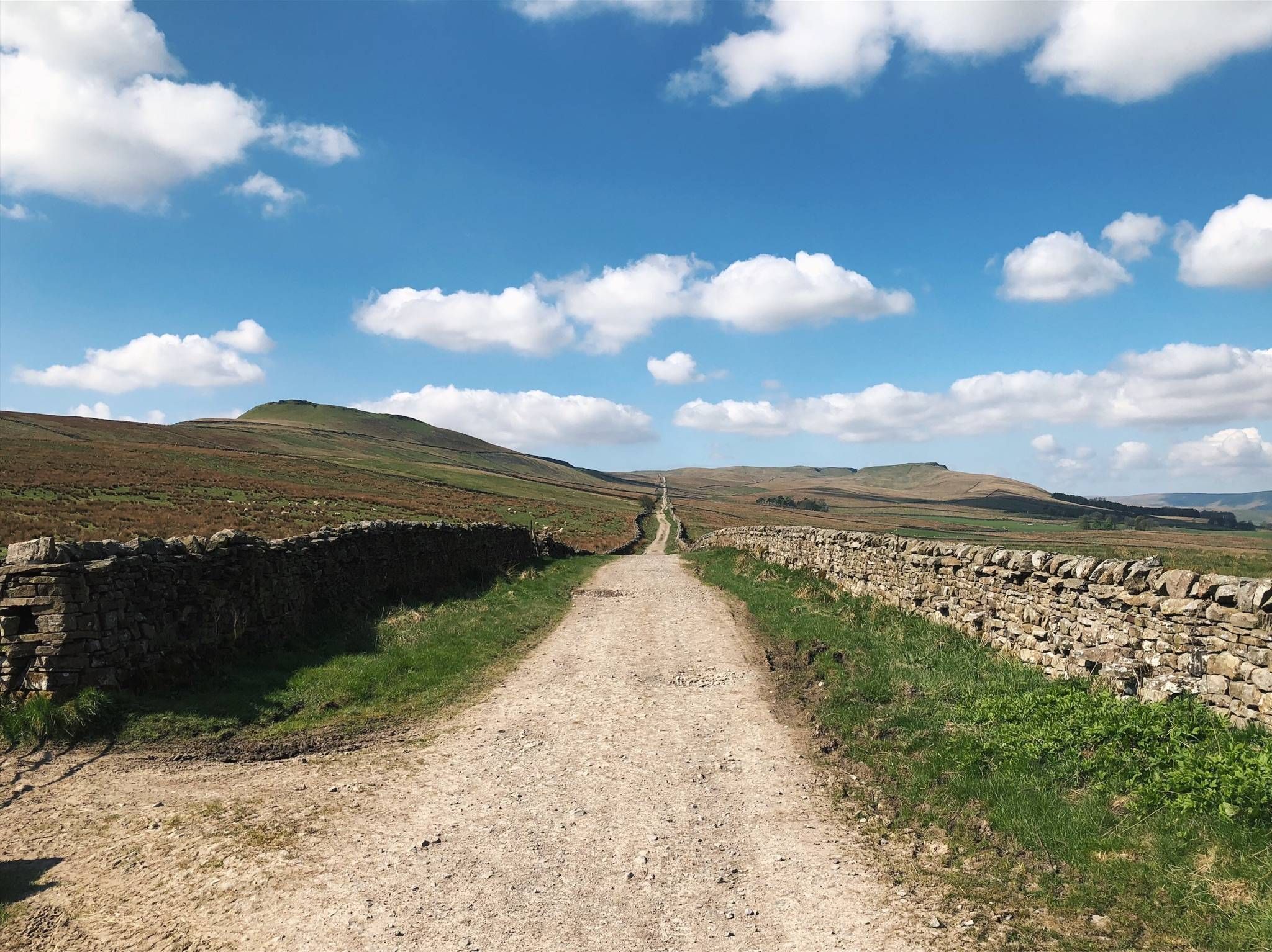
Roman Roads & Sublime Singletrack — The Yorkshire Dales 300
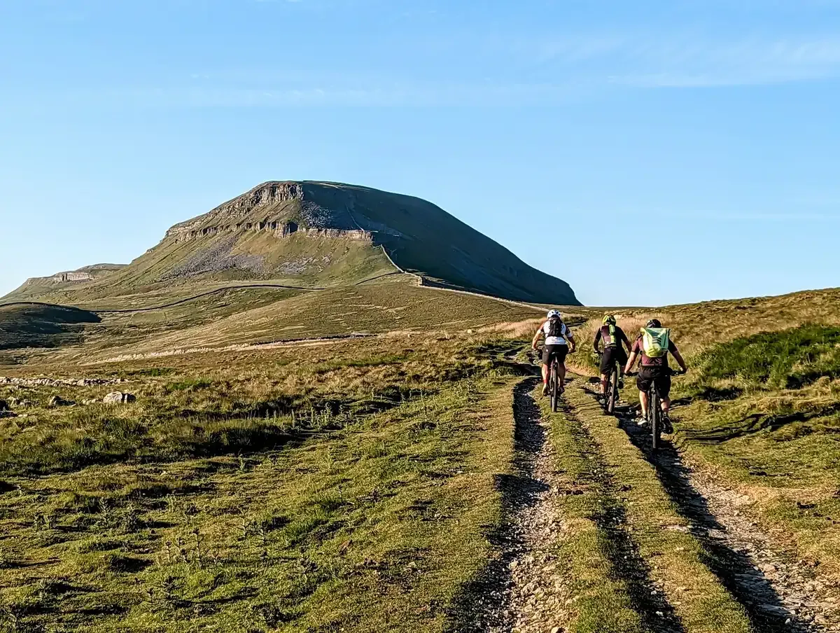
The Yorkshire Dales by mountain bike
Other adventures around Reeth, Fremington And Healaugh


Tips from the Community

The Old Gang are the ruins of a lead smelting mill, it dates back to the 18th and 19th centuries. It is one of the best preserved up in the north, and is designated a Scheduled Ancient Monument. This trail runs right through it, passing by various building ruins, mine entrances, and the peat store.
1
0

Nestled in peaceful Swaledale, Gunnerside is a classic Yorkshire Dales village. The King's Head, a community-owned, Grade II-listed pub, sits at its heart and serves good food and local ale. The surrounding moors make for interesting hill walks, with many remnants of the region's lead mining industry to discover and wide-ranging views to enjoy.
0
0

A cairn, a wind-swept hill and terrific views over Swaledale and Arkengarthdale - what more could you possibly want in life? Calver Hill (487m) is on Reeth Low Moor and is a perfect spot for hill-hungry walkers.
1
0
Forefield Rake is a strange, odd, desolate land, a line of old mine workings. There is a cairn up here: from next to it, you should be able to make out Great Shunner Fell on the horizon to the west. Great Pinseat (583m), a few minutes' walk to the north, is not on the path here, but most will be able to easily get to it.
1
0
Near Winterings, in the vicinity of a traditional stone barns here, just under Low Scar, there are fantastic views of Swaledale's green hills and slopes. The quintessential Yorkshire Dales! There's just something difficult to describe in words about the lone trees on the slope here with the view of the wooded hills rising on the other side of the valley as their background. Beautiful!
1
0
Old Gang is an old smelting mill, dating back to the 18th or 19th century. It's one of the best preserved mills of its kind in the North and is also a Scheduled Ancient Monument. There are many remains here. The most obvious is the mill itself, with its completely intact chimney. There is also a row of stone columns on the hillside, representing all that remains of a peat house. The area is harsh, bleak and, therefore, fantastic (a bit of an insight into the way my mind works there).
2
0
Among these impressive hills, there was once a large water-powered wheel in a deep pit, supported on the timber still visible today. It was meant to crush lead from the nearby Bunting Level. These mines here are one of many disused ones in this area, from the 19th century.
2
0

Whilst the Old Gang mill was one of the largest in the area, a search of the archives has failed to reveal either when it was built or closed. Nevertheless, there are some clues. Sure is, it's built before 1854 (and most probably before 1846. It had stopped serious smelting by 1885. It is found that “the last ore was smelted in 1898, but for several years prior to this date very little work had been done”. Nevertheless, the mill smelted in small way until at least October 1899, and possibly until 1903. By 1913, however, the mill had closed and the mine was selling its ore to John Walton & Co. at Castleside. Old Gang and Surrender were the largest AD smelt mills, but there were another five mills in the AD liberties. https://www.nmrs.org.uk/mines-map/smelt-mills/smelting/oldgang/
1
0
Frequently Asked Questions
How many waterfall hiking trails are available around Reeth, Fremington, and Healaugh?
There are 8 dedicated waterfall hiking trails listed in the Reeth, Fremington, and Healaugh area. These routes offer a range of experiences, from moderate to more challenging, allowing you to explore the stunning natural features of Swaledale.
Are there any family-friendly waterfall walks in the area?
While specific 'easy' routes are not highlighted in the data, many trails in Swaledale offer picturesque sections suitable for families. The region's diverse footpaths allow for shorter, more manageable walks along rivers and becks that lead to waterfalls like Kisdon Force and East Gill. It's always a good idea to check the route details for distance and elevation before heading out with children.
What are some of the most scenic waterfall hikes that also offer historical insights?
Many trails in the area combine natural beauty with a glimpse into the region's rich industrial past. For example, the Old Gang Smelting Mill and Bunton Crushing Mill loop from Surrender Bridge is a moderate 15 km trail that takes you through historic mining landscapes alongside impressive natural features. Another option is the Gunnerside village – Blakethwaite Smelt Mill Ruins loop from Low Row, which is a 16.8 km route exploring similar historical sites.
Are there any challenging waterfall hikes for experienced hikers?
Yes, the region offers trails that cater to more experienced hikers. While most routes are rated moderate, there are 2 difficult trails available. These often involve longer distances and more significant elevation changes, providing a rewarding challenge amidst the dramatic Dales scenery. Trails that ascend to higher points like Calver Hill or Fremington Edge can offer more strenuous sections and expansive views.
What do other hikers enjoy most about the waterfall trails in Reeth, Fremington, and Healaugh?
The waterfall hiking trails in Reeth, Fremington, and Healaugh are highly rated by the komoot community, with an average score of 4.7 stars from over 600 reviews. Hikers frequently praise the breathtaking and dramatic scenery, the iconic farming landscape with wildflower meadows and drystone walls, and the impressive waterfalls like Kisdon Force and East Gill. The blend of natural beauty and historical sites is also a common highlight.
Are there any circular waterfall walks available?
Yes, many of the trails in the area are designed as circular routes, allowing you to start and end in the same location. For instance, the Forefield Rake and Calver Hill loop from Surrender Bridge is a moderate 16.3 km circular path offering varied Dales terrain and views. Another option is the Surrender Bridge – Old Gang Smelt Mill Ruins loop from Low Row, a moderate 9.2 km circular route.
What kind of natural features can I expect to see along these waterfall trails?
Beyond the waterfalls themselves, you'll encounter a rich tapestry of natural features. The region is characterized by rolling hillsides, expansive heather moorlands, and tranquil woodlands. You'll also see charming wildflower meadows in summer, distinctive field barns, and ancient drystone walls. Rivers like the Swale and Arkle Beck are central to many routes, leading to the impressive waterfalls.
Are there any pubs or places to eat near the waterfall hiking trails?
Yes, the picturesque villages in the area, such as Reeth, Muker, Thwaite, and Keld, serve as excellent refreshment stops. While specific pubs directly on every trail are not listed, these villages offer cafes and pubs where you can relax and refuel after your hike. For example, the Tan Hill Inn – Britain's Highest Inn is a notable pub in the wider region.
What are some notable viewpoints or attractions to look out for on these hikes?
Many trails offer magnificent views across Swaledale and Arkengarthdale. High points like Calver Hill (487m) and Fremington Edge provide superb vistas. You might also encounter historical remnants of the lead mining industry, such as disused mines and spoil heaps. The Calver Hill Summit Cairn is a specific viewpoint to seek out.
What is the typical duration for a waterfall hike in this area?
The duration of waterfall hikes varies depending on the specific route and your pace. Moderate trails can range from approximately 2 hours 38 minutes for shorter loops like the Surrender Bridge – Old Gang Smelt Mill Ruins loop from Low Row, up to around 4 hours 57 minutes for longer routes such as the Gunnerside village – Blakethwaite Smelt Mill Ruins loop from Low Row. Always check the estimated duration for your chosen trail.
Is the area suitable for dog-friendly waterfall walks?
The Yorkshire Dales National Park is generally very welcoming to dogs, with many footpaths suitable for walks. However, it's important to keep dogs under close control, especially in areas with livestock or ground-nesting birds. Always follow the Countryside Code, and check specific route details for any restrictions or recommendations regarding dogs.
What is the best time of year to visit for waterfall hikes?
The Yorkshire Dales offer beauty year-round. Spring brings vibrant wildflowers and fresh greenery, while autumn showcases stunning foliage. After periods of heavy rain, the waterfalls like Kisdon Force and East Gill are particularly impressive due to increased water flow. Summer provides longer daylight hours, and winter can offer a dramatic, frosty landscape, though conditions may be more challenging.
Most popular routes around Reeth, Fremington And Healaugh
Most popular attractions around Reeth, Fremington And Healaugh

Get inspired with the komoot mobile app


Explore more
Browse the best Hikes in other regions.
