
The best walks and hikes around South Woodstock
5.0
(3)
41
hikers
17
hikes
Hiking around South Woodstock, VT, offers a variety of trails through a landscape characterized by rolling hills, dense woodlands, and river valleys. The region features a mix of easy paths along waterways and more challenging routes with moderate elevation gains. Hikers can explore forested areas and discover local natural features.
Best hiking trails around South Woodstock
- The most popular hiking route is Wolf Den loop via Mashamoquet Brook Trail, a 4.0 miles (6.4 km) trail that takes 1 hour…
Last updated: July 8, 2026
3
hikers
4.15km
01:13
120m
120m
The Indian Chair via Wolf Den Blue Trail and Red Trail Loop offers a delightful easy hike through Mashamoquet Brook State Park, covering 2.6 miles (4.2 km) with 382 feet…
2
hikers
9.81km
02:33
50m
70m
Hiking the moderate 6.1-mile West Thompson Lake and Quinebaug River Loop offers diverse scenery, including lake views and forested wetlands.

Sign up for free
5.77km
01:31
50m
40m
Hike the easy 3.6-mile Ledge Trail in Bafflin Sanctuary, a scenic route that takes about 1 hour and 30 minutes to complete.
1.61km
00:25
10m
10m
Hiking the Bog Trail in Bafflin Sanctuary is an easy 1.0-mile route through unique wetland ecosystems, perfect for a quick nature escape.
1.49km
00:27
50m
40m
Hike the easy 0.9-mile Indian Chair via Wolf Den Blue Trail to discover unique rock formations in Mashamoquet Brook State Park.
Get access to more routes and recommendations from other explorers.
Sign up for free
Already have an account?
Our route recommendations are based on thousands of hikes, rides, and runs completed by other people on komoot.
Start today with a free account
Your next adventure awaits.
Login or Signup
Popular around South Woodstock

Frequently Asked Questions
How many hiking trails are available in South Woodstock?
There are over 15 hiking routes in the South Woodstock area, offering a variety of experiences from easy strolls to more challenging long-distance paths.
Are there easy or family-friendly hiking trails in South Woodstock?
Yes, South Woodstock offers many easy trails suitable for families. For a gentle walk, consider the Putnam River Trail, an easy 3.5-mile (5.7 km) path that follows the river. Another great option is the Wolf Den loop via Mashamoquet Brook Trail, an easy 4.0-mile (6.4 km) loop through forested terrain.
What are some good options for longer day hikes in South Woodstock?
For a longer day hike, the Air Line Trail to Tri-State Marker is a challenging 14.9-mile (24.1 km) route that can take over 6 hours to complete. Another moderate option is the West Thompson Lake and Quinebaug River Loop, which is about 6.1 miles (9.8 km).
Are there any circular hiking routes in the South Woodstock area?
Yes, several trails offer a loop experience. The Wolf Den loop via Mashamoquet Brook Trail is a popular easy loop. For a slightly longer option, try the Indian Chair via Wolf Den Blue Trail and Red Trail Loop, which is 2.6 miles (4.1 km). The West Thompson Lake and Quinebaug River Loop also provides a scenic circular route.
What kind of terrain can I expect on hikes around South Woodstock?
Hiking around South Woodstock is characterized by dense forests, rolling hills, and river paths. You'll find a mix of level walking along waterways and routes with moderate elevation gains through woodlands.
What do other hikers enjoy most about hiking in South Woodstock?
The area is highly rated by the komoot community, with an average score of 5.0 stars. Hikers often praise the quiet woodlands, well-maintained paths, and the natural beauty of the river trails.
Are there any interesting landmarks or natural features to see along the trails?
Yes, you can explore several points of interest. The Wolf Den is a notable cave feature. You might also encounter historical structures like the Old Daniels Dam and the West Thompson Dam, or enjoy views of the Cargill Falls Reservoir.
When is the best time to hike in South Woodstock, especially for fall foliage?
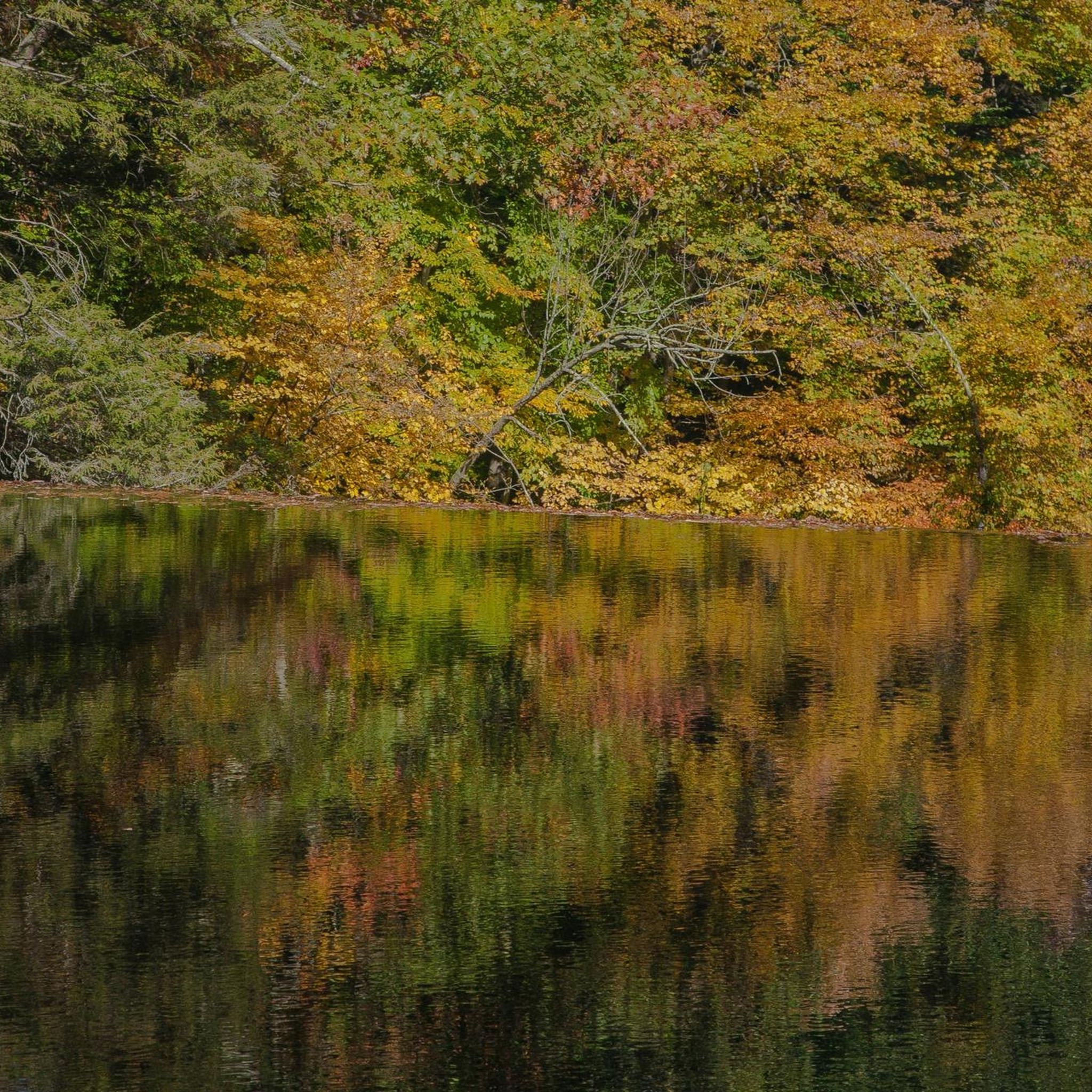
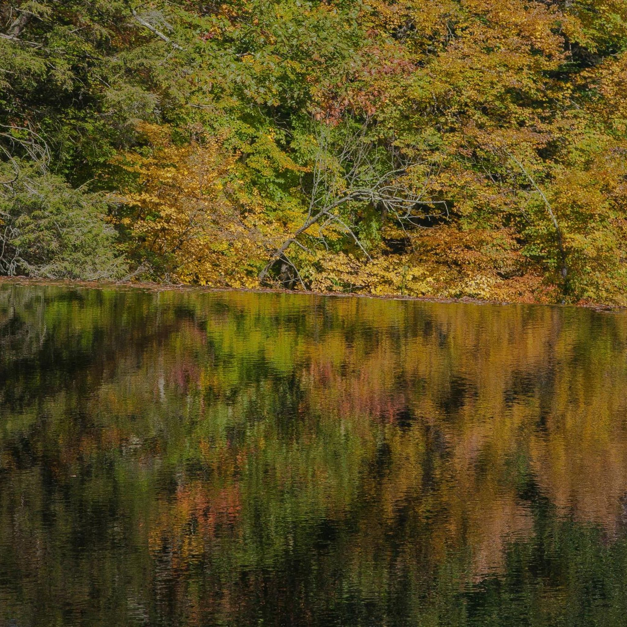
While hiking is enjoyable year-round, the fall season is particularly spectacular in South Woodstock for viewing vibrant fall foliage. The dense woodlands transform with brilliant colors, making it an ideal time for scenic walks.
Are there any trails that follow rivers or lakes?
Absolutely. The Putnam River Trail is an excellent choice, offering level walking directly alongside the river. The West Thompson Lake and Quinebaug River Loop also provides beautiful views of both the lake and the river.
What is the difficulty level of hikes in South Woodstock?
South Woodstock offers a range of difficulties. Most trails are easy, with 12 out of 16 routes classified as such. There are also 3 moderate trails and 1 difficult trail for those seeking a greater challenge.
Are there any trails that are particularly good for exploring natural features like caves?
Yes, the trails around the Wolf Den area, such as the Wolf Den loop via Mashamoquet Brook Trail, allow you to explore this unique natural cave formation.
Most popular routes around South Woodstock
Most popular attractions around South Woodstock

Get inspired with the komoot mobile app


Explore more
Browse the best Hikes in other regions.
