The best gravel rides around Cimarron Hills
5.0
(1)
61
riders
7
rides
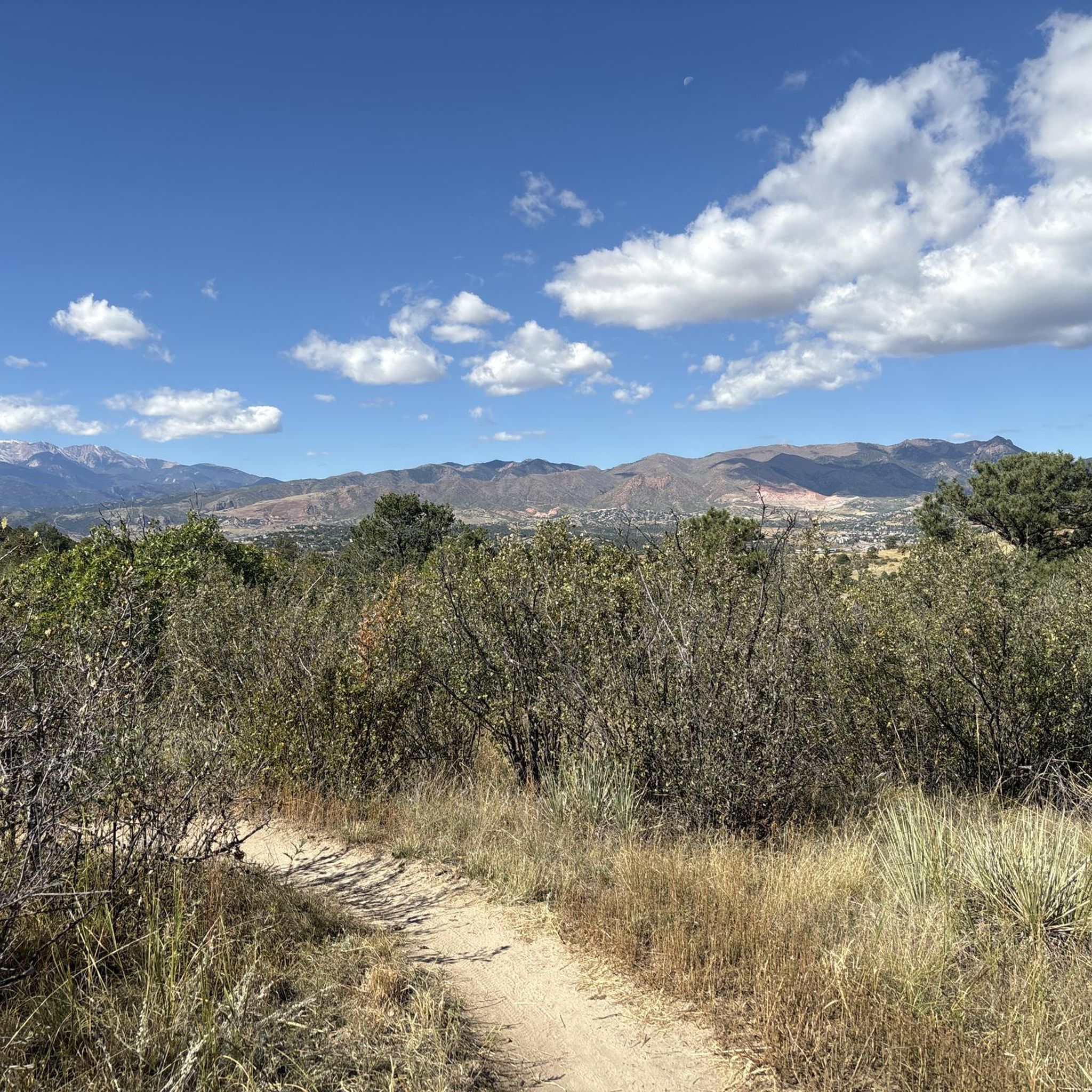
Gravel biking around Cimarron Hills, Colorado, offers access to diverse trail systems situated east of Colorado Springs. The region features views of the Rocky Mountains and Front Range, with terrain that blends suburban areas with natural landscapes. Geological features include sandstone outcroppings and red rock formations, providing varied riding environments. Access to Pike National Forest further expands the range of available trails.
Best gravel bike trails around Cimarron Hills
- The most popular gravel bike trail is Popsicle Bridge – New…
Last updated: October 11, 2026
8
riders
Moderate gravel ride. Good fitness required. Mostly paved surfaces. Suitable for all skill levels.
5.0
(1)
9
riders
Easy gravel ride. Great for any fitness level. Mostly paved surfaces. Suitable for all skill levels.

3
riders
36.3km
02:26
460m
460m
Hard gravel ride. Very good fitness required. Mostly paved surfaces. Suitable for all skill levels.
26
riders
Moderate gravel ride. Good fitness required. Mostly paved surfaces. Suitable for all skill levels.
4
riders
Moderate gravel ride. Good fitness required. Mostly paved surfaces. Suitable for all skill levels.
Get access to more routes and recommendations from other explorers.
Already have an account?
Our route recommendations are based on thousands of hikes, rides, and runs completed by other people on komoot.
Start today with a free account
Your next adventure awaits.
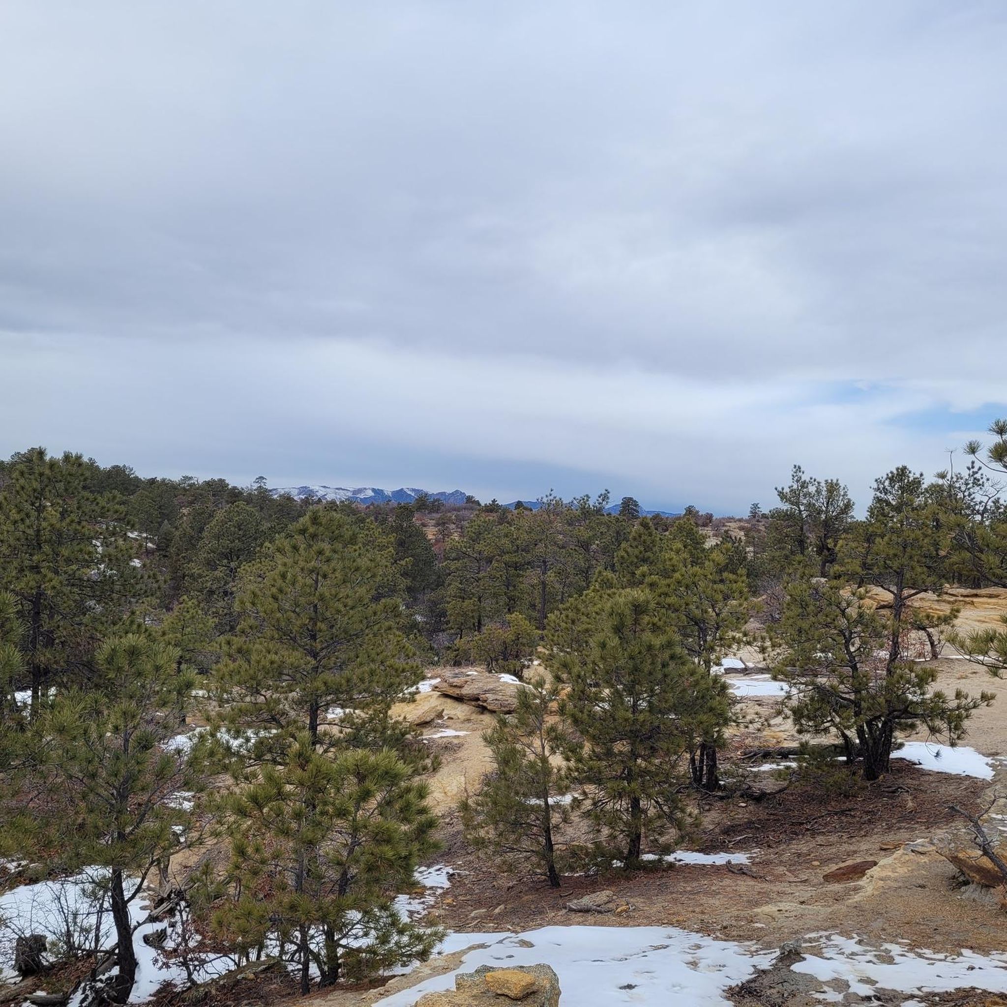
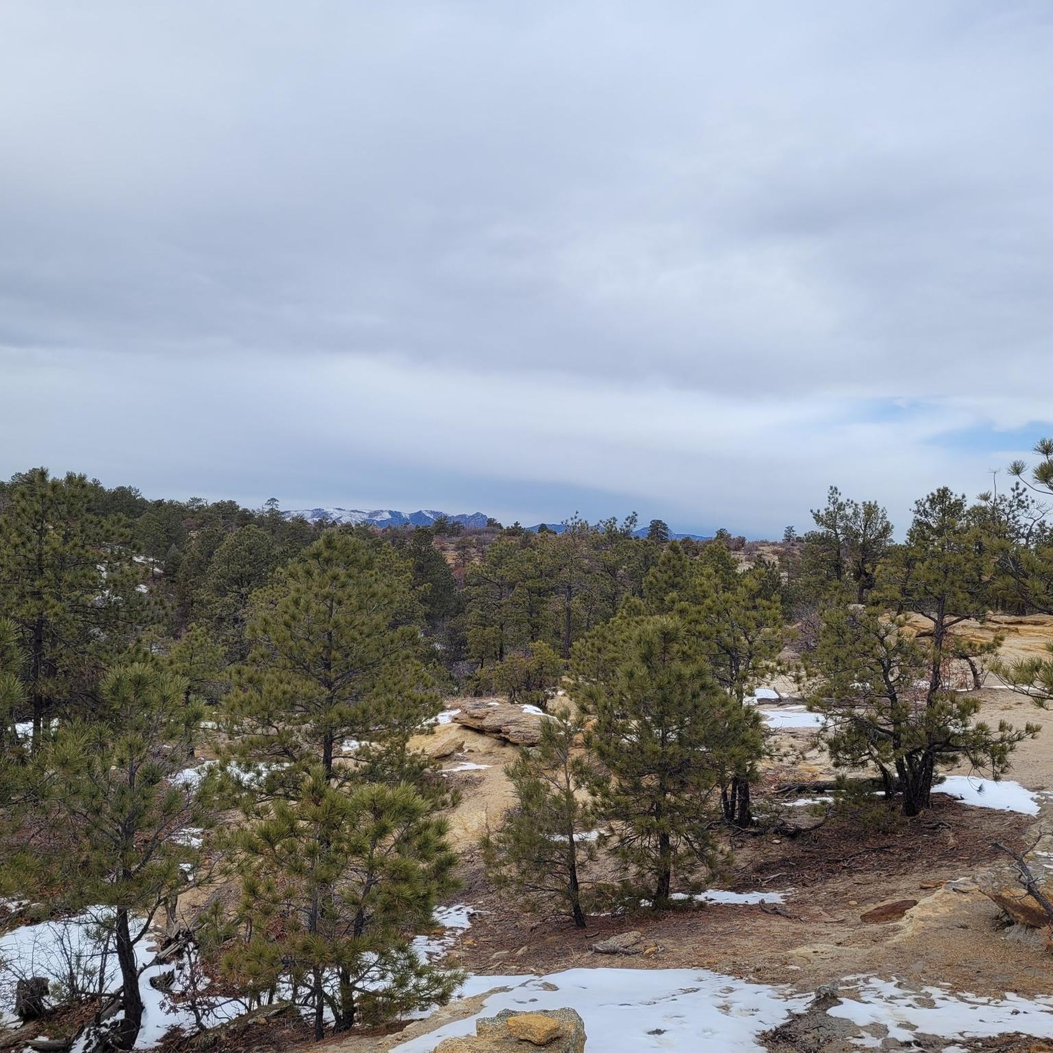
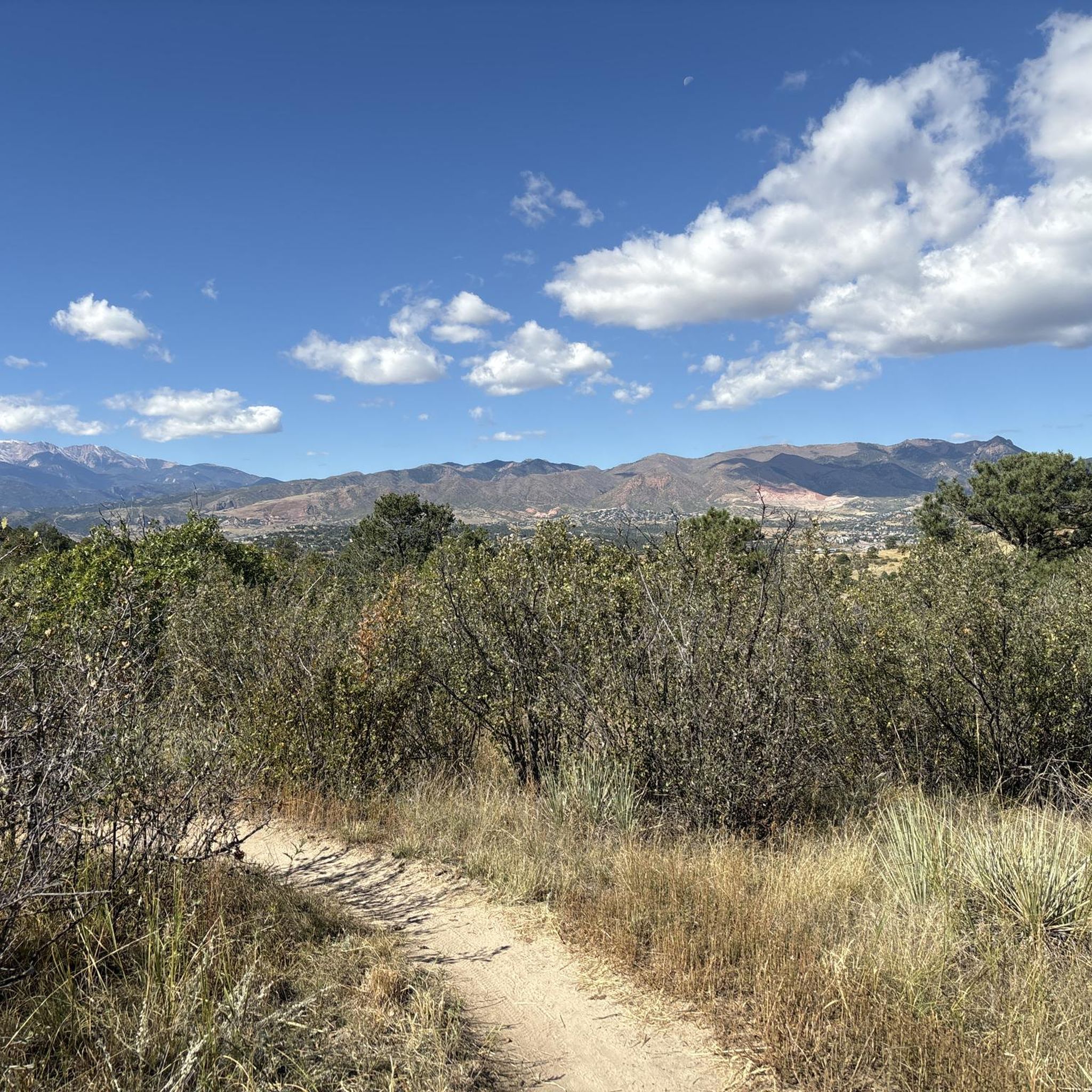
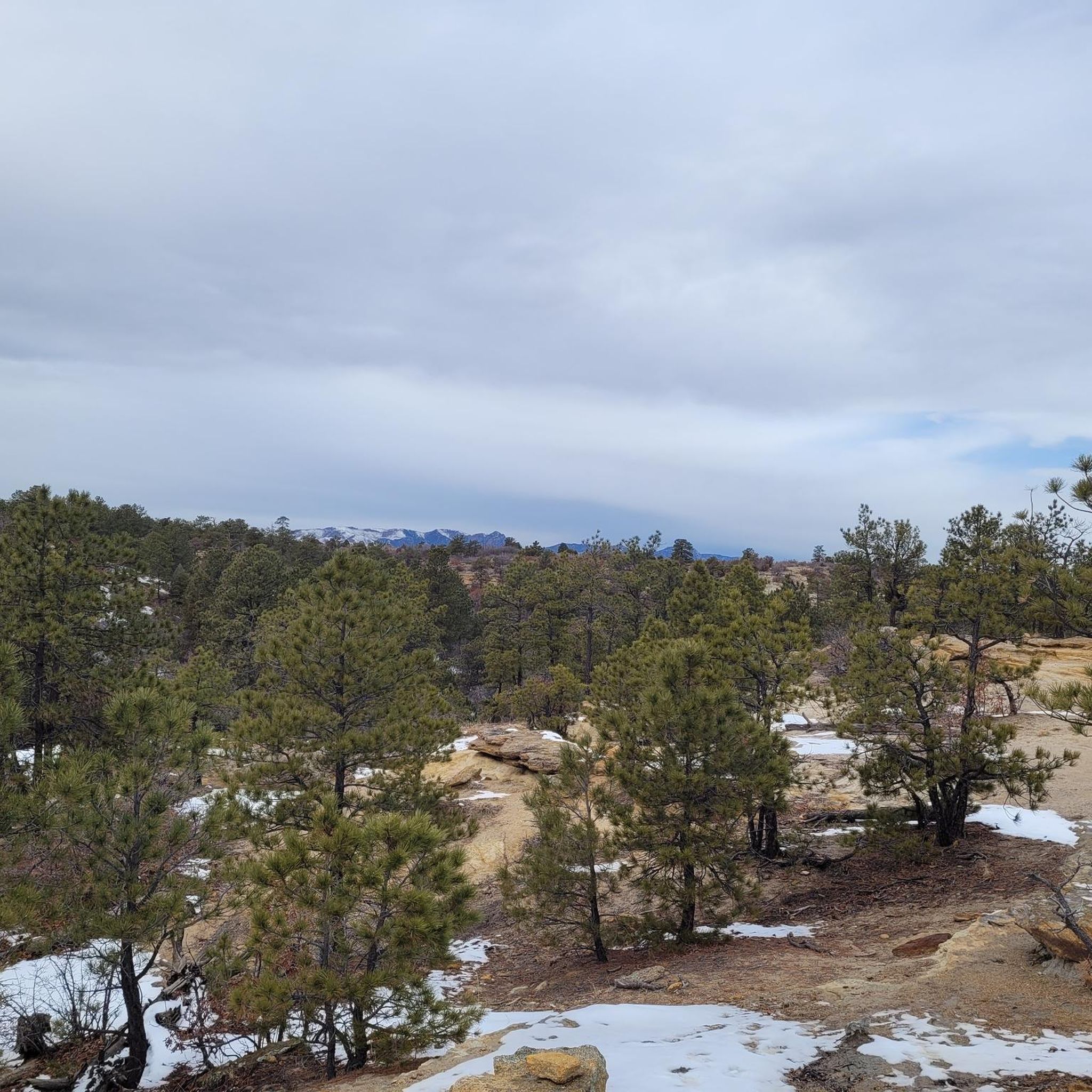
Tips from the Community

Go early to get a parking spot around Palmer Lake.
0
0

The Pikes Peak Greenway is a 16‑mile multi-use corridor that follows Monument Creek. The trail is a mix of pavement and dirt and is not too challenging.
1
0
Great view of the Pikes Peak range from the Pikes Peak Greenway.
0
0
Monument Creek is a 27‑mile stream flowing south from Mount Deception. This section of the New Santa Fe Regional Trail follows the creek for several miles.
0
0
The New Santa Fe Regional Trail is an 18‑mile rail‑trail from Palmer Lake down to northern Colorado Springs. The trail is made of crushed stone and has great views of the nearby mountains.
1
0

Anyone know when AF will open up the portion of Santa Fe Trail?
0
0

This trail primarily consists of softer dirt terrain with enjoyable elevation changes. Located on the outer edge of the Red Rock Rocks Open Space, it offers a full range view of the stunning rock formations against the backdrop of Pikes Peak.
0
0
Flowing 27.2 miles from Monument to Fountain through the entire Colorado Springs area and along I-25, this point provides a nice view of the creek and a small waterfall.
0
0
Frequently Asked Questions
What kind of terrain can I expect on gravel bike trails around Cimarron Hills?
Gravel biking around Cimarron Hills offers a mix of terrain, blending suburban areas with natural landscapes. You'll encounter stunning Rocky Mountain vistas and Front Range views. Geological features like sandstone outcroppings and red rock formations are common, providing varied riding environments. Some trails, like the Uintah street bridge – Helen Hunt Falls loop, feature significant elevation gain and varied surfaces.
Are there any easy gravel bike routes suitable for beginners in Cimarron Hills?
Yes, there are options for various skill levels. For an easier ride, consider the Pikes Peak Greenway – Pikes Peak Greenway Trail loop from Colorado College. This route is rated as easy and offers a more relaxed experience compared to some of the more challenging gravel paths in the area.
What are some notable natural features or landmarks I might see while gravel biking?
The region is rich in natural beauty. You can expect stunning views of the Rocky Mountains and the Front Range. Specific landmarks include Pulpit Rock, a unique 66-million-year-old sandstone and mudstone formation. Trails like the Templeton Trail in Palmer Park also showcase sandstone outcroppings and hoodoos amidst yuccas and pine trees.
Are there any family-friendly gravel biking options in the Cimarron Hills area?
While some routes are quite challenging, the paved Cottonwood Creek Trail offers a 6-mile concrete path with stunning views of the Front Range, which could be suitable for families looking for a less strenuous ride. It connects to broader cycling networks, providing a good starting point for family outings.
What is the best time of year for gravel biking around Cimarron Hills?
The area is popular for cycling in May and July, suggesting that late spring through summer offers favorable conditions. However, the region's diverse climate means that spring and fall can also provide excellent riding weather with cooler temperatures and vibrant scenery. Winter riding might be possible but could involve colder temperatures and potential snow or ice on trails.
Are there any loop gravel bike trails in Cimarron Hills?
Yes, several popular routes are designed as loops. For example, the Popsicle Bridge – New Sante Fe Regional Trail loop from Roy J. Wasson Academic Campus is a moderate 32.9-mile loop. Another option is the New Sante Fe Regional Trail – Popsicle Bridge loop from Austin Bluffs/Academy, which covers 43.6 miles.
What is the overall difficulty level of gravel biking routes in Cimarron Hills?
The gravel biking routes around Cimarron Hills range from easy to difficult. There is one easy route, three moderate routes, and two difficult routes listed in the area. Challenging routes like the Uintah street bridge – Helen Hunt Falls loop require very good fitness due to significant elevation gains and varied terrain.
What do other gravel bikers say about the trails in Cimarron Hills?
The routes in Cimarron Hills are highly rated by the komoot community, with an average score of 5.0 stars. Over 90 gravel bikers have used komoot to explore the varied terrain, often praising the stunning Rocky Mountain vistas and the diverse geological features encountered along the way.
Are there any specific bridges or unique structures to look out for on the trails?
Yes, the Uintah street bridge is part of a challenging loop, and the Pedestrian Bridge Over Monument Creek on Pikes Peak Greenway offers scenic crossings on the paved Pikes Peak Greenway.
How long do gravel bike rides typically take in Cimarron Hills?
Ride durations vary significantly based on the route's length and difficulty. For instance, the moderate Popsicle Bridge – New Sante Fe Regional Trail loop typically takes around 4 hours. More challenging and longer routes, such as the New Sante Fe Regional Trail – Popsicle Bridge loop, can take over 5 hours to complete.
Are there opportunities for advanced gravel bikers seeking a challenge?
Absolutely. Advanced riders will find routes like the Uintah street bridge – Helen Hunt Falls loop from Colorado Springs particularly challenging. This 28.7-mile path features significant elevation gain and varied terrain, requiring very good fitness. Another difficult option is the New Sante Fe Regional Trail – Popsicle Bridge loop from Austin Bluffs/Academy, which is 43.6 miles long.
Most popular attractions around Cimarron Hills

Get inspired with the komoot mobile app


Explore more
Browse the best Gravel rides in other regions.
