The best walks and hikes around Sant'Agata Sul Santerno
4.4
(39)
406
hikers
80
hikes
Hiking around Sant'Agata Sul Santerno offers routes primarily along the Santerno River and through agricultural landscapes in Italy's Emilia-Romagna region. The immediate area features flat terrain, with trails often following river embankments and passing by local ponds. While the wider Santerno Valley extends into more varied geological formations like the Vena del Gesso Romagnola Regional Park, routes directly around Sant'Agata Sul Santerno are characterized by gentle gradients and open scenery.
Best hiking trails around Sant'Agata Sul Santerno
- The most popular…
Last updated: July 10, 2026
5.0
(1)
26
hikers
4.47km
01:07
0m
0m
Easy hike. Great for any fitness level. Easily-accessible paths. Suitable for all skill levels.
5.0
(1)
22
hikers
4.40km
01:06
0m
0m
Easy hike. Great for any fitness level. Easily-accessible paths. Suitable for all skill levels.

Sign up for free
17
hikers
8.81km
02:13
10m
10m
Moderate hike. Good fitness required. Easily-accessible paths. Suitable for all skill levels.
13
hikers
7.50km
01:53
10m
10m
Easy hike. Great for any fitness level. Easily-accessible paths. Suitable for all skill levels.
4
hikers
8.01km
02:01
10m
10m
Moderate hike. Good fitness required. Easily-accessible paths. Suitable for all skill levels.
Get access to more routes and recommendations from other explorers.
Sign up for free
Already have an account?
Our route recommendations are based on thousands of hikes, rides, and runs completed by other people on komoot.
Start today with a free account
Your next adventure awaits.
Login or Signup


Tips from the Community

The Lotus Park occupies an abandoned quarry a few steps from the historic center with a pond where the beautiful Asian flower grew; the pond is surrounded by willow groves, flowery meadows and reeds where the bittern nests; unfortunately due to poor maintenance it has recently lost much of its charm
0
0

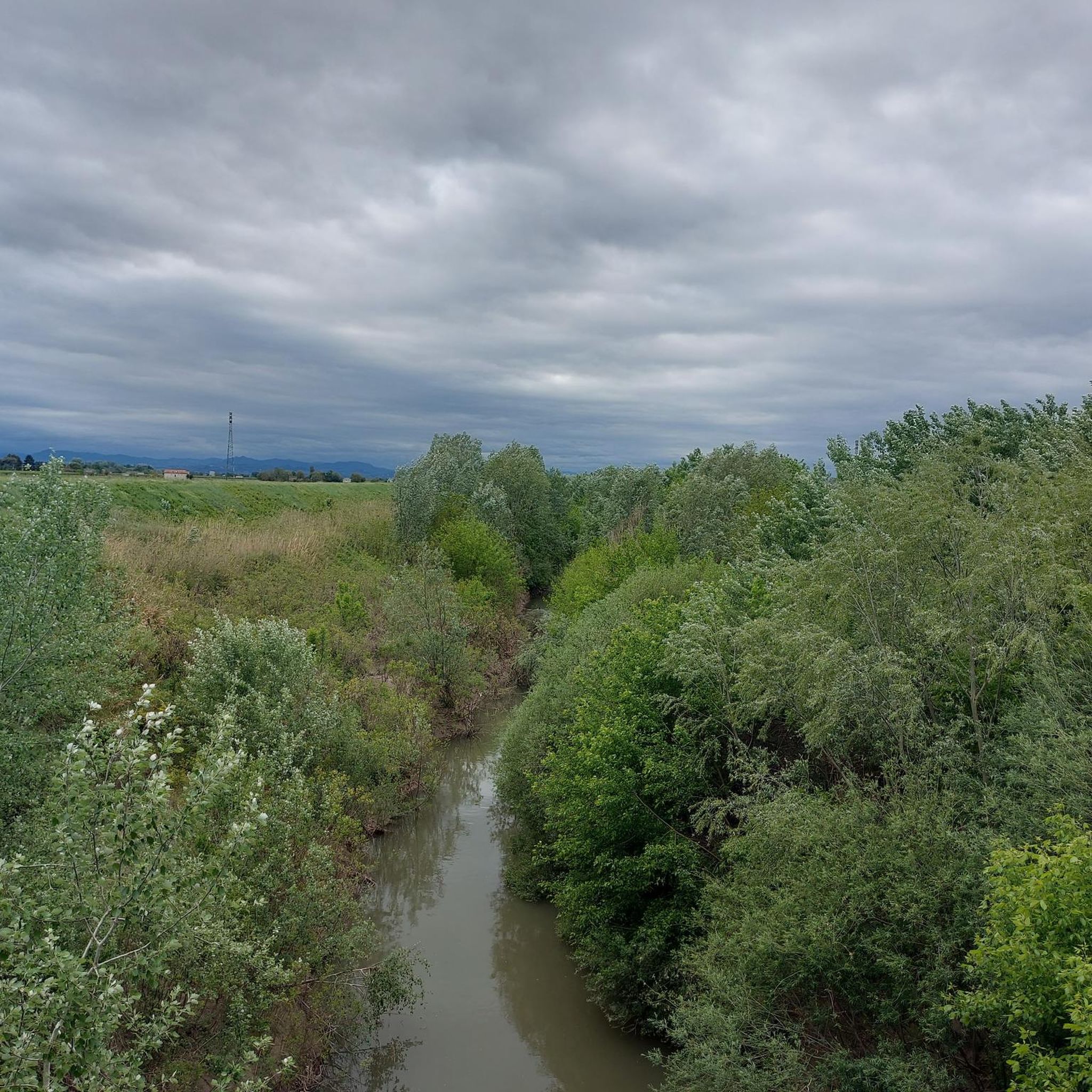
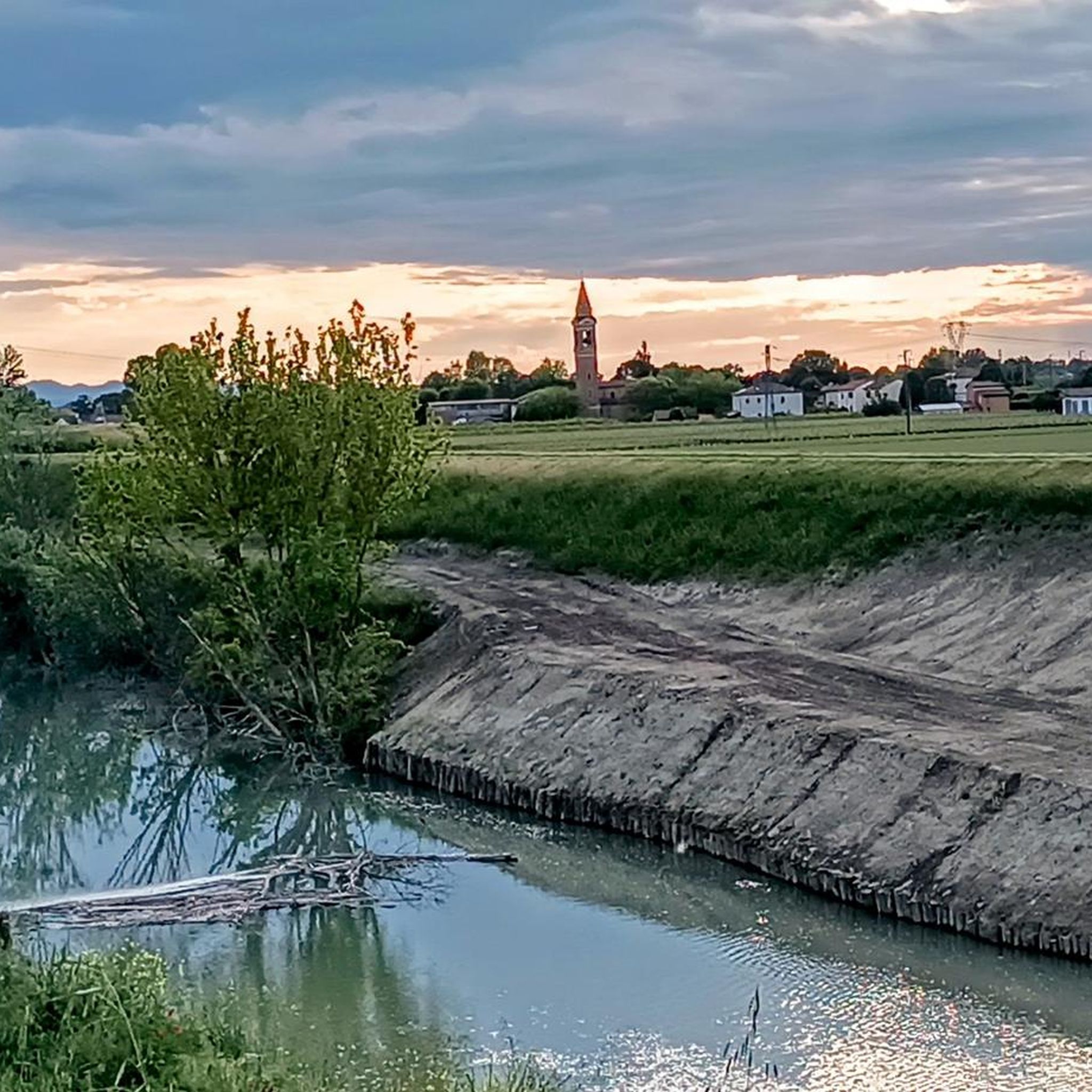
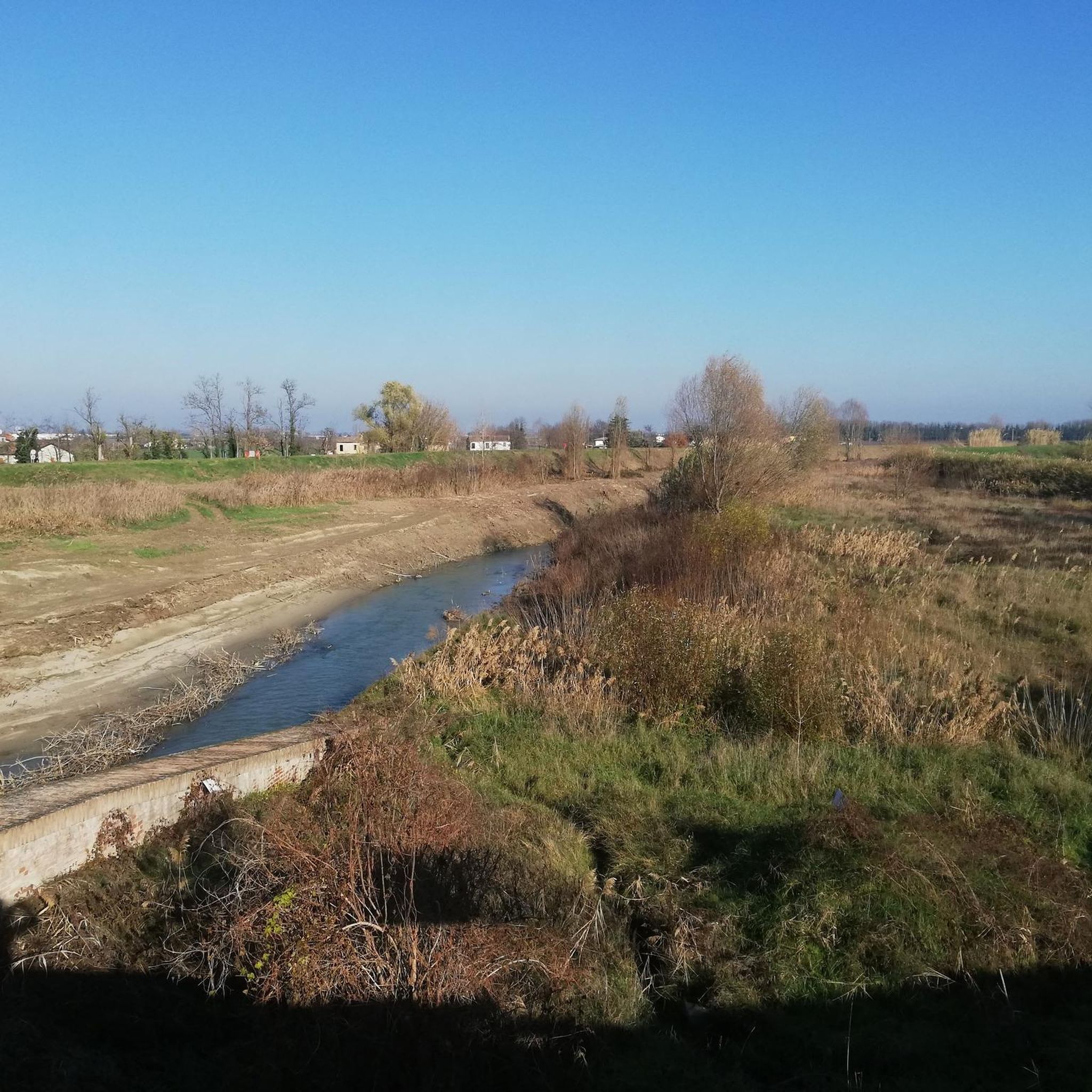
A month later this river will flood Sant'Agata sul Santerno due to the great flood in Emilia Romagna.
1
0

Frequently Asked Questions
How many hiking trails are available around Sant'Agata Sul Santerno?
There are over 60 hiking routes available in and around Sant'Agata Sul Santerno, offering a variety of experiences from gentle river walks to more extensive explorations of the Santerno Valley.
Are there easy hiking trails suitable for beginners around Sant'Agata Sul Santerno?
Yes, the area around Sant'Agata Sul Santerno is well-suited for beginners, with 47 out of 62 routes classified as easy. These trails typically feature flat terrain, often following river embankments and passing through agricultural landscapes. An example of an easy route is the Santerno River Embankment loop from Ca di Lugo.
What kind of terrain can I expect on hikes near Sant'Agata Sul Santerno?
Hikes directly around Sant'Agata Sul Santerno are characterized by gentle gradients, river embankments, and open agricultural fields. However, the wider Santerno Valley extends into more varied geological formations, including the striking gypsum crags and 'calanchi' of the Vena del Gesso Romagnola Regional Park, and the more challenging trails of the Tuscan-Romagna Apennines.
Are there any circular hiking routes in the Sant'Agata Sul Santerno area?
Yes, many routes around Sant'Agata Sul Santerno are circular. Popular options include the Santerno River Embankment loop from Sant'Agata sul Santerno, which follows the river, and the Pond of the Parco del Loto loop from Lugo, which takes you through parkland and around a local pond.
What historical sites or landmarks can I explore while hiking in the region?
The Santerno Valley is rich in history. While hiking, you can discover historical routes and ancient villages. Notable landmarks include the well-preserved medieval Rocca Sforzesca di Bagnara, the Rocca Estense di Lugo, and various historical churches like the Parish Church of Santa Maria in Fabriago and Bell Tower.
Are there any waterfalls accessible on hiking trails near Sant'Agata Sul Santerno?
While the immediate area around Sant'Agata Sul Santerno is flatter, if you venture further up the Santerno Valley towards Castel del Rio, you can find the Moraduccio Waterfall, which provides a refreshing natural attraction for hikers.
What do other hikers enjoy most about the trails near Sant'Agata Sul Santerno?
The trails around Sant'Agata Sul Santerno are highly rated by the komoot community, with an average score of 4.2 stars from over 30 reviews. Hikers often praise the tranquil experience along the Santerno River and through the local countryside, as well as the accessibility of the routes for various ability levels.
Are the hiking trails around Sant'Agata Sul Santerno suitable for families with children?
Yes, many of the trails around Sant'Agata Sul Santerno are family-friendly due to their gentle gradients and easy difficulty. Routes like the Pond of the Parco del Loto loop from Stop Music Store offer pleasant walks through parkland, ideal for families.
Is there public transport available to reach hiking trailheads in the Santerno Valley?
While Sant'Agata Sul Santerno itself is accessible, reaching specific trailheads further into the Santerno Valley might require checking local bus schedules or considering private transport. Public transport options are more limited for accessing remote hiking starting points.
Where can I find parking near the hiking trails in Sant'Agata Sul Santerno?
Parking is generally available in the towns and villages that serve as starting points for hikes, such as Sant'Agata Sul Santerno itself, Lugo, or Ca di Lugo. Specific parking information for trailheads like the Luca Ghini trail or CAI trail 705 would be found in the detailed route descriptions on komoot.
What is the best time of year to go hiking in the Sant'Agata Sul Santerno area?
The area is pleasant for hiking during spring and autumn when temperatures are mild and the natural scenery is vibrant. Summer can be warm, making early morning or late afternoon hikes preferable. Winter offers a different perspective, though some higher trails in the Apennines might require more preparation.
Are there any hidden gem hikes or less-known trails to explore?
Beyond the main river and park loops, the wider Santerno Valley, particularly within the Vena del Gesso Romagnola Regional Park, offers trails leading to secret corners and almost-forgotten places, such as abandoned villages like Castiglioncello, providing a unique glimpse into the region's past.
Most popular routes around Sant'Agata Sul Santerno
Most popular attractions around Sant'Agata Sul Santerno

Get inspired with the komoot mobile app


Explore more
Browse the best Hikes in other regions.
