The best walks and hikes around Halkær Sø
5.0
(3)
28
hikers
4
hikes
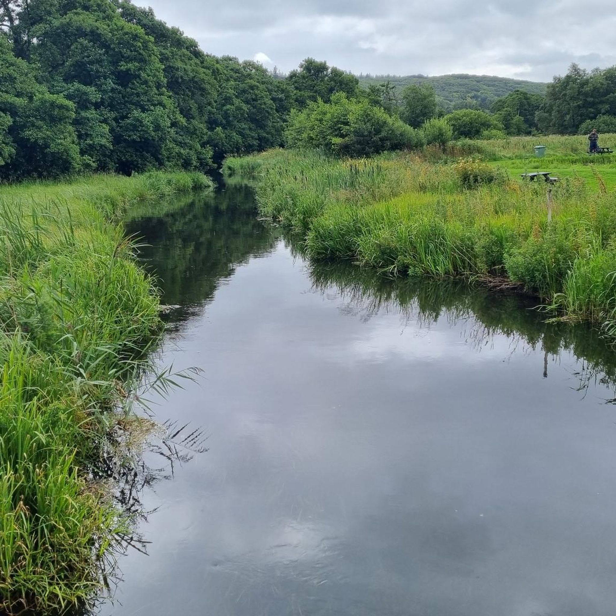
Hiking around Halkær Sø offers diverse landscapes within the Halkær Ådal, a river valley featuring the re-established Halkær Sø wetland. The region is characterized by a blend of natural beauty, including forests, open fields, and the central lake. Hikers can experience varied terrain, from wooded areas to open landscapes, with some routes leading to elevated, hilly areas that provide panoramic views over Halkær Sø.
Best hiking trails around Halkær Sø
- The most popular hiking route is Sebbersund – Halkær Skov loop from Vegger, a 10.6 miles (17.0 km) moderate trail that takes 4 hours 22 minutes to complete. This route explores the varied landscapes around Halkær Bredning.
- Another top favourite among local hikers is Hiking loop from Vegger, an easy 1.1 miles (1.7 km) path. This trail offers a gentle walk through the local countryside.
- Local hikers also love the Huul Mølle loop from Nibe, a 3.9 miles (6.3 km) trail leading through varied terrain, often completed in about 1 hour 43 minutes.
- Hiking around Halkær Sø is defined by its diverse landscapes, including wetlands, forests, and open fields. The network offers options for different ability levels, from easy strolls to moderate excursions.
- The routes in Halkær Sø are highly rated by the komoot community with an average score of 4.5 stars from over 4 reviews. More than 40 hikers have used komoot to explore Halkær Sø's varied terrain.
Last updated: June 25, 2026
2
hikers
1.74km
00:28
20m
20m
Easy hike. Great for any fitness level. Easily-accessible paths. Suitable for all skill levels.
3
hikers
8.39km
02:09
40m
40m
Moderate hike. Good fitness required. Easily-accessible paths. Suitable for all skill levels.

Sign up for free
5.0
(3)
8
hikers
6.25km
01:39
60m
60m
Easy hike. Great for any fitness level. Easily-accessible paths. Suitable for all skill levels.
4
hikers
6.33km
01:43
90m
90m
Easy hike. Great for any fitness level. Easily-accessible paths. Suitable for all skill levels.
4
hikers
3.35km
00:53
30m
30m
Easy hike. Great for any fitness level. Easily-accessible paths. Suitable for all skill levels.
Our route recommendations are based on thousands of hikes, rides, and runs completed by other people on komoot.
Start today with a free account
Your next adventure awaits.
Login or Signup
Popular around Halkær Sø

Tips from the Community

Skalskoven, the forest on the outskirts of Nibe, is perfect for a break in nature. Whether you want to go hiking or jogging or are out on your mountain bike. There is also a playground.
0
0

Huul Mølle is worth a visit for its historic charm and beautiful natural surroundings. The old watermill sits in a peaceful landscape near Halkær Sø, offering scenic views, rich birdlife, and a glimpse into the region’s cultural heritage.
1
1

a bridge leads over the access to the marina
2
0
Bathing area with a jetty extending far into the fjord
2
0
Sculpture created by Niber artist Thorvald Odgaard
2
0
A church at this location is first mentioned in documents in the first half of the 14th century.
2
0

Always accessible
0
0

Frequently Asked Questions
What kind of landscapes can I expect to see while hiking around Halkær Sø?
The Halkær Sø area, situated within the Halkær Ådal, offers a diverse range of landscapes. You'll encounter a mix of forests, open fields, and the central Halkær Sø itself, which is a significant wetland. Some routes also lead to elevated points, providing beautiful panoramic views over the lake and its surroundings.
Are there trails suitable for families with children?
Yes, Halkær Sø offers trails suitable for various ages and fitness levels. For a gentler option, the 4 km Hiking loop from Vegger is an easy path through the local countryside. The Halkær Banestien Nord (Blue Route) is also an easier 4 km trail, much of which is paved, making it accessible for a family outing.
Can I bring my dog on the hiking trails?
The trails around Halkær Sø are generally dog-friendly. However, it's always recommended to keep dogs on a leash, especially in areas with wildlife or near livestock, to protect the local ecosystem and ensure a pleasant experience for all visitors.
When is the best time of year to hike around Halkær Sø?
Halkær Sø is a beautiful destination year-round. Spring and summer offer vibrant wildflowers and active birdlife, while autumn brings colorful foliage. The trails are generally well-maintained, making them accessible in most seasons, though conditions can vary with weather.
Are there any circular hiking routes available?
Yes, there are several circular routes. For a longer excursion, consider the 17 km Halkær Bredning Rundt, which explores the surroundings of Halkær Bredning. A shorter, easy option is the Hiking loop from Vegger, which is 5.3 km. Another popular circular trail is the Huul Mølle loop from Nibe, covering 6.3 km.
What natural features or landmarks can I see along the trails?
The area is rich in natural beauty and cultural history. You can observe the diverse birdlife around Halkær Sø, which is a significant wetland. The Halkær Cultural Historical Route offers views over the lake and passes by cultural sites. You might also encounter the ancient castle mound of Halkær Voldsted, which now serves as a shelter site.
Are there facilities like parking or public transport access for the trails?
Parking is generally available at various starting points for the trails around Halkær Sø. While specific public transport options directly to all trailheads might be limited, the area is best accessed by car. For detailed information on specific parking locations, it's advisable to check local signage or maps for the individual trail you plan to hike.
What are the typical lengths and durations of hikes in the area?
Hikes around Halkær Sø vary in length and duration. You can find shorter, easy walks like the 5.3 km Hiking loop from Vegger, which takes about 1 hour 28 minutes. For a more extensive outing, the Sebbersund – Halkær Skov loop from Vegger is 17 km and typically takes around 4 hours 22 minutes.
What do other hikers enjoy most about the trails around Halkær Sø?
The trails around Halkær Sø are highly rated by the komoot community, with an average score of 4.3 stars. Hikers often praise the diverse landscapes, including the wetlands, forests, and open fields, as well as the well-maintained network of paths that offer options for different ability levels.
Are there any places to eat or picnic spots near the hiking trails?
Yes, near Halkær Sø, you can find the Halkær Mølle Naturcenter, which features an exhibition about the area's history and nature, and also provides a picnic house for visitors. This is a convenient spot to rest and enjoy a packed meal.
Are there any easy trails suitable for beginners?
Absolutely. For beginners or those seeking a relaxed walk, the Hiking loop from Vegger is an easy 5.3 km path. Additionally, the Halkær Banestien Nord (Blue Route) is an easier 4 km trail that is partly paved, making it very accessible.
What kind of wildlife can I spot around Halkær Sø?
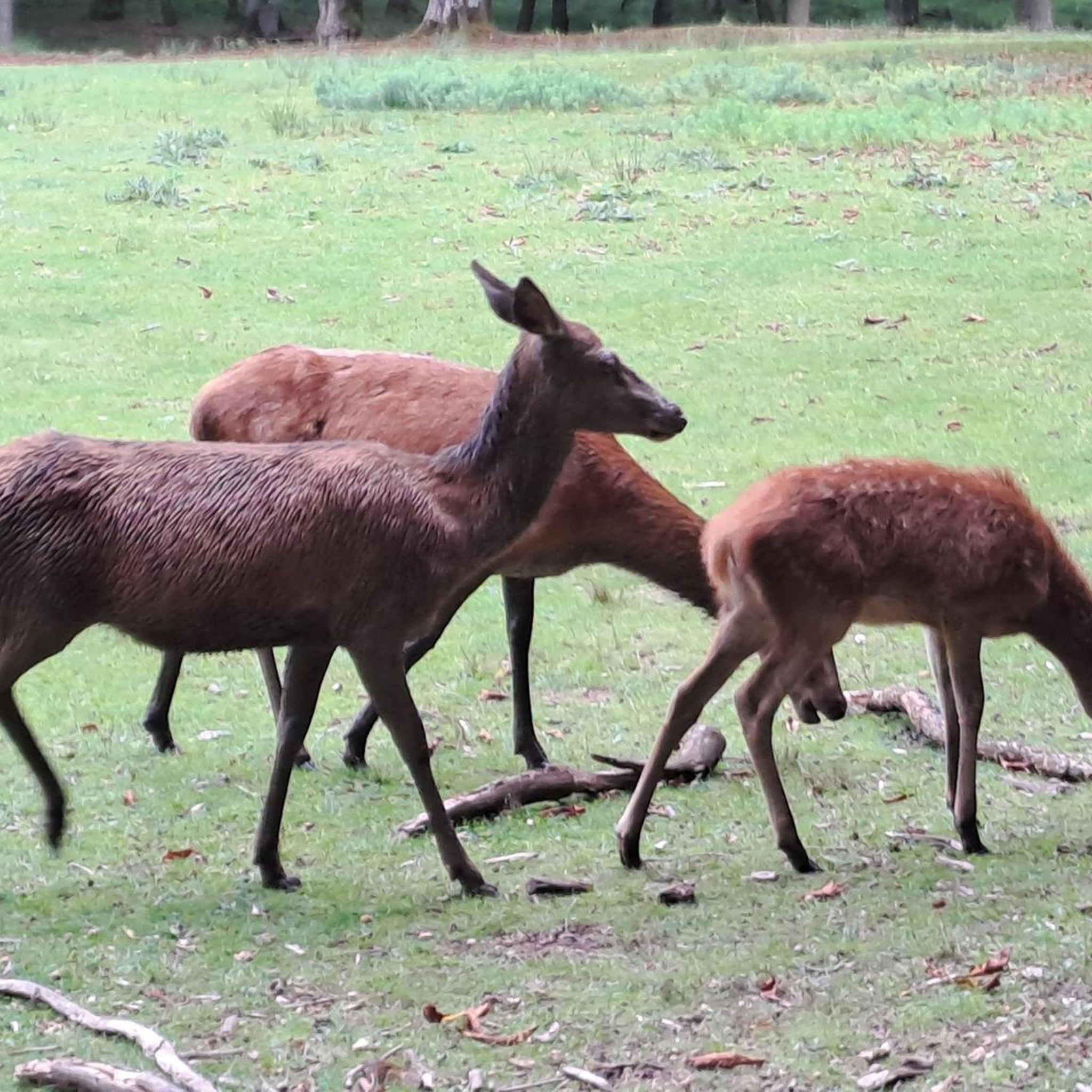
Halkær Sø is a haven for birdlife due to its recreated wetland environment. Birdwatchers can spot a variety of species, including grebes, ducks, swans, and even nesting kestrels in the wetland areas. The diverse habitats also support other local wildlife.
Most popular routes around Halkær Sø

Get inspired with the komoot mobile app


Explore more
Browse the best Hikes in other regions.
