The best mountain hikes around Forstenrieder Park
16
hikers
6
hikes
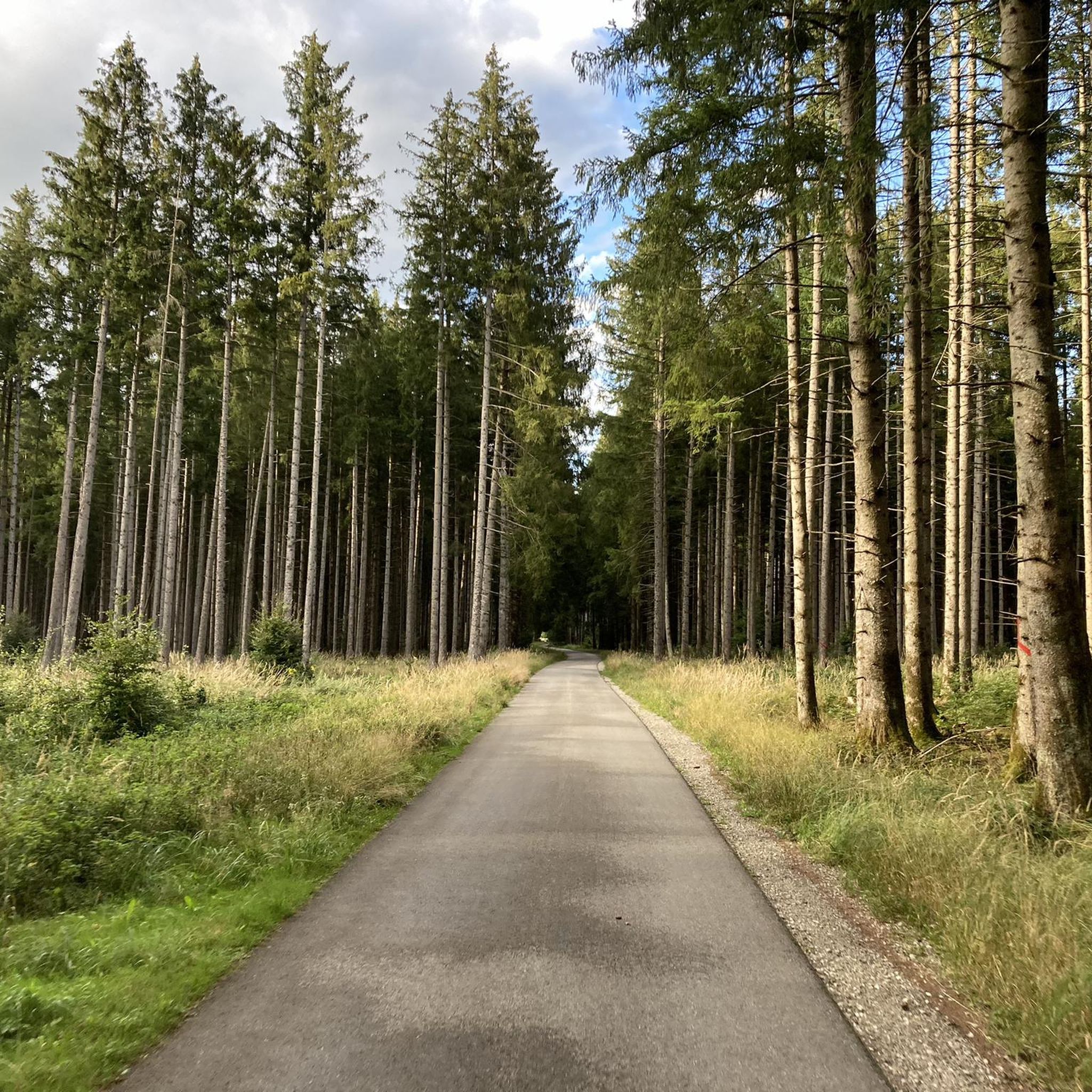
Mountaineering routes around Forstenrieder Park primarily involve strenuous hiking and hillwalking through an extensive forest landscape southwest of Munich. The park features a diverse arboreal environment with conifers and mixed forest areas, forming part of Munich's green belt. While not traditional technical alpinism, routes here offer elevation gains up to 1,000 feet (300 meters) and follow forest trails, providing a vigorous outdoor experience.
Best mountaineering routes around Forstenrieder Park
- The most popular mountaineering route is Raue Rampe (Fischtreppe) – Isartalblick…
Last updated: June 24, 2026
4
hikers
Moderate mountaineering route. Good fitness required. Easily-accessible paths. Suitable for all skill levels.
11.5km
03:02
110m
110m
Moderate mountaineering route. Good fitness required. Easily-accessible paths. Suitable for all skill levels.

Sign up for free
1
hikers
13.4km
03:31
100m
100m
Moderate mountaineering route. Good fitness required. Easily-accessible paths. Suitable for all skill levels.
1
hikers
Moderate mountaineering route. Good fitness required. Easily-accessible paths. Suitable for all skill levels.
8
hikers
Moderate mountaineering route. Good fitness required. Easily-accessible paths. Suitable for all skill levels.
Our route recommendations are based on thousands of hikes, rides, and runs completed by other people on komoot.
Start today with a free account
Your next adventure awaits.
Login or Signup
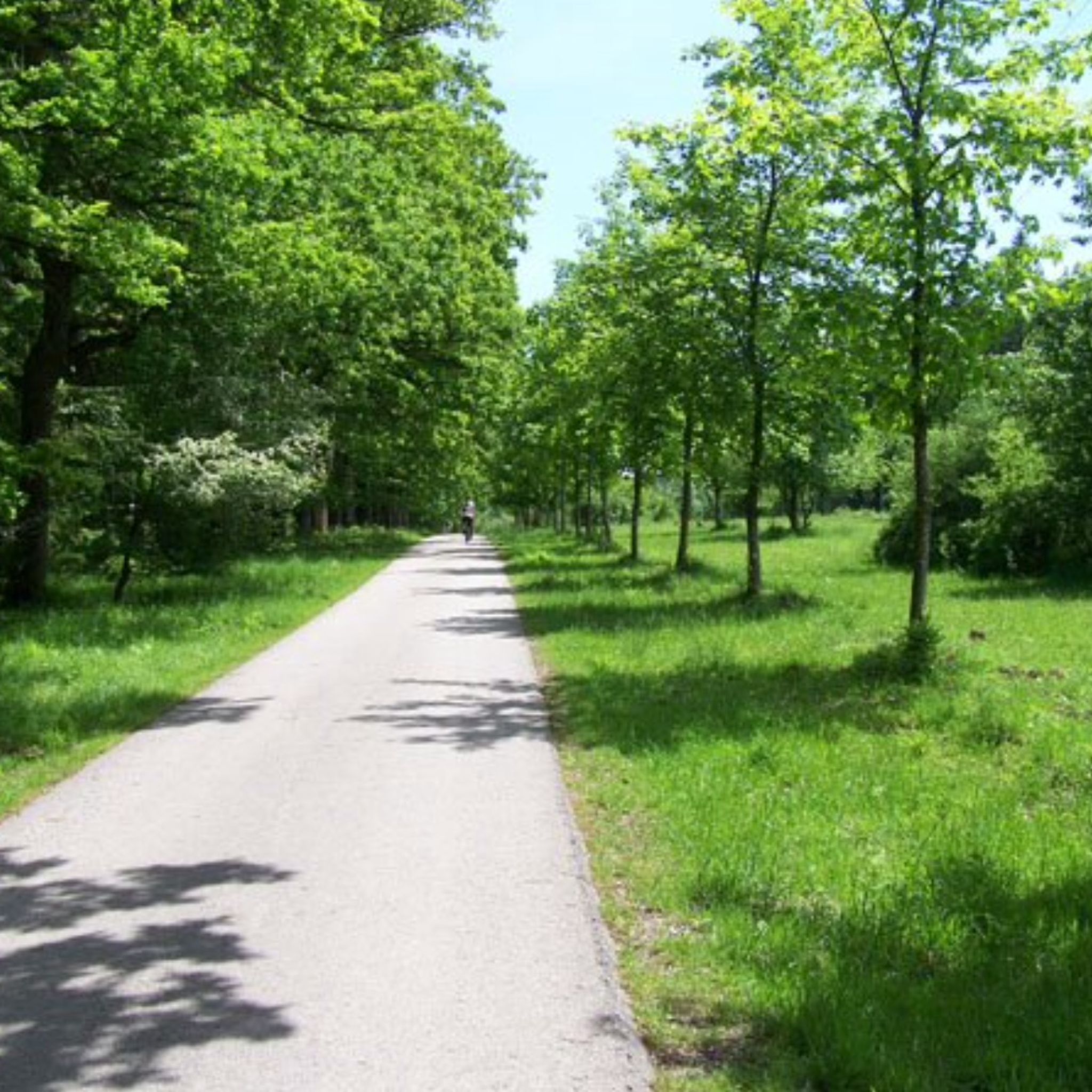
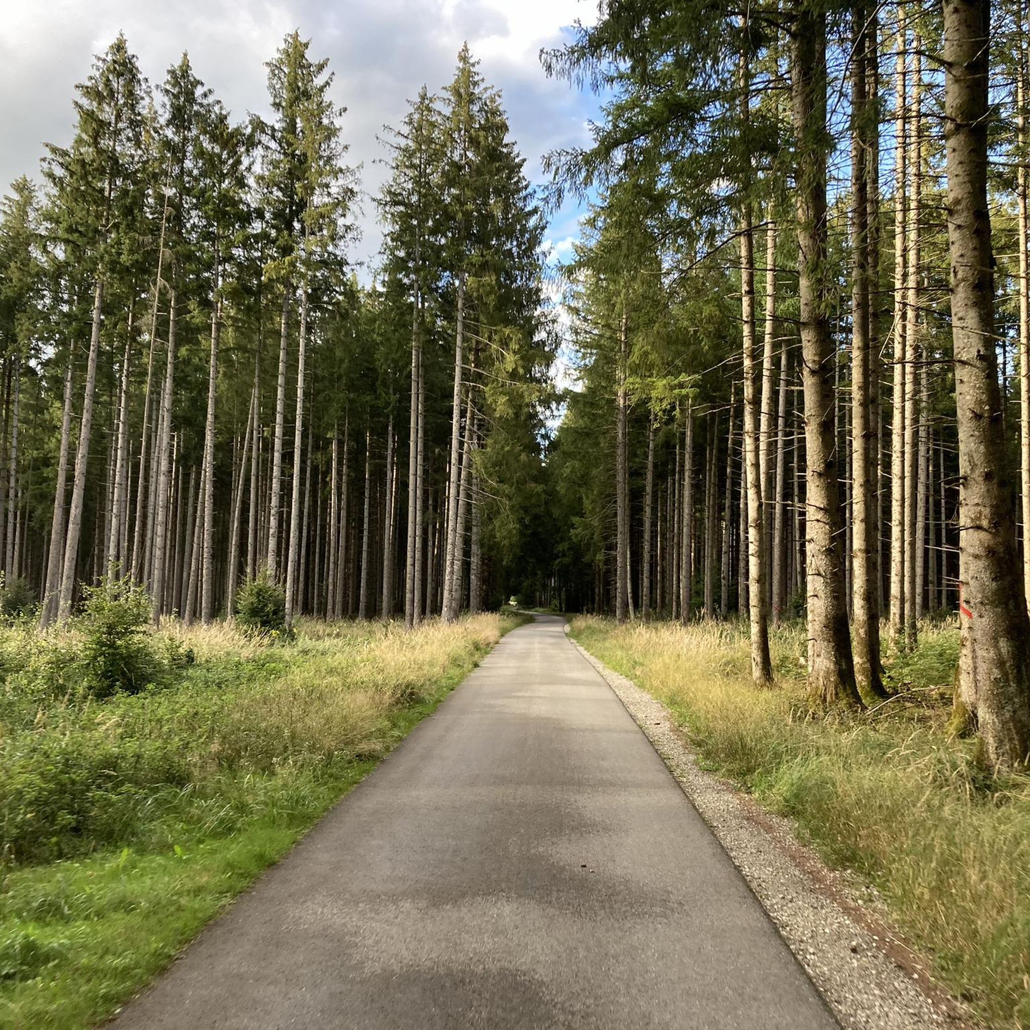
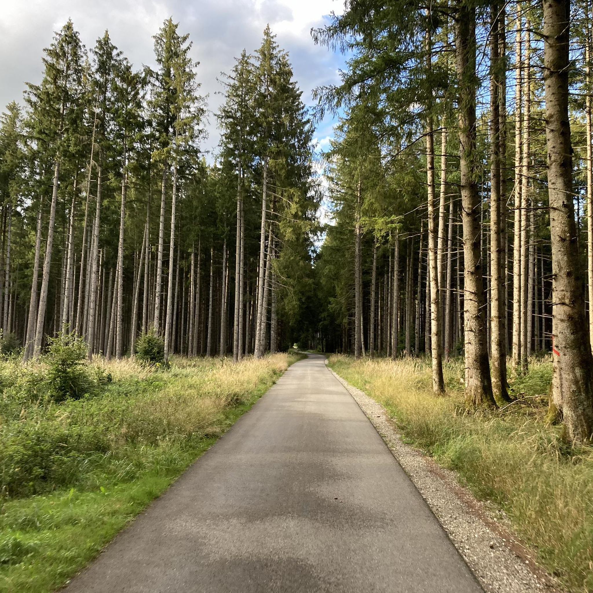
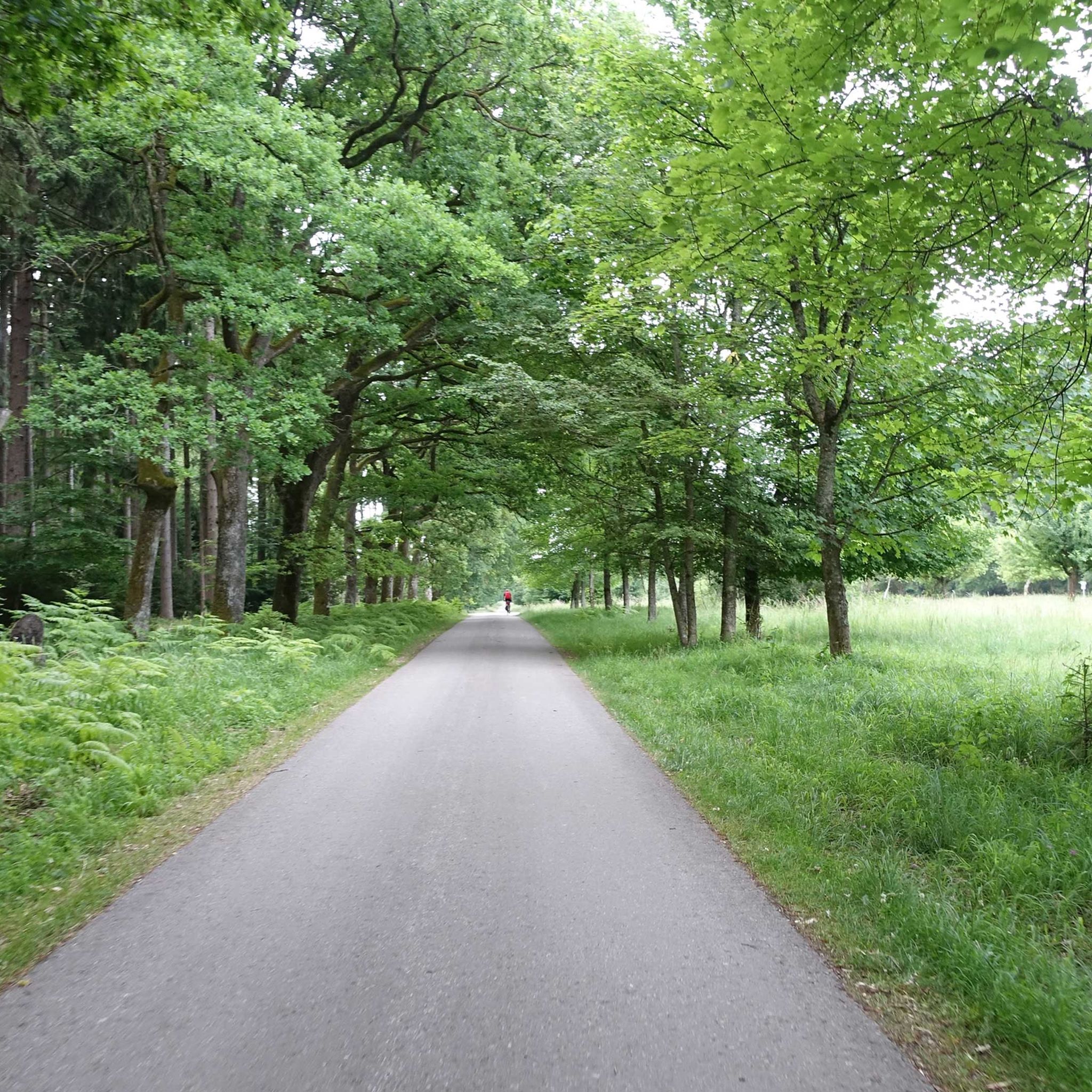
Tips from the Community

It's a great place for hiking.
0
0

Beautiful sculpture in front of Lake Starnberg
2
0
Beautiful view through the monument across Lake Starnberg to the mountains.
1
0

Nagelfluh is a rather strange rock that doesn't fit into the usual classification and is by no means a typical sediment. In fact, it's simply gravel that has solidified over extremely long periods of time, not through the usual geological processes, nor through pressure, but purely chemically and solely through the infiltration of calcareous water! Depending on how complete this chemical bonding has been so far, the rock is somewhat porous and sometimes somewhat crumbly. The components of Nagelfluh are incredibly diverse, just like the pebbles and boulders found in ordinary streams and rivers or gravel pits.
0
1


The few who want to "tile" and "board" over this wooden track should perhaps look for another route - out of consideration for others...😉
4
0
Frequently Asked Questions
How many mountaineering routes are available in Forestenrieder Park?
This guide features 6 dedicated mountaineering routes around Forestenrieder Park, all categorized as moderate in difficulty. These routes offer a vigorous outdoor experience through the park's extensive forest landscape.
What kind of terrain can I expect on mountaineering routes in Forestenrieder Park?
The routes primarily involve strenuous hiking and hillwalking through an extensive forest landscape, characterized by diverse arboreal environments with conifers and mixed forest areas. While not traditional technical alpinism, you can expect forest trails with elevation gains up to 1,000 feet (300 meters) on some routes, and up to 3,000 feet (900 meters) on more challenging paths, requiring good fitness and sure-footedness.
Are there any circular mountaineering routes in the park?
Yes, many of the routes in Forestenrieder Park are circular. For example, you can explore the Raue Rampe (Fischtreppe) – Isartalblick aufs Stauwehr loop from Höllriegelskreuth, the Icking Weir – Isar Power Canal loop from Kloster Schäftlarn, or the Schloss Leutstetten – Villa Rustica Leutstetten loop from Starnberg, all designed as loops for convenient exploration.
Can I bring my dog on the mountaineering trails?
Forestenrieder Park is generally dog-friendly, and many visitors enjoy walking their dogs on the trails. However, it's always recommended to keep your dog on a leash, especially in areas where wildlife is present, such as near the Forstenried Wildlife Park, to ensure the safety of both your pet and the local fauna.
Are the routes suitable for families with children?
While the routes are described as 'strenuous hiking and hillwalking,' Forestenrieder Park offers a range of paths. Some trails are easier and accessible, suitable for families. For more challenging routes with elevation gains up to 3,000 feet, good fitness and sure-footedness are required, which might be more suitable for older children or those accustomed to longer hikes. The park's extensive forest and wildlife viewing opportunities can be enjoyable for families.
What natural features or landmarks can I see along the routes?
Along the routes, you can discover several natural monuments and points of interest. These include the Yellow House Rest Area and Memorial, the serene 8er Lacke Pond and Drinking Fountain, and the impressive Neurieder Straßl Oak Avenue. You might also encounter the Royal Oaks in Wiesmat, offering a glimpse into the park's diverse arboreal landscape.
Is there wildlife to observe in Forestenrieder Park?
Yes, Forestenrieder Park is home to a significant amount of wildlife. The Forstenried Wildlife Park, a fenced area within the forest, allows visitors to observe native wild animals in their natural habitat, including wild boars, roe deer, stags (red and fallow deer), hares, foxes, polecats, and badgers. Several covered observation points are available for better viewing opportunities.
What is the best time of year to go mountaineering in Forestenrieder Park?
Forestenrieder Park is a beautiful destination year-round. Spring and autumn offer pleasant temperatures and vibrant foliage, making them ideal for hiking. Summer provides lush greenery, though it can be warmer. Even in winter, the forest trails can be explored, offering a peaceful, snow-covered landscape, though conditions may require appropriate gear.
What makes the mountaineering routes in Forestenrieder Park unique?
The routes in Forestenrieder Park are unique for their extensive forest trails, the presence of the Wild Isar River, and gentle elevation changes within a natural setting. They offer a vigorous outdoor experience that combines the tranquility of a sprawling forest with opportunities for wildlife observation, making it a vital recreational area for Munich's population.
Are there any routes that offer views of the Isar River?
Yes, some routes provide scenic views of the Isar River. For instance, the popular Raue Rampe (Fischtreppe) – Isartalblick aufs Stauwehr loop from Höllriegelskreuth offers views of the Isar River valley, and the Icking Weir – Isar Power Canal loop from Kloster Schäftlarn winds through forested areas alongside the river.
What is the distinction between 'mountaineering' in Forestenrieder Park and traditional alpinism?
It's important to clarify that 'mountaineering' in Forestenrieder Park refers to strenuous hiking or hillwalking. While routes can involve significant elevation gains and require good fitness, they do not involve the technical skills, specialized equipment (like ropes or ice axes), or high-alpine conditions (rock faces, glaciers) associated with traditional alpinism or mountaineering. The terrain consists of forest trails, not the geological features of high mountains.
How can I access the mountaineering routes using public transport?
While specific public transport details for each trailhead are not provided in the guide, Forestenrieder Park is located southwest of Munich. Many areas of the park are accessible via Munich's public transport network (MVV), often involving a combination of S-Bahn and bus services to reach trailheads or nearby villages. It's advisable to check local transport schedules for the most convenient access points.
Where can I park my car when visiting Forestenrieder Park for mountaineering?
Forestenrieder Park is a popular recreational area, and parking is generally available at various entry points and trailheads around its perimeter. Specific parking information for individual routes is not detailed in this guide, but visitors often find designated parking areas in nearby villages or at popular access points to the park. Arriving early on pleasant weekends is recommended due to high visitor numbers.
Most popular routes around Forstenrieder Park
Most popular attractions around Forstenrieder Park

Get inspired with the komoot mobile app


Explore more
Browse the best Mountain Hikes & Routes in other regions.
