The best waterfall hikes and walks in Weimarer Land
4.6
(11327)
51,439
hikers
6
hikes
Waterfall hiking trails in Weimarer Land traverse a landscape characterized by gently rolling hills, expansive valleys, and lush mixed forests. The region is shaped by the scenic Ilm Valley and features the northern reaches of the Thuringian Forest, including the Riechheimer Berg. Hikers can explore diverse terrain, from the less hilly Thüringer Becken in the north to areas around the Hohenfelden Reservoir, which contribute to the network of trails and offer opportunities to discover natural water features.
Best waterfall hiking…
Last updated: October 12, 2026
4.4
(25)
74
hikers
Moderate hike. Good fitness required. Easily-accessible paths. Suitable for all skill levels.
4.6
(9)
16
hikers
Easy hike. Great for any fitness level. Easily-accessible paths. Suitable for all skill levels.

4.2
(5)
14
hikers
Easy hike. Great for any fitness level. Easily-accessible paths. Suitable for all skill levels.
4.6
(5)
23
hikers
8.14km
02:16
150m
150m
Moderate hike. Good fitness required. Easily-accessible paths. Suitable for all skill levels.
3.7
(3)
6
hikers
Easy hike. Great for any fitness level. Easily-accessible paths. Suitable for all skill levels.
Our route recommendations are based on thousands of hikes, rides, and runs completed by other people on komoot.
Start today with a free account
Your next adventure awaits.
Popular around Weimarer Land
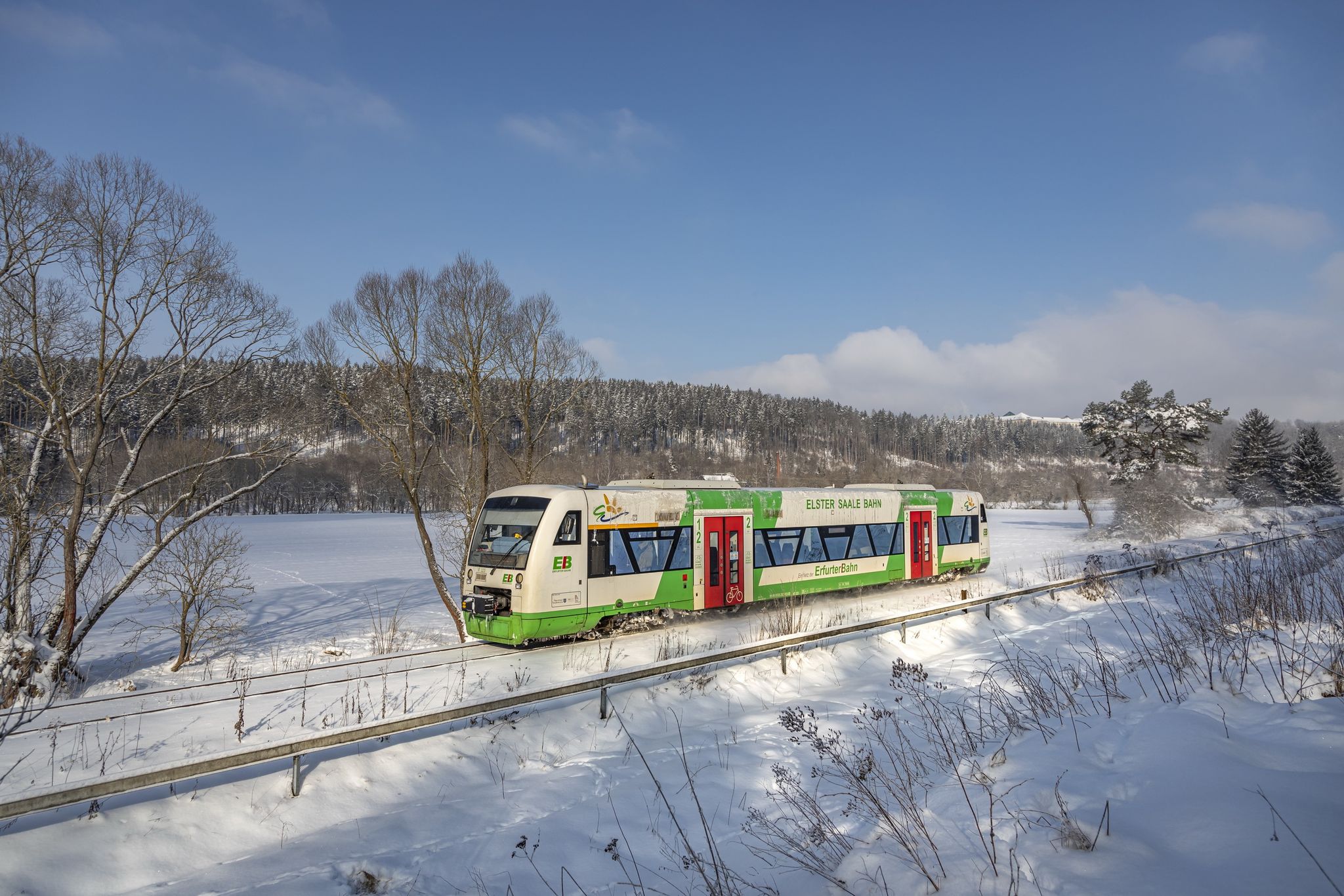
Discover Thuringia – winter hiking with the Erfurter Bahn
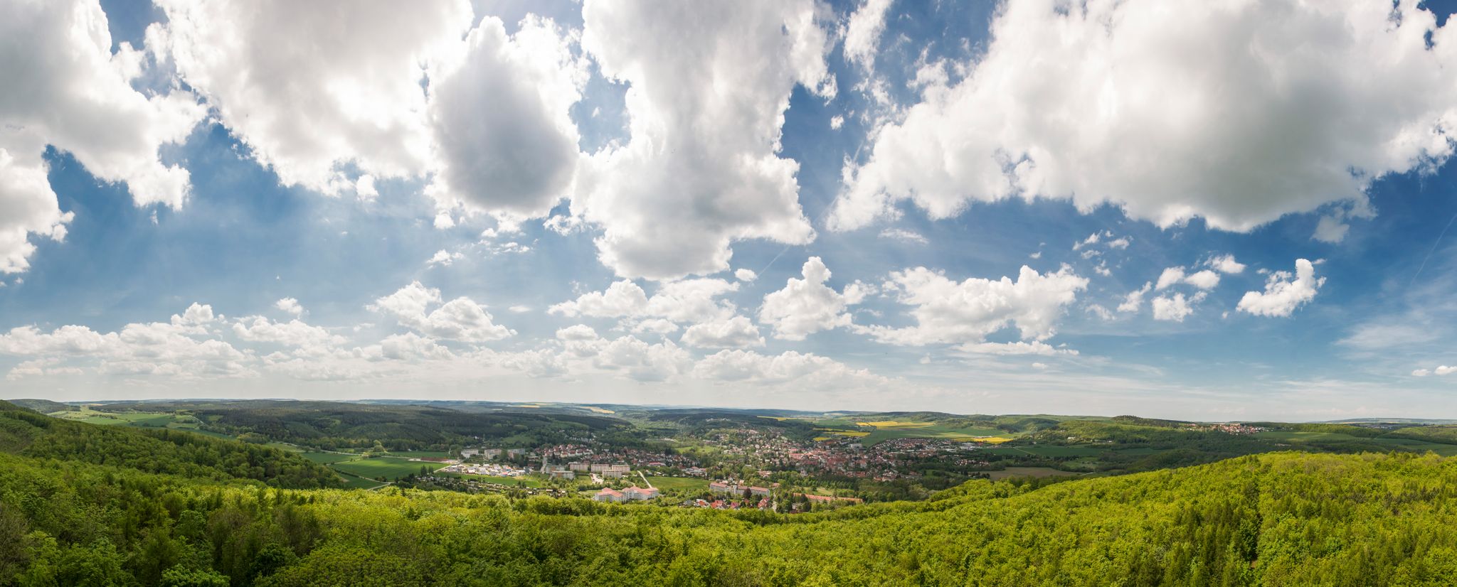
Beautifully varied hikes around Bad Berka
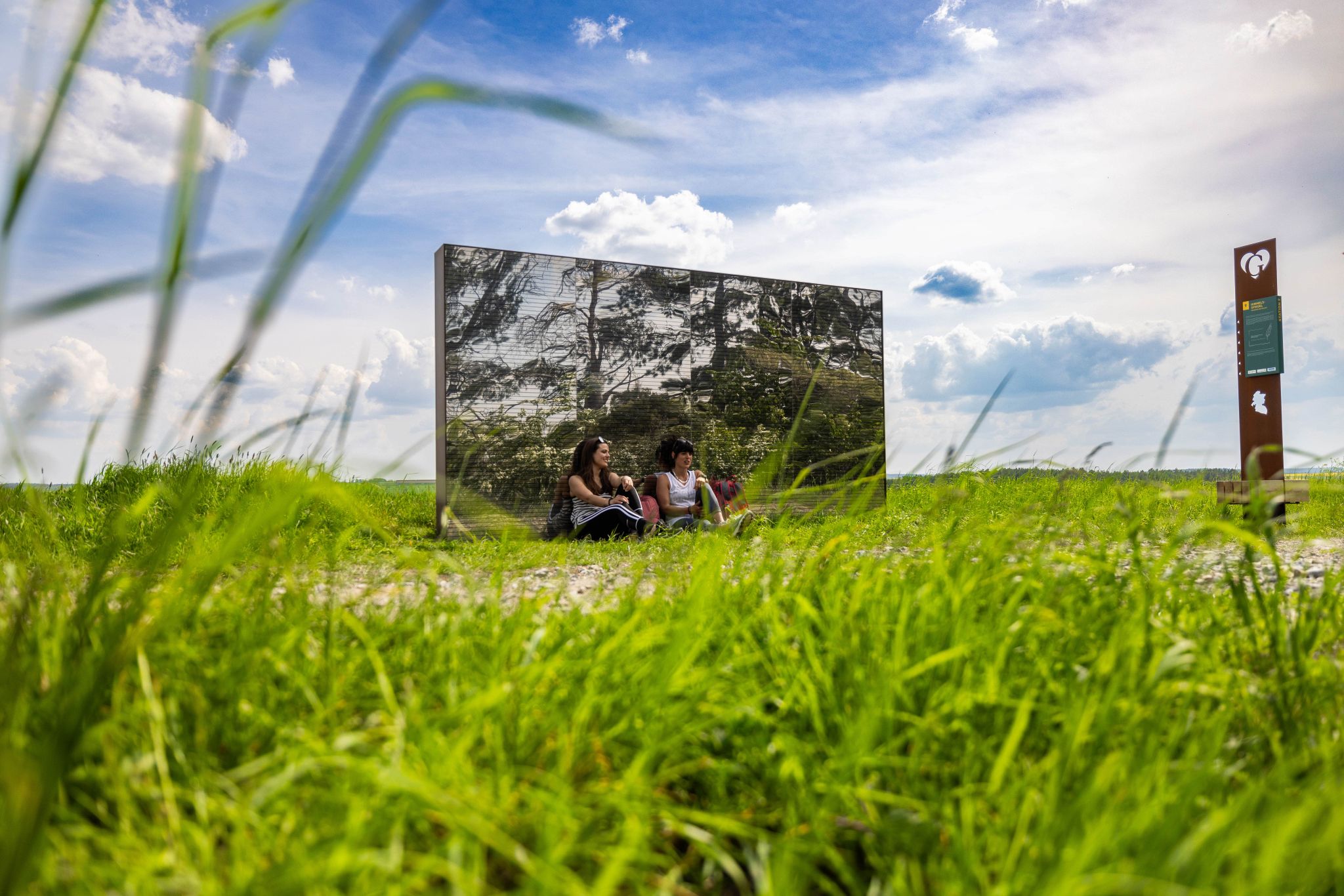
On the Goethe Adventure Trail through Germany’s Weimarer Land
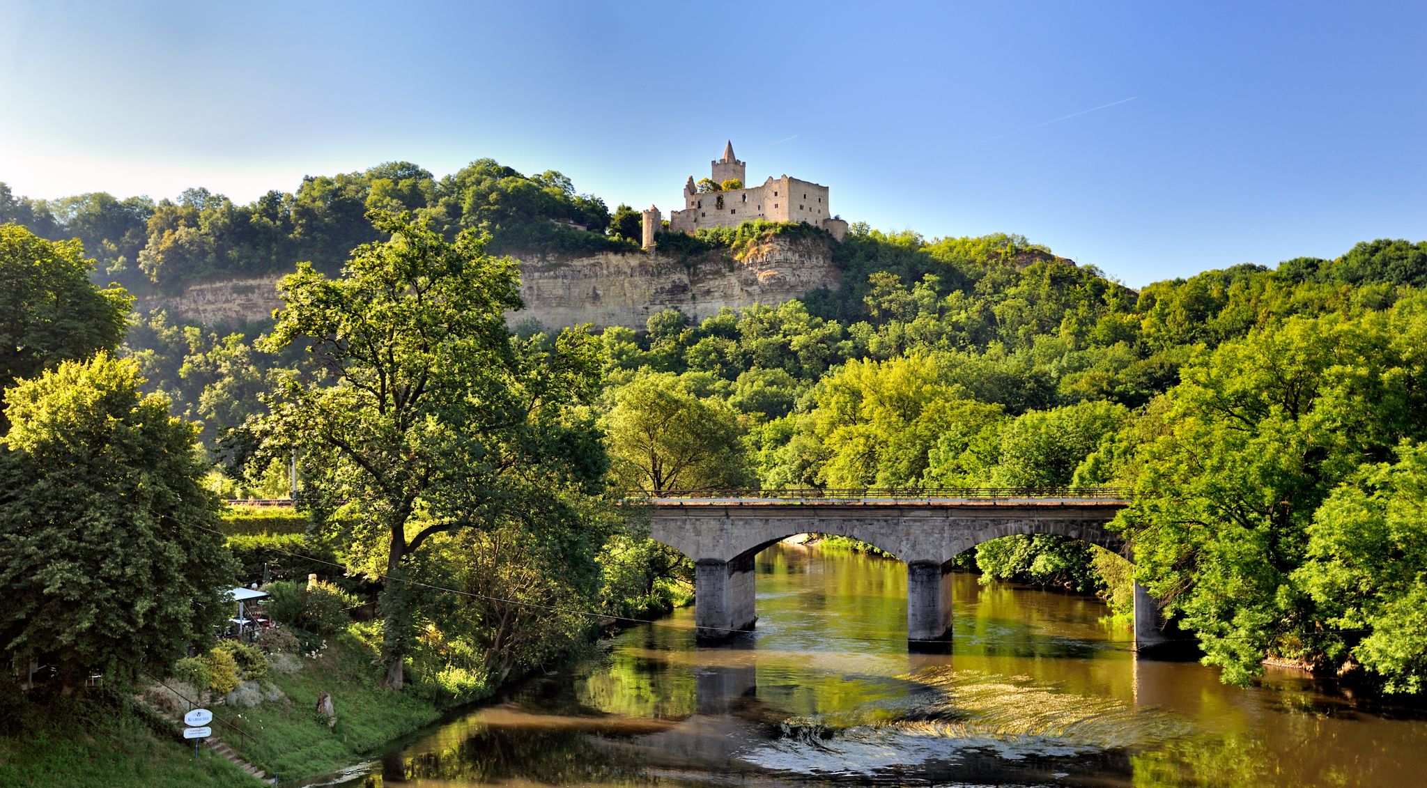
The 10 most beautiful hikes between Germany’s Saale and Unstrut rivers

Around Thuringia — 7 stages through Germany's green heart
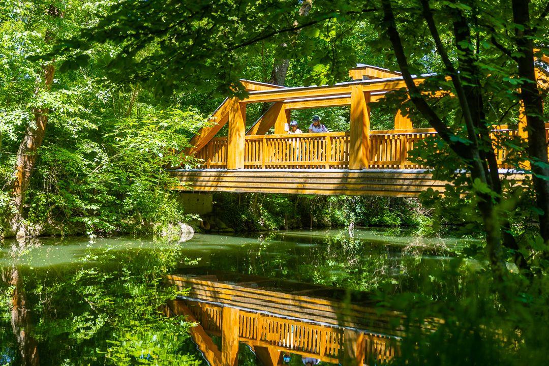
Ilm Valley cycle path – 4 stages through Thuringia
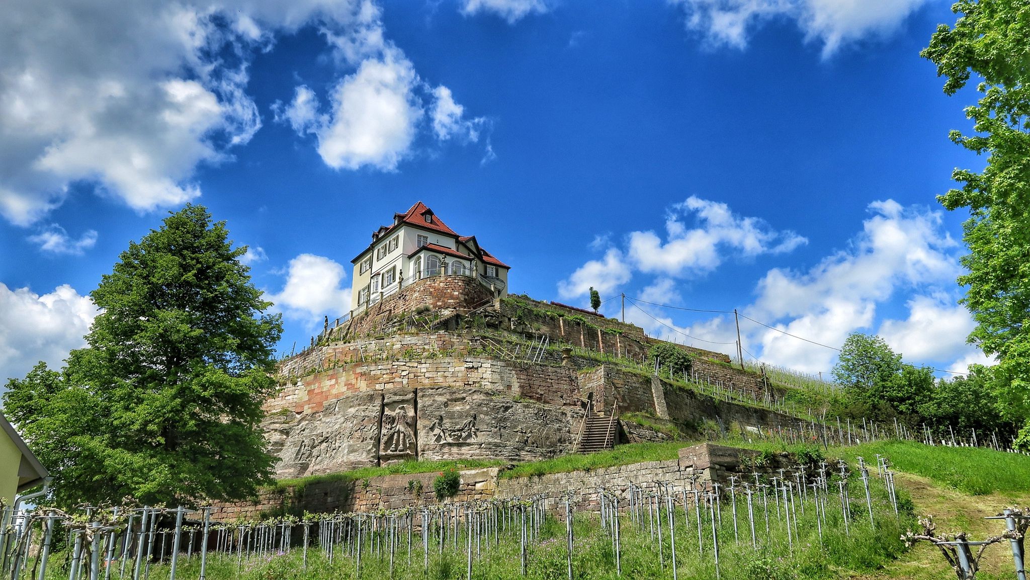
Ilmtal and Unstrut cycle paths – discover Thuringia in Germany by bike

33 lakes for sunny weekends

The most popular swimming spots in Thuringia
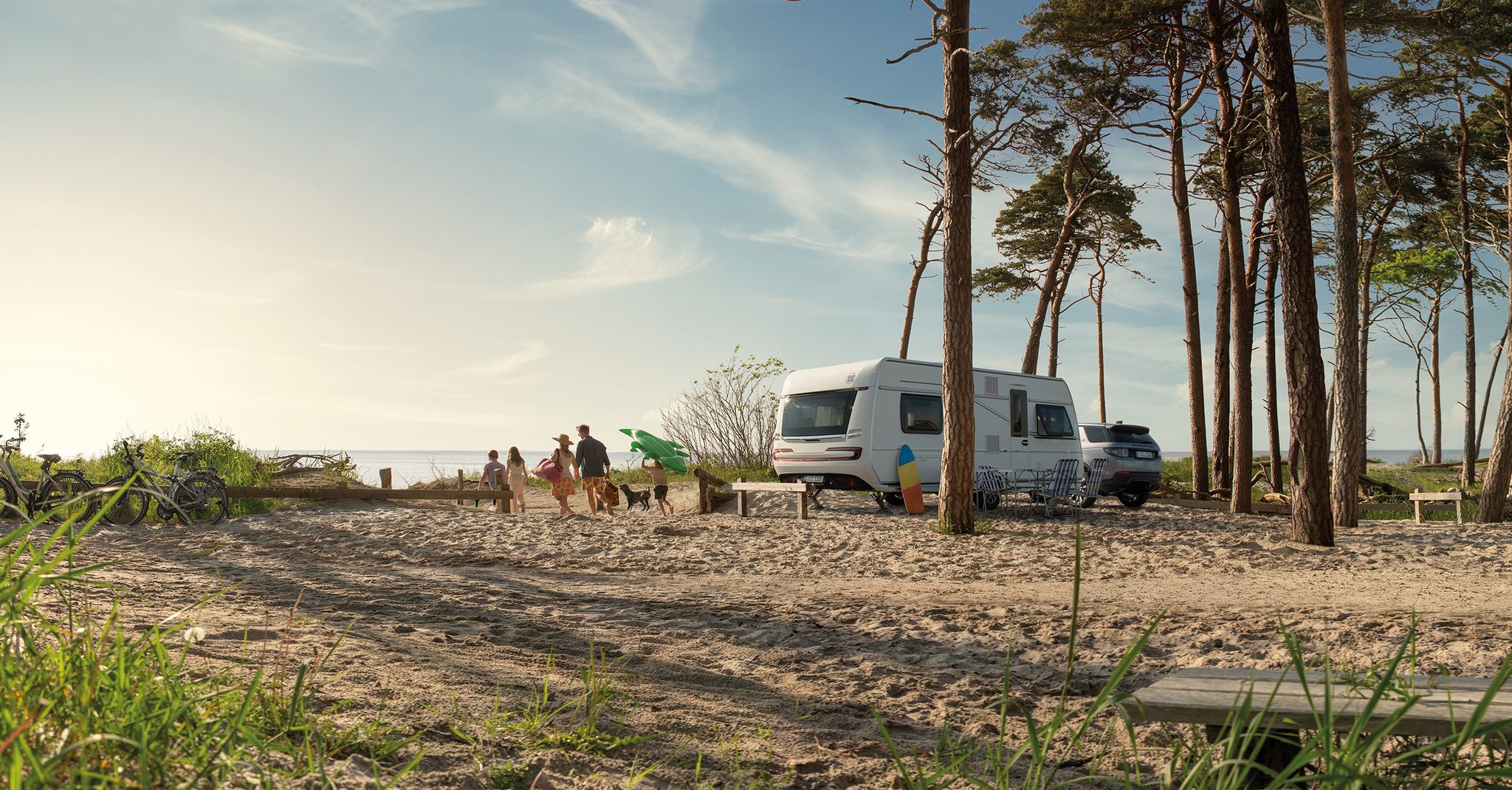
Dein Caravaning-Abenteuer – Touren direkt ab dem Campingplatz
Other adventures in Weimarer Land


Tips from the Community

Closed for renovation from 2024 until presumably 2027 (with public construction projects, you never know!). Since the Alte Schloss can no longer be visited at all, only the Rokoko-Schloss remains.
0
0

Always worth a trip (stay)... Delicious ice cream, cakes, drinks, gifts and everything your heart desires.
0
0
Great place with great cake, delicious beer and great people! Definitely stop and enjoy
0
0
A small, fine place to stop, strengthen and browse, as well as to chat, chatter and breathe. It is beautiful here. Pro tip: a short registration secures a piece of cake.
1
0

Stop for juice and cake... And of course coffee, ice cream and other delicacies. Open from Saturday 8 am.
2
0

I can only confirm the last comment! Currently, no hiking or forest path is recognizable! We had to push through the undergrowth, slide down one slope, climb over fallen trees, and then climb back up another slope to get back on the right track!
1
0
Currently no hiking or forest path recognizable!
0
0

No. 199 of the Thuringia stamp is located on the Saale Horizontale.
8
0
Frequently Asked Questions
How many waterfall hiking trails are available in Weimarer Land?
Weimarer Land offers a selection of 7 dedicated waterfall hiking trails. These routes vary in difficulty, providing options for different experience levels.
Are there easy waterfall hikes suitable for beginners or families?
Yes, there are several easy waterfall hikes. For instance, the View from Burgschädel – Waterfall on the Röderbach loop from Verwaltungsgemeinschaft Dornburg-Camburg is an easy 6.4 km (4.0 miles) trail that takes approximately 1 hour 46 minutes to complete, featuring a waterfall on the Röderbach. There are 3 easy routes in total.
What kind of terrain can I expect on waterfall hikes in Weimarer Land?
The terrain in Weimarer Land is characterized by gently rolling hills, expansive valleys, and lush mixed forests, particularly along the scenic Ilm Valley. You'll find a mix of paths, from less hilly areas in the north to more varied landscapes around the Hohenfelden Reservoir, offering diverse natural features.
Are there any circular waterfall routes in the region?
Yes, many of the trails are designed as loops, allowing you to start and end at the same point. The View from Burgschädel – Waterfall on the Röderbach loop from Verwaltungsgemeinschaft Dornburg-Camburg is a great example of a circular route that includes a waterfall.
Can I bring my dog on the waterfall trails in Weimarer Land?
Generally, dogs are welcome on hiking trails in Weimarer Land. It's always recommended to keep your dog on a leash, especially in nature reserves or areas with wildlife, and to respect local signage. Ensure you carry water for your pet and clean up after them.
What are some notable natural features or landmarks I might see near waterfall trails?
Beyond the waterfalls themselves, you can explore various natural and historical landmarks. For example, the region features the scenic Ilm Valley and the northern reaches of the Thuringian Forest. You might also encounter historical structures like the Paulinenturm or the Carolinenturm on Kötsch, offering impressive views.
How can I get to the waterfall hiking trails by public transport?
While specific public transport details for each trailhead vary, Weimarer Land is generally accessible by regional trains and buses. Many towns like Bad Berka and Weimar serve as good starting points. It's advisable to check local public transport schedules for the specific trailhead you plan to visit.
Is parking available near the waterfall trails?
Parking is typically available at or near popular trailheads and villages throughout Weimarer Land. Look for designated parking areas in towns or at specific attractions. Some smaller, more remote trails might have limited parking, so planning ahead is recommended.
What do other hikers say about the trails in Weimarer Land?
The trails in Weimarer Land are highly regarded by the komoot community, with an average rating of 4.6 stars from over 7,800 reviews. Hikers often praise the well-maintained paths, the picturesque landscapes, and the blend of natural beauty with cultural sights.
What is the best time of year to hike to waterfalls in Weimarer Land?
Spring and autumn are often considered the best times for waterfall hikes. In spring, melting snow and rainfall ensure the waterfalls are at their most powerful, and the landscape is vibrant. Autumn offers beautiful foliage and comfortable hiking temperatures. Winter can also be magical, with frozen waterfalls, but requires appropriate gear.
Are there any more challenging waterfall hikes for experienced hikers?
Yes, for those seeking a more strenuous experience, there are 4 moderate trails available. While not explicitly 'waterfall-focused' in their names, these routes offer greater elevation changes and longer distances, such as the Bird Observation Station – View of Dornburg Castles loop from Neuengönna, which covers 8.1 km (5.0 miles) with significant elevation gain.
Which waterfall hike offers views of historical sites or palaces?
While the primary focus is waterfalls, many trails in Weimarer Land pass by historical points of interest. For example, the Dornburg Renaissance Palace – Altes Schloss Dornburg loop from Verwaltungsgemeinschaft Dornburg-Camburg, a moderate 9.4 km (5.8 miles) route, offers views of historical palaces and varied forest terrain, allowing you to combine nature with cultural exploration.
Are there specific waterfalls I can hike to in Weimarer Land?
Yes, one prominent waterfall you can hike to is the Waterfall on the Röderbach. It's a key feature of the View from Burgschädel – Waterfall on the Röderbach loop from Verwaltungsgemeinschaft Dornburg-Camburg trail, offering a refreshing natural spectacle.
Most popular routes in Weimarer Land
Most popular attractions in Weimarer Land

Get inspired with the komoot mobile app


Explore more
Browse the best Hikes in other regions.
