The best mountain hikes around Wartberg ob der Aist
5.0
(2)
9
hikers
2
hikes
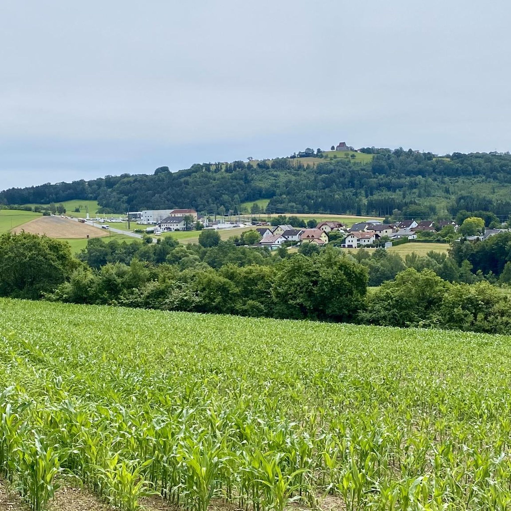
Mountaineering routes around Wartberg ob der Aist traverse a landscape characterized by rolling hills, dense woodlands, and varied elevations. The region offers a mix of terrain, from gentle ascents to more sustained climbs, providing diverse experiences for mountaineers. These routes often lead through forested areas and open sections, revealing scenic viewpoints across the Upper Austrian countryside.
Best mountaineering routes around Wartberg ob der Aist
- The most popular mountaineering route is Buchberg – Elzer Stub'n loop from Kefermarkt, a 5.6…
Last updated: August 30, 2026
5
hikers
8.99km
02:45
320m
320m
Moderate mountaineering route. Good fitness required. Easily-accessible paths. Suitable for all skill levels.
5.0
(1)
2
hikers
8.87km
02:42
300m
300m
Moderate mountaineering route. Good fitness required. Easily-accessible paths. Suitable for all skill levels.

Sign up for free
5.0
(1)
2
hikers
12.1km
03:31
300m
300m
Moderate mountaineering route. Good fitness required. Easily-accessible paths. Suitable for all skill levels.
Our route recommendations are based on thousands of hikes, rides, and runs completed by other people on komoot.
Start today with a free account
Your next adventure awaits.
Login or Signup
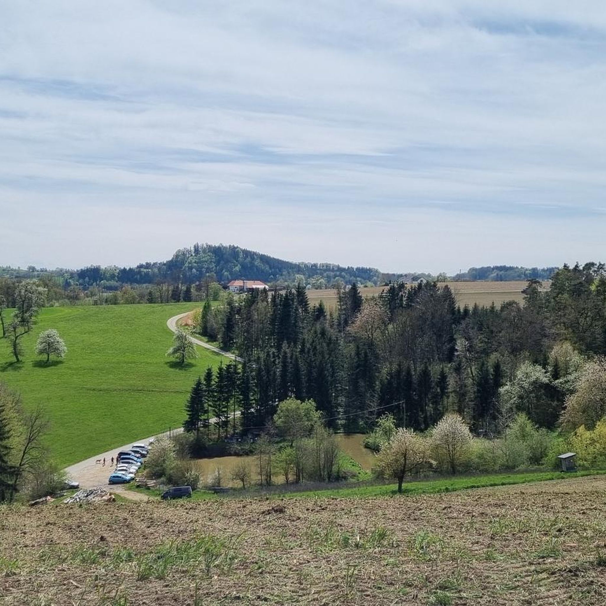
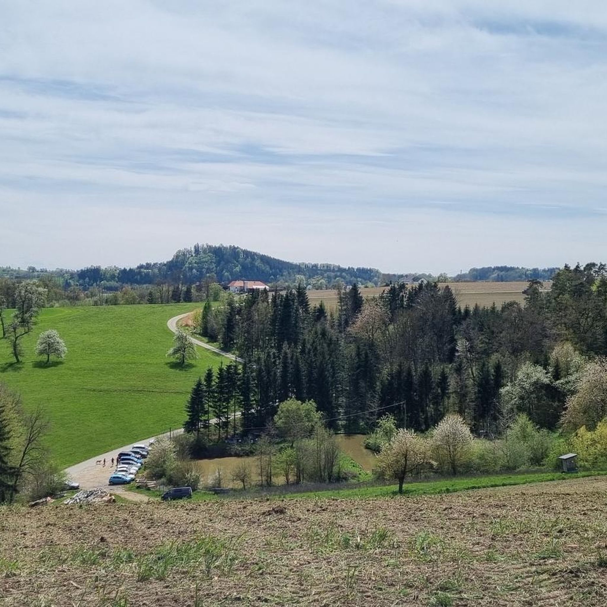
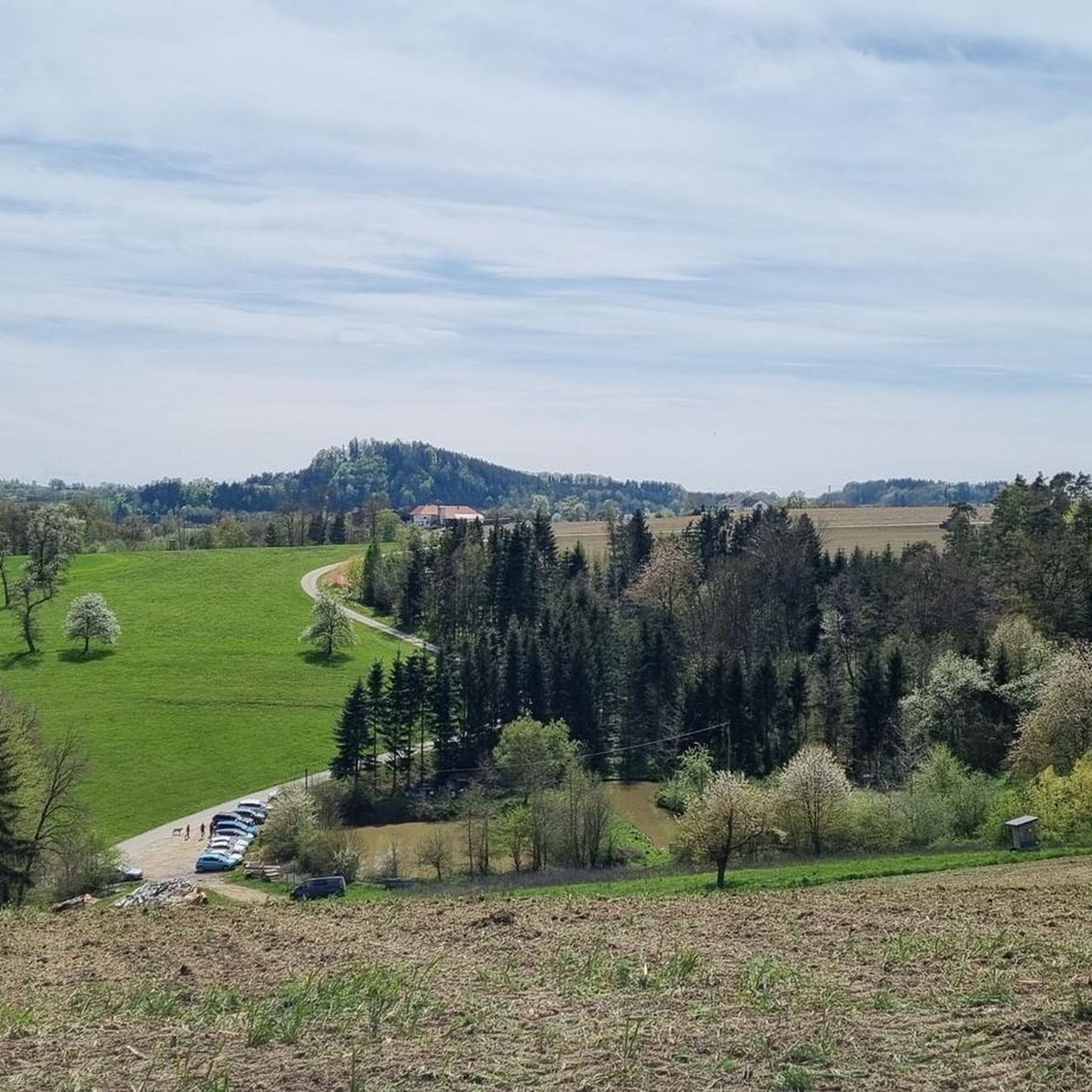
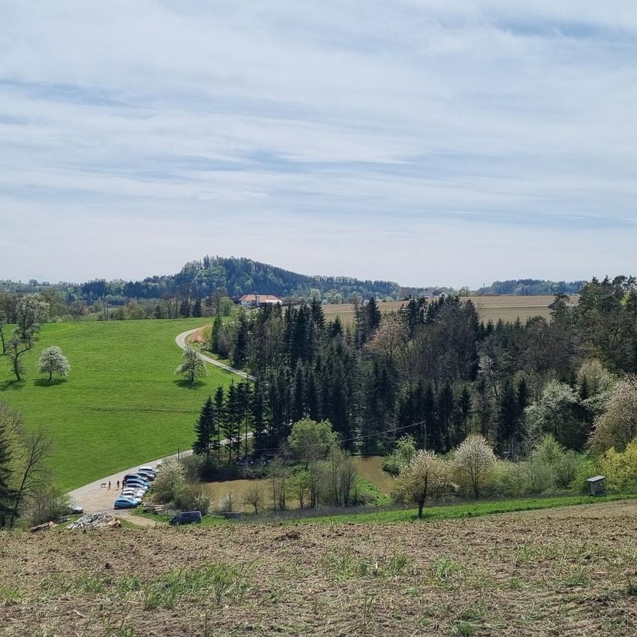

Tips from the Community

Wonderful circular hike away from the hustle and bustle in the hilly Mühlviertel landscape. The legend of the devil (information board at the summit cross) is really brilliant, a clever farmer😜
2
1

The observation tower and vault are only open during the summer months. Otherwise, the ruins are freely accessible all year round.
3
2
Such rock formations are more commonly found further north in the Mühlviertel region. A great destination for a day trip that is easy to reach or can be explored via a beautiful circular hiking trail: https://www.komoot.com/de-de/tour/2058392409
2
2

A beautiful chapel with frescoes can be found below the World Stone
0
0

There are always great exhibitions in the castle.
1
0

The hiking trail is also wonderful when coming up from Windegg. The last stretch to the rock formation is then a matter of personal judgement.
0
0
Schwertberg Castle now houses a hotel with a historic ambience.
0
0

Summit tour with beautiful views and chapel.
1
0
Frequently Asked Questions
How many mountaineering routes are available in Wartberg ob der Aist?
There are several mountaineering routes around Wartberg ob der Aist, offering diverse experiences. This guide highlights four top routes, ranging from easy to moderate difficulty, traversing rolling hills and dense woodlands.
Are there easy mountaineering routes suitable for beginners?
Yes, beginners can enjoy the easy Pfenningberg Summit Cross – Three Beeches Cross loop from Glider airfield Linz-East. This shorter route provides a gentle introduction to the region's landscape without significant elevation challenges.
What are some moderate mountaineering routes for a more challenging experience?
For those seeking a moderate challenge, the Mountaineering loop from Allerheiligen im Mühlkreis is an excellent choice. It features engaging climbs and descents over approximately 8.9 km, taking around 2 hours 42 minutes to complete.
Are there any circular mountaineering routes in the area?
Yes, many of the mountaineering routes around Wartberg ob der Aist are circular, allowing you to start and end at the same point. For example, the Buchberg – Elzer Stub'n loop from Kefermarkt is a popular circular option.
What kind of scenery can I expect on mountaineering routes around Wartberg ob der Aist?
The routes traverse a landscape characterized by rolling hills, dense woodlands, and varied elevations. You'll encounter scenic viewpoints across the Upper Austrian countryside, often leading through forested areas and open sections.
Are there any interesting landmarks or attractions to see along the routes?
Yes, the region is rich in natural and historical landmarks. You might encounter features like the Weltstein natural monument or pass by historical sites such as Pragstein Castle. The Weltstein – Schwertberg Castle loop from Schwertberg specifically leads past historical features.
What do other mountaineers enjoy the most about mountaineering in Wartberg ob der Aist?
The area is highly rated by the komoot community, with an average score of 5.0 stars. Reviewers often praise the diverse terrain, the peaceful woodlands, and the scenic views across the Upper Austrian landscape.
Are the mountaineering routes around Wartberg ob der Aist suitable for families?
While specific family-friendly routes are not explicitly detailed, the region offers a mix of easy and moderate trails. The shorter, less strenuous routes, such as the Pfenningberg Summit Cross – Three Beeches Cross loop, could be suitable for families with older children, depending on their experience and fitness levels.
What is the best time of year for mountaineering in this region?
The best time for mountaineering in Wartberg ob der Aist is generally from spring to autumn (April to October), when the weather is milder and the trails are clear. During these months, you can fully enjoy the lush greenery and scenic views. Winter mountaineering is possible but requires appropriate gear and caution due to potential snow and ice.
Are there options for public transport to reach the trailheads?
While specific public transport connections to every trailhead are not detailed, Wartberg ob der Aist is generally accessible by regional buses. It's advisable to check local bus schedules and routes in advance to plan your journey to the starting points of the mountaineering trails.
Are there any cafes or places to eat near the mountaineering routes?
Yes, some routes, like the Buchberg – Elzer Stub'n loop from Kefermarkt, might pass by local eateries or 'Stub'n' where you can enjoy refreshments. It's always a good idea to check opening hours beforehand, especially in smaller villages.
Most popular routes around Wartberg ob der Aist
Most popular attractions around Wartberg ob der Aist

Get inspired with the komoot mobile app


Explore more
Browse the best Mountain Hikes & Routes in other regions.
