The best mountain hikes in Breitlüsser Wald
24
hikers
4
hikes
Mountaineering routes in Breitlüsser Wald are located within the Bezirk Urfahr-Umgebung region of Upper Austria. The area features a landscape characterized by forested paths and varied elevations, suitable for mountain pursuits. Routes often traverse through woodlands and offer views of the surrounding countryside. The terrain includes ascents and descents, providing a moderate challenge for mountaineers.
Best mountaineering routes in Breitlüsser Wald
- The most popular mountaineering route is Lichtenberg Community Center – Bachlbergweg Forest Trail loop from St. Magdalena, a…
Last updated: June 29, 2026
2
hikers
14.2km
04:22
480m
480m
Moderate mountaineering route. Good fitness required. Easily-accessible paths. Suitable for all skill levels.
14
hikers
16.6km
05:11
660m
660m
Hard mountaineering route. Very good fitness required. Easily-accessible paths. Suitable for all skill levels.

Sign up for free
5
hikers
Moderate mountaineering route. Good fitness required. Easily-accessible paths. Suitable for all skill levels.
2
hikers
8.65km
02:40
310m
310m
Moderate mountaineering route. Good fitness required. Easily-accessible paths. Suitable for all skill levels.
1
hikers
14.3km
04:20
480m
480m
Moderate mountaineering route. Good fitness required. Easily-accessible paths. Suitable for all skill levels.
Our route recommendations are based on thousands of hikes, rides, and runs completed by other people on komoot.
Start today with a free account
Your next adventure awaits.
Login or Signup
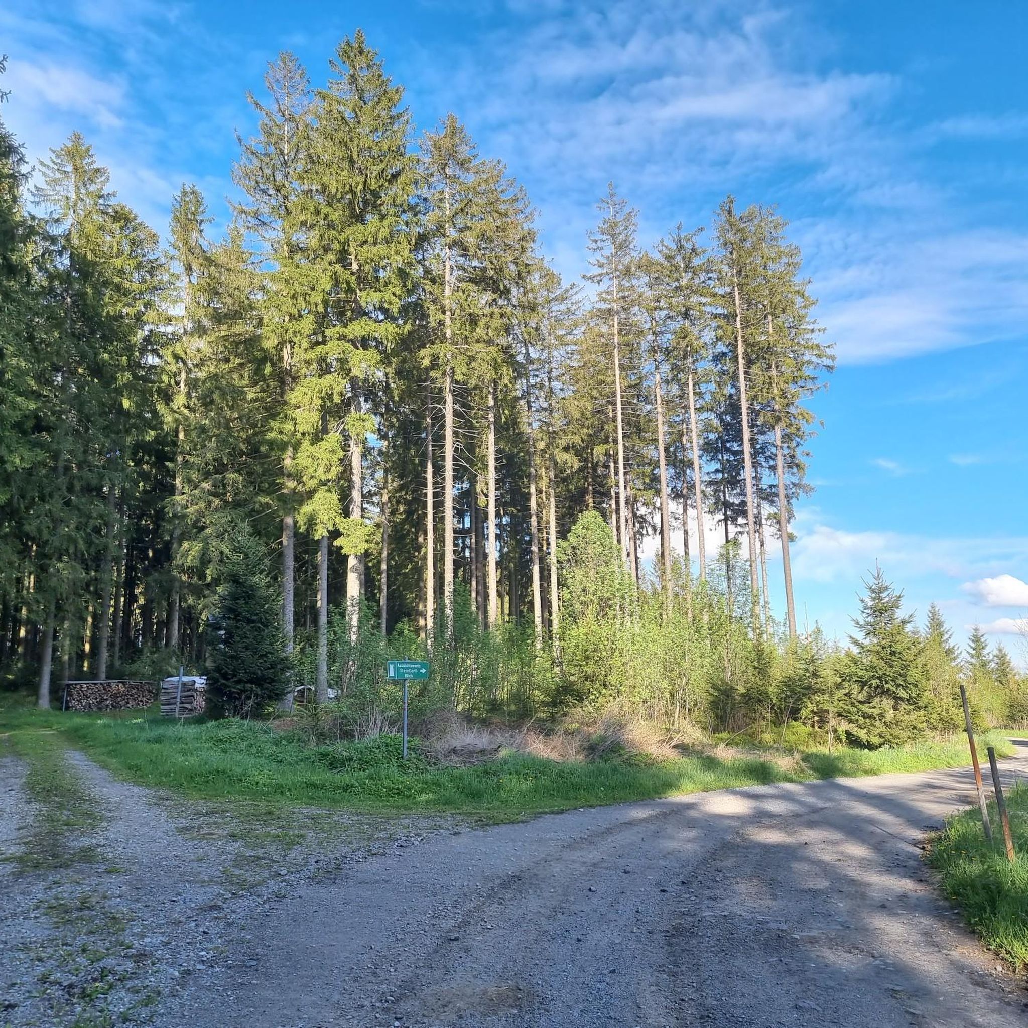
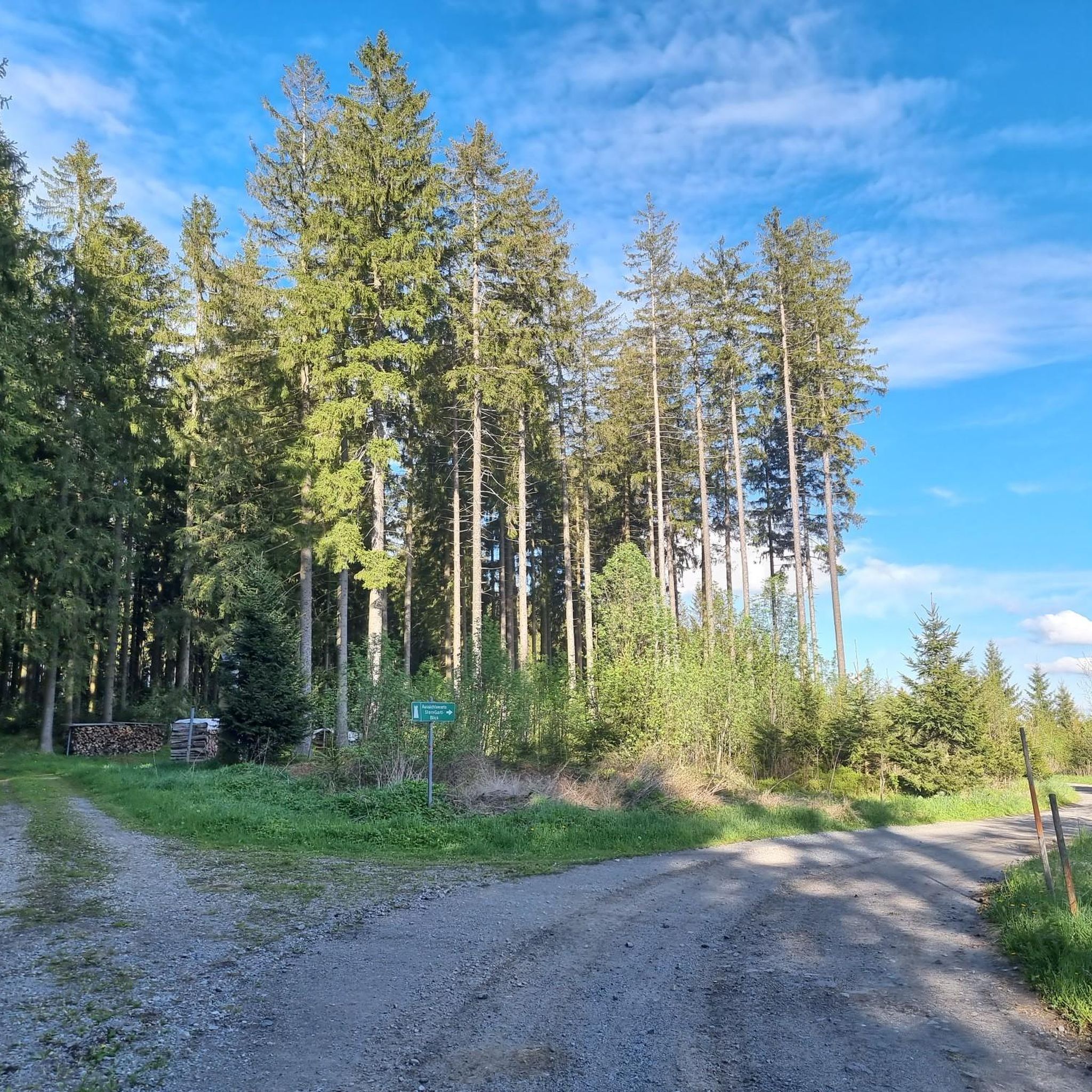
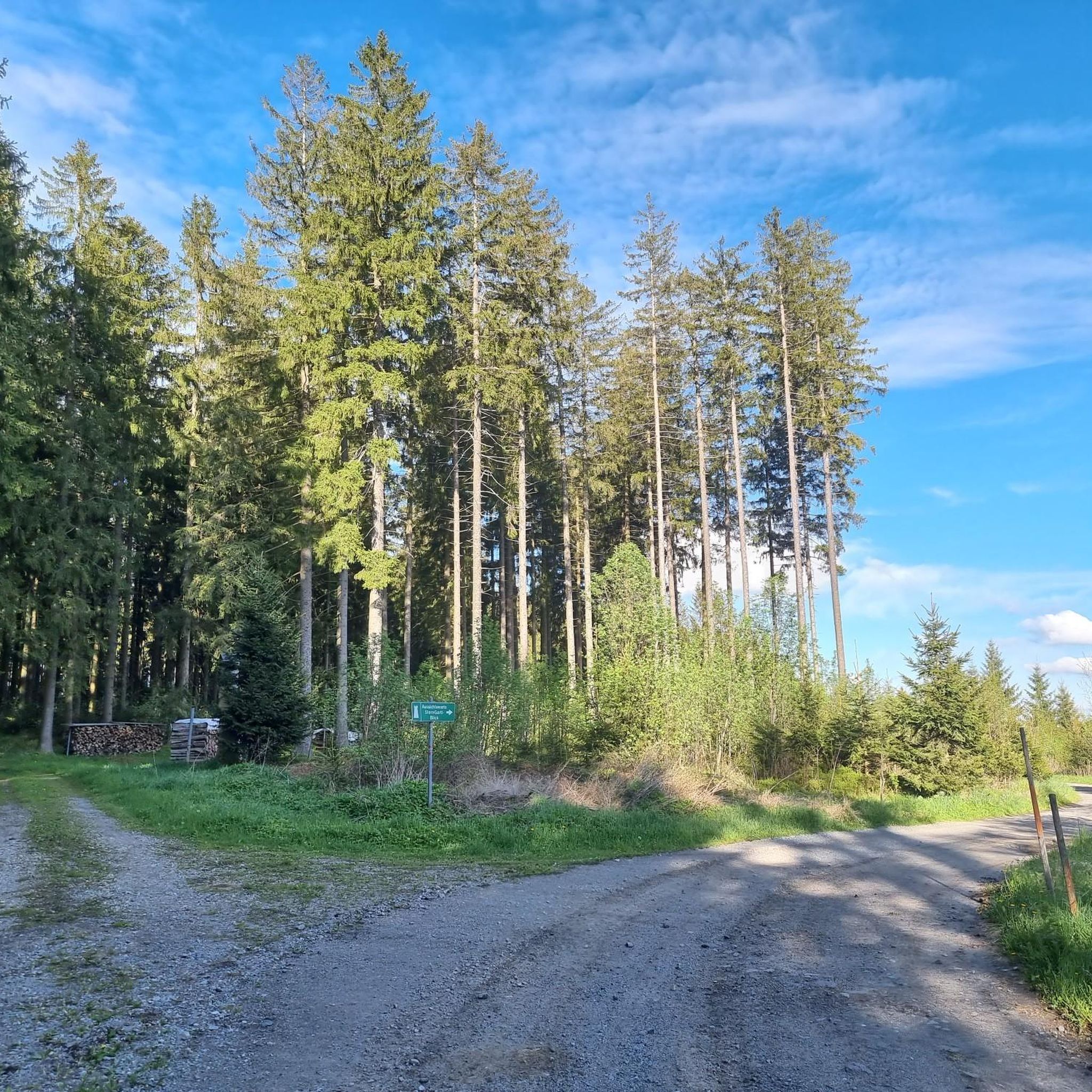
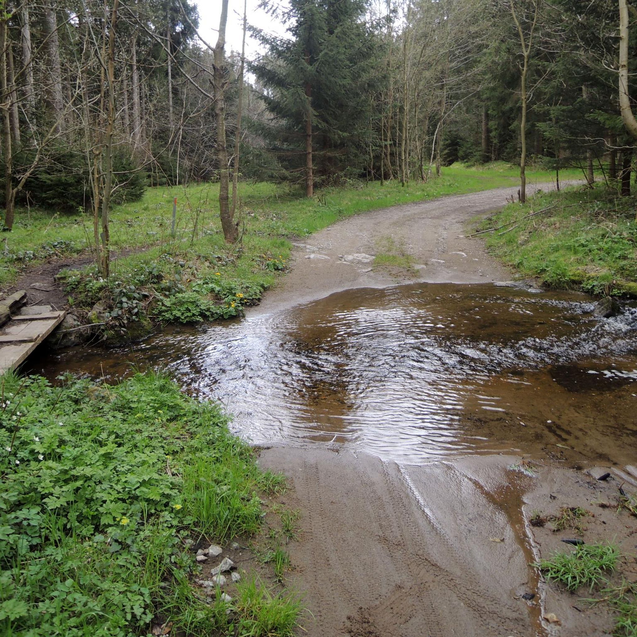

Tips from the Community

The summit cross on the Gis (Lichtenberg) was completely renewed and re-consecrated in June 2026!
3
0
The Giselawarte was built in 1856 and named after Princess Gisela, a daughter of Emperor Franz Joseph. In 1960, it was extended by two floors.
3
0
Giselawarte was built in 1856 and named after Princess Gisela, a daughter of Emperor Franz Joseph. In 1960, it was increased by two stories.
3
0
Built in 1856 and named after Princess Gisela, a daughter of Emperor Franz Joseph. In 1960, two stories were added.
3
0

Built in 1856, the Giselawarte is located at 927m above sea level.
0
0


Frequently Asked Questions
How many mountaineering routes are available in Breitlüsser Wald?
Breitlüsser Wald offers a selection of 4 mountaineering routes, catering to various skill levels. These routes are primarily characterized by forested trails and varied elevations, providing a moderate challenge for mountaineers.
What types of terrain can I expect on mountaineering routes in Breitlüsser Wald?
The mountaineering routes in Breitlüsser Wald primarily feature forested paths and varied elevations. You'll encounter ascents and descents through woodlands, offering scenic views of the surrounding countryside in the Bezirk Urfahr-Umgebung region of Upper Austria.
Are there any circular mountaineering routes in Breitlüsser Wald?
Yes, several routes in Breitlüsser Wald are circular. For example, you can explore the Lichtenberg Community Center – Bachlbergweg Forest Trail loop from St. Magdalena, which is 8.7 miles (14.1 km) long, or the more challenging Gis Transmitter and Rest Area – Giselawarte loop from St. Magdalena, spanning 10.2 miles (16.5 km).
What are some good options for moderate mountaineering routes in Breitlüsser Wald?
For a moderate mountaineering experience, consider the Lichtenberg Community Center – Bachlbergweg Forest Trail loop from St. Magdalena, which takes about 4 hours 20 minutes. Another great choice is the Mushroom rock in Silberhartschlag – Sternstein Observation Tower loop from Bad Leonfelden, leading through forested areas to an observation tower.
Are there any challenging mountaineering routes for experienced hikers in Breitlüsser Wald?
Yes, experienced mountaineers can tackle the Gis Transmitter and Rest Area – Giselawarte loop from St. Magdalena. This difficult 10.2 miles (16.5 km) path includes significant elevation gain, offering a more demanding experience through the landscape.
What are some interesting landmarks or sights to see near the mountaineering routes?
Along and near the mountaineering routes, you can discover several interesting points. Highlights include the Waldkapelle Oberaigen "Mary, Queen of Peace", the unique Witch Stone, and the historical French cross / stone cross in Kirchbühel.
What do other mountaineers enjoy most about the routes in Breitlüsser Wald?
Mountaineers using komoot often praise the varied terrain and the scenic viewpoints found along the routes in Breitlüsser Wald. The network offers options for different ability levels, from moderate ascents to more challenging climbs, all within a beautiful forested setting.
How long do the mountaineering routes typically take to complete?
The duration of mountaineering routes in Breitlüsser Wald varies. For instance, the Lichtenberg Community Center – Bachlbergweg Forest Trail loop from St. Magdalena typically takes around 4 hours 20 minutes, while the more extensive Gis Transmitter and Rest Area – Giselawarte loop from St. Magdalena can take over 5 hours.
Are there any routes that lead to observation towers or notable viewpoints?
Yes, the Mushroom rock in Silberhartschlag – Sternstein Observation Tower loop from Bad Leonfelden is a popular choice that leads through forested areas towards an observation tower, offering rewarding views of the landscape.
What is the elevation gain like on the mountaineering routes in Breitlüsser Wald?
The elevation gain varies across the routes. For example, the Lichtenberg Community Center – Bachlbergweg Forest Trail loop from St. Magdalena has an elevation gain of about 475 meters, while the more difficult Gis Transmitter and Rest Area – Giselawarte loop from St. Magdalena features a significant gain of approximately 659 meters.
Can I find shorter mountaineering options in Breitlüsser Wald?
If you're looking for a shorter mountaineering experience, the Zur Gis Inn – Giselawarte loop from Lichtenberg is a good option. It's about 8.6 kilometers long and can be completed in approximately 2 hours 40 minutes, offering a moderate challenge.
Most popular routes in Breitlüsser Wald
Most popular attractions in Breitlüsser Wald

Get inspired with the komoot mobile app


Explore more
Browse the best Mountain Hikes & Routes in other regions.
