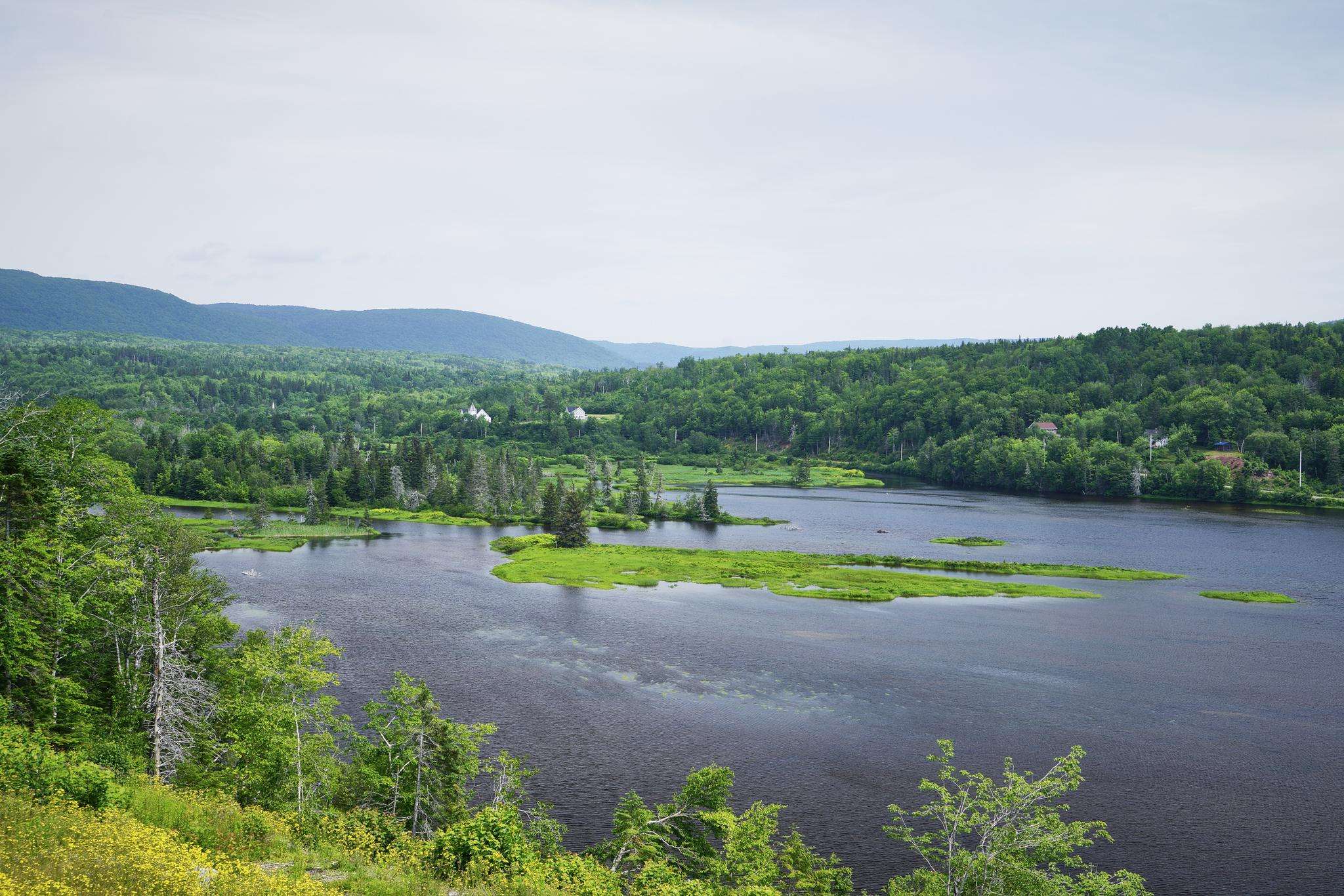
The best road cycling routes around Victoria, Subd. A
57
riders
4
rides
Road cycling around Victoria, Subd. A offers diverse landscapes, from coastal areas to inland hills. The region features a network of routes that traverse varied terrain, including urban environments, farmlands, and natural inlets. Cyclists can expect a mix of protected bike lanes and shared roads, providing options for different preferences. The area is characterized by its proximity to the coast and numerous green spaces.
Best road cycling routes around Victoria, Subd. A
- The most popular road cycling route is Neils…
Last updated: July 6, 2026
34
riders
81.8km
04:09
1,090m
1,090m
Hard road ride. Very good fitness required. Mostly well-paved surfaces and easy to ride.
8
riders
35.1km
01:49
610m
610m
Moderate road ride. Good fitness required. Mostly well-paved surfaces and easy to ride.

Sign up for free
7
riders
31.0km
01:32
500m
500m
Moderate road ride. Good fitness required. Mostly well-paved surfaces and easy to ride.
8
riders
61.1km
03:12
890m
890m
Moderate road ride. Good fitness required. Mostly well-paved surfaces and easy to ride.
Our route recommendations are based on thousands of hikes, rides, and runs completed by other people on komoot.
Start today with a free account
Your next adventure awaits.
Login or Signup

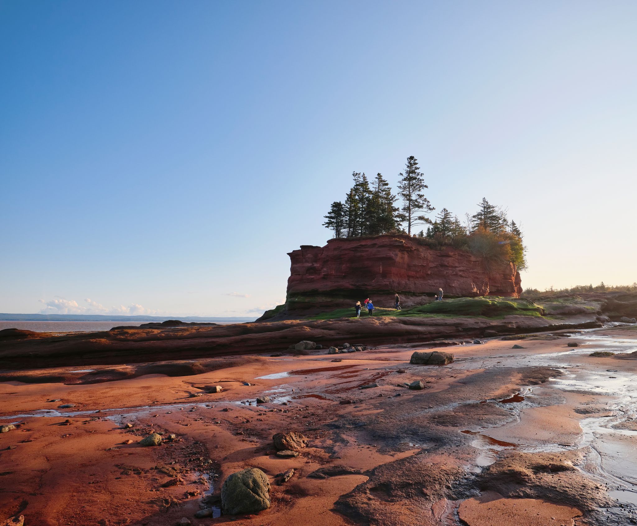
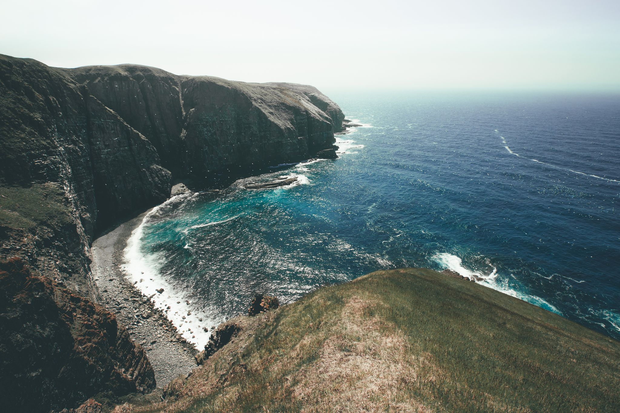
Other adventures around Victoria, Subd. A


Frequently Asked Questions
What types of road cycling routes can I find in Victoria, Subd. A?
Victoria, Subd. A offers a diverse range of road cycling routes, from coastal paths with ocean views to routes winding through farmlands and green spaces. You'll find a mix of protected bike lanes and shared roads, catering to various preferences. The region's proximity to the coast and numerous parks define the cycling experience.
Are there routes suitable for beginners or families in Victoria, Subd. A?
While the guide highlights routes ranging from moderate to difficult, Victoria, British Columbia, generally offers an extensive network of cycling routes suitable for all skill levels, including AAA (All Ages and Abilities) bike routes. These often include off-street trails shared with pedestrians and quiet streets, which can be ideal for families or those seeking an easier ride. The Yellow Head Cove – White Point loop from Neils Harbour is a moderate option that covers 21.8 miles (35.1 km) and takes about 1 hour 48 minutes.
What are some scenic highlights or natural attractions along the road cycling routes?
The region is rich in natural beauty. Along your rides, you might encounter diverse coastal natural areas, including beaches, bluffs, and numerous inlets. Many routes pass through or alongside parks and natural reserves. For specific natural monuments and waterfalls, consider visiting highlights like Still Brook Waterfall, MacIntosh Brook Falls, or the Viewpoint on the Franey Trail.
Are there any challenging road cycling routes for experienced riders?
Yes, for experienced riders seeking a challenge, the region offers routes with significant elevation gain. The Neils Harbour Pond – Wreck Beach Pond loop from North Bay is classified as difficult, covering 50.8 miles (81.8 km) with over 1,000 meters of elevation gain, typically taking around 4 hours and 9 minutes to complete.
Can I find loop routes for road cycling in Victoria, Subd. A?
Yes, many of the road cycling routes in the area are designed as loops, allowing you to start and end at the same point. Examples include the challenging Neils Harbour Pond – Wreck Beach Pond loop from North Bay and the moderate Wreck Beach Pond – Neils Harbour Pond loop from Cape North, which offers a substantial ride through diverse terrain.
What is the best time of year for road cycling in Victoria, Subd. A?
Victoria, British Columbia, generally offers favorable conditions for cycling for much of the year due to its mild climate. While specific seasonal recommendations for Victoria, Subd. A are not provided, the region's diverse landscapes can be enjoyed across multiple seasons. Spring and fall often provide pleasant temperatures and vibrant scenery, while summer is popular for longer rides. Always check local weather forecasts before heading out.
Are dogs allowed on the road cycling trails in Victoria, Subd. A?
While specific regulations for Victoria, Subd. A are not detailed, many regional trails in Victoria, British Columbia, such as the Galloping Goose Regional Trail and Lochside Regional Trail, are generally dog-friendly, often requiring dogs to be on a leash. It's always best to check local signage or official regional park websites for specific leash laws and regulations on any given trail to ensure compliance.
Are there facilities like water refill stations along the routes?
Yes, some of the popular regional trails in the broader Victoria area, such as the Galloping Goose Regional Trail and Lochside Regional Trail, are known to have water refill stations available, which is convenient for longer rides. For other routes, it's advisable to carry sufficient water or plan stops in towns or cafes.
Where can I find parking or public transport access for road cycling routes?
Victoria, British Columbia, has a well-developed cycling network, and many popular trails like the Galloping Goose and Lochside Trails have designated parking areas at various access points. The city also promotes cycling as a preferred mode of transportation, suggesting good public transport options that may accommodate bikes or provide access close to trailheads. Specific parking details for individual routes are best checked on local government or park websites.
What kind of landscapes can I expect on a road cycling tour like the Smelt Brook Shore loop?
The Smelt Brook Shore loop from Yellow Head Conservation Lands is a moderate 31.0-mile (50 km) route that takes you through coastal and natural areas. You can expect to experience the diverse scenery characteristic of the region, including views of the shore and the natural environment around the Yellow Head Conservation Lands.
How many road cycling routes are available in Victoria, Subd. A?
There are over 4 road cycling routes detailed in this guide for Victoria, Subd. A, ranging in difficulty from moderate to difficult. These routes have been explored by more than 50 road cyclists using komoot, showcasing the region's varied terrain.
Most popular routes around Victoria, Subd. A
Most popular attractions around Victoria, Subd. A

Get inspired with the komoot mobile app


Explore more
Browse the best Road cycling routes in other regions.
