The best waterfall hikes and walks in Sölktäler
4.6
(5537)
29,527
hikers
31
hikes
Waterfall hiking trails in Sölktäler traverse a diverse alpine landscape in the Niedere Tauern of Upper Styria, Austria. The region features steep slopes, deep rivers, and numerous waterfalls, characteristic of its siliceous bedrock. Hikers encounter lush meadows, clear mountain streams, and impressive mountain lakes, with peaks reaching up to 2,684 meters above sea level. The area is known for its abundant water features, including wild streams and cascades.
Best waterfall hiking trails in Sölktäler
- The most popular waterfall hiking route is Trail No. 927 Waterfalls – Talkenschrein Summit loop from Neunkirchner Hütte, a 5.4 miles (8.7 km) trail that takes 4 hours 29 minutes to complete. This moderate route offers views of multiple cascades and alpine scenery.
- Another top favourite among local hikers is Eselsbach Waterfall – Trail No. 927 Waterfalls loop from Neunkirchner Hütte, a moderate 3.1 miles (5.0 km) path. This trail leads past the Eselsbach Waterfall, providing a refreshing experience amidst the natural environment.
- Local hikers also love the Talkenschrein Summit – Eselsbach Waterfall loop from Neunkirchner Hütte, a 6.8 miles (10.9 km) trail leading through varied alpine terrain, often completed in about 6 hours 16 minutes.
- Hiking in Sölktäler is defined by alpine pastures, clear mountain streams, and numerous waterfalls. The extensive network offers options for different ability levels, from easy walks to challenging summit tours.
- The routes in Sölktäler are highly rated by the komoot community with an average score of 4.6 stars from over 5,500 reviews. More than 29,000 hikers have used komoot to explore Sölktäler's varied terrain.
Last updated: July 7, 2026
4.8
(39)
271
hikers
Moderate hike. Good fitness required. Mostly accessible paths. Sure-footedness required.
4.8
(19)
116
hikers
Moderate hike. Good fitness required. Mostly accessible paths. Sure-footedness required.

Sign up for free
4.0
(1)
15
hikers
10.9km
06:17
1,060m
1,060m
Hard hike. Very good fitness required. Sure-footedness, sturdy shoes and alpine experience required.
4.9
(24)
131
hikers
12.5km
05:46
860m
860m
Hard hike. Very good fitness required. Mostly accessible paths. Sure-footedness required.
3.0
(1)
12
hikers
Moderate hike. Great for any fitness level. Mostly accessible paths. Sure-footedness required.
Get access to more routes and recommendations from other explorers.
Sign up for free
Already have an account?
Our route recommendations are based on thousands of hikes, rides, and runs completed by other people on komoot.
Start today with a free account
Your next adventure awaits.
Login or Signup
Popular around Sölktäler

Central Alps Trail Eastern Section – Discover Austria
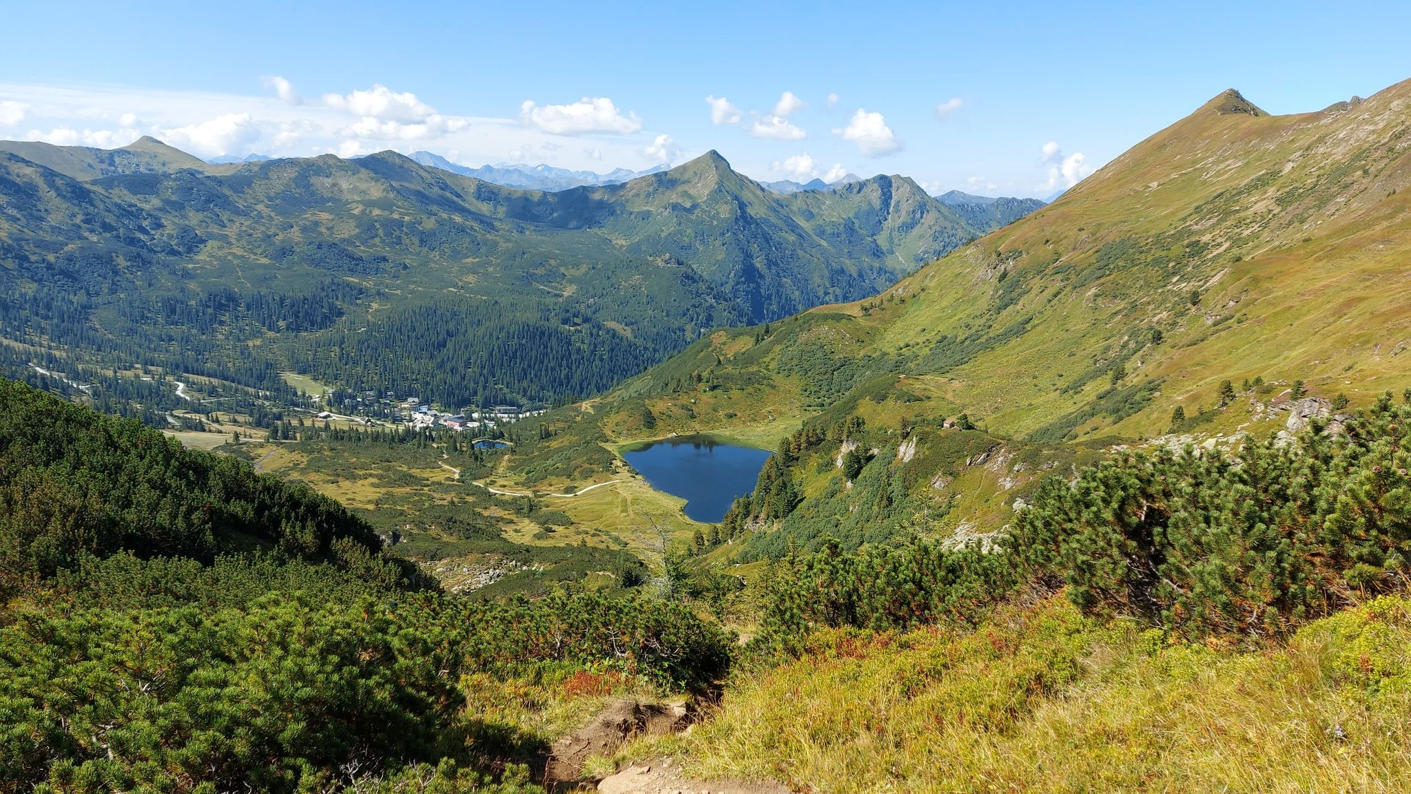
Austria's Salt Trail – On old paths through Styria
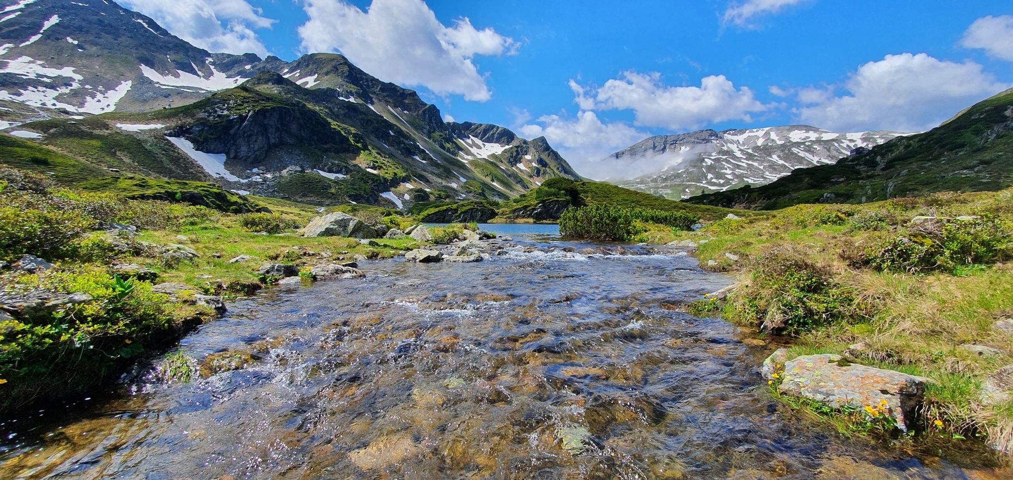
Schladminger Tauern High Altitude Trail – 7 days of great hiking in Austria
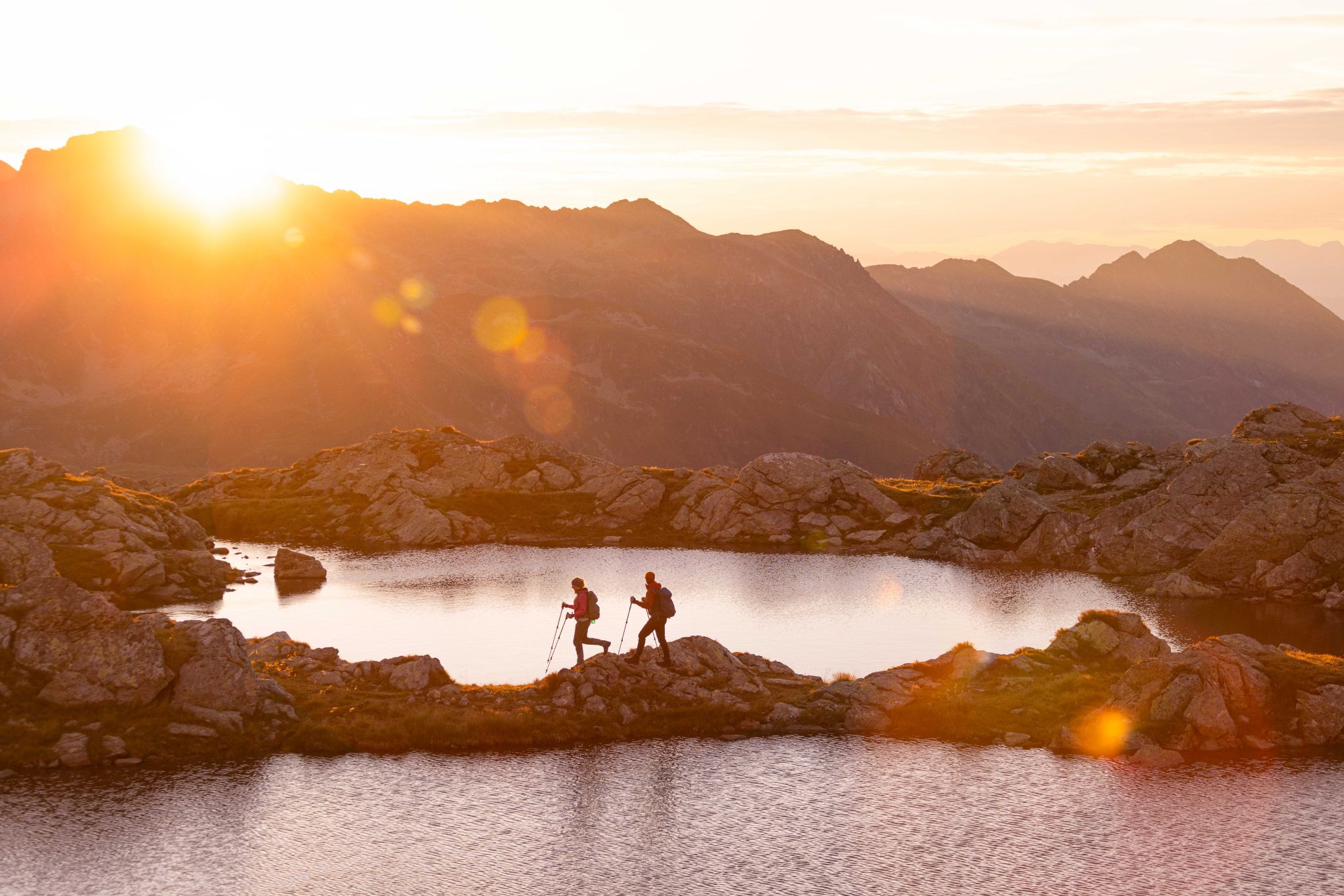
Huts, lakes, streams and panoramas on the Schladminger Tauern High Trail
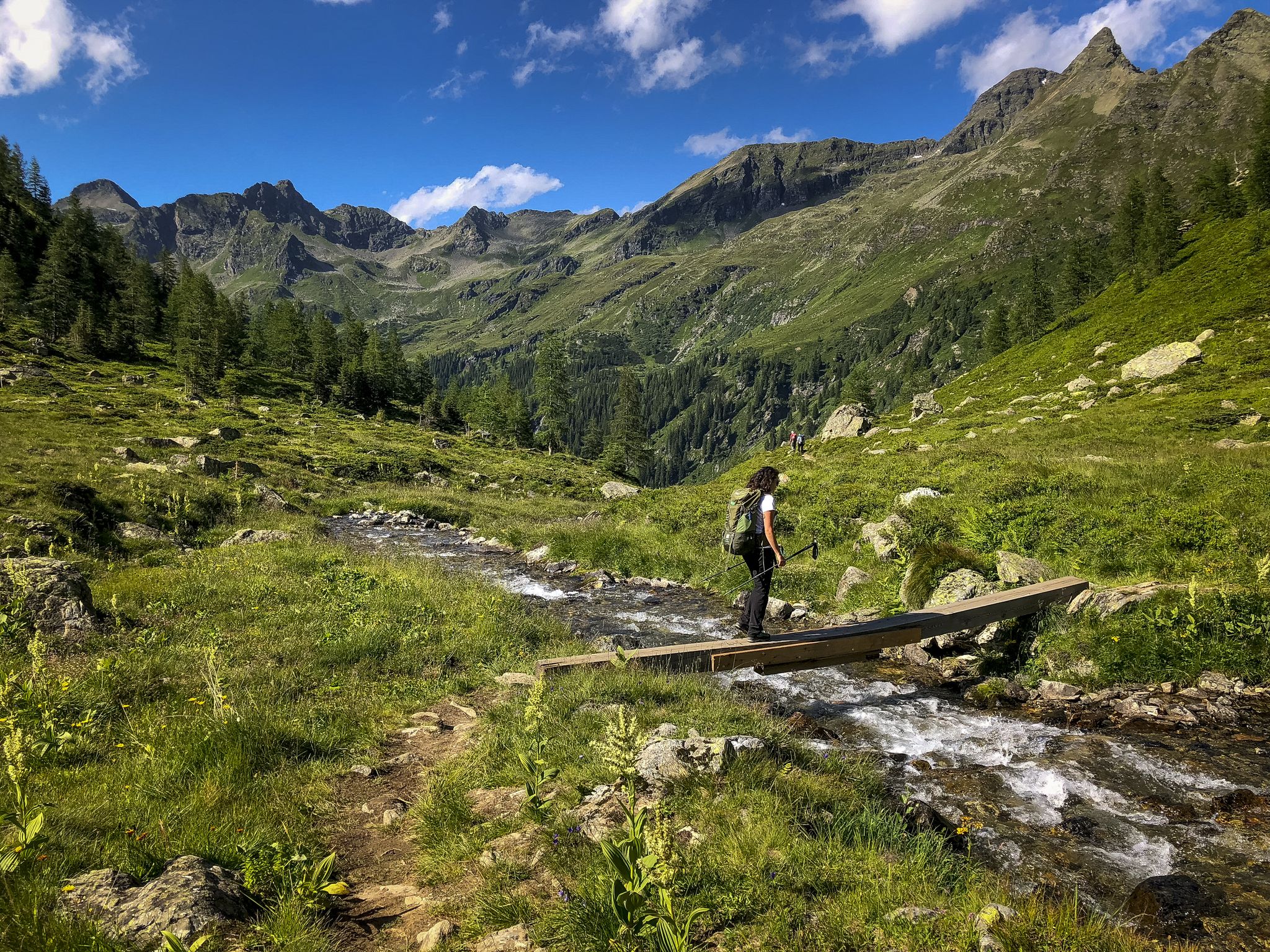
Discover Styria in Austria – Hiking the 'From Glacier to Wine' southern route
Other adventures in Sölktäler


Tips from the Community

All three lakes are beautiful and have a wonderful atmosphere. However, the Oberer Landschitzsee is truly special. The path there follows a stream that winds its way through the stones, gently babbling. Here, the rugged, wild, and romantic side of the Lungau region becomes clearly visible.
0
0

Very friendly hosts, great tasty dishes, inexpensive, great snack.
1
0


Drinks and food are available in a lovely atmosphere. Please note that payment is only possible in cash!
0
0

Yes, you need a slim butt if you want to sit comfortably here..😏
2
0

At the destination of our three day tour. Unfortunately the hut was closed. But a fantastic path into the valley.
0
0
Nice little waterfall... it really relaxes you after a round... and is always great for refreshing yourself!
8
0
Located right on the side of the path… food and drink are provided…😏
7
0
Frequently Asked Questions
How many waterfall hiking trails are available in Sölktäler?
Sölktäler offers a wide selection of waterfall hiking trails, with over 30 routes specifically featuring waterfalls. These trails traverse a diverse alpine landscape, characterized by steep slopes, deep rivers, and numerous cascades.
What makes Sölktäler a unique destination for waterfall hikes?
Sölktäler is renowned for its abundant water features, including wild streams and numerous waterfalls, which is even reflected in its name, signifying 'flowing water'. The region's siliceous bedrock contributes to the formation of these impressive cascades amidst a backdrop of lush meadows, clear mountain streams, and unique geological features like Sölker Marble, creating a truly distinctive hiking experience.
What do other hikers appreciate most about the waterfall trails in Sölktäler?
The waterfall trails in Sölktäler are highly rated by the komoot community, with an average score of 4.6 stars from over 5,500 reviews. Hikers often praise the pristine natural environment, the variety of landscapes from alpine pastures to high peaks, and the refreshing experience of encountering numerous waterfalls and mountain lakes.
Are there easy waterfall hikes suitable for beginners or families in Sölktäler?
Yes, Sölktäler offers 9 easy waterfall hiking routes that are suitable for beginners or families. These trails typically have minimal elevation gain and shorter distances, allowing everyone to enjoy the natural beauty and cascades without excessive challenge. Look for routes marked as 'easy' for a more relaxed experience.
Can I find challenging waterfall routes in Sölktäler?
Absolutely. For experienced hikers seeking a challenge, Sölktäler features 7 difficult waterfall routes. These trails often involve significant elevation gain and longer distances, such as the Talkenschrein Summit – Eselsbach Waterfall loop from Neunkirchner Hütte, which covers 10.9 km with over 1,000 meters of ascent, offering rewarding views and a true alpine experience.
Are there circular waterfall walks in Sölktäler?
Yes, many of the waterfall trails in Sölktäler are designed as circular routes, allowing you to start and end at the same point. A popular option is the Trail No. 927 Waterfalls – Talkenschrein Summit loop from Neunkirchner Hütte, which offers views of multiple cascades and alpine scenery on a 8.7 km loop.
What are some notable landmarks or viewpoints I might encounter on waterfall hikes?
Beyond the waterfalls themselves, Sölktäler's trails often lead past stunning natural landmarks. You might encounter impressive summits like Kochofen Summit or Gumpeneck Summit, or serene spots like Schwarzensee Creek. The region is also home to unique geological features and offers panoramic views of the Niedere Tauern mountain range.
What is the best time of year to visit Sölktäler for waterfall hiking?
The best time for waterfall hiking in Sölktäler is typically from late spring to early autumn (May to October). During these months, the snow has melted, trails are generally clear, and the waterfalls are often at their most powerful due to snowmelt and rainfall. The Sölk Pass, a key access point, is also open to cars and buses in summer.
Are there places to eat or stay near the waterfall trails?
Yes, the Sölktäler region features cozy mountain huts like the Breitlahnhütte and Preintaler Hut, which offer food, refreshments, and sometimes overnight accommodations. These huts are often strategically located along popular hiking routes, providing convenient rest stops during your waterfall adventures.
How can I reach the waterfall hiking trails using public transport?
Public transport options are available, particularly during the summer months. The Sölk Pass, which provides access to stunning mountain scenery and many trailheads, is accessible by bus. Look for information on the 'Sölktäler Tälerbus' service, which connects various points within the nature park, making it easier to reach trail starting points without a car.
Where can I park when visiting the waterfall trails in Sölktäler?
Designated parking areas are typically available at major trailheads and popular starting points for hikes, especially near mountain huts or significant attractions. It's advisable to check specific route descriptions or local signage for the most convenient parking options for your chosen waterfall trail.
Can I bring my dog on waterfall hikes in Sölktäler?
Many trails in Sölktäler Nature Park are dog-friendly, but it's always recommended to keep your dog on a leash, especially in alpine pastures where livestock may be present, and to protect local wildlife. Always carry water for your dog and clean up after them. Check specific trail regulations or local signage for any restrictions.
Most popular routes in Sölktäler
Most popular attractions in Sölktäler

Get inspired with the komoot mobile app


Explore more
Browse the best Hikes in other regions.
