The best road cycling routes around Keitele
33
riders
5
rides
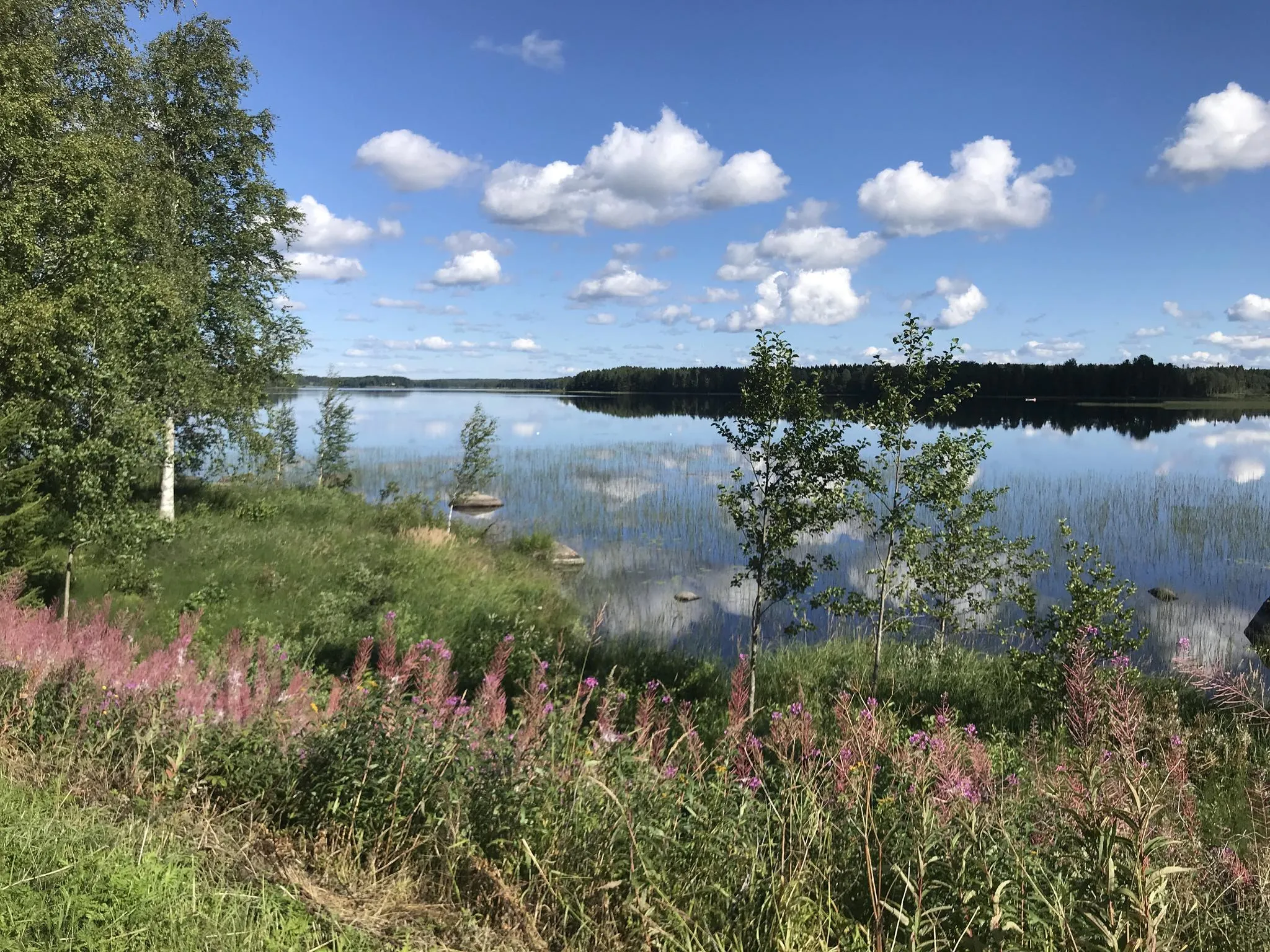
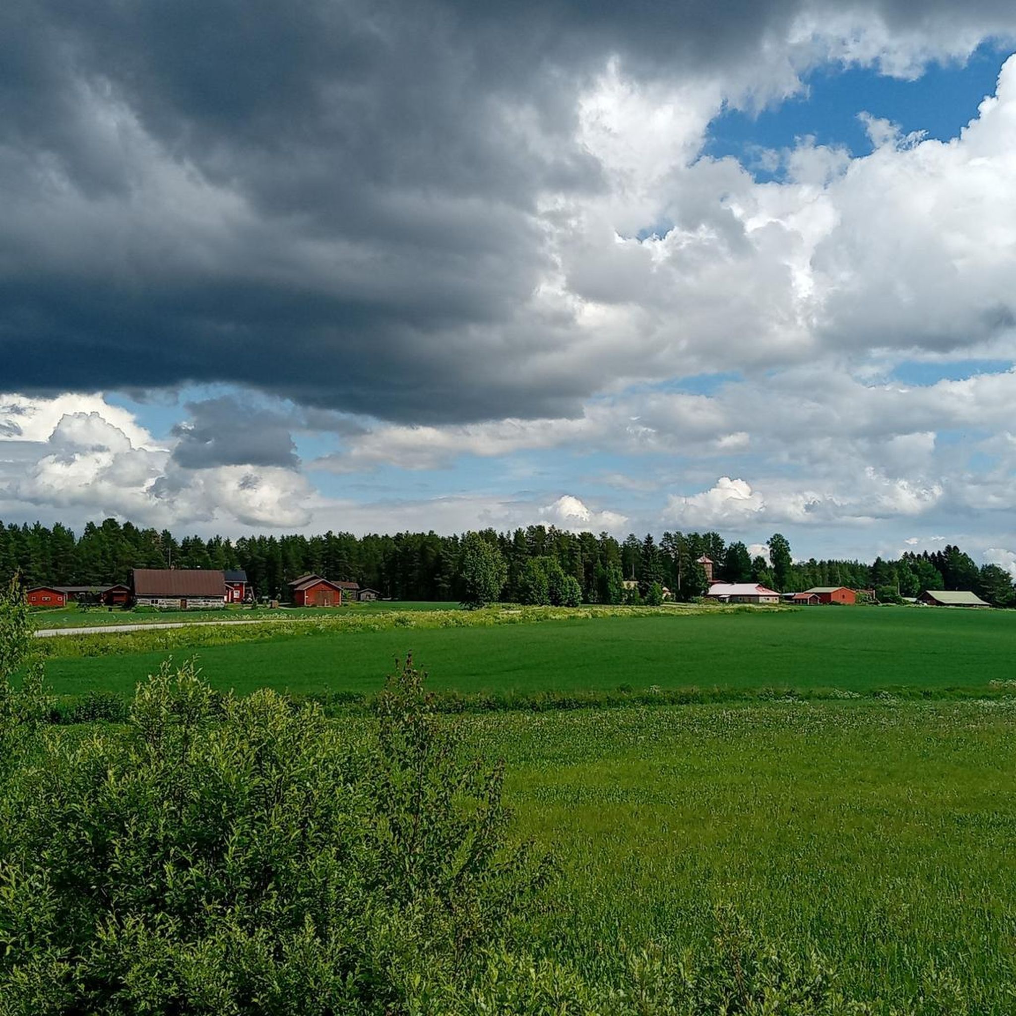
Road cycling around Keitele offers routes through the Finnish Lakeland region, characterized by clear lakes, dense forests, and undulating terrain. The area features extensive waterways, including Lake Keitele, providing scenic backdrops for cycling. Road cyclists can expect routes that wind along shorelines and through rolling hills, offering varied terrain. The landscape provides a tranquil environment for outdoor activities.
Best road cycling routes around Keitele
- The most popular road cycling route is Panoramic View at Kuusa Canal – Kuusaankoski Rapids loop…
Last updated: July 8, 2026
8
riders
44.5km
02:02
390m
380m
Moderate road ride. Good fitness required. Some segments of this route may be unpaved and difficult to ride.
7
riders
Moderate road ride. Good fitness required. Some segments of this route may be unpaved and difficult to ride.

Sign up for free
6
riders
65.3km
02:54
480m
480m
Moderate road ride. Good fitness required. Some segments of this route may be unpaved and difficult to ride.
4
riders
99.8km
05:15
530m
530m
Hard road ride. Very good fitness required. Some segments of this route may be unpaved and difficult to ride.
7
riders
71.9km
03:20
540m
540m
Moderate road ride. Good fitness required. Some segments of this route may be unpaved and difficult to ride.
Our route recommendations are based on thousands of hikes, rides, and runs completed by other people on komoot.
Start today with a free account
Your next adventure awaits.
Login or Signup
Other adventures around Keitele

Tips from the Community

Pikku-Kuukka is a small and narrow pond in Central Finland in the municipality of Uurainen, right next to the church village of Uurainen. It belongs to the main river basin of the Kymijoki River, and its waters flow along the river into the neighboring Iso-Kuukka lake
0
0

Pikku‑Kuukka is a small, serene lake just outside Uurainen, nestled within the Kymijoki watershed and surrounded by peaceful forest scenery.
1
0

Amazing place!!!!! In May had it all for myself and loved it.
0
0

Here you can find a spot along the shore to stretch your legs and soak in the tranquil views. Äänejärvi offers you that essential pause, a moment of natural peace to fuel the rest of your ride.
0
0

The pond is 830 meters long, 140 meters wide, and has an area of 4.9 hectares. According to the map, there are no islands in the pond. The volume of the pond has been calculated to be 148,800 cubic meters. Its average depth is 3.0 meters and its maximum depth is 6.9 meters. Its shoreline is 1.6 kilometers long.
1
0
Uurainen Church was built in 1905 and designed by Yrjö Blomstedt. Its name stems from the church's heart decorations, of which there are over 1 000.
0
0
Frequently Asked Questions
What kind of terrain can I expect when road cycling in Keitele?
Road cycling in Keitele offers a diverse landscape characterized by rolling hills, dense forests, and extensive waterways. You'll find routes winding along the shores of Lake Keitele, providing scenic water-based vistas, and through undulating forested areas, which offer both challenge and visual reward.
How many road cycling routes are available in Keitele?
There are several road cycling routes around Keitele, with komoot featuring 5 distinct tours. These routes cater to various ability levels, ranging from moderate to difficult.
Are there road cycling routes suitable for different skill levels in Keitele?
Yes, Keitele offers road cycling routes for various skill levels. While there are no easy routes listed, you can find 4 moderate routes and 1 difficult route, providing options for those seeking a good workout or a more challenging ride.
What are the elevation changes like on Keitele's road cycling routes?
The routes in Keitele feature significant elevation changes due to the region's rolling hills. For example, the Panoramic View at Kuusa Canal – Kuusaankoski Rapids loop from Äänekoski includes over 720 meters of ascent, while the Neituri lean-to – Kerkonkoski loop from Kuhjontie E has over 530 meters of climbing, ensuring an engaging and dynamic cycling experience.
What scenic viewpoints or natural features can I see along the road cycling routes in Keitele?
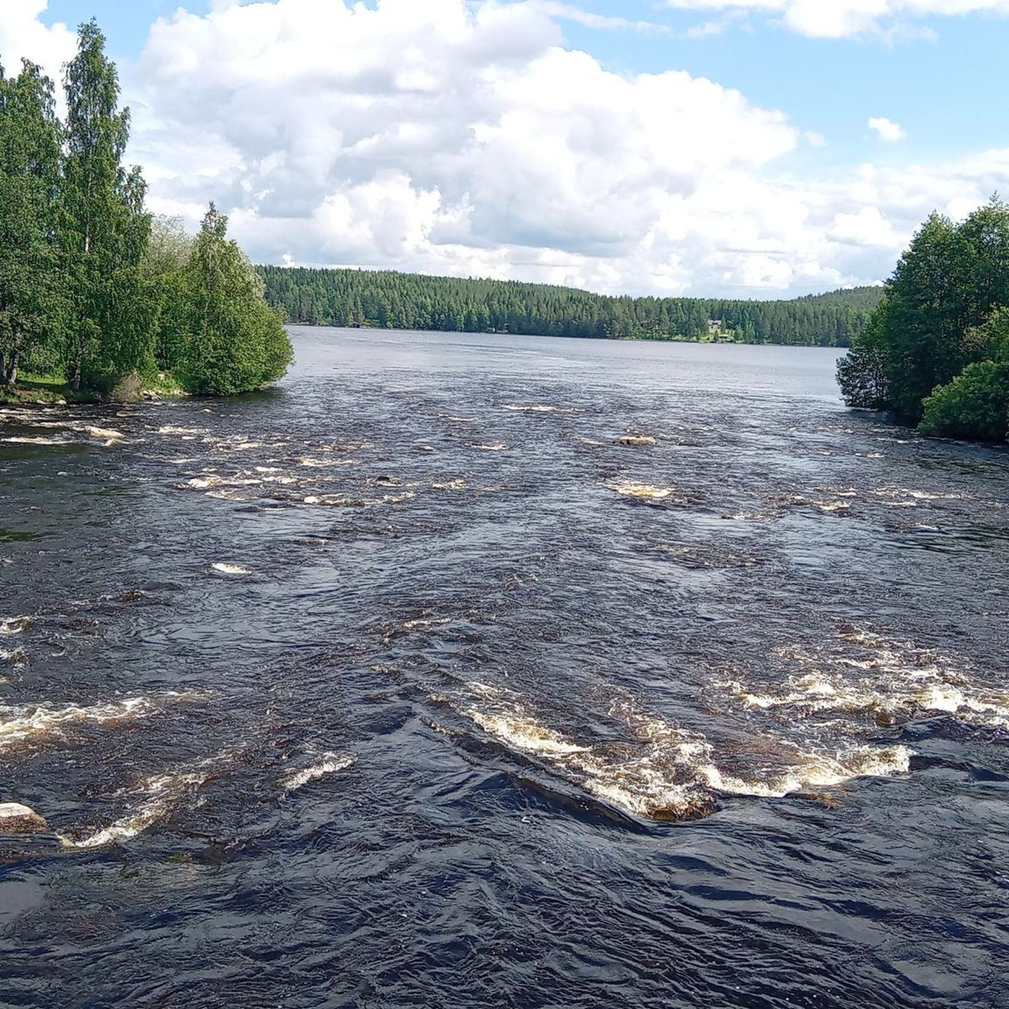
Many routes offer stunning views of Lake Keitele, one of Finland's largest lakes, with its extensive shoreline and islands. You can also expect to pass by features like the Kuusa Canal, the Kuusaankoski Rapids, and the Kerkonkoski canal. The routes frequently immerse you in dense, tranquil forests, providing a peaceful and scenic backdrop.
Are there circular road cycling routes in Keitele?
Yes, many of the road cycling routes in Keitele are designed as loops, allowing you to start and end at the same point. Examples include the Panoramic View at Kuusa Canal – Kuusaankoski Rapids loop from Äänekoski and the Turppisaari loop from Äänekoski.
What is the best time of year for road cycling in Keitele?
The best time for road cycling in Keitele is typically during the warmer months, from late spring to early autumn (May to September). During this period, the weather is generally mild, and the natural scenery is at its most vibrant, offering ideal conditions for exploring the region's lakes and forests.
Is parking available at the trailheads for road cycling routes in Keitele?
While specific parking details for each trailhead are not provided, it is generally possible to find parking in or near the starting points of routes, especially in towns like Äänekoski or other access points. We recommend checking local information or maps for precise parking locations before your ride.
Are there family-friendly road cycling options in Keitele?
While the listed routes are primarily moderate to difficult, the tranquil environment and scenic lakefront roads can be suitable for families with older children or those comfortable with longer distances and some elevation. For easier, shorter rides, you might consider exploring local roads away from the main routes.
What do other road cyclists enjoy the most about road cycling in Keitele?
Road cyclists frequently praise Keitele for its tranquil atmosphere and stunning natural beauty. The combination of vast, clear lakes, rolling forested landscapes, and quiet roads provides an immersive and enjoyable experience away from urban bustle. The varied terrain also offers a satisfying challenge for many riders.
Can I find cafes or places to stop for refreshments along the road cycling routes?
While the region is known for its tranquil and natural environment, specific cafes or refreshment stops directly on every route are not detailed. It's advisable to plan your stops in advance, especially when passing through smaller villages or towns, or to carry sufficient provisions for your ride.
Are there any challenging road cycling routes in Keitele?
Yes, Keitele offers challenging road cycling routes for experienced riders. The Neituri lean-to – Kerkonkoski loop from Kuhjontie E is classified as difficult, covering nearly 100 km with over 530 meters of elevation gain, providing a demanding and rewarding experience.

Get inspired with the komoot mobile app


Explore more
Browse the best Road cycling routes in other regions.
