The best mountain hikes around Obersee
5.0
(4)
83
hikers
9
hikes
Mountaineering routes around Obersee navigate a landscape characterized by varied elevations, including mountain passes and alpine summits. The region features a mix of open terrain and areas leading to mountain huts, offering diverse challenges for mountaineers. These routes provide opportunities to explore the mountainous environment of See-Gaster.
Best mountaineering routes around Obersee
- The most popular mountaineering route is Etzelpass loop from Pfäffikon SZ, a 5.0 miles (8.1 km) trail that takes 3 hours 7 minutes to complete. This moderate…
Last updated: June 25, 2026
6
hikers
8.33km
03:11
580m
580m
Moderate mountaineering route. Good fitness required. Mostly accessible paths. Sure-footedness required.
5.0
(1)
25
hikers
9.91km
03:12
420m
420m
Moderate mountaineering route. Good fitness required. Easily-accessible paths. Suitable for all skill levels.

Sign up for free
17
hikers
8.00km
02:49
410m
410m
Hard mountaineering route. Good fitness required. Sure-footedness, sturdy shoes and alpine experience required.
5.0
(1)
16
hikers
9.67km
03:27
570m
570m
Moderate mountaineering route. Good fitness required. Easily-accessible paths. Suitable for all skill levels.
4
hikers
11.8km
04:00
590m
590m
Moderate mountaineering route. Good fitness required. Easily-accessible paths. Suitable for all skill levels.
Get access to more routes and recommendations from other explorers.
Sign up for free
Already have an account?
Our route recommendations are based on thousands of hikes, rides, and runs completed by other people on komoot.
Start today with a free account
Your next adventure awaits.
Login or Signup

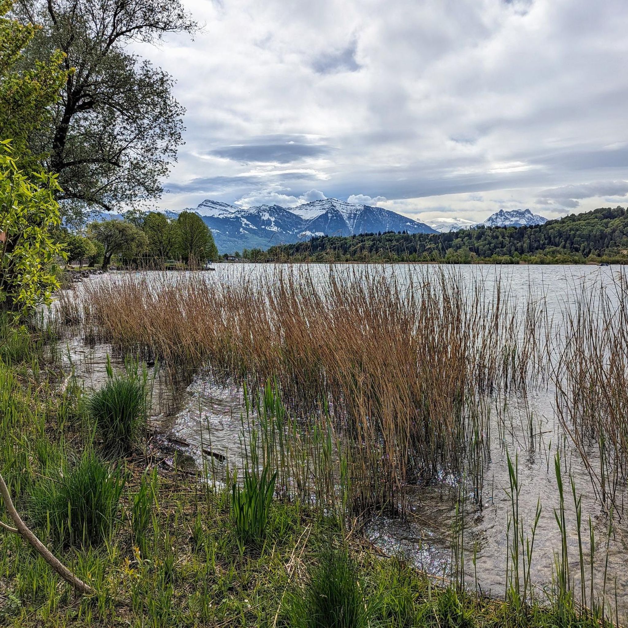
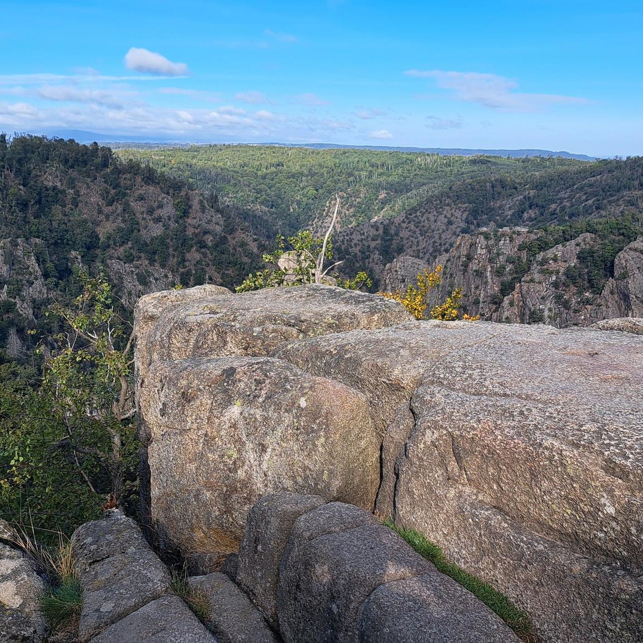
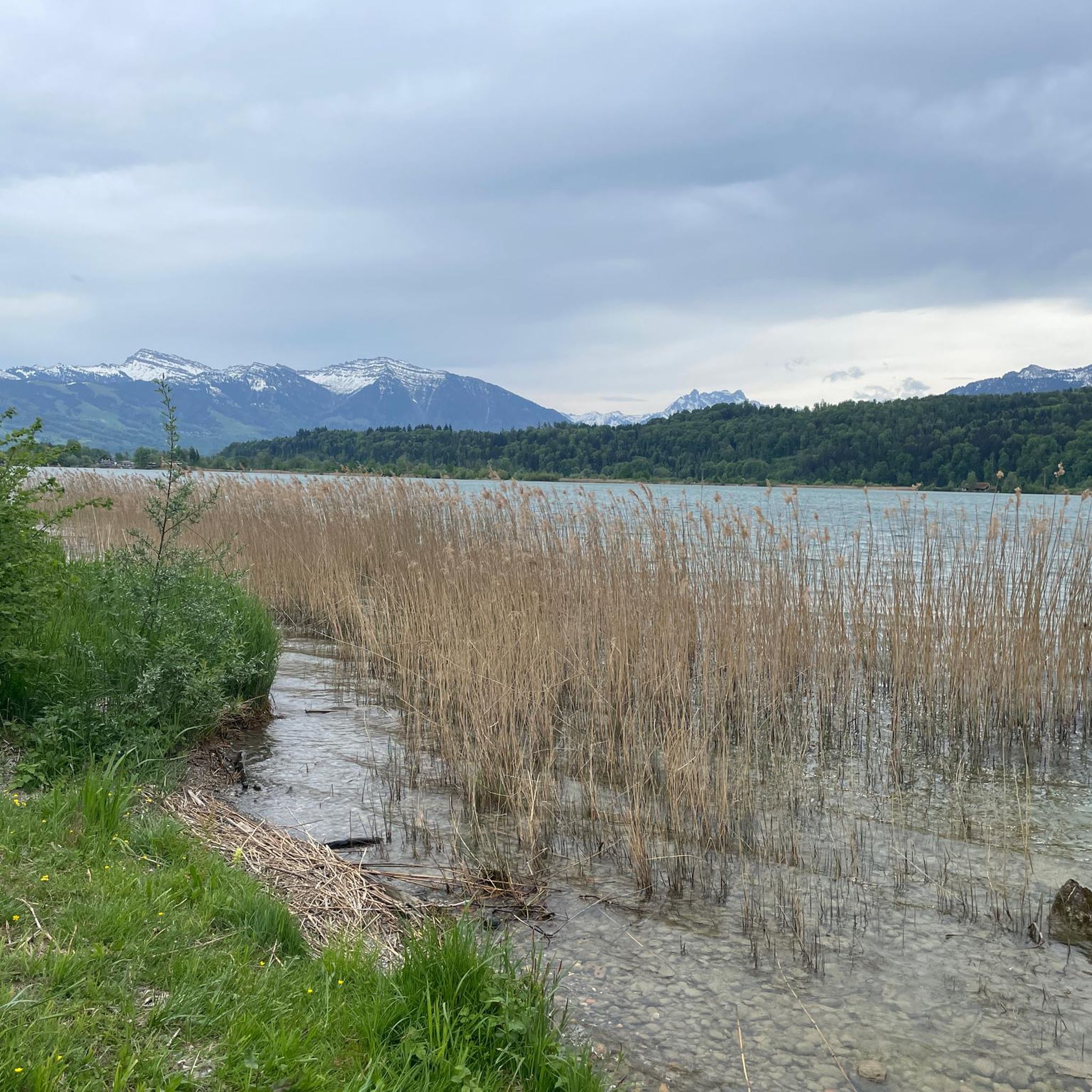


Tips from the Community

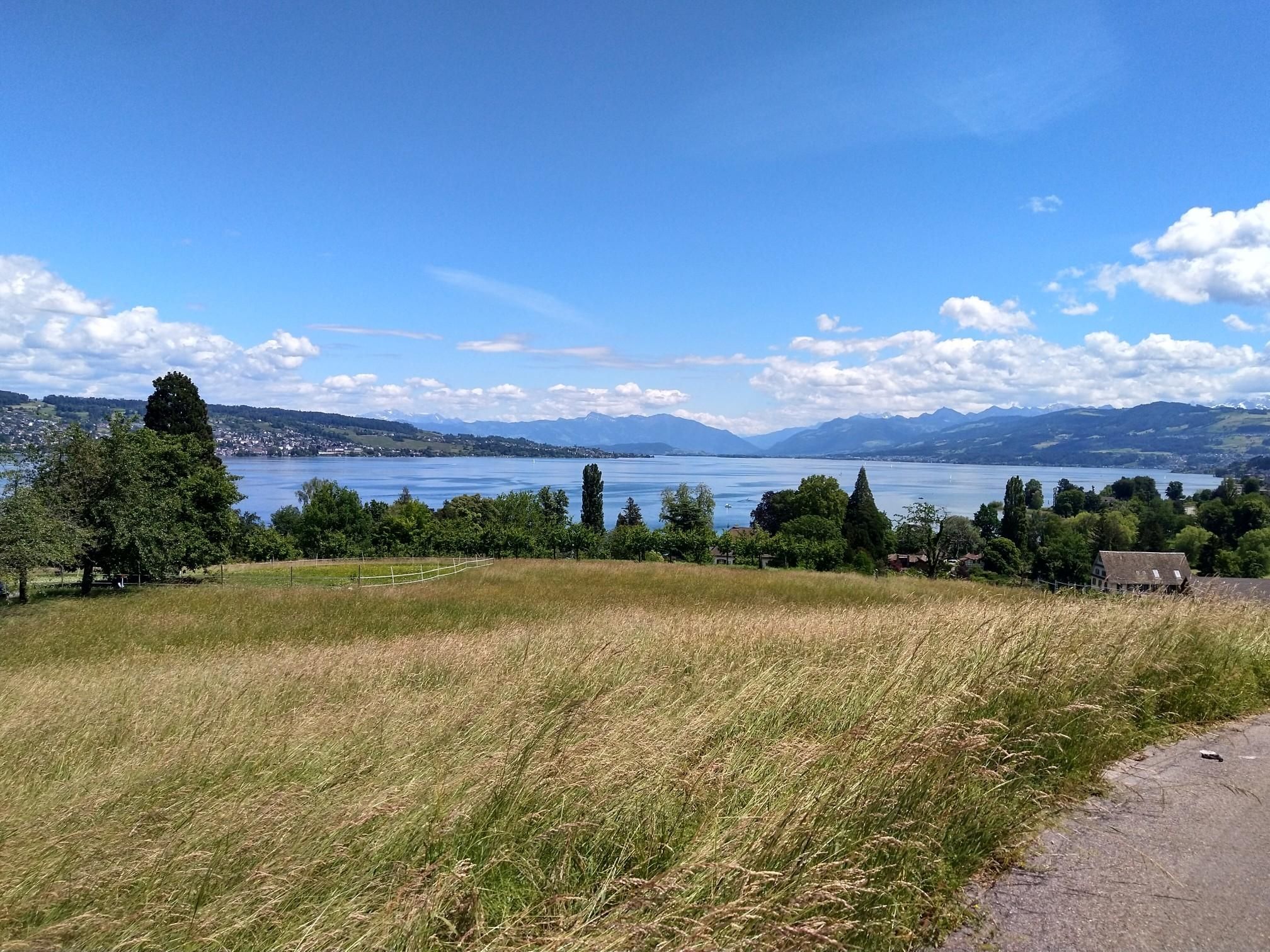
The Chli Aubrig is a prominent pre-Alpine peak in the canton of Schwyz, reaching an altitude of 1642 meters. From its scenic summit, it offers an impressive view of Lake Zurich, the Schwyz Alps, and the Mittelland. Thanks to well-marked hiking trails, the Chli Aubrig is a popular destination for hikers and nature lovers.
3
0

Popular transition from Lake Zurich to Lake Sihl.
0
0

Conditionally very demanding. 200m steep running section.
0
0

magnificent view of the Alps
0
0

This "highlight" is misleading under this name, this is not the Chli Aubrig!
0
0

Very nice stop, good restaurant, charging facilities for e-bikers.
0
0

The restaurant reopens in 2025. Rather expensive.
1
0

A beautifully designed break area with seating, a fireplace, and firewood is available. The perfectly designed mountain display provides a glimpse into the world of the summits.
0
0
Frequently Asked Questions
How many mountaineering routes are available around Obersee?
There are 9 distinct mountaineering routes around Obersee, offering a variety of experiences for different skill levels.
What is the best season for mountaineering in the Obersee region?
The best season for mountaineering around Obersee is typically from late spring through early autumn (May to October), when trails are generally free of snow and weather conditions are more stable. Always check local weather forecasts before heading out.
Are there any beginner-friendly mountaineering routes near Obersee?
While many routes in the Obersee region involve significant elevation gain, there are moderate options suitable for those with some experience. For example, the Etzelpass loop from Pfäffikon SZ is a moderate 5.0-mile (8.1 km) route that takes about 3 hours to complete, featuring a notable ascent towards the Etzelpass.
Which routes offer a more challenging mountaineering experience?
For experienced mountaineers seeking a challenge, routes like the Chli Aubrig Summit – Gross Aubrig Summit loop from Sattelegg are classified as difficult. This 8.4-mile (13.5 km) route involves substantial elevation changes and takes around 5 hours 10 minutes to complete.
Are there any circular mountaineering routes around Obersee?
Yes, many of the mountaineering routes in the Obersee region are designed as loops. Examples include the Alp Wildegg Mountain Hut – Chli Aubrig Summit loop from Sattelegg, a moderate 6.2-mile (9.9 km) path, and the Tweralpspitz – Chümibaren loop from Eschenbach (SG), which is 6.5 miles (10.5 km) long.
What kind of attractions can I see along the mountaineering routes?
The region around Obersee offers various points of interest. You might encounter stunning views such as the View of Rapperswil's Old Town and Castle, or enjoy the tranquility of the Shore of Lake Obersee. Other notable spots include the Wooden Bridge Rapperswil–Hurden.
Is it possible to find parking near the starting points of these routes?
Parking availability varies by trailhead. Many popular starting points, such as Pfäffikon SZ or Sattelegg, typically have designated parking areas, though they can fill up quickly during peak season. It's advisable to arrive early or consider public transport where feasible.
What do other mountaineers enjoy most about the Obersee region?
The mountaineering routes around Obersee are highly rated by the komoot community, with an average score of 5.0 stars. Reviewers often praise the diverse terrain, from mountain passes to alpine summits, and the opportunities to visit mountain huts along the way.
Are there any permits required for mountaineering in Obersee?
Generally, no specific permits are required for day mountaineering trips on established trails in the Obersee region. However, always respect private land and any local regulations, especially if venturing off marked paths or staying overnight in alpine huts.
Can I find routes that pass by mountain huts?
Yes, some routes in the Obersee region lead to or pass by mountain huts, offering a chance for a break or refreshment. The Alp Wildegg Mountain Hut – Chli Aubrig Summit loop from Sattelegg is one such route that features an alpine mountain hut.
Are there any family-friendly mountaineering options around Obersee?
While mountaineering routes generally require a good level of fitness, some of the moderate loops with less extreme elevation might be suitable for active families with older children. Always assess the route's difficulty and your family's capabilities before setting out.
What should I know about weather conditions when planning a mountaineering trip?
Mountain weather can change rapidly in the Obersee region. It's crucial to check the forecast immediately before your trip and be prepared for varying conditions, including sudden drops in temperature, rain, or even snow at higher elevations, even in summer. Layered clothing is highly recommended.
Most popular routes around Obersee
Most popular attractions around Obersee

Get inspired with the komoot mobile app


Explore more
Browse the best Mountain Hikes & Routes in other regions.
