The best mountain hikes around Parc régional Chasseral
30
hikers
6
hikes
Mountaineering routes around Parc régional Chasseral traverse a varied topography featuring forests, meadows, and significant mountain peaks. The region is dominated by Mont Chasseral, the highest point in the Bernese Jura at 1,607 meters above sea level, offering extensive panoramic views. Mountaineers encounter diverse terrain, including challenging gorges like Combe Grède with ladders, and expansive wooded pastures. This landscape provides a range of mountaineering experiences from moderate ascents to more difficult, longer trails.
Best mountaineering routes around Parc régional Chasseral
…Last updated: July 8, 2026
12
hikers
10.9km
04:04
710m
710m
Moderate mountaineering route. Good fitness required. Easily-accessible paths. Suitable for all skill levels.
6
hikers
9.21km
03:40
690m
690m
Moderate mountaineering route. Good fitness required. Easily-accessible paths. Suitable for all skill levels.

Sign up for free
2
hikers
3.92km
01:47
390m
400m
Moderate mountaineering route. Good fitness required. Easily-accessible paths. Suitable for all skill levels.
1
hikers
Moderate mountaineering route. Good fitness required. Easily-accessible paths. Suitable for all skill levels.
6
hikers
10.3km
03:44
580m
580m
Moderate mountaineering route. Good fitness required. Mostly accessible paths. Sure-footedness required.
Our route recommendations are based on thousands of hikes, rides, and runs completed by other people on komoot.
Start today with a free account
Your next adventure awaits.
Login or Signup
Popular around Parc régional Chasseral
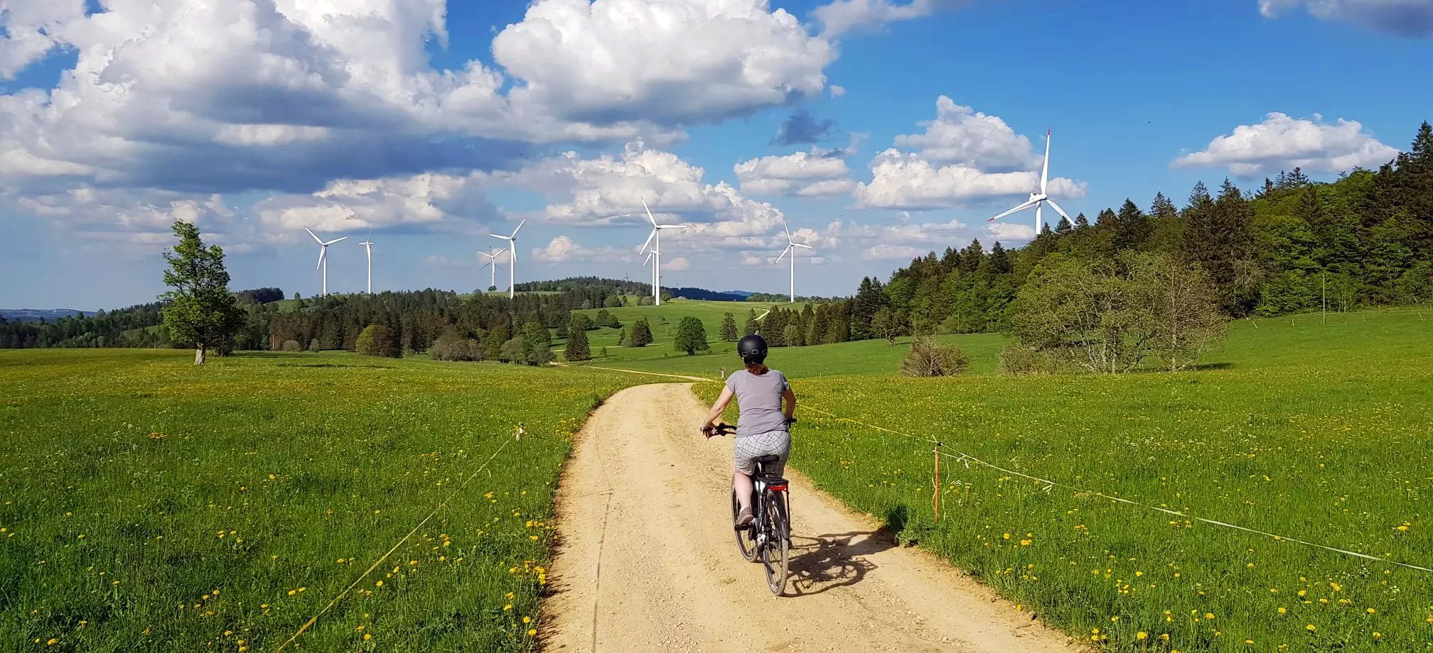
Arc jurassien in Switzerland – 4 stages through the wild Jura Mountains
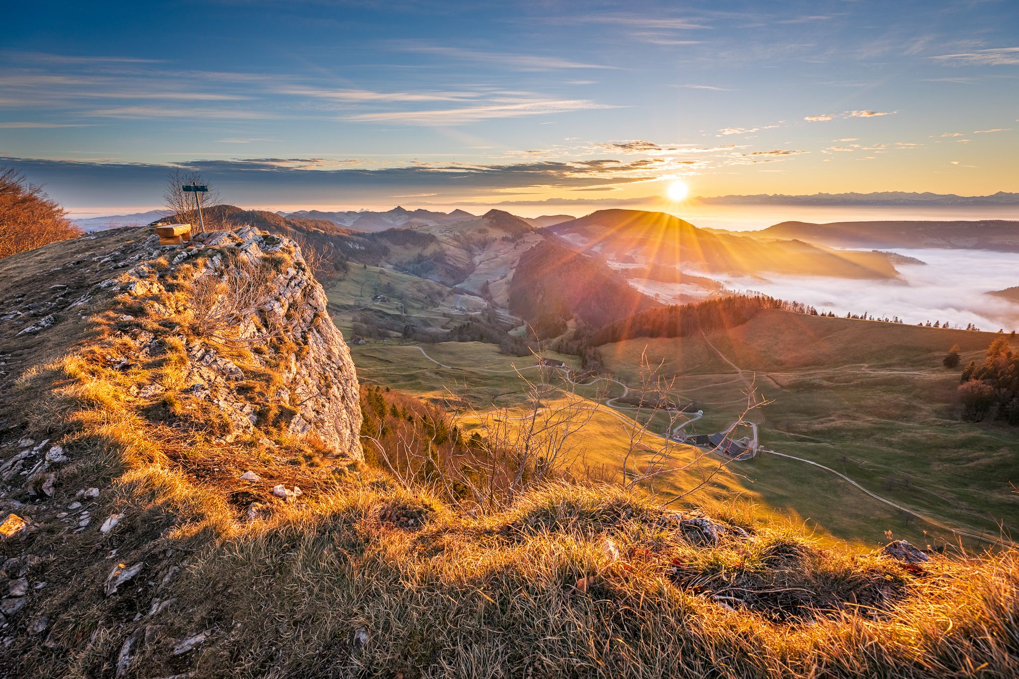
Jura Crest Trail - Rocks, distant views and fondue - 16 stages

Trans Swiss Trail – Hiking across Switzerland
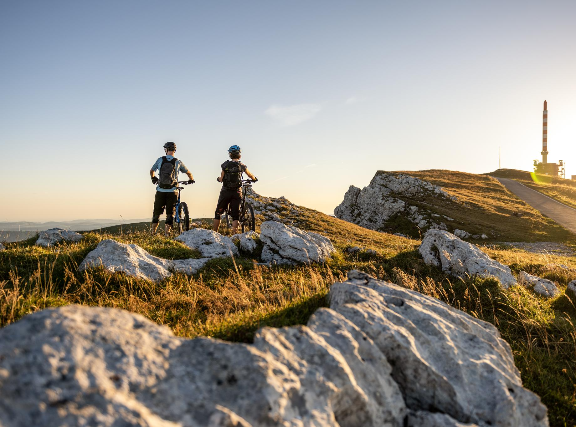
MTB rides in the Jura & Three-Lakes region
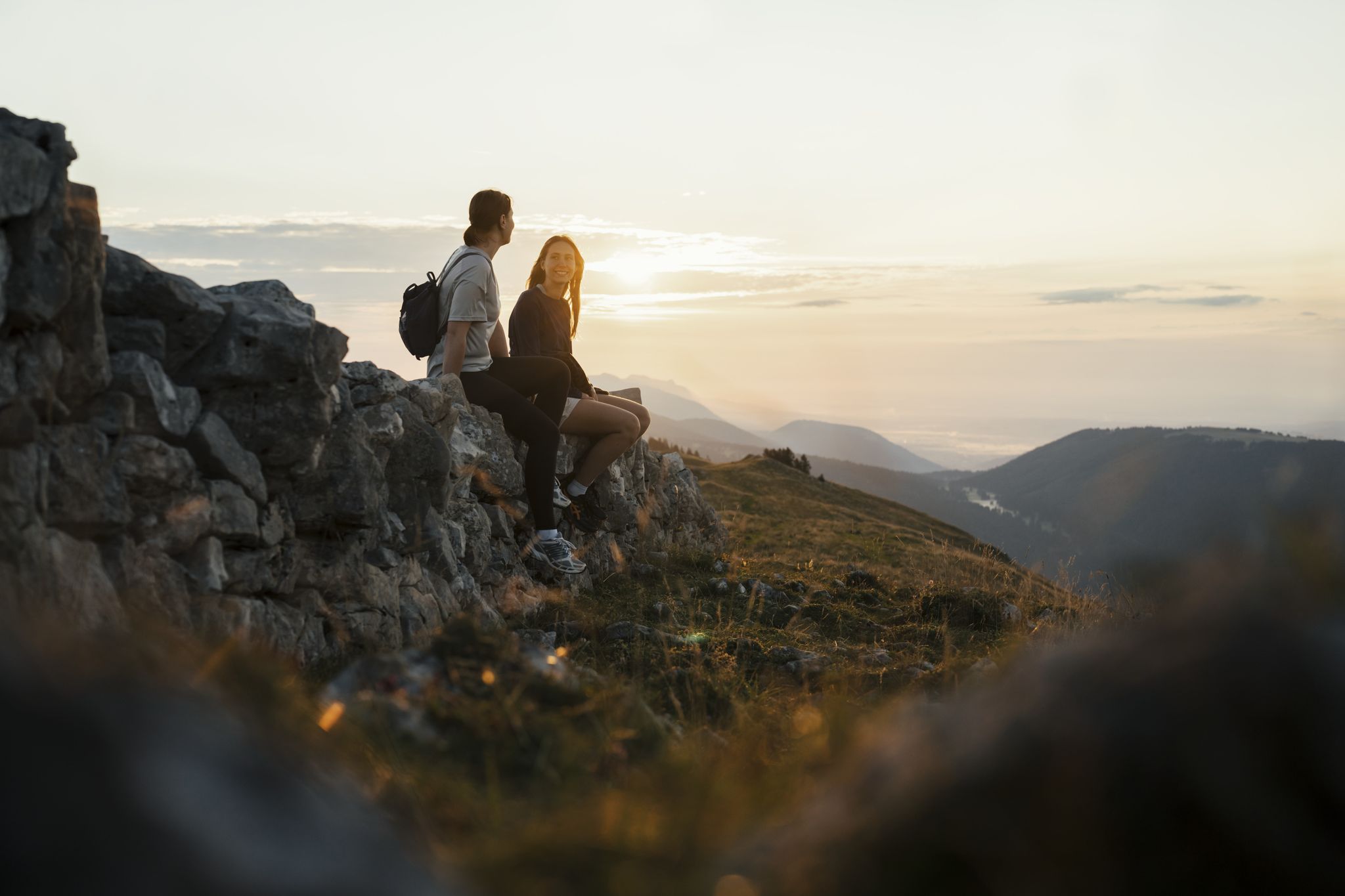
Panoramic hikes in the Jura & Three-Lakes Region
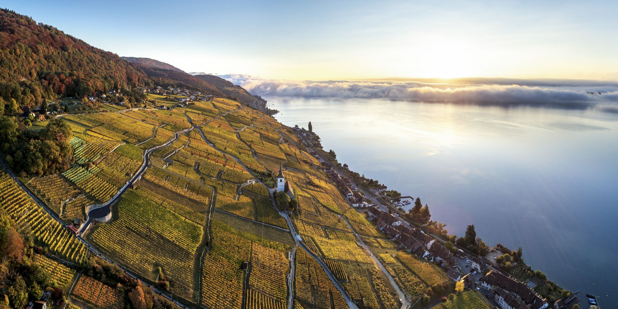
Waterside hiking in the Jura & Three-Lakes region
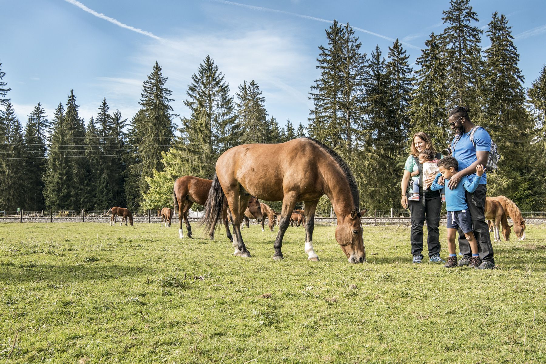
Jura — Visit the farms of organic pioneers
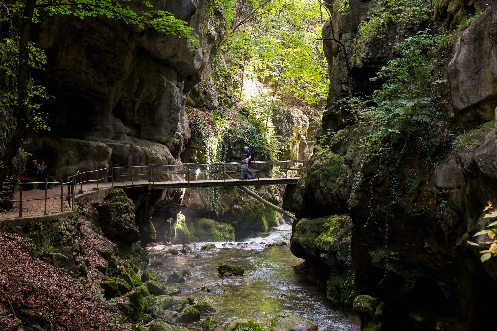
Schluchtenwanderungen im Jura & Drei-Seen-Land
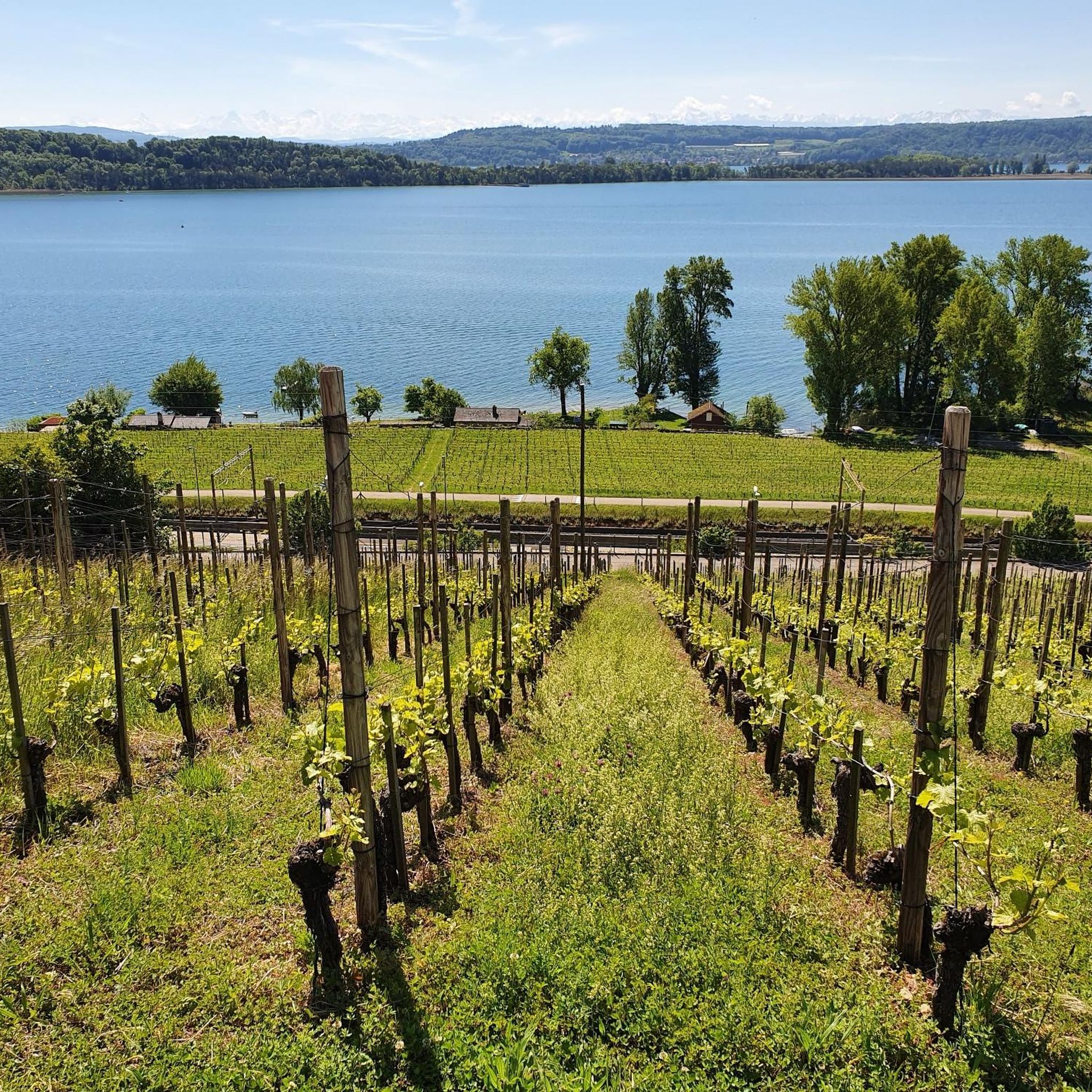
Hiking around Parc régional Chasseral
Running Trails around Parc régional Chasseral
Other adventures around Parc régional Chasseral


Tips from the Community


pretty here, very pretty
0
0

It is definitely recommended to walk the entire 3 km around the lake. The stunning views will reward you for your efforts.
0
0

The moor lake is located at 998 m above sea level in the municipality of Saignelégier, approximately halfway between Saignelégier and Tramelan. It is 600 m long, at least 60 m wide, and approximately 4.5 m deep. The Étang de la Gruère nature reserve, including the forest area surrounding the lake itself and two other small moor ponds northeast of it, covers an area of approximately 1 km².
1
0

A detour to this natural pearl is worthwhile
0
0
Particularly beautiful in winter when the fog covers the central plateau.
0
0

Dogs must be on leash for the beginning of the walk because it's a wildlife park
0
0
Frequently Asked Questions
How many mountaineering routes are available in Parc régional Chasseral?
There are 9 mountaineering routes available in Parc régional Chasseral, ranging from moderate to difficult. These routes offer diverse experiences across the region's varied landscapes.
What kind of terrain can I expect on mountaineering routes in Parc régional Chasseral?
Mountaineering routes in Parc régional Chasseral traverse a varied topography, including dense forests, open meadows, and significant mountain peaks. You'll encounter challenging features like gorges, such as the Twannbach Gorge, and expansive wooded pastures. The region is dominated by Mont Chasseral, offering extensive panoramic views.
Are there any circular mountaineering routes in the region?
Yes, several routes are designed as loops. For example, the Chasseral loop from Nods is a popular moderate option, and the Plateforme – Cabane des Gorges loop from Moutier offers a diverse natural experience through gorges and forests.
Are there any routes suitable for beginners or those seeking an easier mountaineering experience?
While there are no routes classified as 'easy' for mountaineering, there are several moderate options. The Chasseral loop from Nods is a moderate route that provides steady climbs and expansive views, making it a good starting point for those comfortable with some elevation gain.
What are some of the more challenging mountaineering routes in Parc régional Chasseral?
For experienced mountaineers, the Chasseral loop from Les Savagnières dessous is a difficult 19.4 km trail with significant elevation gain and panoramic vistas. Another challenging option is the Küferweg Trail (T3) loop from Bezirk Lebern, which offers a demanding experience over 12.3 km.
Can I find waterfalls or gorges along the mountaineering routes?
Yes, the region is known for its impressive gorges and waterfalls. You can explore the Twannbach Gorge, which features hiking trails, or visit the Pilouvi Waterfalls. The Combe Grède nature reserve also presents a challenging climb with ladders through a gorge.
What are the best times of year for mountaineering in Parc régional Chasseral?
The best time for mountaineering is typically from spring through autumn when trails are clear of snow. However, in winter, areas like Chasseral transform into a cross-country skiing and snowshoeing paradise, offering different outdoor experiences.
Are there any notable landmarks or viewpoints to look out for?
Absolutely. Mont Chasseral, the highest peak in the Bernese Jura, offers breathtaking 360-degree panoramic views that can extend to the distant Alps. The telecommunication tower at the summit is a prominent landmark. You can also find scenic mountain passes like Col du Chasseral.
Are there places to eat or rest along the routes?
Yes, the park features traditional mountain inns known as Métairies. These offer local products like cheese, butter, and milk, providing excellent opportunities for rest and enjoyment of regional delicacies during your mountaineering trip.
Is public transport available to access the mountaineering routes?
Parc régional Chasseral is accessible by public transport, with various bus routes serving villages around the park. It's advisable to check local transport schedules to plan your access to specific trailheads.
What do other mountaineers enjoy most about the routes in Parc régional Chasseral?
Mountaineers frequently praise the diverse landscapes, from challenging gorges to expansive wooded pastures, and the rewarding panoramic views from Mont Chasseral. The well-marked trails and the opportunity to experience the unique Jura topography are also highly valued.
Most popular routes around Parc régional Chasseral
Most popular attractions around Parc régional Chasseral

Get inspired with the komoot mobile app


Explore more
Browse the best Mountain Hikes & Routes in other regions.
