Top 20 Mountain Passes around Reckingen-Gluringen
Best mountain passes around Reckingen-Gluringen are situated in the Goms valley of Upper Valais, serving as a base for exploring significant Swiss mountain passes. This region is characterized by its high-alpine landscapes, historical routes, and connections between various cantons. The passes offer diverse terrain, from winding ascents to rock-strewn environments with glacial lakes. Reckingen-Gluringen provides access to routes known for their challenging climbs and panoramic vistas.
Best mountain passes around Reckingen-Gluringen
- The most popular mountain passes is Arbola Pass,…
Last updated: October 13, 2026
Arbola Pass
Highlight • Mountain Pass
Translated by Google •
Tip by

Scatta Minoia Pass and Ettore Conti Shelter
Highlight • Mountain Pass
Translated by Google •
Tip by

Sign up now to discover places like this
Get recommendations on the best single tracks, peaks, & plenty of other exciting outdoor places.
Nufenen Pass from Ulrichen
Highlight (Segment) • Mountain Pass
Translated by Google •
Tip by

Nufenen Pass
Highlight • Mountain Pass
Translated by Google •
Tip by

Sidelhorn Summit
Highlight • Summit
Translated by Google •
Tip by

Sign up for free to discover even more mountain passes around Reckingen-Gluringen.
Already have an account?
Start today with a free account
Your next adventure awaits.
Popular around Reckingen-Gluringen
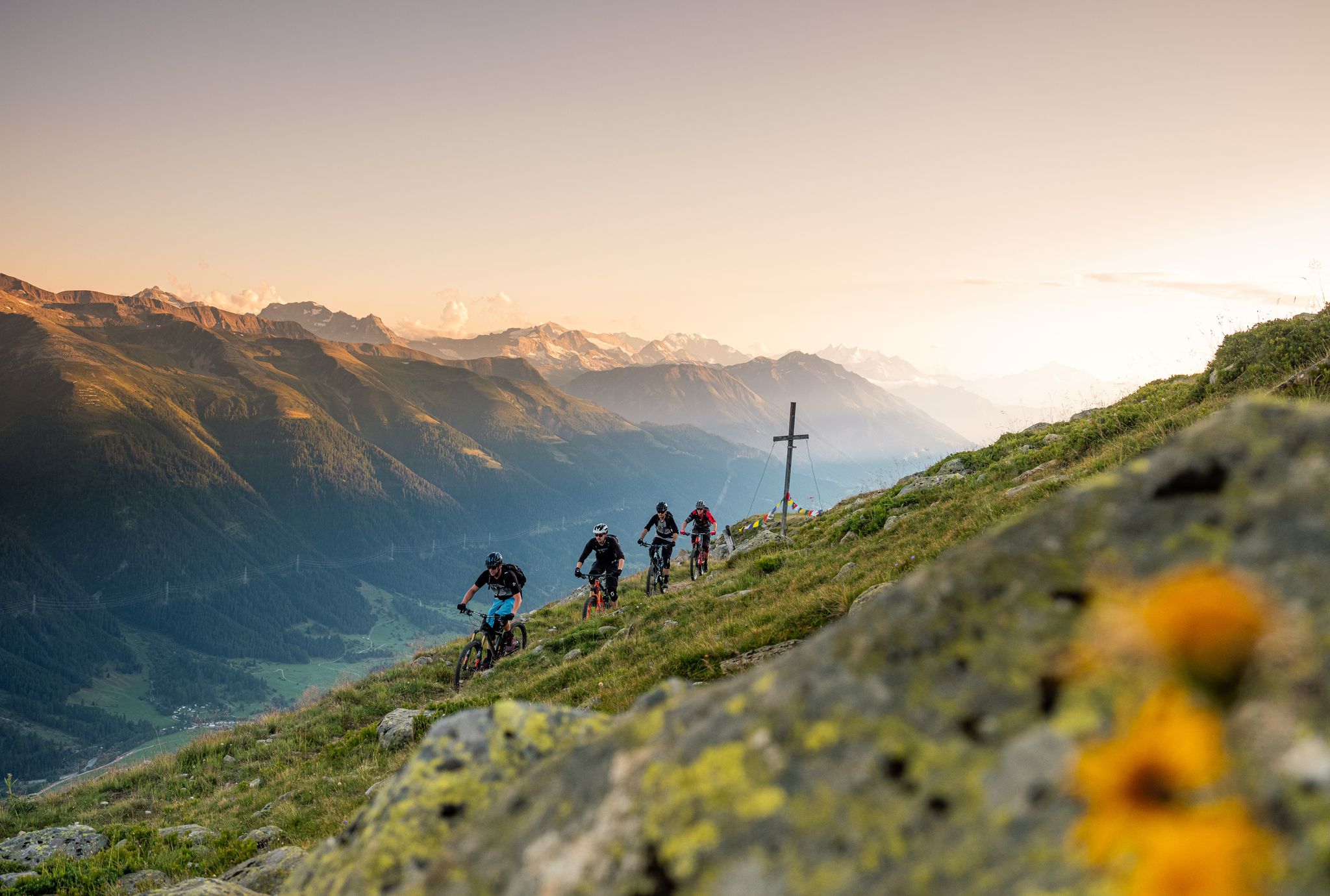
Rugged trails, spectacular views: trail adventures in the high valley of Goms
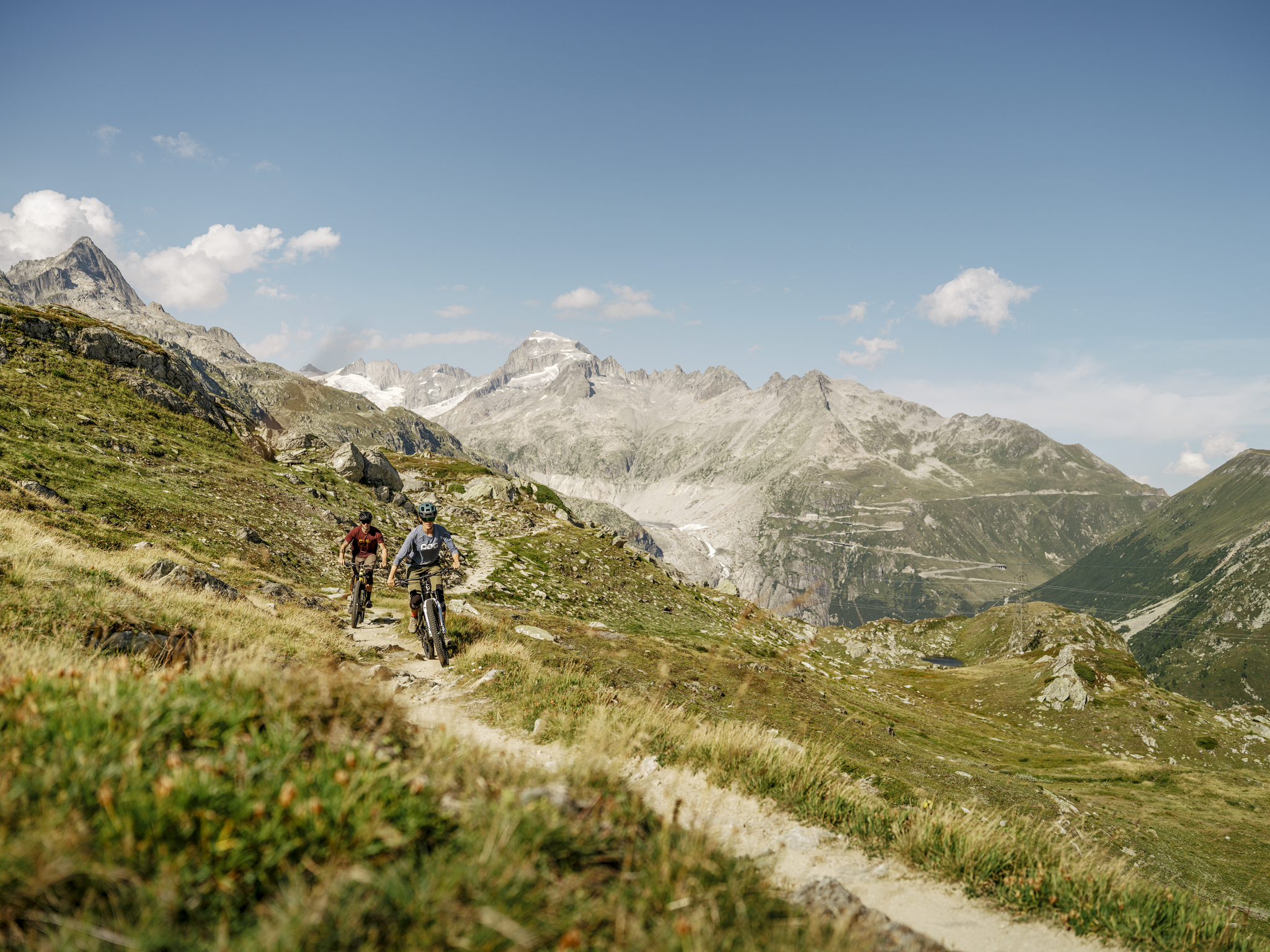
MTB adventures in the Upper Valais – Valais Panorama Bike Switzerland
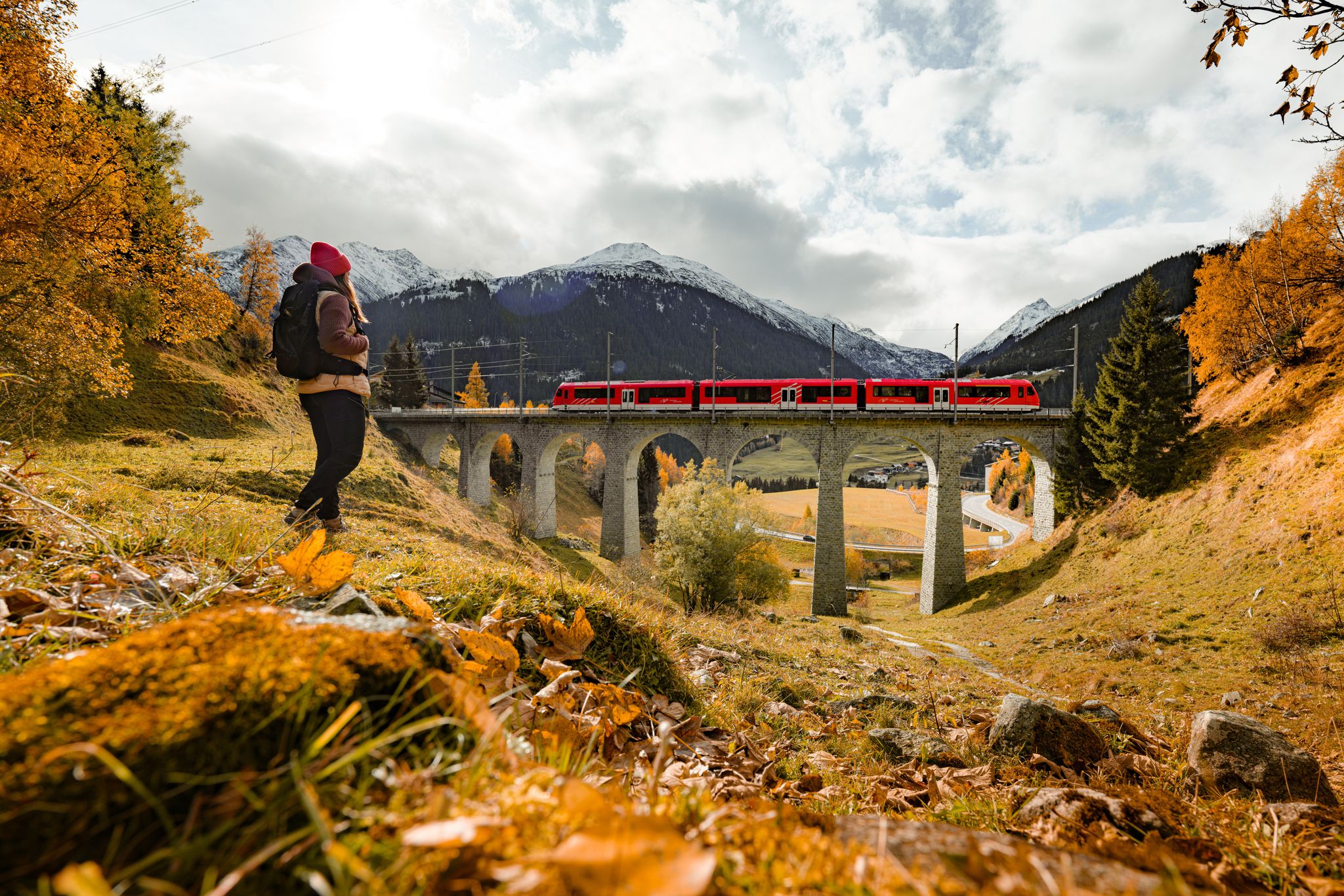
Fantastic hiking through the Alps with the Matterhorn Gotthard Railway
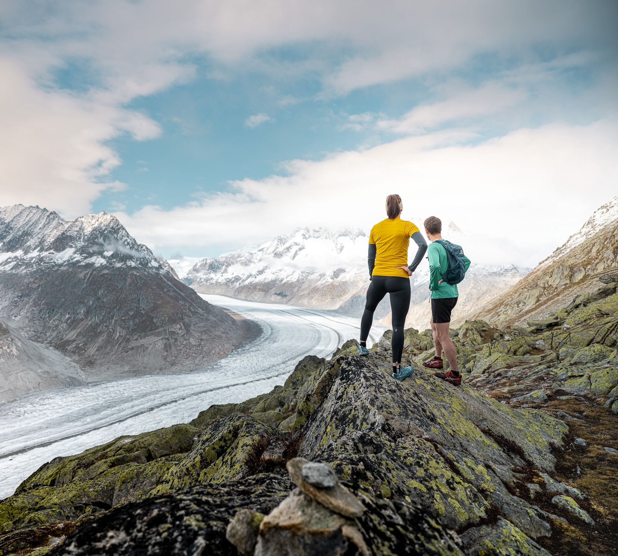
Thrills and adventure on the Stoneman Glaciara
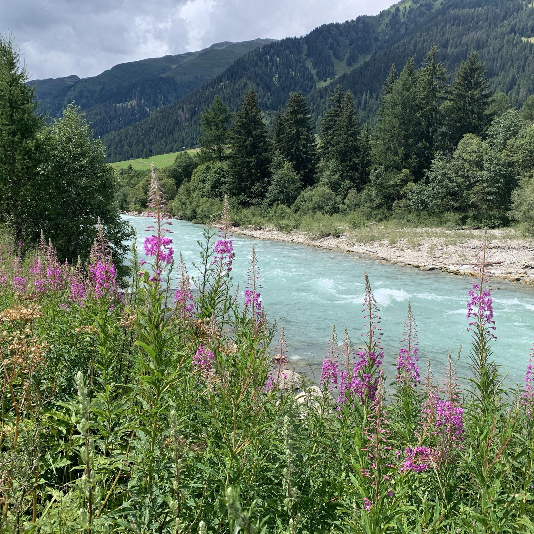
MTB Trails around Reckingen-Gluringen
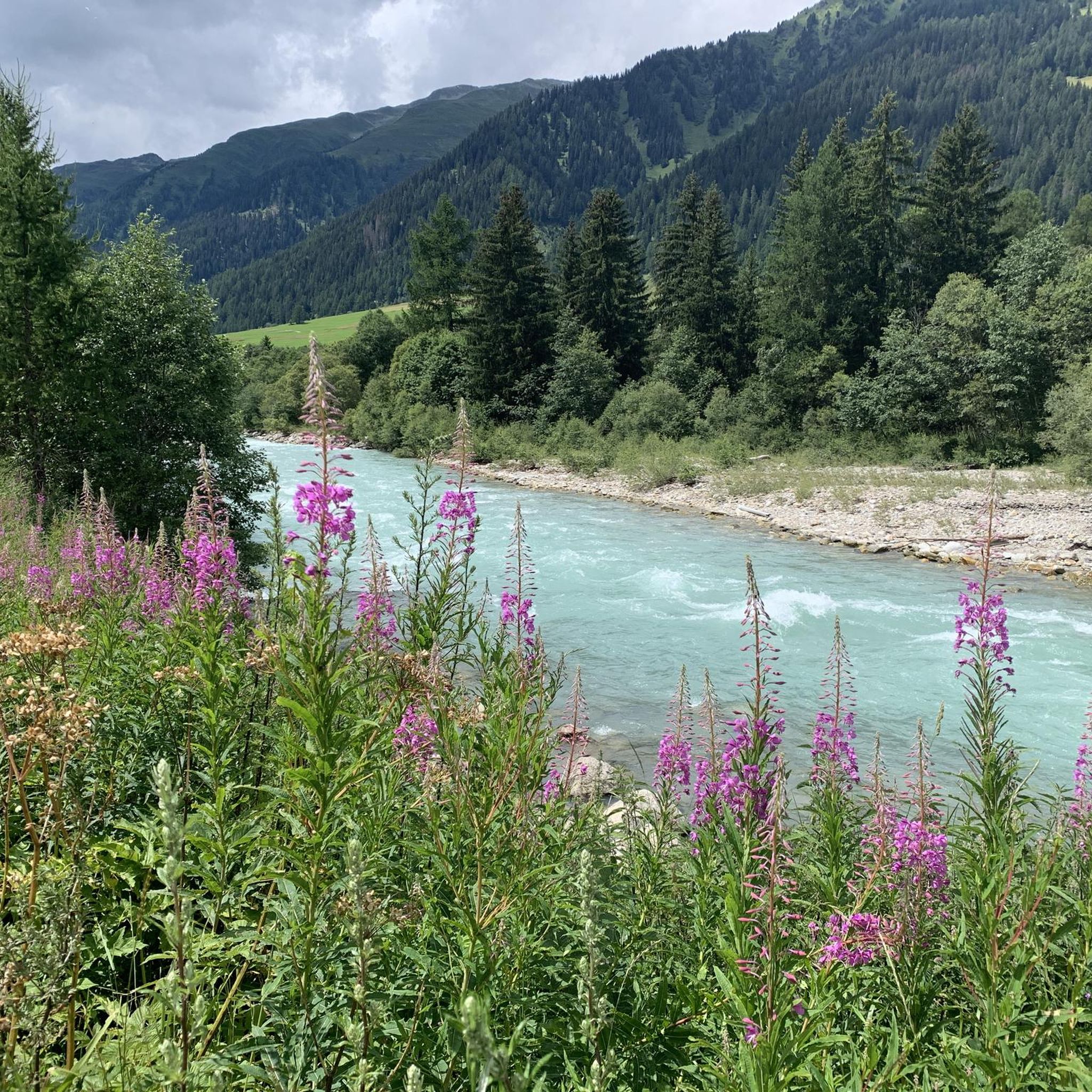
Road Cycling Routes around Reckingen-Gluringen
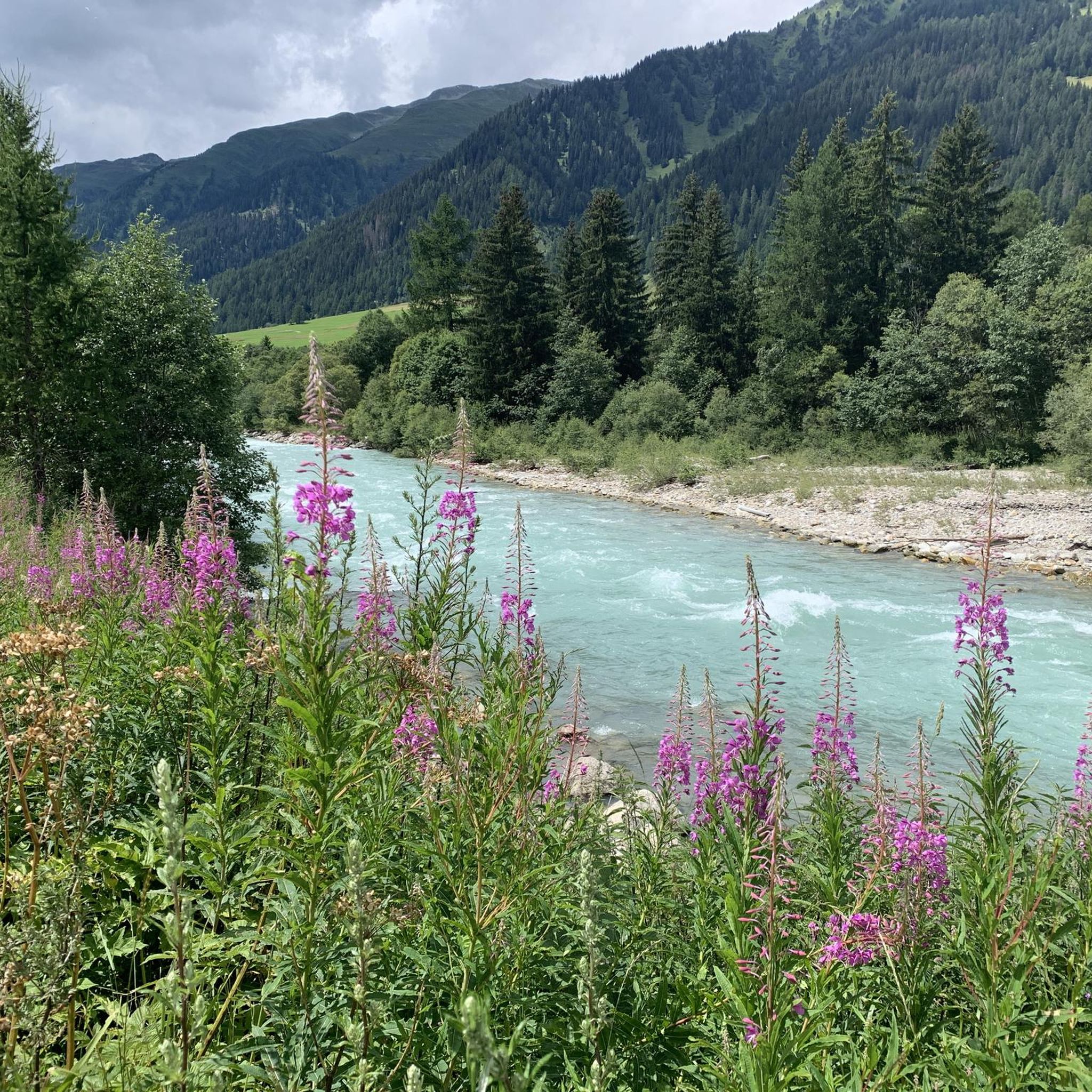
Cycling around Reckingen-Gluringen
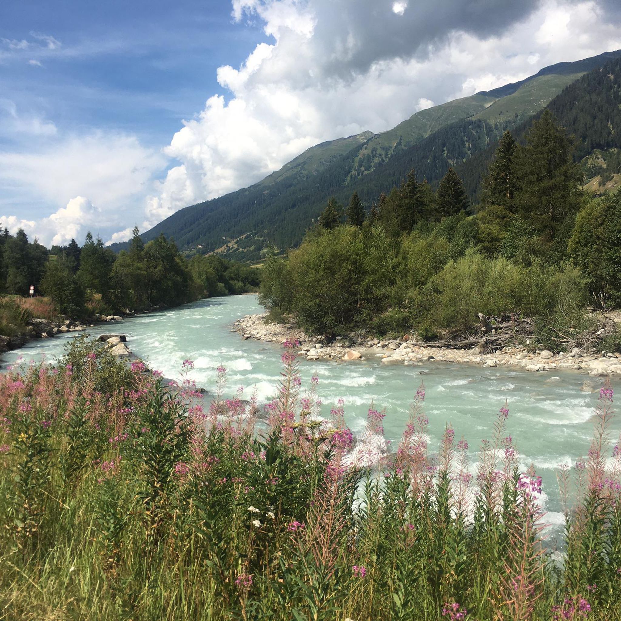
Hiking around Reckingen-Gluringen
Running Trails around Reckingen-Gluringen

Gravel biking around Reckingen-Gluringen
Other adventures around Reckingen-Gluringen


Tips from the Community

Bivouac practically empty. There are no beds, no mattresses. Inside only a wooden pallet. Sleeping in the bivouac is prohibitive because it means sleeping on the ground on a rough stone floor covered with thin wooden planks. Better to descend to the Margaroli hut (1 hour and a half) where there is a bivouac with 6 beds (Bivacco Italo Valmaggia). It is a winter bivouac but at least it has beds and mattresses.
0
0

The bivouac is being renovated, it is clean but for now there are no mattresses
0
0

At 2,478 meters above sea level, the Nufenen Pass (Nufenenpass in German) connects the Goms Valley in the upper Valais with the Bedretto Valley in the upper Ticino. From Airolo, the climb is approximately 22 kilometers (average gradient 5.6%), while from Ulrichen it is shorter but more challenging: 14 kilometers at an average gradient of approximately 7.9%.
0
0
Be careful, there are no more mattresses in the bivouac. A window is broken; it gets very, very cold at night. No fire pit. Don't plan to spend the night there unless it's an emergency.
1
0

The Sidelhorn is a 2764 m high mountain in the Bernese Alps massif in Switzerland. It lies on the border of the cantons of Valais and Bern and on the European main watershed. https://de.m.wikipedia.org/wiki/Sidelhorn
4
0

Ascent and descent to Bivacco EtteroConti high alpine terrain Bike often has to be carried over large boulders
0
1

Plenty of space to park. From here you can also start tours towards Airolo or Ulrichen and then take the post bus back.
2
0

If you are waiting for the post bus (Airolo-Ulrichen-Oberwald route): It comes every two hours at most.
3
0
Frequently Asked Questions
What are some of the most notable mountain passes accessible from Reckingen-Gluringen?
Reckingen-Gluringen serves as an excellent base for exploring iconic Swiss mountain passes. Key passes in the region include the Furka Pass, Nufenen Pass, and Grimsel Pass, which are renowned for their breathtaking scenery and challenging routes. Additionally, the Arbola Pass is a historical crossing from Piedmont to Valais, and the Scatta Minoia Pass offers stunning views at 2,599 meters above sea level.
What unique natural features can I expect to see on these mountain passes?
The mountain passes around Reckingen-Gluringen offer diverse natural beauty. The Furka Pass provides stunning views of the mighty Rhône Glacier. The Nufenen Pass features a rugged, high-alpine landscape and is notable as the source of the Ticino River. The Grimsel Pass traverses a rock-strewn environment dotted with glacial lakes and waterfalls. You can also find expansive views from summits like Sidelhorn Summit.
Are there any historically significant mountain passes in the region?
Yes, the region boasts passes with rich history. The Furka Pass is historically significant and was even featured in the James Bond film "Goldfinger." The Arbola Pass is a historical crossing from Piedmont to Valais, used since Roman and Celtic times, featuring a mule track with steps on the Italian side.
What kind of outdoor activities can I do near the mountain passes around Reckingen-Gluringen?
The region offers a variety of outdoor activities. You can find numerous road cycling routes, including challenging loops around the Grimsel and Nufenen Passes. Gravel biking is also popular, with routes like "The 14 switchbacks to the Breithorn." For hikers, there are mountain hikes, such as the difficult "Finsteraarhorn Summit loop." You can explore more options in the Road Cycling Routes, Gravel Biking, and Mountain Hikes guides.
Are there challenging cycling routes available on these passes?
Absolutely. The Nufenen Pass, in particular, is a favorite for those seeking challenging cycling routes due to its high average grade and numerous serpentines. It's often combined with the Furka and Grimsel Passes for an epic tour. The Nufenen Pass from Ulrichen is known for its demanding climb. You can find more challenging options in the Road Cycling Routes around Reckingen-Gluringen guide.
Can I find hiking trails suitable for families near Reckingen-Gluringen's mountain passes?
While many passes offer challenging terrain, the Goms valley itself provides serene and sunny high-valley experiences suitable for various hiking levels. For specific family-friendly options, it's best to check individual trail descriptions for difficulty ratings and terrain. The Mountain Hikes around Reckingen-Gluringen guide can help you filter for easier routes.
What is the best time of year to visit the mountain passes around Reckingen-Gluringen?
The best time to visit the mountain passes is typically from late spring to early autumn (June to October) when the roads are clear of snow and the weather is most favorable for driving, cycling, and hiking. During this period, you can fully enjoy the panoramic views and outdoor activities. Some passes may close during winter due to heavy snowfall.
How can I reach the mountain passes around Reckingen-Gluringen by public transport?
Reckingen-Gluringen is located in the Goms valley, which is well-connected by public transport, particularly the Matterhorn Gotthard Bahn. From various points in the valley, you can often find bus connections that can take you closer to the base of some passes or to starting points for hikes. For detailed schedules and routes, it's recommended to check local public transport websites.
Is parking available at the mountain passes?
Yes, parking is generally available at the summits or key viewpoints of the major mountain passes like Furka, Nufenen, and Grimsel. These areas are popular tourist destinations, and infrastructure for visitors, including parking, is usually provided. However, during peak season, parking lots can fill up quickly, especially at popular viewpoints.
What makes the Nufenen Pass a unique destination?
The Nufenen Pass is unique as the highest paved mountain pass entirely within Switzerland, reaching an altitude of 2,478 meters. It connects Valais with Ticino and is also the source of the Ticino River. It offers a rugged, high-alpine landscape with expansive views, making it a compelling destination for nature enthusiasts and challenging cycling tours.
What can I expect when visiting the Grimsel Pass?
The Grimsel Pass, at 2,165 meters, connects the Bernese Oberland with Valais. Visitors can expect dramatic scenery, including views of glacial lakes and the impressive Grimsel Hospiz. It's known for its irregular ascent and distinctive high-alpine environment. A viewpoint near the pass offers stunning vistas. You can also easily access Sidelhorn Summit from here for extensive panoramic views.
Is the Arbola Pass suitable for hikers looking for a historical experience?
Yes, the Arbola Pass is an excellent choice for hikers interested in history. It's a historical pass crossing from Piedmont to Valais, used since Roman and Celtic times. On the Italian side, it features a mule track with steps, offering a unique blend of natural beauty and historical significance, along with picturesque views of the Pianboglio and Codelago reservoirs.
What is the Scatta Minoia Pass known for?
The Scatta Minoia Pass is located at 2,599 meters above sea level and marks the border between Val Formazza and Valle Devero. It is known for hosting the Ettore Conti Bivouac and offering wide views. The Great Crossing of the Alps (GTA) also passes through this location, making it a significant point for long-distance hikers.
Most popular routes around Reckingen-Gluringen
Most popular attractions around Reckingen-Gluringen

Get inspired with the komoot mobile app


Explore more
See even more epic mountain passes by checking out these guides around Reckingen-Gluringen:
