The best mountain hikes around Ziefen
5.0
(2)
11
hikers
2
hikes
Mountaineering routes around Ziefen traverse a landscape characterized by rolling hills, dense forests, and notable viewpoints. The region features varied terrain, including ascents to scenic "flue" summits and paths through wooded valleys. Mountaineering in this area often involves moderate climbs and descents, offering panoramic vistas of the surrounding countryside. The routes provide opportunities to explore both natural features and historical sites.
Best mountaineering routes around Ziefen
- The most popular mountaineering route is Chilchzimmersattel – Belchenflue Summit Viewpoint loop from Langenbruck…
Last updated: July 8, 2026
5.0
(1)
3
hikers
11.2km
03:29
410m
410m
Moderate mountaineering route. Good fitness required. Mostly accessible paths. Sure-footedness required.
2
hikers
4.88km
01:40
200m
210m
Moderate mountaineering route. Great for any fitness level. Mostly accessible paths. Sure-footedness required.

Sign up for free
3
hikers
13.1km
04:01
430m
430m
Moderate mountaineering route. Good fitness required. Easily-accessible paths. Suitable for all skill levels.
5.0
(1)
2
hikers
8.20km
02:28
240m
240m
Moderate mountaineering route. Good fitness required. Easily-accessible paths. Suitable for all skill levels.
1
hikers
12.3km
03:47
410m
410m
Moderate mountaineering route. Good fitness required. Mostly accessible paths. Sure-footedness required.
Our route recommendations are based on thousands of hikes, rides, and runs completed by other people on komoot.
Start today with a free account
Your next adventure awaits.
Login or Signup
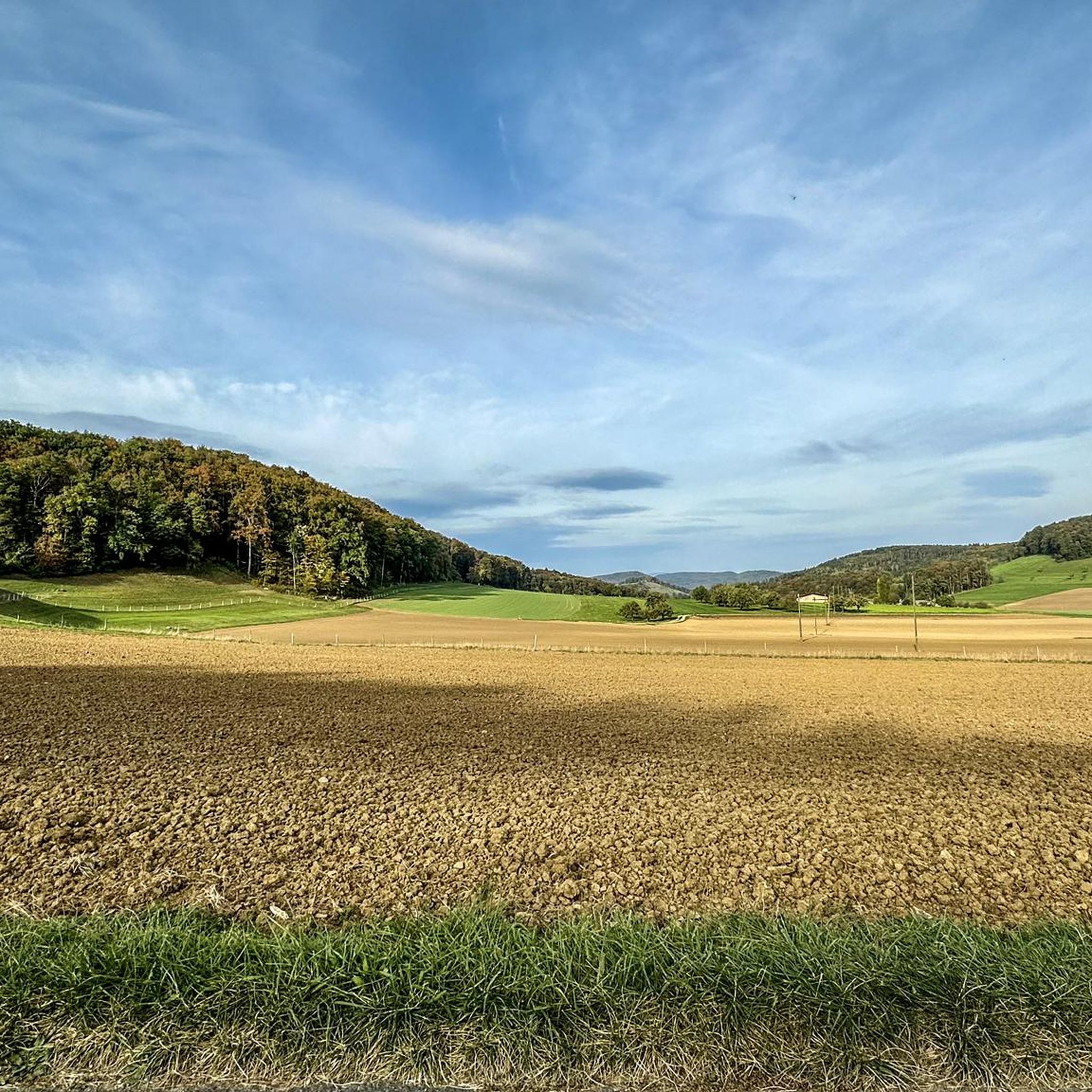
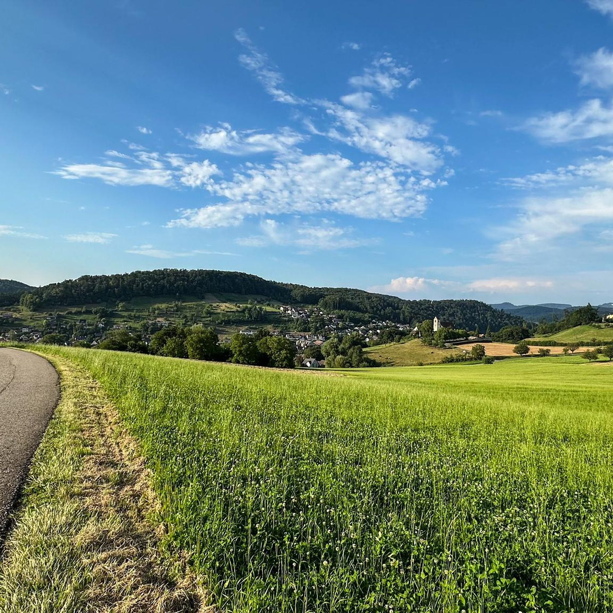
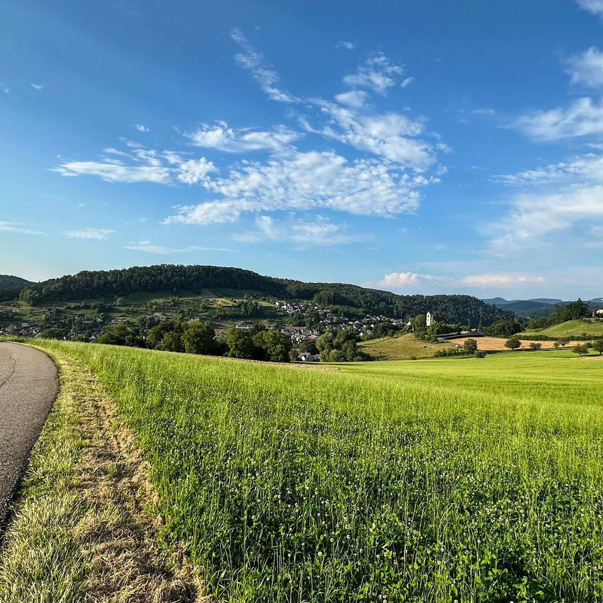
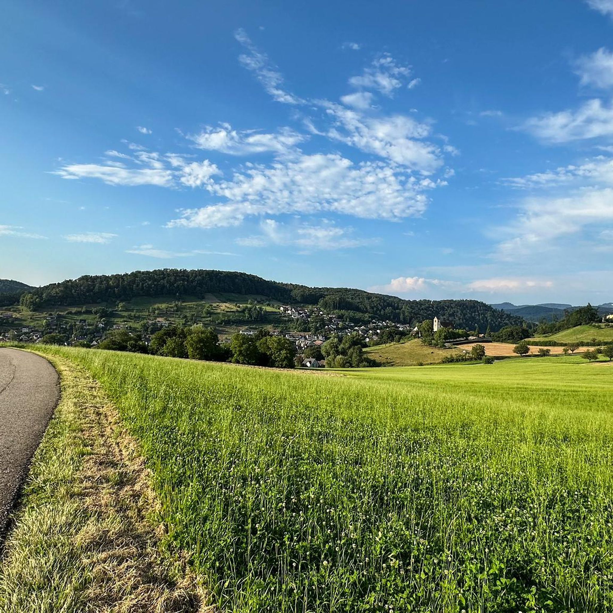
Tips from the Community

Maya's Häxehüsli is open from May 1st to October 31st. Friday from 1:00 PM until sold out. Saturday and Sunday from 11:00 AM until sold out.
0
0

The Glögglifels is a striking rock formation above Laufen (BL) in the Jura Mountains. It lies on the hiking trail towards the Blauenpass and offers a beautiful view into the Birs Valley. The name likely derives from its bell-like shape or a former bell-ringing site.
5
0
The Glögglifels is a striking rock formation above Zwingen in the Laufental valley. It offers a beautiful view over the Birstal valley and is a popular viewpoint for short hikes. Legends and the name itself lend the place a mystical character.
7
0

Beautiful mountain lodge as a good starting point for a hike across the Belchenflue.
2
0

Maya's Häxehüsli is hidden in the forest. A simple but special restaurant
0
0
In addition to its scenic beauty, the Kaltbrunnental Valley is a great outdoor playground for families. The stream offers fun activities and children's canyoning, easy access to the water, and barbecue areas are available. A hot tip, especially in summer.
1
0

A challenging pass in the Tafeljura, the climb is made up of a small road with a maximum gradient of 15% and little traffic. The scenery is very scenic, with magnificent panoramas along the way.
1
1

A brief look back and relics of history. Some information boards along the way describe the events of that time and provide good background information.
1
0
Frequently Asked Questions
What is the typical difficulty level of mountaineering routes around Ziefen?
The mountaineering routes in the Ziefen area are generally classified as moderate. This means they involve steady climbs and descents, often on well-maintained paths, suitable for those with a reasonable level of fitness.
How long are the mountaineering routes in the Ziefen area?
The routes vary in length, offering options for different preferences. For example, the Chilchzimmersattel – Belchenflue Summit Viewpoint loop from Langenbruck is about 7.0 miles (11.2 km) and takes around 3 hours 30 minutes, while the Schneelochberg – Schellenberg loop from Belchenflue is a shorter 2.9 miles (4.7 km) experience.
Are there any circular mountaineering routes around Ziefen?
Yes, many of the mountaineering routes in the Ziefen region are designed as loops, allowing you to start and finish at the same point. Examples include the Pfeffingen Castle Ruins – Eggflue Viewpoint loop from Aesch BL and the Chilchzimmersattel – Belchenflue Summit Viewpoint loop from Langenbruck.
What kind of natural features can I expect to see on these routes?
The routes traverse a landscape of rolling hills and dense forests, often leading to scenic viewpoints like Belchenflue and Eggflue. You can also find features such as the Chastelbach Waterfall and the Kaltbrunnental Gorge on some trails.
Are there any historical sites or landmarks along the mountaineering trails?
Yes, the Ziefen area is rich in history. You can explore routes that pass by historical elements such as the Pfeffingen Castle Ruins or the World War I Defensive Wall.
What is the best season for mountaineering in the Ziefen region?
The best season for mountaineering around Ziefen is typically from spring through autumn. During these months, the weather is generally mild, and the trails are free of snow and ice, offering optimal conditions for exploring the forested hills and viewpoints.
Are the mountaineering routes around Ziefen suitable for families?
Given that all routes are moderate in difficulty, they can be suitable for families with older children who are accustomed to hiking. The varied lengths and scenic points of interest offer engaging experiences, but younger children might find some of the longer routes challenging.
What do other mountaineers enjoy the most about mountaineering in Ziefen?
The area is highly rated by the komoot community, with an average score of 5.0 stars. Reviewers often praise the panoramic vistas from summits like Belchenflue Summit Viewpoint and the diverse terrain that combines natural beauty with historical elements.
Are there any specific viewpoints or summits worth visiting?
Absolutely. Key viewpoints include the Belchenflue Summit Viewpoint, which offers expansive views, and Eggflue. Other notable summits in the wider region include Hirnichopf Summit and Vogelberg Summit.
Is parking generally available near the starting points of these mountaineering routes?
While specific parking details for each trailhead are not provided, it is generally common to find designated parking areas near the starting points of popular hiking and mountaineering routes in the Swiss countryside. We recommend checking the tour details on komoot for specific parking information before you go.
Do I need any special permits for mountaineering in Ziefen?
For general mountaineering and hiking on marked trails in the Ziefen region, special permits are typically not required. However, always respect local regulations and private property signs.
Most popular attractions around Ziefen

Get inspired with the komoot mobile app


Explore more
Browse the best Mountain Hikes & Routes in other regions.
