The best mountain hikes around Buckten
5.0
(1)
10
hikers
4
hikes
Mountaineering routes around Buckten traverse the varied landscapes of the Jura region, characterized by forested hills and panoramic viewpoints. The area features moderate ascents and descents, often leading to scenic summits like Belchenflue. These routes offer opportunities to explore natural features and historical sites within a diverse terrain.
Best mountaineering routes around Buckten
- The most popular mountaineering route is Chilchzimmersattel – Belchenflue Summit Viewpoint loop from Langenbruck, a 6.9 miles (11.2 km) trail that takes 3 hours 29 minutes…
Last updated: August 18, 2026
5.0
(1)
3
hikers
11.2km
03:29
410m
410m
Moderate mountaineering route. Good fitness required. Mostly accessible paths. Sure-footedness required.
1
hikers
15.3km
04:50
620m
620m
Moderate mountaineering route. Good fitness required. Easily-accessible paths. Suitable for all skill levels.

Sign up for free
2
hikers
4.87km
01:40
200m
210m
Moderate mountaineering route. Great for any fitness level. Mostly accessible paths. Sure-footedness required.
2
hikers
14.2km
04:42
610m
600m
Moderate mountaineering route. Good fitness required. Mostly accessible paths. Sure-footedness required.
1
hikers
12.3km
03:47
410m
410m
Moderate mountaineering route. Good fitness required. Mostly accessible paths. Sure-footedness required.
Our route recommendations are based on thousands of hikes, rides, and runs completed by other people on komoot.
Start today with a free account
Your next adventure awaits.
Login or Signup
Tips from the Community

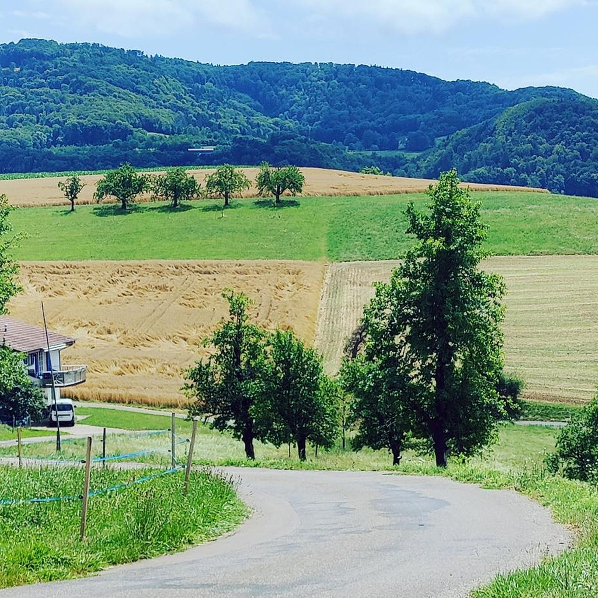
Viewpoint with bus stop and bench. Many hiking and biking trails start from here.
0
0

Beautiful mountain lodge as a good starting point for a hike across the Belchenflue.
3
0

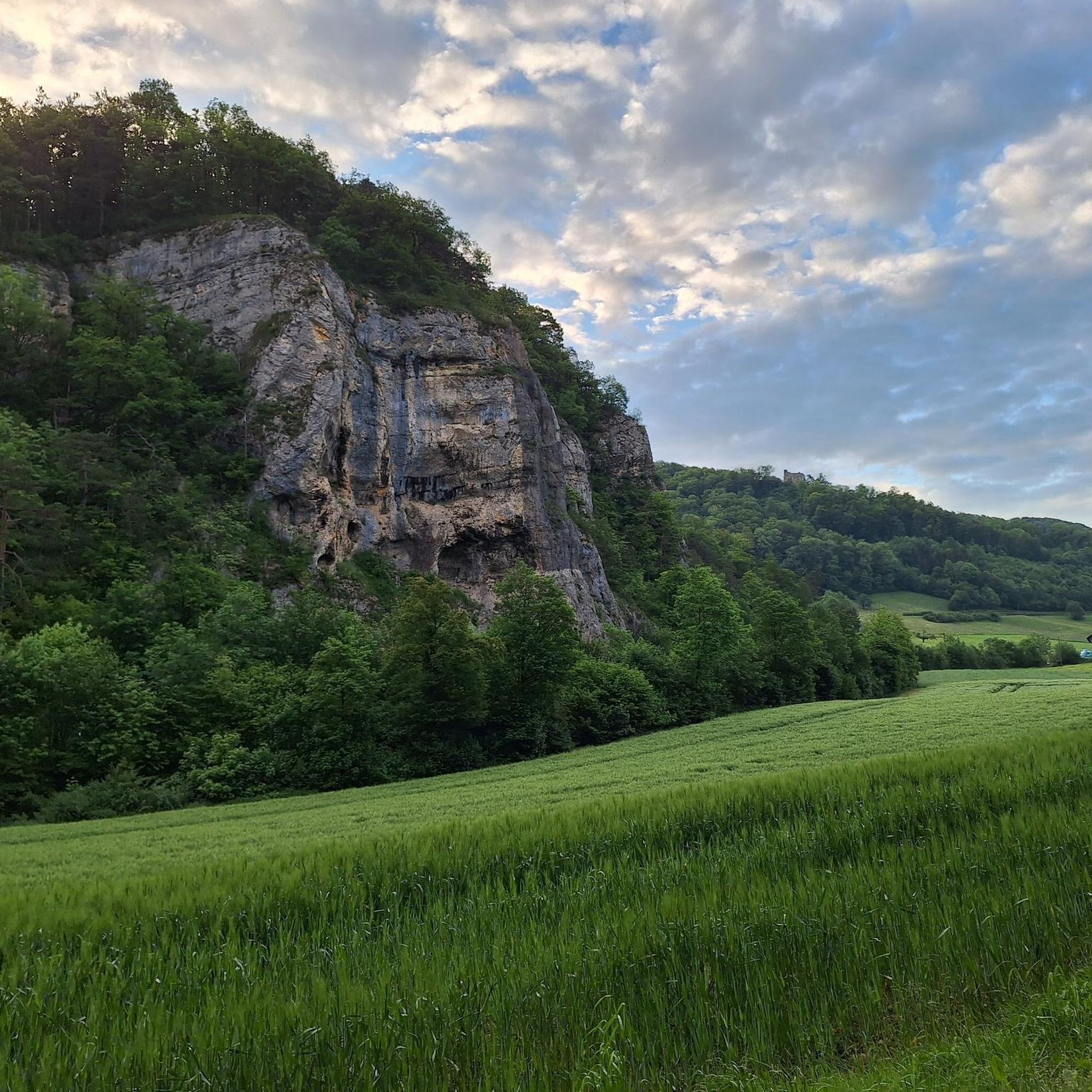
The view is dominated on the right by the Farnsberg hill, with the bright, light-colored ruins of Farnsburg Castle perched on its upper slope, visible from afar. A visit to the ruins is highly recommended. From up here, the view sweeps down to the village of Hemmiken and further into the Jura Mountains.
0
0

A challenging pass in the Tafeljura, the climb is made up of a small road with a maximum gradient of 15% and little traffic. The scenery is very scenic, with magnificent panoramas along the way.
1
1

A brief look back and relics of history. Some information boards along the way describe the events of that time and provide good background information.
2
0

Chamois can often be seen at this spot.
0
0
Nice hike down to the Rhine - a good 30 km.
1
1

Interesting information trail about the First World War
1
0
Frequently Asked Questions
How many mountaineering routes are available around Buckten?
There are 4 mountaineering routes around Buckten listed on komoot, offering a variety of experiences through the Jura region's forested hills and panoramic viewpoints.
What is the typical difficulty level of mountaineering routes in Buckten?
Most mountaineering routes in Buckten are classified as moderate. For example, the Chilchzimmersattel – Belchenflue Summit Viewpoint loop from Langenbruck is a moderate route. There is also one difficult route, the Belchenflue Summit Viewpoint – Chilchzimmersattel loop from Langenbruck, for those seeking a greater challenge.
Are there any circular mountaineering routes in Buckten?
Yes, all the mountaineering routes around Buckten are circular. Examples include the View of the Farnsberg – Farnsburg Castle Ruins loop from Bezirk Sissach and the Schneelochberg – Schellenberg loop from Belchenflue, allowing you to start and end at the same point.
Can I explore historical sites while mountaineering in Buckten?
Absolutely. Several routes incorporate historical elements. For instance, the View of the Farnsberg – Farnsburg Castle Ruins loop from Bezirk Sissach takes you past the Farnsburg Castle Ruins. Another route, the World War I Defensive Wall – Chilchzimmersattel loop from Langenbruck, allows you to discover remnants of a World War I defensive wall.
Which routes offer the best panoramic views in Buckten?
For expansive vistas, consider routes that lead to Belchenflue. The Chilchzimmersattel – Belchenflue Summit Viewpoint loop from Langenbruck is specifically highlighted for its panoramic views from the Belchenflue summit.
Are there any waterfalls or gorges to see near the mountaineering routes in Buckten?
Yes, the region around Buckten is known for its natural gorges and waterfalls. You can explore highlights such as Tüfels Gorge, Teufelsschlucht Waterfalls and Pools, and the Wasserflue Waterfall and Bärenloch (Bear’s Hole) Cave.
What kind of natural features can I expect to see on these routes?
Mountaineering routes in Buckten traverse varied landscapes, including dense forested hills, open areas with panoramic viewpoints, and geological formations like gorges and caves. You'll experience the diverse terrain characteristic of the Jura region.
Are there any caves to explore near the mountaineering trails?
Yes, the area features several interesting caves. Notable highlights include Bruderloch Cave, Chäsloch Cave, and the Sandloch Cave (Tüfelsschlucht — Devil's Gorge).
What do other mountaineers enjoy most about Buckten?
The area is highly rated by the komoot community, with an average score of 5.0 stars. Mountaineers often praise the varied terrain, which includes forested hills and rewarding panoramic viewpoints, as well as the opportunities to discover historical sites.
What is the longest mountaineering route available in Buckten?
The longest mountaineering route is the Belchenflue Summit Viewpoint – Chilchzimmersattel loop from Langenbruck, covering approximately 15.4 km (9.6 miles) and typically taking around 5 hours 1 minute to complete.
What is the shortest mountaineering route in Buckten?
The shortest mountaineering route is the Schneelochberg – Schellenberg loop from Belchenflue, which is about 4.7 km (2.9 miles) long and can be completed in approximately 1 hour 38 minutes.
Most popular routes around Buckten
Most popular attractions around Buckten

Get inspired with the komoot mobile app


Explore more
Browse the best Mountain Hikes & Routes in other regions.
