The best mountain hikes around Laupersdorf
5.0
(4)
32
hikers
8
hikes
Mountaineering routes around Laupersdorf traverse the varied terrain of the Thal Nature Park, characterized by forested slopes and prominent viewpoints. The landscape features a mix of challenging ascents and scenic paths, often leading to elevated positions with expansive views. This area provides opportunities to explore both natural rock formations and historical sites.
Best mountaineering routes around Laupersdorf
- The most popular mountaineering route is View from Balmfluehchöpfli – Herrenloch Cave loop from Balm b. Günsberg, a difficult 2.9 miles (4.7…
Last updated: July 8, 2026
5.0
(2)
9
hikers
4.62km
03:03
540m
540m
Hard mountaineering route. Good fitness required. Sure-footedness, sturdy shoes and alpine experience required.
2
hikers
Hard mountaineering route. Very good fitness required. Sure-footedness, sturdy shoes and alpine experience required.

Sign up for free
2
hikers
Moderate mountaineering route. Good fitness required. Mostly accessible paths. Sure-footedness required.
5.0
(1)
3
hikers
11.2km
03:29
410m
410m
Moderate mountaineering route. Good fitness required. Mostly accessible paths. Sure-footedness required.
6
hikers
7.27km
03:25
620m
610m
Hard mountaineering route. Good fitness required. Sure-footedness, sturdy shoes and alpine experience required.
Get access to more routes and recommendations from other explorers.
Sign up for free
Already have an account?
Our route recommendations are based on thousands of hikes, rides, and runs completed by other people on komoot.
Start today with a free account
Your next adventure awaits.
Login or Signup
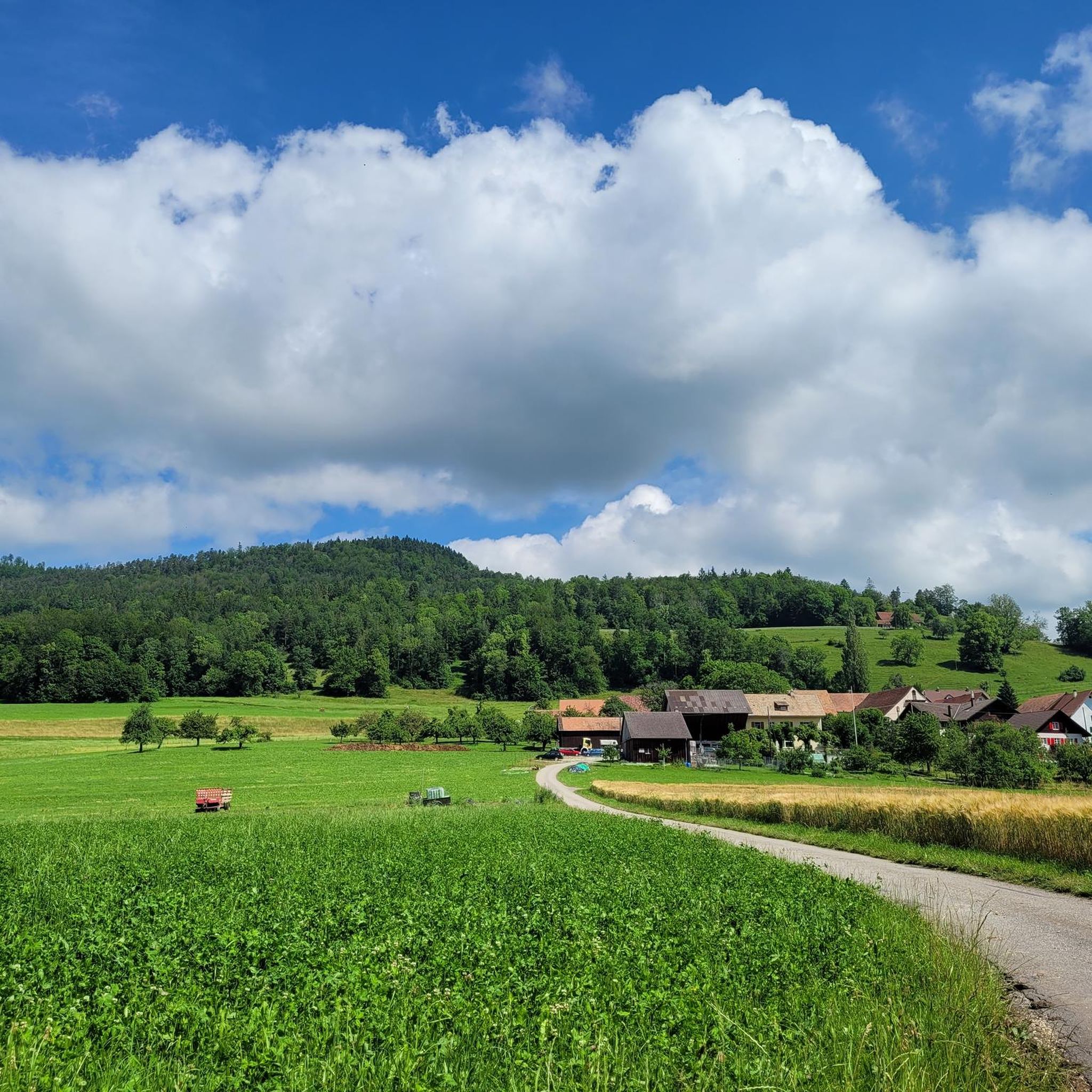
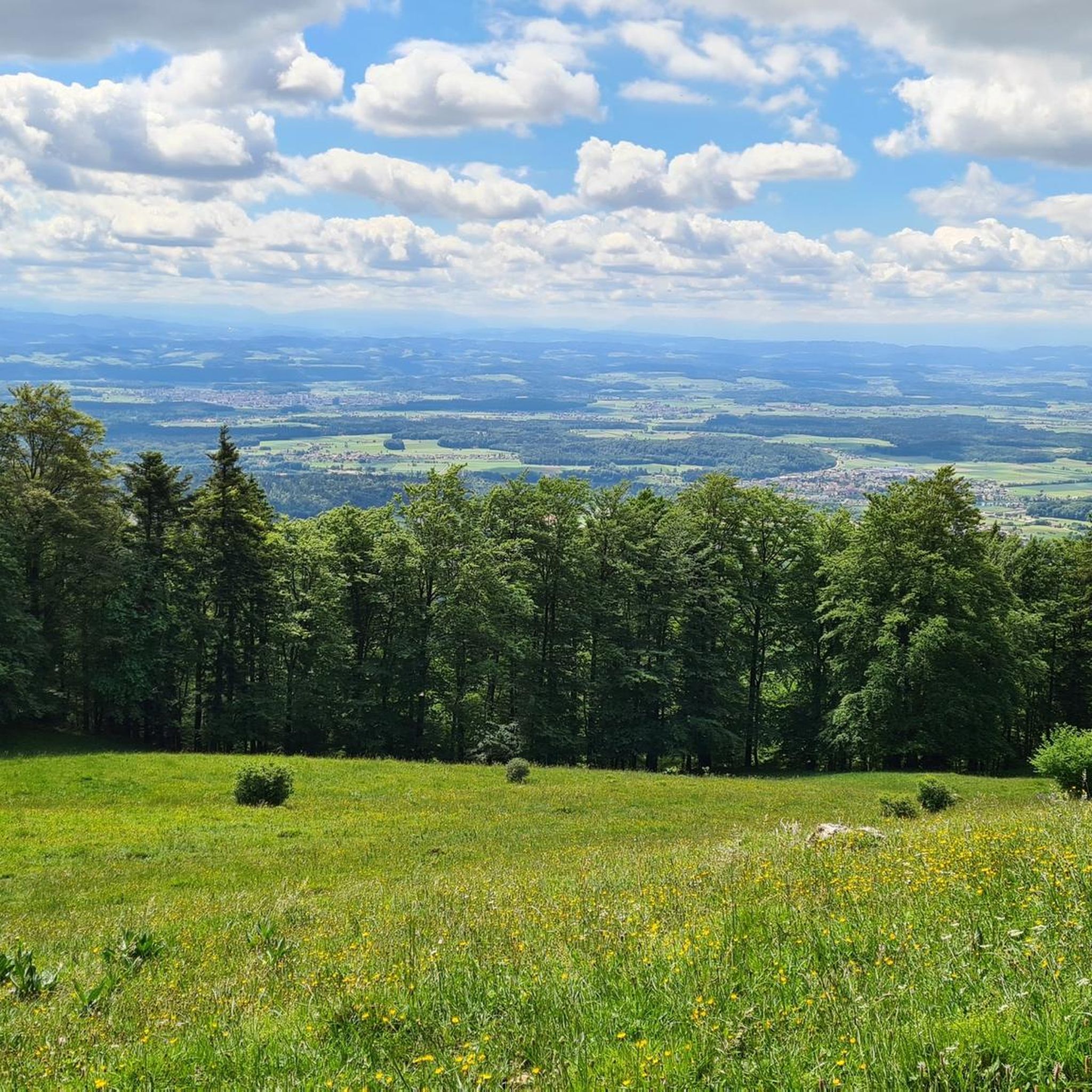
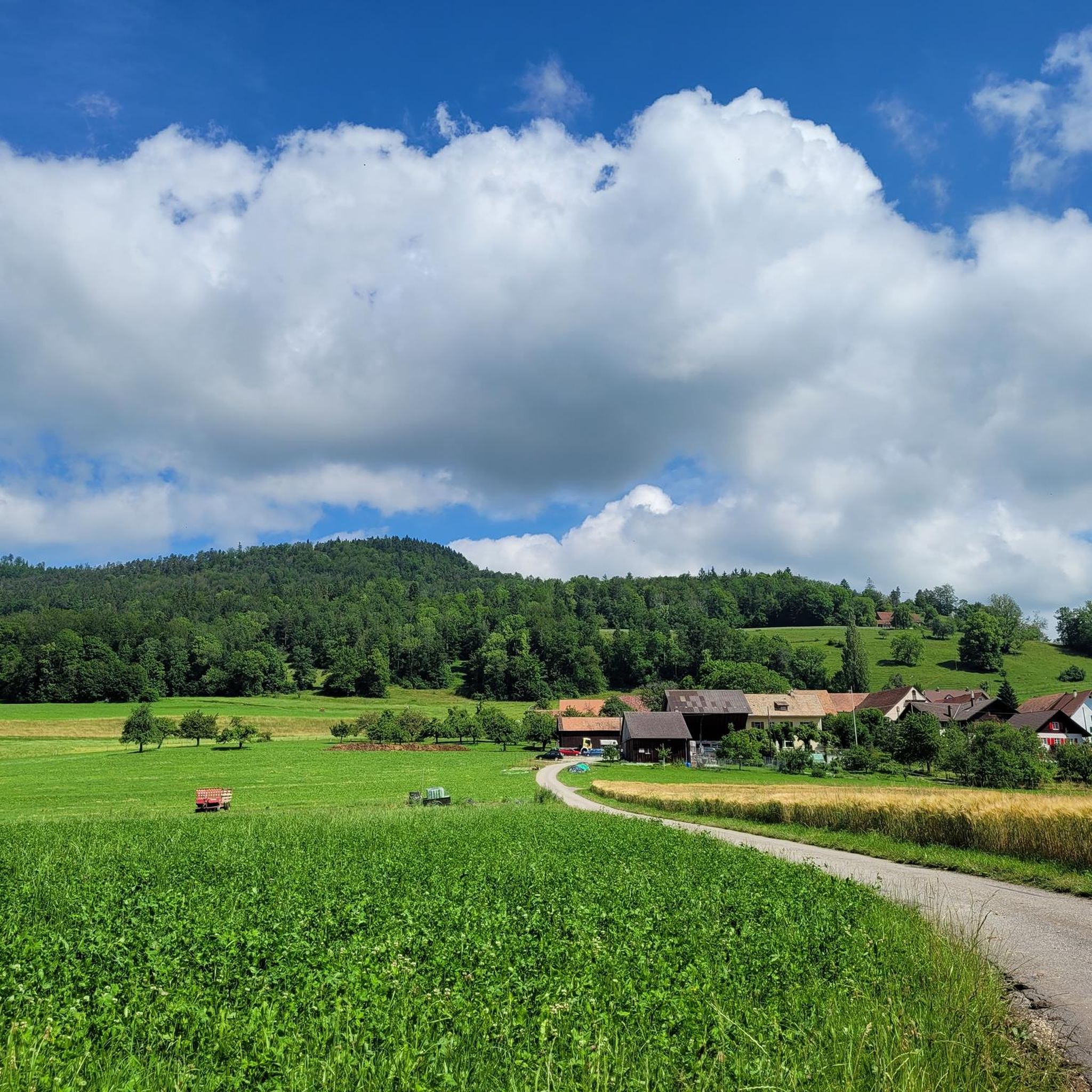
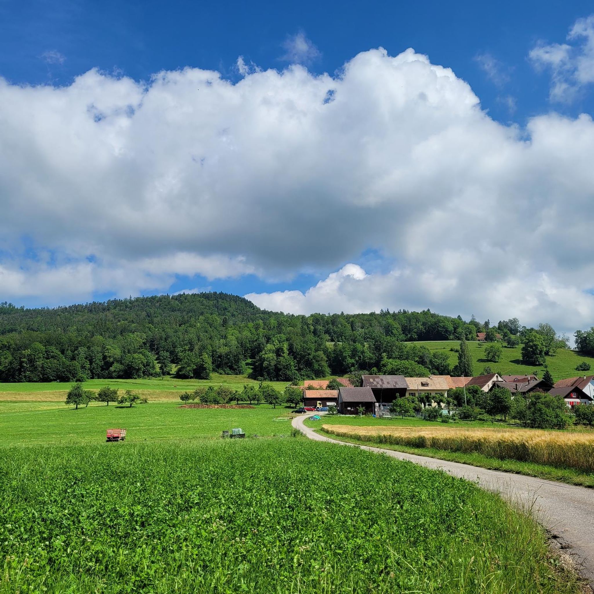
Tips from the Community

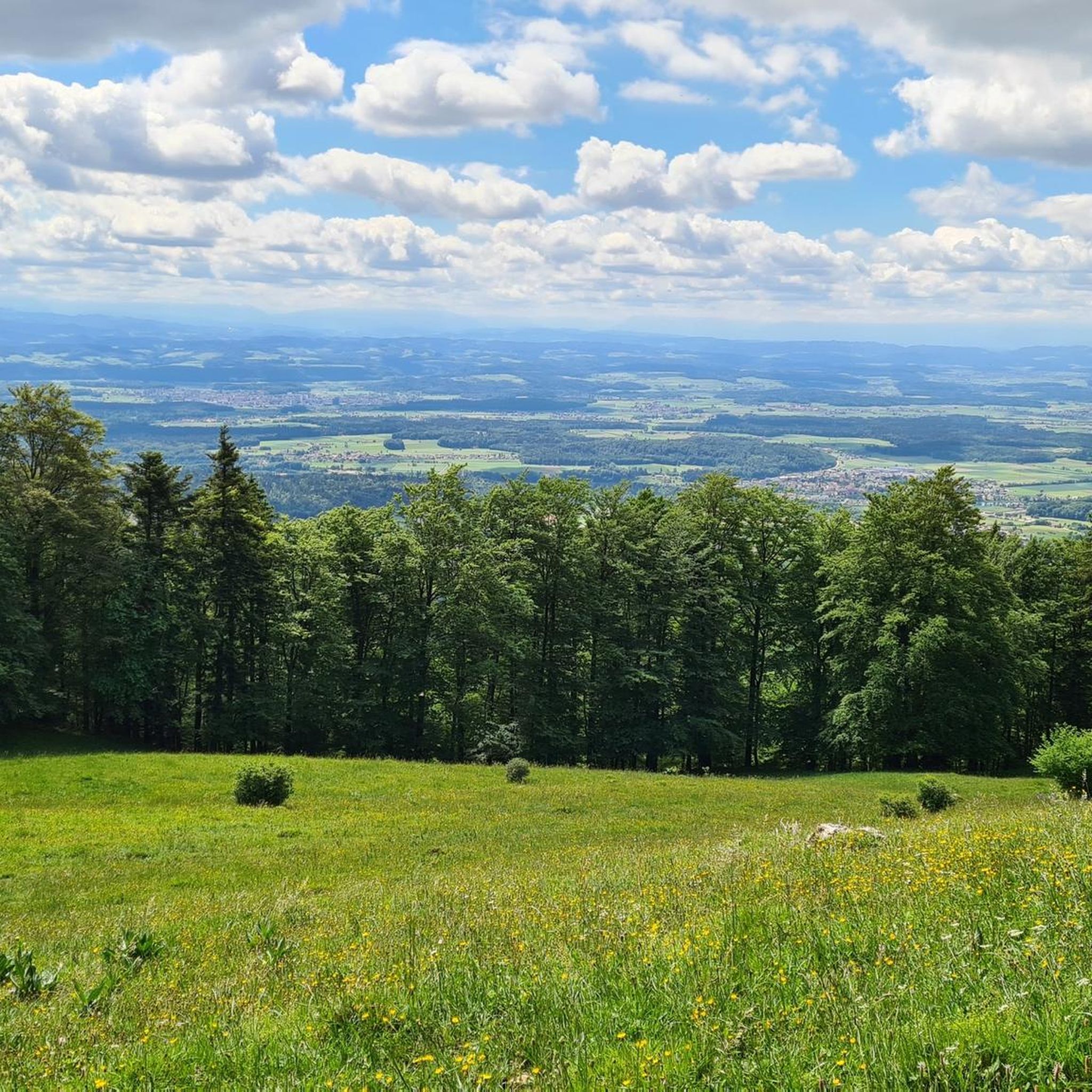
The Herrenloch is a cave with two entrances - a kind of tunnel - below the Balmfluechöpfli. It can be reached by trails both from the west ridge of the Balmfluechöpfli and as the end of the Hornpfad. The exit on the east side is reserved for the very experienced only; there has also been a fatal fall here. From the western entrance of the Herrenloch, you can also climb directly to the summit of the Balmfluechöpfli via trails.
0
0

wonderful and very beautiful area here
3
0
pretty here, very very pretty. Is worth a visit.
1
2
pretty here, very very pretty. It is worth a visit.
3
0
Frequently Asked Questions
What are the difficulty levels of mountaineering routes around Laupersdorf?
The mountaineering routes around Laupersdorf offer a range of difficulties. There are 3 moderate routes and 5 difficult routes available, providing options for various experience levels. The area is known for its challenging ascents and scenic paths.
How long do mountaineering routes around Laupersdorf typically take to complete?
The duration of mountaineering routes in the Laupersdorf area varies. For example, the difficult View from Balmfluehchöpfli – Herrenloch Cave loop from Balm b. Günsberg takes approximately 3 hours. Longer routes, like the difficult Roggenflue Viewpoint – Ruins of Neu-Falkenstein Castle loop from Thalbrücke, can take around 5 hours 20 minutes, while the moderate Ruins of Neu-Falkenstein Castle – Roggenschnarz loop from Holderbank SO is often completed in about 4 hours 35 minutes.
Are there any beginner-friendly mountaineering routes in the Laupersdorf area?
While the area is known for its challenging terrain, there are 3 moderate mountaineering routes available around Laupersdorf. These routes offer a good starting point for those with some experience looking to explore the region's elevated paths without tackling the most difficult ascents.
What are some challenging mountaineering trails near Laupersdorf?
For experienced mountaineers seeking a challenge, there are 5 difficult routes around Laupersdorf. A notable option is the Roggenflue Viewpoint – Ruins of Neu-Falkenstein Castle loop from Thalbrücke, which combines demanding ascents with historical ruins and expansive viewpoints. Another challenging route is the Herrenloch Cave – View from Balmfluehchöpfli loop from Balm b. Günsberg.
What is the best time of year for mountaineering around Laupersdorf?
The Thal Nature Park, where Laupersdorf is located, is generally best for mountaineering during the warmer months, typically from spring to autumn. During these seasons, trails are usually clear of snow, and weather conditions are more stable, allowing for better enjoyment of the forested slopes and prominent viewpoints.
Are there any circular mountaineering routes in the Laupersdorf area?
Yes, many mountaineering routes around Laupersdorf are designed as loops, offering varied scenery without retracing your steps. Examples include the difficult View from Balmfluehchöpfli – Herrenloch Cave loop from Balm b. Günsberg and the moderate Chilchzimmersattel – Belchenflue Summit Viewpoint loop from Langenbruck.
What kind of attractions can I expect to see along the mountaineering routes?
Mountaineering routes around Laupersdorf often lead to prominent viewpoints and historical sites. You can explore natural rock formations, such as those near Wolf Gorge, or discover historical ruins like the Ruins of Neu-Falkenstein Castle. The area also features impressive natural highlights like the Schelmenloch Waterfall.
What do other mountaineers enjoy most about mountaineering in Laupersdorf?
The mountaineering experiences in Laupersdorf are highly rated by the komoot community, with an average score of 5.0 stars from 5 reviews. Users often praise the varied terrain, which includes forested slopes and prominent viewpoints, as well as the combination of natural beauty and historical sites like the Ruins of Neu-Falkenstein Castle.
Are there any gorges or waterfalls to explore near the mountaineering trails?
Yes, the region around Laupersdorf is rich in natural wonders. You can find impressive gorges such as Wolf Gorge and Teufelsküche (Solothurn Jura). There are also beautiful waterfalls, including the Schelmenloch Waterfall and the Weibelloch Waterfall and Cave (Jägerwägli Trail), which can be incorporated into your mountaineering adventures.
How many mountaineering routes are available around Laupersdorf?
There are 8 distinct mountaineering routes available around Laupersdorf, offering a diverse range of experiences within the Thal Nature Park.
Can I find cafes or refreshment stops near the mountaineering routes?
While specific cafes directly on every trail are not listed, the routes often start or pass near villages like Balm b. Günsberg, Thalbrücke, Holderbank SO, or Langenbruck. These locations typically offer opportunities for refreshments before or after your mountaineering tour.
Are there any hidden gem mountaineering routes in the Laupersdorf area?
While the most popular routes are well-known, exploring some of the less-trafficked moderate trails can offer a sense of discovery. For instance, the Chilchzimmersattel – Belchenflue Summit Viewpoint loop from Langenbruck provides a rewarding experience with beautiful views and a moderate challenge, away from the most frequented paths.
Most popular routes around Laupersdorf
Most popular attractions around Laupersdorf

Get inspired with the komoot mobile app


Explore more
Browse the best Mountain Hikes & Routes in other regions.
