The best mountain hikes around Feldbrunnen-St. Niklaus
5.0
(16)
79
hikers
13
hikes
Mountaineering routes Feldbrunnen-St. Niklaus traverse the southern foothills of the Jura Mountains, characterized by rolling hills and extensive forests. The region features significant elevation changes, particularly around the Verenaschlucht (Verena Gorge), offering challenging ascents and descents. These routes often lead through dense woodlands and past natural features like erratic blocks, providing varied terrain for experienced mountaineers.
Best mountaineering routes around Feldbrunnen-St. Niklaus
- The most popular mountaineering route is Herrenloch Cave – View from Balmfluehchöpfli loop from Rüttenen, a 4.7…
Last updated: July 8, 2026
5.0
(3)
23
hikers
7.79km
03:44
650m
650m
Hard mountaineering route. Good fitness required. Sure-footedness, sturdy shoes and alpine experience required.
5.0
(2)
9
hikers
4.62km
03:03
540m
540m
Hard mountaineering route. Good fitness required. Sure-footedness, sturdy shoes and alpine experience required.

Sign up for free
7
hikers
7.52km
03:49
630m
620m
Hard mountaineering route. Good fitness required. Sure-footedness, sturdy shoes and alpine experience required.
5.0
(1)
8
hikers
7.60km
02:40
350m
350m
Moderate mountaineering route. Good fitness required. Mostly accessible paths. Sure-footedness required.
5.0
(2)
4
hikers
14.1km
06:04
900m
900m
Hard mountaineering route. Very good fitness required. Sure-footedness, sturdy shoes and alpine experience required.
Get access to more routes and recommendations from other explorers.
Sign up for free
Already have an account?
Our route recommendations are based on thousands of hikes, rides, and runs completed by other people on komoot.
Start today with a free account
Your next adventure awaits.
Login or Signup
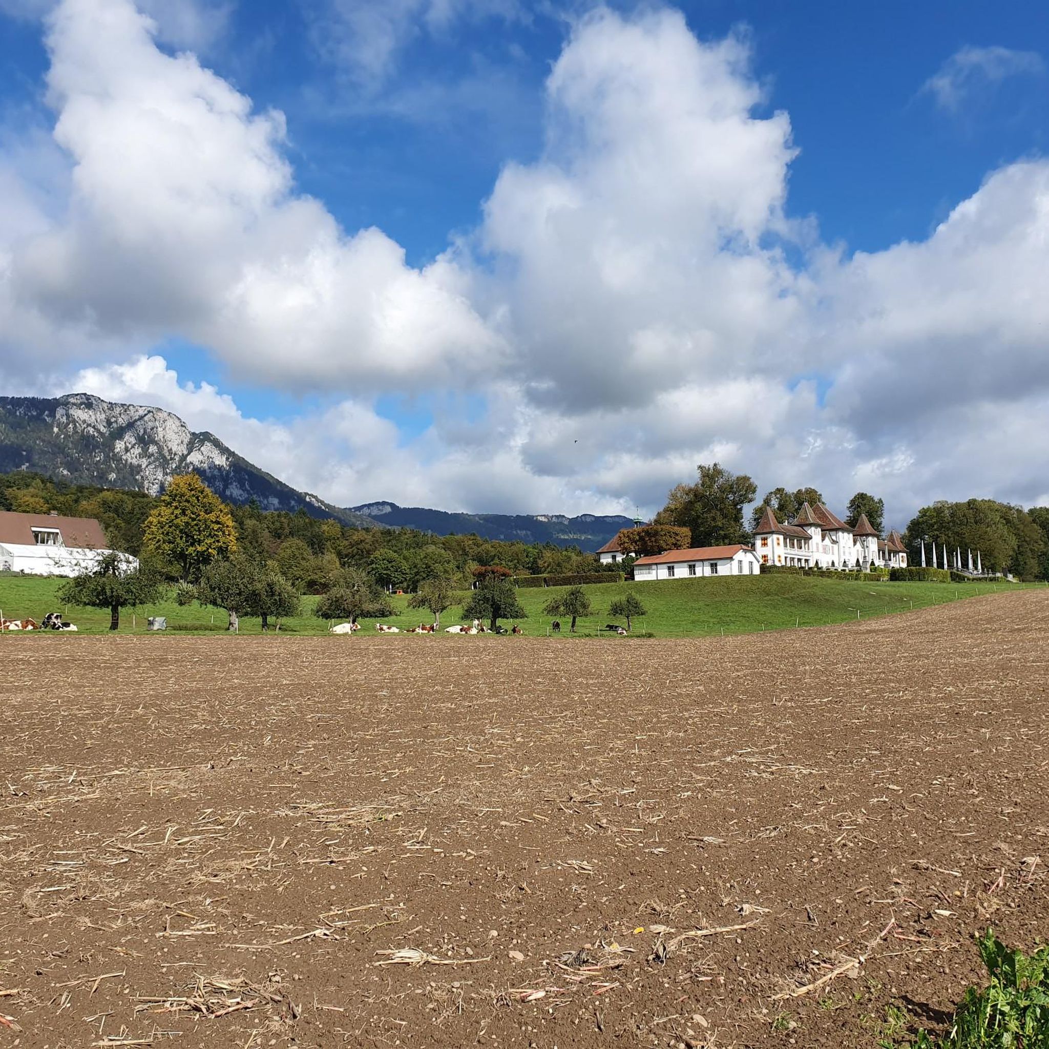
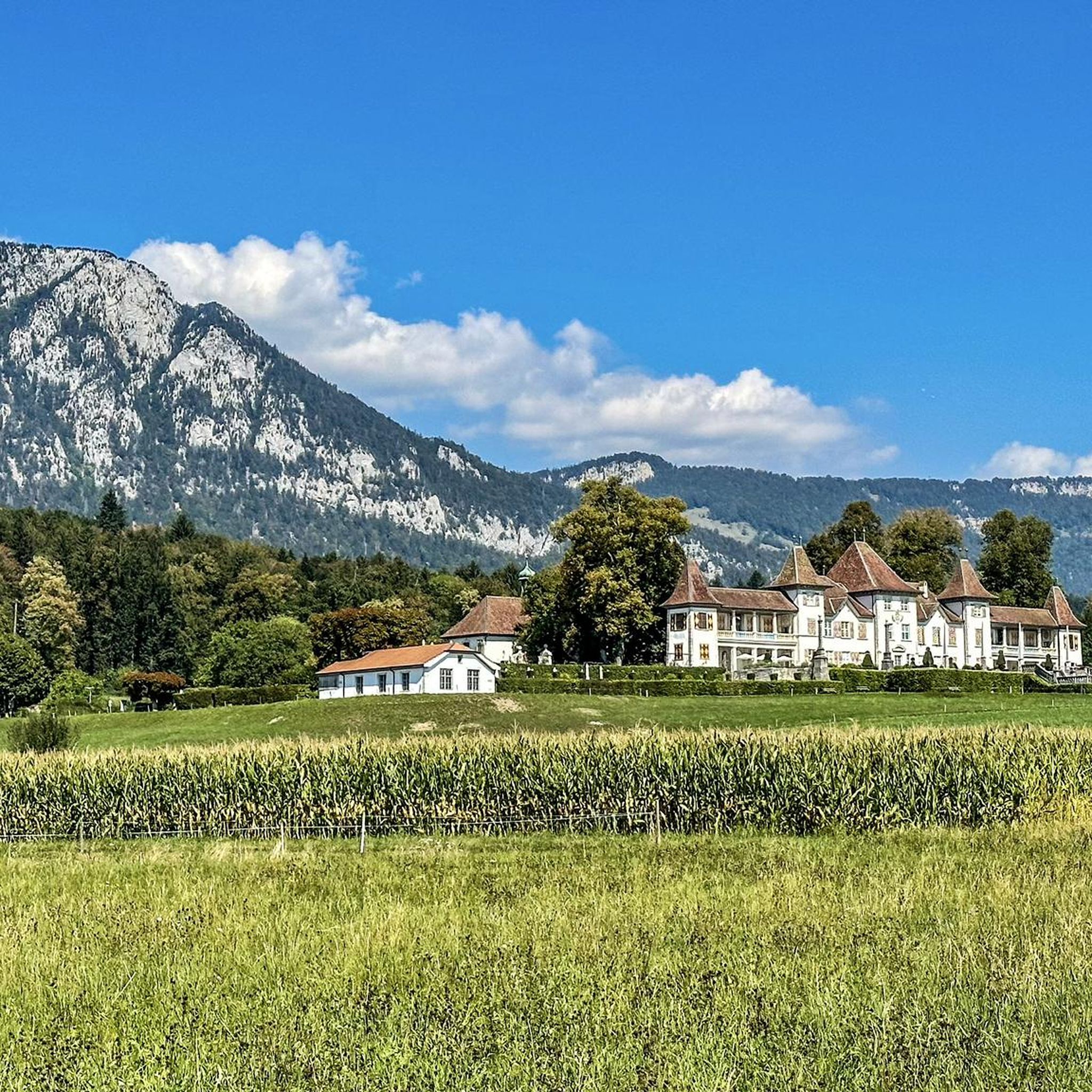
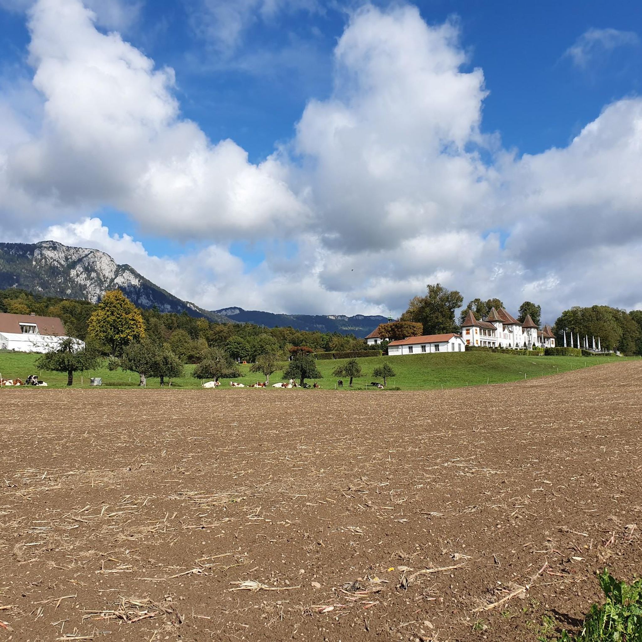
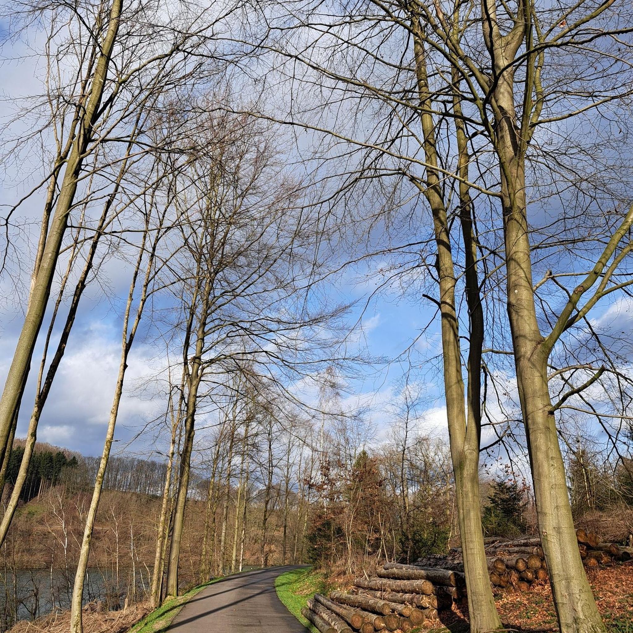
Tips from the Community

pretty here, very pretty
1
0

The Herrenloch is a cave with two entrances - a kind of tunnel - below the Balmfluechöpfli. It can be reached by trails both from the west ridge of the Balmfluechöpfli and as the end of the Hornpfad. The exit on the east side is reserved for the very experienced only; there has also been a fatal fall here. From the western entrance of the Herrenloch, you can also climb directly to the summit of the Balmfluechöpfli via trails.
0
0

wonderful and very beautiful area here
2
0
wonderful and very beautiful area here
3
0
pretty here, very pretty
0
2
Frequently Asked Questions
How many mountaineering routes are available in Feldbrunnen-St. Niklaus?
There are 14 mountaineering routes available in Feldbrunnen-St. Niklaus. The majority of these, 12 routes, are classified as difficult, with 2 routes of moderate difficulty.
What kind of terrain can I expect on mountaineering routes in Feldbrunnen-St. Niklaus?
The terrain in Feldbrunnen-St. Niklaus is characterized by the southern foothills of the Jura Mountains, featuring rolling hills and extensive forests. You'll encounter significant elevation changes, particularly around the Verenaschlucht (Verena Gorge), and routes often lead through dense woodlands and past unique natural features like erratic blocks.
Are there any circular mountaineering routes in the area?
Yes, many of the mountaineering routes in Feldbrunnen-St. Niklaus are designed as loops. For example, the difficult route Herrenloch Cave – View from Balmfluehchöpfli loop from Rüttenen is a popular circular option, as is the View from Balmfluehchöpfli – Herrenloch Cave loop from Balm b. Günsberg.
Can I find family-friendly mountaineering routes in Feldbrunnen-St. Niklaus?
While the majority of routes are classified as difficult, the region offers a diverse landscape. For family-friendly options, consider exploring the broader network of trails in the Jura Mountains foothills, which include easier walks through forests and agricultural land, though specific 'mountaineering' routes might be too challenging for young children.
Are dogs allowed on the mountaineering trails?
Generally, dogs are welcome on trails in the Feldbrunnen-St. Niklaus region. However, it's always advisable to keep them on a leash, especially in forested areas, near agricultural land, or when encountering wildlife. Some routes might have sections that are challenging for dogs due to steep ascents or rocky terrain.
What are some notable natural features or landmarks to look out for on these routes?
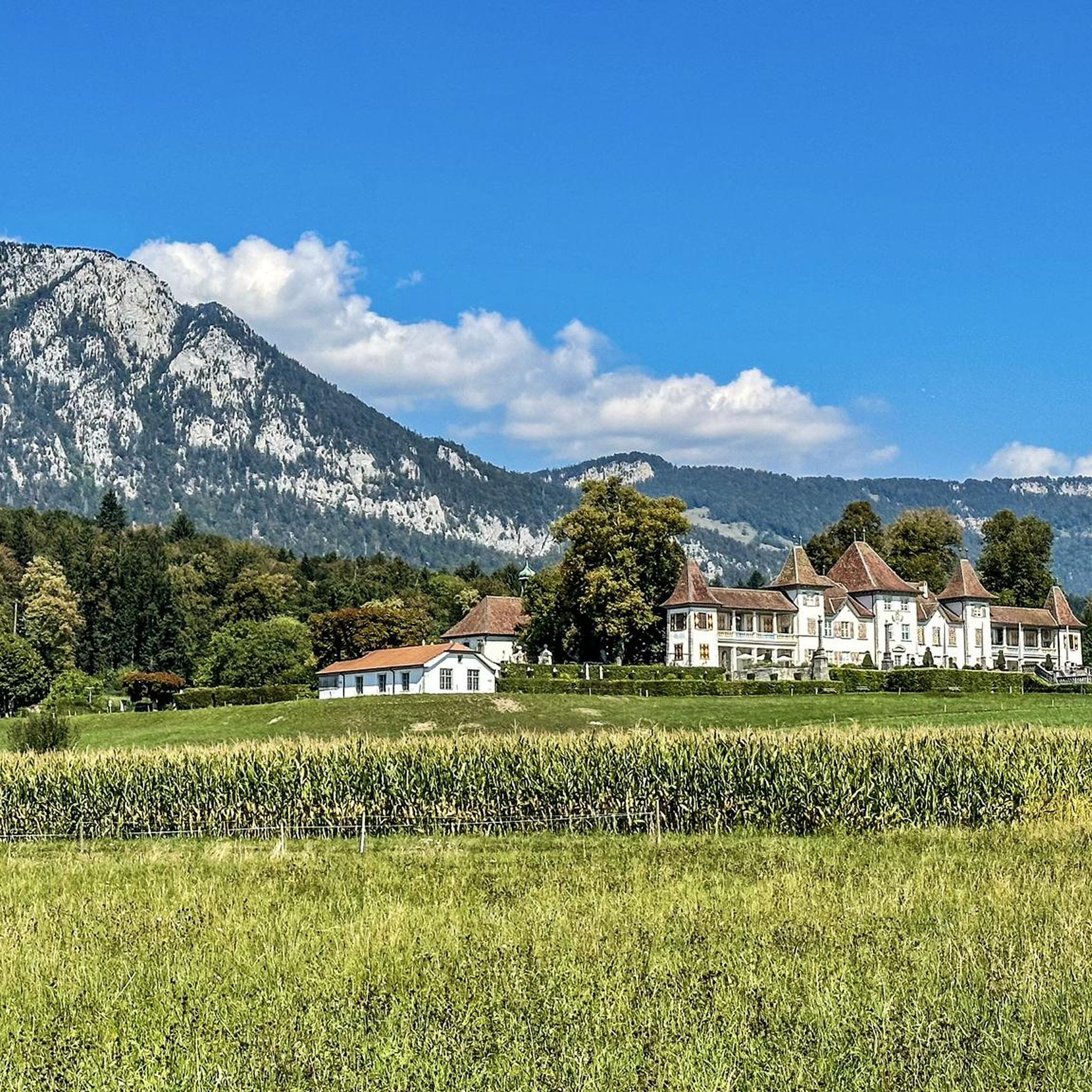
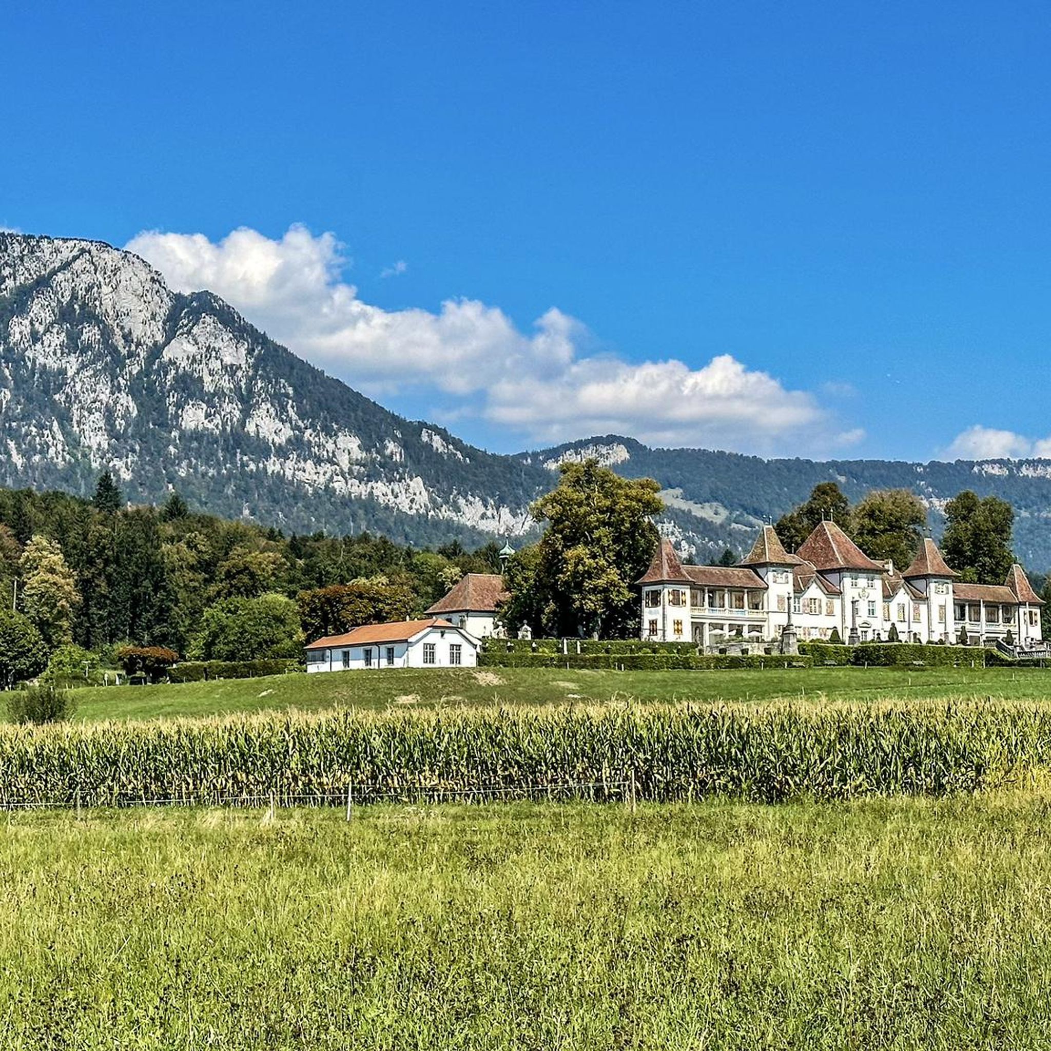
You can explore several interesting features. The Verenaschlucht and Hermitage is a significant attraction with various loop trails. You might also encounter the Wolf Gorge or the unique Megalithweg, which showcases erratic blocks deposited by glaciers. Waldegg Castle, while not directly on a mountaineering route, is a prominent historical site nearby with surrounding forests and meadows.
What is the best time of year for mountaineering in Feldbrunnen-St. Niklaus?
The region is generally accessible for outdoor activities throughout much of the year. Spring and autumn offer pleasant temperatures and vibrant scenery, while summer provides longer daylight hours. Winter mountaineering is possible, but routes may be affected by snow and ice, requiring appropriate gear and caution.
How can I reach the trailheads using public transport?
Feldbrunnen-St. Niklaus is a municipality in the canton of Solothurn, Switzerland, and is generally well-connected by public transport. You can typically reach the area by train and then local bus services. Specific trailhead access points will vary, so it's best to check local transport schedules for the most convenient connections to your chosen starting point.
Are there places to eat or rest along the mountaineering routes?
Yes, there are several options for refreshments and rest. You might find mountain restaurants like Hofbergli Mountain Restaurant or Althüsli Mountain Restaurant, and even a Little pub at Niderwiler Stierenberg. These spots offer opportunities to refuel and enjoy the local hospitality.
What is the typical duration and distance of mountaineering routes here?
Mountaineering routes in Feldbrunnen-St. Niklaus vary in length and duration. For instance, the Herrenloch Cave – View from Balmfluehchöpfli loop from Rüttenen is about 4.7 miles (7.6 km) and takes around 3 hours 41 minutes. Another route, View from Balmfluehchöpfli – Mättu Wändli Climbing Path loop from Rüttenen, is 3.8 miles (6.1 km) and typically takes about 3 hours 53 minutes.
Are there any routes that offer particularly good viewpoints?
Absolutely. Many routes feature stunning vistas, especially those leading to or near Balmfluehchöpfli. The View from Balmfluehchöpfli – Röti Summit (1,395 m) loop from Balm b. Günsberg is a difficult route known for its views. You can also find excellent vantage points along trails that traverse the Jura Mountains foothills.
What do other mountaineers say about the routes in Feldbrunnen-St. Niklaus?
The mountaineering routes in Feldbrunnen-St. Niklaus are highly rated by the komoot community, with an average score of 5.0 stars from over 12 reviews. Reviewers often praise the varied terrain, the challenging ascents, and the beautiful forested landscapes. Over 79 mountaineers have used komoot to explore this area.
Are there any moderate difficulty mountaineering routes available?
Yes, while most routes are difficult, there are 2 routes classified as moderate difficulty. These routes offer a less strenuous experience while still allowing you to enjoy the natural beauty of the Jura Mountains foothills.
Where can I find parking for mountaineering trails?
Parking availability varies by trailhead. Many popular starting points, especially those near attractions like the Verenaschlucht or Waldegg Castle, typically have designated parking areas. It's recommended to check specific route descriptions or local signage for the most convenient parking options.
Most popular routes around Feldbrunnen-St. Niklaus
Most popular attractions around Feldbrunnen-St. Niklaus

Get inspired with the komoot mobile app


Explore more
Browse the best Mountain Hikes & Routes in other regions.
