The best mountain hikes around Affoltern am Albis
5.0
(2)
21
hikers
4
hikes
Mountaineering routes around Affoltern am Albis are situated within the canton of Zurich, Switzerland, offering access to varied terrain. The region is characterized by the Albis mountain range, which features prominent hills like the Bürglenstutz, providing panoramic views. Landscapes include dense forests such as Sihlwald, the scenic Jonental valley, and the Türlersee lake area. This environment serves as a base for outdoor activities, with routes that traverse woodlands and offer elevation gains suitable for mountaineering.
Best mountaineering routes around Affoltern…
Last updated: July 6, 2026
5.0
(1)
13
hikers
5.94km
02:02
330m
330m
Moderate mountaineering route. Good fitness required. Easily-accessible paths. Suitable for all skill levels.
5.0
(1)
4
hikers
Moderate mountaineering route. Good fitness required. Mostly accessible paths. Sure-footedness required.

Sign up for free
3
hikers
Moderate mountaineering route. Good fitness required. Easily-accessible paths. Suitable for all skill levels.
1
hikers
6.29km
02:12
340m
340m
Moderate mountaineering route. Good fitness required. Mostly accessible paths. Sure-footedness required.
Our route recommendations are based on thousands of hikes, rides, and runs completed by other people on komoot.
Start today with a free account
Your next adventure awaits.
Login or Signup
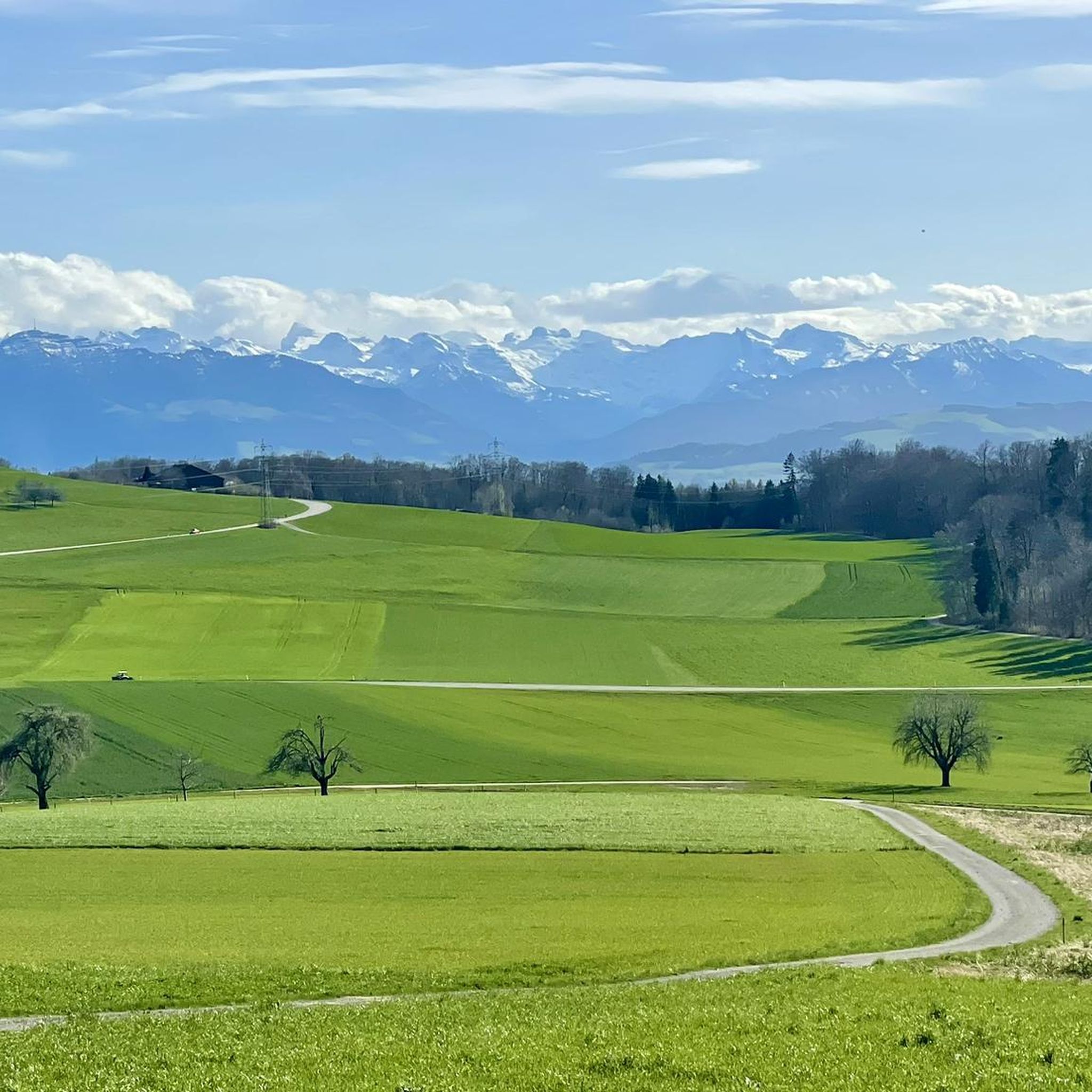
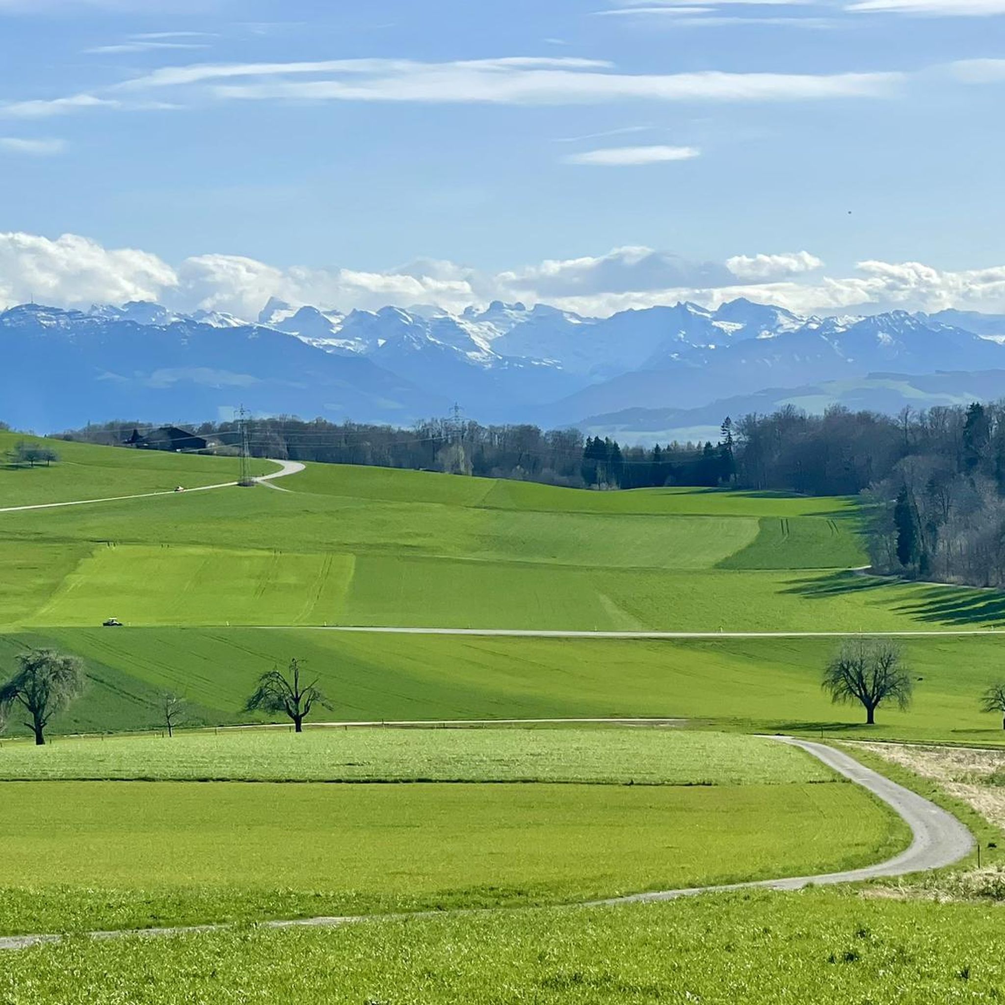
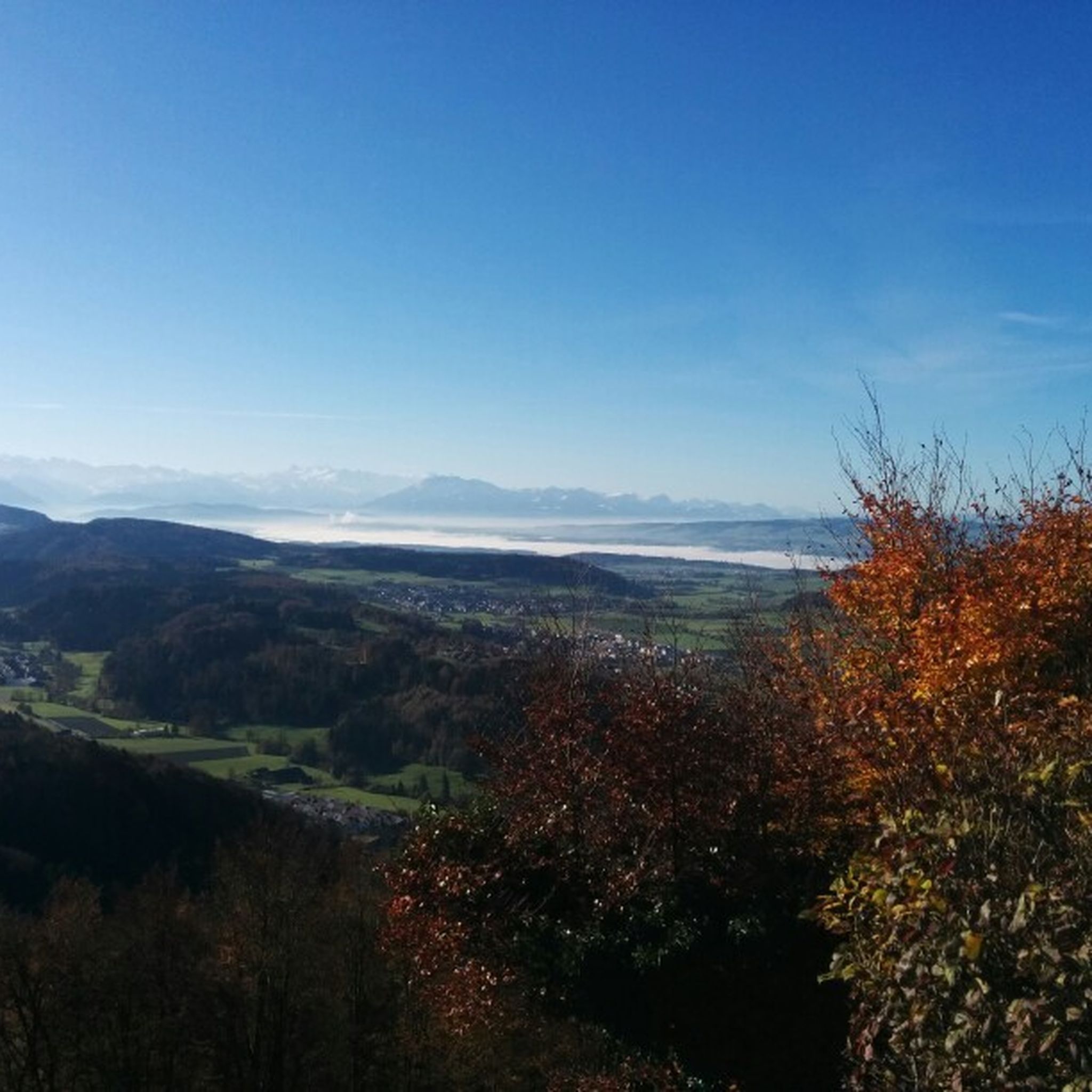
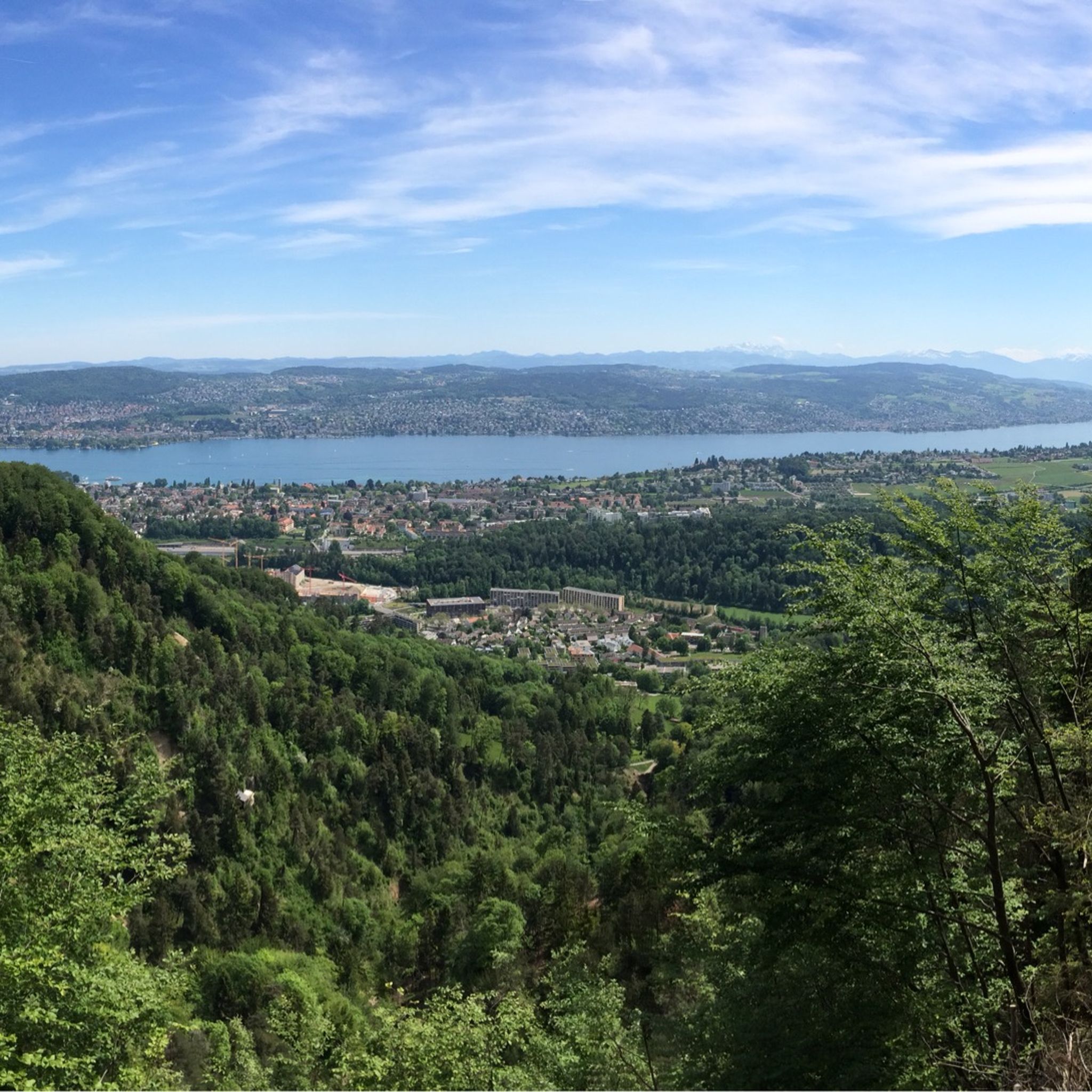
Tips from the Community

There are two pre-installed BBQ spots with grill fire pits, some tables and a fresh water fountain next to the playground.
0
0

Wonderful place for a break
0
0
Attention: Cycle route 94 is closed here due to construction work from 27.04.2026 - 02.11.2026 (at least partial sections) and is diverted from Sihlwald station to Alter Bahnhof Sihlbrugg via Sihltalstrasse (signposted on site). See Schweiz Mobil info.
0
0

Looks more like a cemetery. But there used to be tables and benches.
0
0

The Albishorn is one of the most beautiful viewpoints on the Albis ridge. At 909 meters, it offers sweeping views of Lake Zurich, the mountains of Central Switzerland, and the Reppisch Valley. The ascent is easy to moderate and leads mostly through forest before opening up to a summit with panoramic views. It's ideal for a short, enjoyable hike – often combined with a visit to Hochwacht or Felsenegg.
8
0


Beautiful ride along the Sihl, quiet
0
1
Alas, snack bar seems to be no longer open. Also, I think this is not a cemetery; what appear to be headstones are the supports for tables no longer in use.
1
0
Frequently Asked Questions
What kind of terrain can I expect on mountaineering routes around Affoltern am Albis?
The routes in this region primarily feature forested hills, river valleys, and offer scenic lake views. You'll traverse woodlands and encounter elevation gains suitable for mountaineering, particularly within the Albis mountain range, which includes prominent hills like the Bürglenstutz.
How many mountaineering routes are available in the Affoltern am Albis area?
There are 4 mountaineering routes detailed in this guide for the Affoltern am Albis area. These routes are highly rated by the komoot community, with an average score of 5.0 stars from over 3 reviews.
Are there any challenging mountaineering routes near Affoltern am Albis?
The mountaineering routes around Affoltern am Albis are generally classified as moderate in difficulty. While they offer elevation gains and varied terrain, there are no routes in this guide specifically categorized as difficult.
What are some notable viewpoints or landmarks I can see along these routes?
Many routes offer stunning views, especially from the Uetliberg. For instance, the Uetliberg Viewing Terrace – Uetliberg loop from Zürich Triemli provides excellent vistas. You can also explore natural features like the Lake Türler and the Bürglenstutz, the highest point of the Albis chain, which offers panoramic views of the Alps and Lake Zurich.
Are there any circular mountaineering routes available?
Yes, all the mountaineering routes listed in this guide are circular. For example, you can enjoy the Uetliberg Transmission Tower – Uetliberg Summit Viewpoint loop from Wiedikon, which ascends to the Uetliberg summit, or the Sihlwald Bürglen Descent – Sihl River Path in the Sihlwald loop from Sihlwald through the scenic Sihlwald Forest.
What is the typical length and duration of mountaineering routes in this area?
The routes vary in length and duration. For instance, the Uetliberg Viewing Terrace – Uetliberg loop from Zürich Triemli is about 4.3 miles (6.9 km) and takes approximately 2 hours 20 minutes. A longer option is the Sihlwald Bürglen Descent – Sihl River Path in the Sihlwald loop from Sihlwald, which is 8.2 miles (13.2 km) and typically completed in about 4 hours 7 minutes.
Can I reach the trailheads using public transport?
Yes, many trailheads for these routes are accessible via public transport. Routes often start from locations like Zürich Triemli, Wiedikon, Sihlwald, and Adliswil, which are well-connected by the local public transport network.
Are there any waterfalls to see along the mountaineering routes?
While the immediate mountaineering routes may not directly feature major waterfalls, the broader region around Affoltern am Albis does have several. You can find highlights like the Bridge and waterfall or the Lindenbach Gorge, which are part of other local trails and natural attractions.
What is the best time of year for mountaineering in Affoltern am Albis?
The region is enjoyable for outdoor activities throughout much of the year. Spring and autumn are particularly recommended for their beautiful vistas, especially from elevated points like the Bürglenstutz, offering clear views of the Alps and Lake Zurich. Summer provides lush greenery, while winter can offer different challenges and snowy landscapes.
Are the mountaineering routes around Affoltern am Albis suitable for families?
The routes are generally moderate, making them suitable for families with some hiking experience. The diverse landscapes, including forests and lake areas like Lake Türler, offer engaging environments for children. Always consider the specific distance and elevation gain of a route when planning with family.
What do other mountaineers enjoy most about the routes in Affoltern am Albis?
The area is highly rated by the komoot community, with an average score of 5.0 stars. Reviewers often praise the varied terrain, the scenic views from points like Uetliberg, and the opportunity to explore diverse landscapes including dense forests and tranquil lake areas.
Are there any specific natural monuments to explore near the trails?
Yes, the region is rich in natural beauty. Beyond the routes themselves, you can visit natural monuments such as the Flachsee, the unique rock formation Erdmannlistein, and the Flachsee Nature Reserve, which are all within the broader Affoltern am Albis area.
Is there parking available near the trailheads?
While specific parking details for each trailhead are not provided here, areas like Sihlwald and other starting points for popular trails typically offer designated parking facilities for visitors. It's advisable to check local signage or specific route descriptions for detailed parking information before your trip.
Most popular routes around Affoltern am Albis
Most popular attractions around Affoltern am Albis

Get inspired with the komoot mobile app


Explore more
Browse the best Mountain Hikes & Routes in other regions.
