The best walks and hikes in Sudenpesänkangas
4.7
(18)
143
hikers
14
hikes
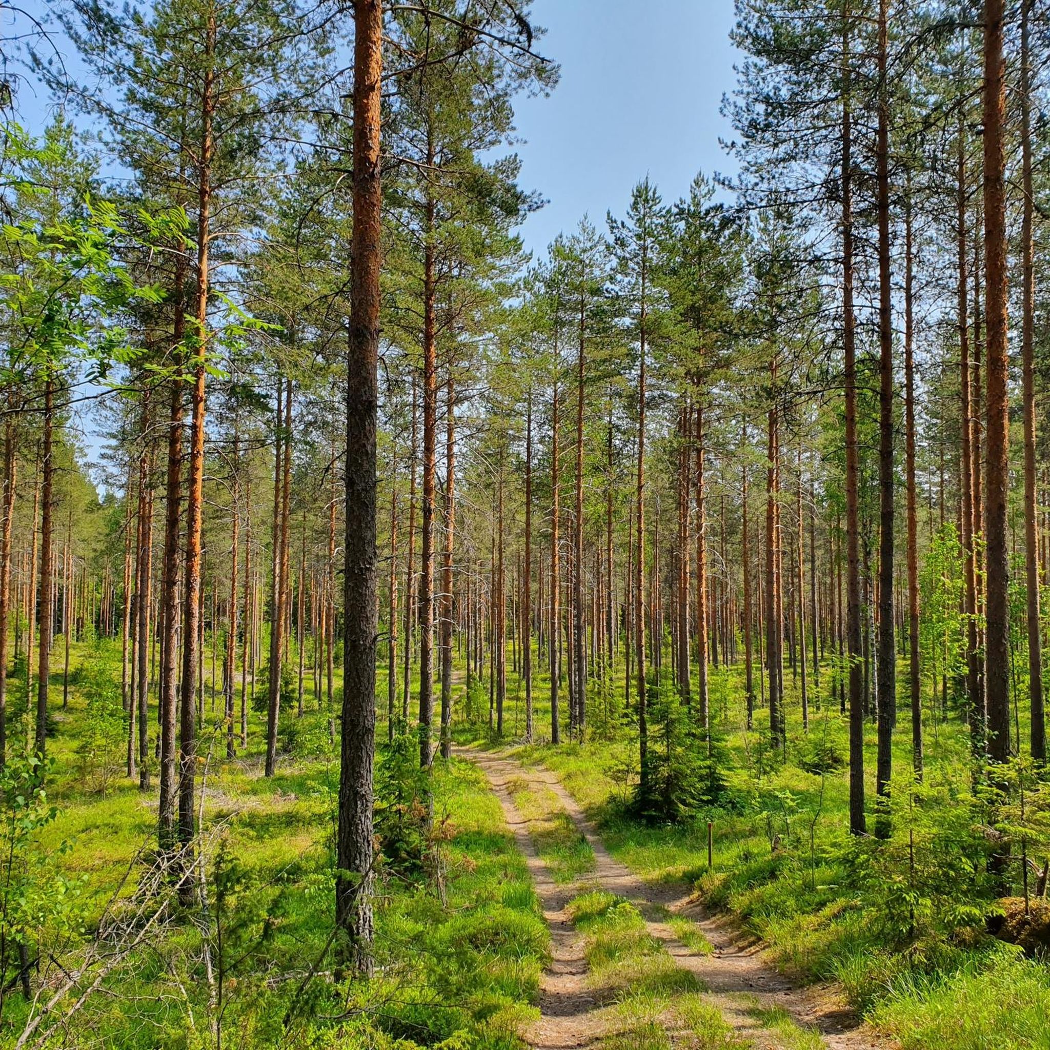
Hiking in Sudenpesänkangas offers varied landscapes within the Evo Hiking Area in Southern Finland. The region is characterized by numerous forest ponds, wooded landscapes, and significant geological formations such as esker ridges. Trails often follow these ancient ridges, providing views of lakes like Syrjänalunen, Pitkänniemenjärvi, and Hautjärvi. Diverse forests, including ancient woodlands, define the hiking experience in this area.
Best hiking trails in Sudenpesänkangas
- The most popular hiking route is Sorsakolu Shelter loop from Mustalammi, a 3.6 miles (5.9…
Last updated: July 4, 2026
2
hikers
5.85km
01:34
60m
60m
Easy hike. Great for any fitness level. Easily-accessible paths. Suitable for all skill levels.
5.0
(2)
8
hikers
6.04km
01:34
40m
40m
Easy hike. Great for any fitness level. Easily-accessible paths. Suitable for all skill levels.

Sign up for free
4.0
(1)
12
hikers
8.45km
02:36
40m
40m
Moderate hike. Good fitness required. Easily-accessible paths. Suitable for all skill levels.
4.0
(4)
16
hikers
3.71km
00:57
20m
20m
Easy hike. Great for any fitness level. Easily-accessible paths. Suitable for all skill levels.
5.0
(1)
10
hikers
6.04km
01:33
30m
30m
Moderate hike. Great for any fitness level. Mostly accessible paths. Sure-footedness required.
Get access to more routes and recommendations from other explorers.
Sign up for free
Already have an account?
Our route recommendations are based on thousands of hikes, rides, and runs completed by other people on komoot.
Start today with a free account
Your next adventure awaits.
Login or Signup
Popular around Sudenpesänkangas
Tips from the Community


This is a so-called esker ridge, formed by a glacier in the ice age. A picturesque trail follows the top of the ridge about one kilometer, flanked by steep slopes.
0
0
Platform with outlook and stairs to the lake shore.
0
0
At this point, descending from the esker (ridge), you can look out over the lake Hautjärvi.
0
0

Here you can sleep, rest or grill. Anything you want and you have a nice view too with lakes on both sides.
1
0
Frequently Asked Questions
How many hiking trails are available in Sudenpesänkangas?
Sudenpesänkangas offers a selection of 14 hiking trails, catering to various skill levels. You'll find 5 easy routes, 8 moderate, and 1 more challenging option.
What kind of terrain can I expect on the trails in Sudenpesänkangas?
The terrain in Sudenpesänkangas is characterized by diverse landscapes. You'll hike along ancient esker ridges, through enchanting forests—including areas with old-growth trees—and past numerous forest ponds and lakes. Some paths may require sure-footedness, especially on rocky sections.
Are there any family-friendly hiking options in Sudenpesänkangas?
Yes, Sudenpesänkangas has several easy trails suitable for families. For instance, the Syrjänalunen – Syrjänalunen Ridge Trail loop from Syrjänalunen is a shorter, easy route that explores the scenic esker ridges, perfect for a family outing.
Can I bring my dog on the hiking trails in Sudenpesänkangas?
Generally, dogs are welcome on trails in the Evo hiking area, including Sudenpesänkangas. However, always keep your dog on a leash to protect local wildlife and ensure a pleasant experience for all hikers.
What natural features or landmarks can I see while hiking?
You'll encounter prominent esker ridges, formed during the Ice Age, offering unique geological insights. The area is also rich in forest ponds and lakes like Syrjänalunen, Pitkänniemenjärvi, and Hautjärvi. Keep an eye out for diverse forest ecosystems, including old-growth areas, and signs of local wildlife such as beavers.
Are there any circular hiking routes in Sudenpesänkangas?
Yes, many trails in Sudenpesänkangas are circular, allowing you to start and end at the same point. Popular options include the Sorsakolu Shelter loop from Mustalammi and the Syrjänalusen loop – Evo hiking area, which offer varied experiences.
What do other hikers enjoy most about Sudenpesänkangas?
The area is highly rated by the komoot community, with an average score of 4.7 stars. Reviewers often praise the serene natural environment, the well-maintained trails, and the scenic beauty of the esker ridges and forest ponds.
Are there shelters or fire pits available along the trails?
Yes, Sudenpesänkangas provides practical amenities for hikers. You'll find designated shelters and fire pits, such as the Sorsakolu Shelter and spots near Syrjänalunen pond, which are ideal for resting, grilling, or even overnight stays.
What is the best time of year to hike in Sudenpesänkangas?
Sudenpesänkangas offers a rewarding experience throughout the year. Spring and autumn provide vibrant colors and comfortable temperatures, while summer is ideal for enjoying the lakes. Winter hiking is also possible, offering a tranquil, snow-covered landscape, though conditions may vary.
How can I access the hiking trails in Sudenpesänkangas, and is parking available?
Access points to the trails are generally well-marked within the Evo hiking area. Parking is typically available at various starting points, making it convenient for visitors arriving by car. Specific parking details can often be found on individual route descriptions.
Are there any longer trails for experienced hikers?
While many trails are moderate, the broader Evo area, which includes Sudenpesänkangas, features the Ilvesvaellus trail network, totaling up to 70 kilometers. This network allows for longer, more challenging adventures by connecting various parts of the region.

Get inspired with the komoot mobile app


Explore more
Browse the best Hikes in other regions.
