The best road cycling routes in Stokksund-Blikkvågane Dyrefredningsområde
36
riders
5
rides
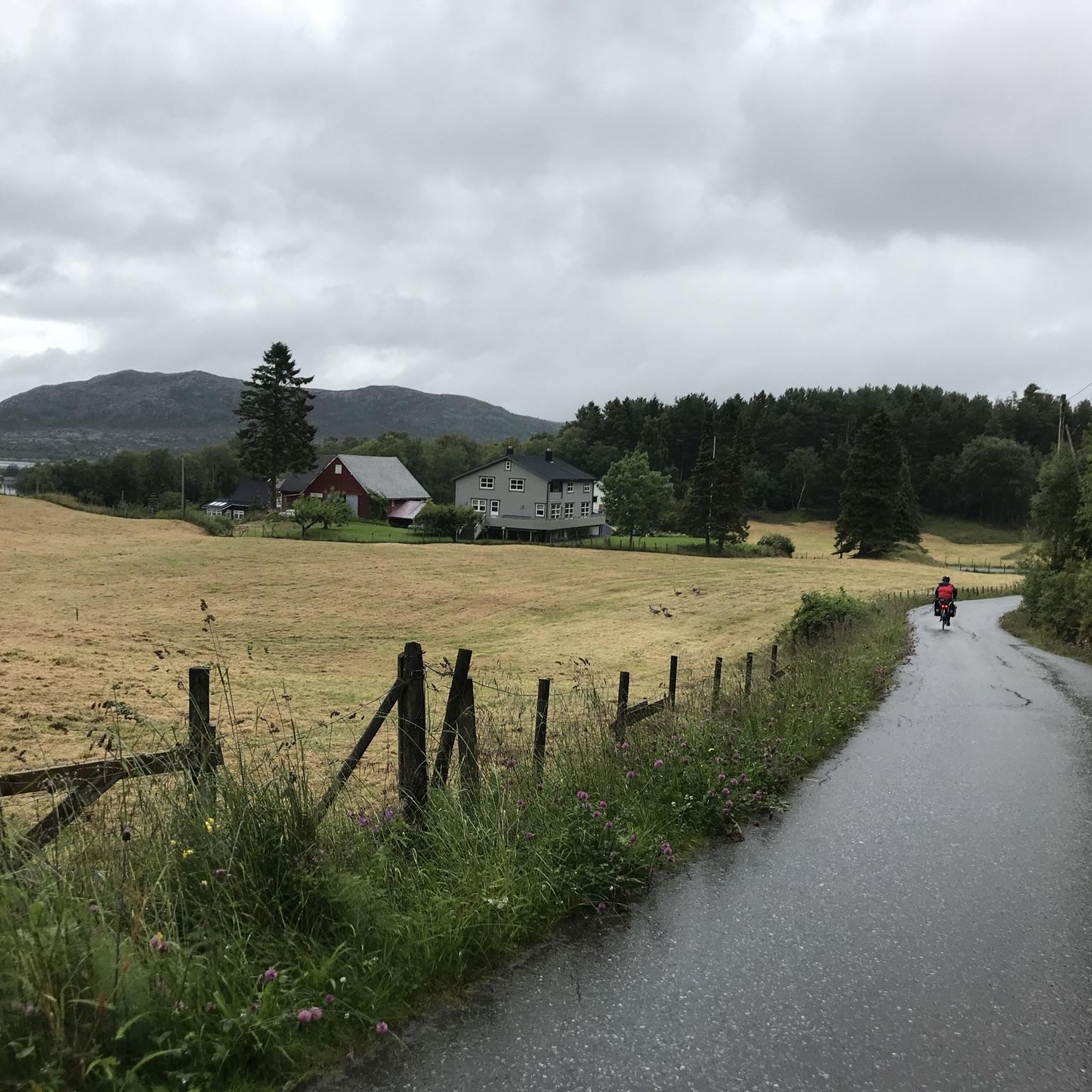
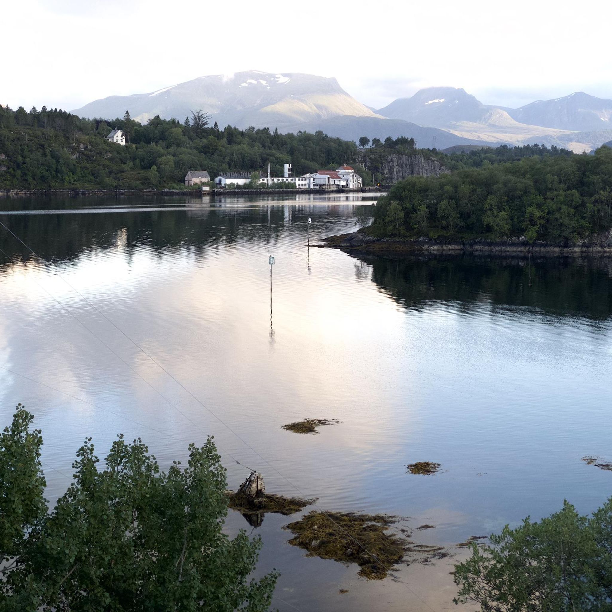
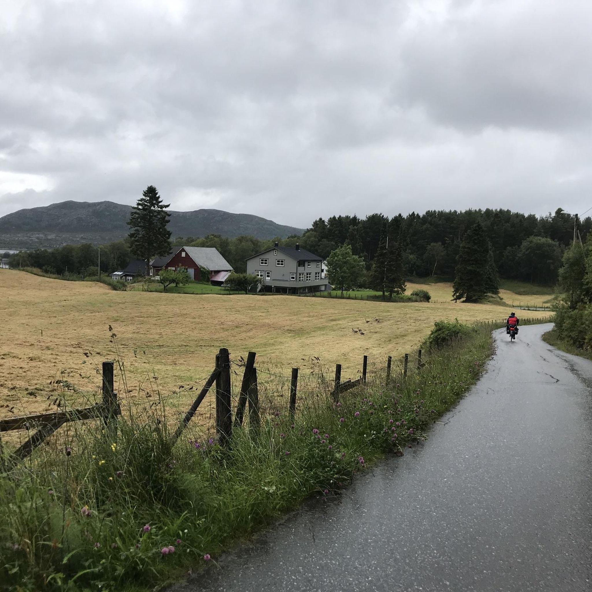
Road cycling routes in Stokksund-Blikkvågane Dyrefredningsområde traverse a coastal landscape characterized by fjords, islands, and islets in the Møre og Romsdal region of Norway. The terrain is predominantly low-lying and undulating, featuring heather moors and generally manageable gradients. Bridges connect many of the larger islands, forming a network of mostly paved surfaces suitable for road bikes. This area offers views of the sea and distant mountains.
Best road cycling routes in Stokksund-Blikkvågane Dyrefredningsområde
- The most popular road cycling route is Garnesvatnet – Vågevågen loop from Myrvåg, a 41.2 miles (66.3 km) trail that takes 3 hours 24 minutes to complete. This route features an elevation gain of 2806 feet (855 meters) and is rated as moderate.
- Another top favourite among local road cyclists is View of Goksøya – Old Water Mill with Grass Roof loop from Dimnøya, a difficult 66.5 miles (107.1 km) path. This route offers extensive coastal views and significant elevation changes.
- Local road cyclists also love the Lomstjørna – Overasanden loop from Bakken, a 20.9 miles (33.7 km) trail leading through undulating coastal terrain, often completed in about 1 hour 45 minutes.
- Road cycling in Stokksund-Blikkvågane Dyrefredningsområde is defined by coastal roads, fjord vistas, and undulating terrain. The network offers options for different ability levels, from easy to difficult.
- The guide includes highly-rated routes that showcase the best of the region's landscape. More than 30 road cyclists have used komoot to explore Stokksund-Blikkvågane Dyrefredningsområde's varied terrain.
Last updated: July 4, 2026
6
riders
67.6km
03:33
870m
870m
Moderate road ride. Good fitness required. Mostly well-paved surfaces and easy to ride.
11
riders
107km
05:03
1,280m
1,280m
Hard road ride. Very good fitness required. Some segments of this route may be unpaved and difficult to ride.

Sign up for free
9
riders
33.7km
01:46
480m
480m
Moderate road ride. Good fitness required. Mostly well-paved surfaces and easy to ride.
6
riders
24.4km
01:04
210m
210m
Easy road ride. Great for any fitness level. Mostly well-paved surfaces and easy to ride.
4
riders
23.4km
01:08
310m
310m
Moderate road ride. Good fitness required. Mostly well-paved surfaces and easy to ride.
Our route recommendations are based on thousands of hikes, rides, and runs completed by other people on komoot.
Start today with a free account
Your next adventure awaits.
Login or Signup
Popular around Stokksund-Blikkvågane Dyrefredningsområde
Tips from the Community

From here, on the island of Remøya, you can admire the various islands opposite and the peaks that make them up. You can see the islands of Nerlandsøya, Bergsøya and, above all, Leinøya, on the other side of the bridge, with the distinctive Leinehornet.
0
0

Beautiful hike to the bird cliff on Runde - the focus was on the puffins. After an extremely steep climb, which is paved, we follow a well-paved hiking trail to the bird cliff, where the puffins have their breeding grounds. The best time is from 6 p.m. onwards, as this is when they return from the sea and feed their young. We were able to observe several puffins with fish in their beaks.
1
0

Great nature, beautiful hiking trails and good views of the birds.
0
0

Climbing the steep path is rewarded with great views of the coast!
1
0

An old mill with a typical grass roof.
0
0

From up here you can overlook the small town and in the evening there is beautiful light over the coast.
2
0


In summer, thousands of puffins come to the cliffs in the evening. It is best to come between 8:00 p.m. and midnight. Do not worry. Even late at night it is still daylight in summer.
1
1
Frequently Asked Questions
What kind of terrain can I expect when road cycling in Stokksund-Blikkvågane Dyrefredningsområde?
The region offers a picturesque coastal landscape with fjords, islands, and islets. The terrain is predominantly low-lying and undulating, featuring heather moors. You'll find a network of mostly asphalted roads connecting many of the larger islands via bridges, providing generally manageable climbs suitable for various skill levels.
How many road cycling routes are available in Stokksund-Blikkvågane Dyrefredningsområde?
There are 5 dedicated road cycling routes in Stokksund-Blikkvågane Dyrefredningsområde, ranging from easy to difficult, ensuring options for different abilities.
Are there any easy road cycling routes for beginners or those looking for a relaxed ride?
Yes, for an easier ride, consider the Ulsteinsanden – Flømolostrand loop from Nedre Varleite. This route is 24.4 km long with an elevation gain of 211 meters, typically taking just over an hour to complete.
What is the best time of year for road cycling in Møre og Romsdal?
The best time for road cycling in Møre og Romsdal, including Stokksund-Blikkvågane Dyrefredningsområde, is generally during the warmer months, from late spring to early autumn (May to September). During this period, you can expect more favorable weather conditions and longer daylight hours.
Are there any challenging road cycling routes for experienced cyclists?
Absolutely. Experienced cyclists can tackle the View of Goksøya – Old Water Mill with Grass Roof loop from Dimnøya. This difficult route spans 107.1 km with a significant elevation gain of 1269 meters, offering extensive coastal views and a demanding ride.
What kind of wildlife might I encounter while cycling in the area?
Stokksund-Blikkvågane Dyrefredningsområde is a wildlife sanctuary primarily for waterfowl, serving as a crucial overwintering and resting place for various bird species, including dense concentrations of sea ducks. You might also spot a permanent population of grey seals in the area.
Are there any moderate-difficulty road cycling routes?
Yes, there are several moderate options. The Hamrane – Fylhammaren loop from Myrvåg is a popular choice, covering 56.6 km with 746 meters of elevation gain. Another moderate route is the Lomstjørna – Overasanden loop from Ulstein kyrkje, which is 33.7 km long with 482 meters of elevation.
What do other road cyclists enjoy most about cycling in Stokksund-Blikkvågane Dyrefredningsområde?
Cyclists often praise the region's unique coastal roads, offering expansive views of the sea and distant mountains. The network of asphalted roads connecting islands via bridges is also highly appreciated for creating diverse and scenic routes.
Are the road cycling routes typically circular?
Yes, many of the road cycling routes in Stokksund-Blikkvågane Dyrefredningsområde are designed as loops, allowing you to start and finish at the same point. Examples include the Gråsteinsletta loop from Nedre Varleite and the Hamrane – Fylhammaren loop from Myrvåg.
What kind of views can I expect along the road cycling routes?
The routes offer expansive views of the sea, distant mountains, and the distinctive coastal landscape featuring fjords, islands, and islets. You'll cycle through areas with heather moors and enjoy the open vistas characteristic of the Møre og Romsdal region.
Most popular routes in Stokksund-Blikkvågane Dyrefredningsområde

Get inspired with the komoot mobile app


Explore more
Browse the best Road cycling routes in other regions.
