The best road cycling routes in Flø Dyrelivsfredning
40
riders
4
rides
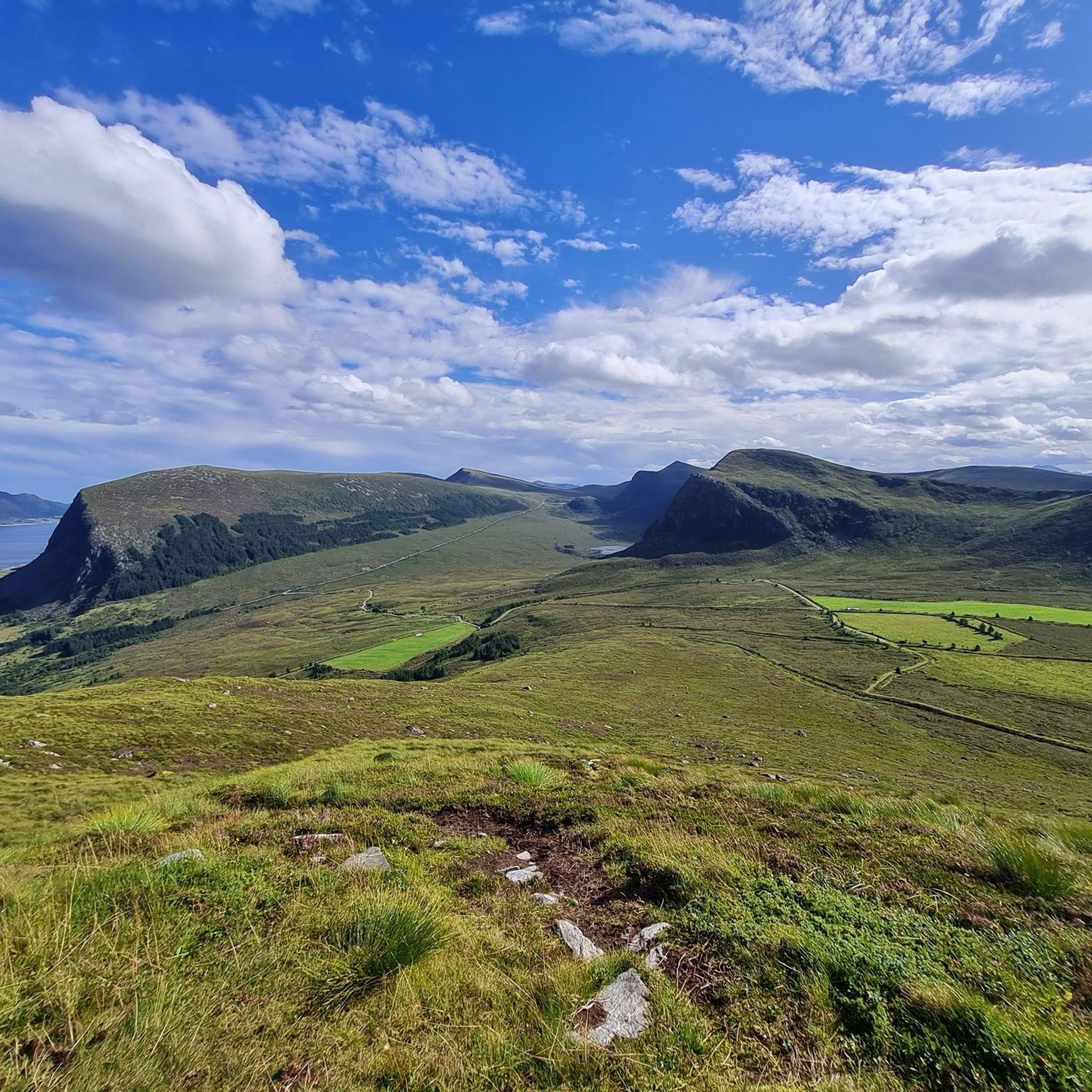
Road cycling routes in Flø Dyrelivsfredning traverse a landscape characterized by rugged mountains, coastal paths, and views of the Atlantic Ocean and Sunnmørsalps. The region features a mix of paved surfaces suitable for road bikes, offering varied terrain from gentle coastal stretches to more challenging ascents. Mountain lakes and a significant bird reserve with flood meadows are also present, contributing to the area's natural features.
Best road cycling routes in Flø Dyrelivsfredning
- The most popular road cycling route is Lomstjørna…
Last updated: July 4, 2026
9
riders
33.7km
01:46
480m
480m
Moderate road ride. Good fitness required. Mostly well-paved surfaces and easy to ride.
11
riders
107km
05:03
1,280m
1,280m
Hard road ride. Very good fitness required. Some segments of this route may be unpaved and difficult to ride.

Sign up for free
6
riders
24.4km
01:04
210m
210m
Easy road ride. Great for any fitness level. Mostly well-paved surfaces and easy to ride.
4
riders
23.4km
01:08
310m
310m
Moderate road ride. Good fitness required. Mostly well-paved surfaces and easy to ride.
10
riders
33.2km
01:42
400m
400m
Moderate road ride. Good fitness required. Mostly well-paved surfaces and easy to ride.
Our route recommendations are based on thousands of hikes, rides, and runs completed by other people on komoot.
Start today with a free account
Your next adventure awaits.
Login or Signup
Popular around Flø Dyrelivsfredning
Tips from the Community

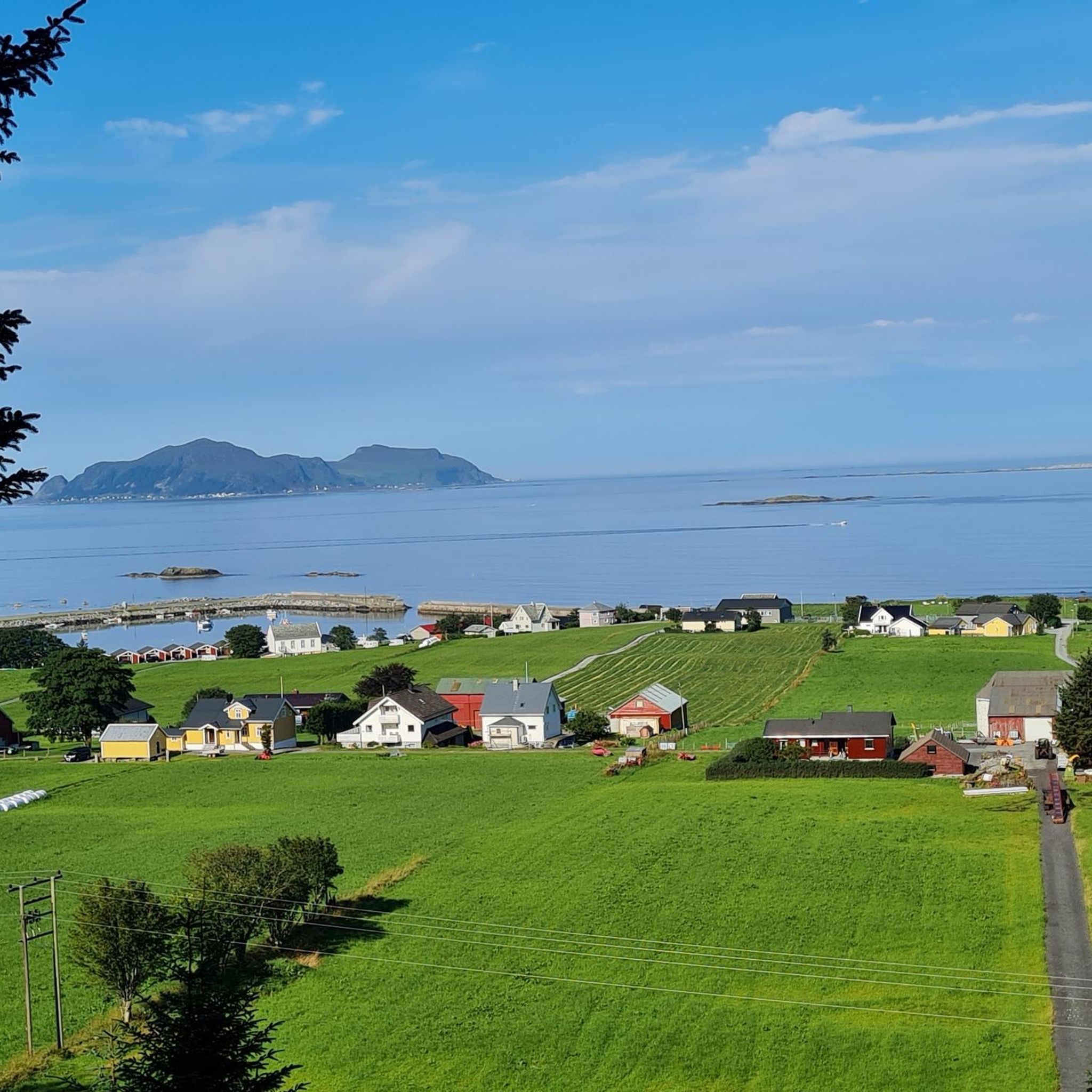
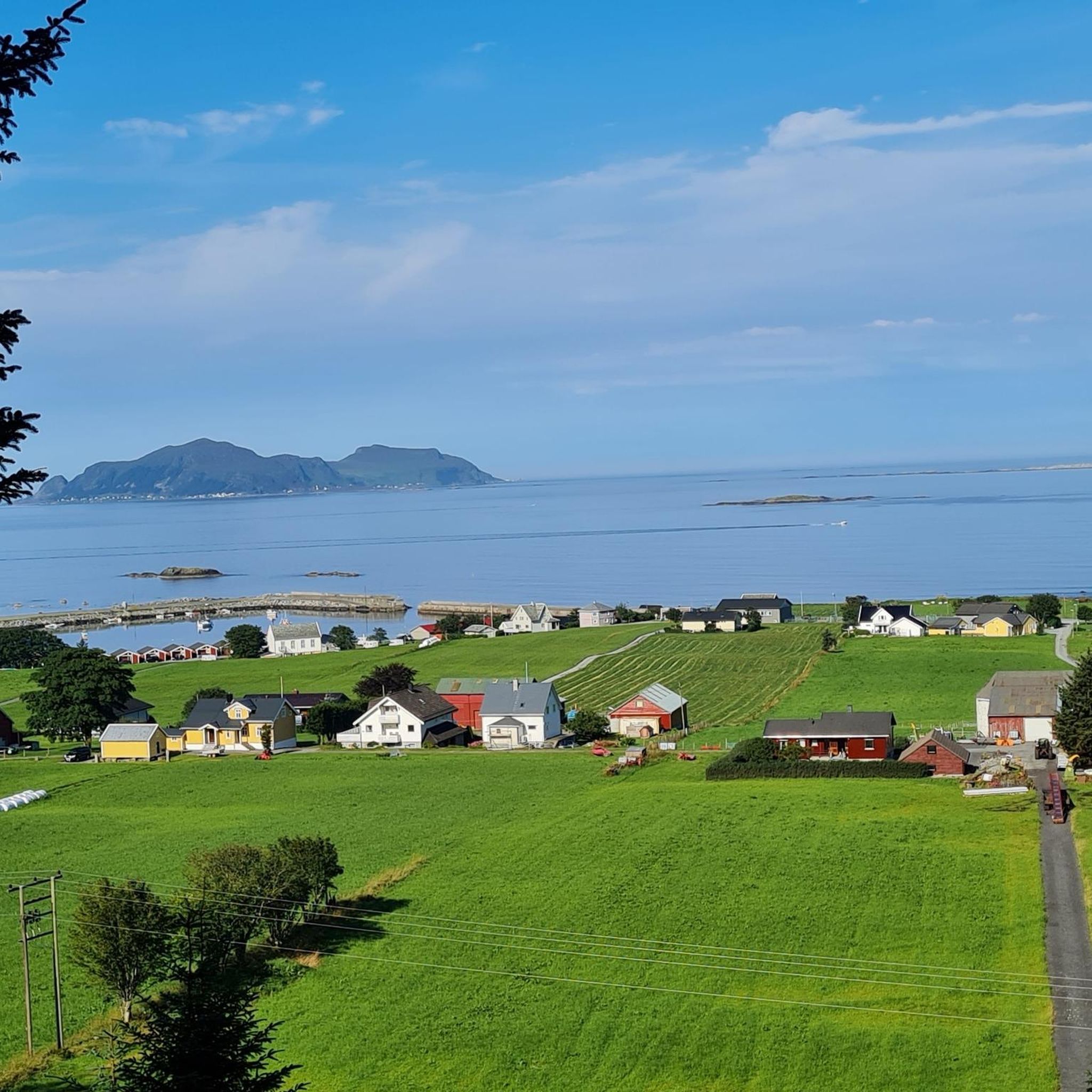
From here, on the island of Remøya, you can admire the various islands opposite and the peaks that make them up. You can see the islands of Nerlandsøya, Bergsøya and, above all, Leinøya, on the other side of the bridge, with the distinctive Leinehornet.
0
0

Beautiful hike to the bird cliff on Runde - the focus was on the puffins. After an extremely steep climb, which is paved, we follow a well-paved hiking trail to the bird cliff, where the puffins have their breeding grounds. The best time is from 6 p.m. onwards, as this is when they return from the sea and feed their young. We were able to observe several puffins with fish in their beaks.
1
0

Great nature, beautiful hiking trails and good views of the birds.
0
0

Climbing the steep path is rewarded with great views of the coast!
1
0

An old mill with a typical grass roof.
0
0

From up here you can overlook the small town and in the evening there is beautiful light over the coast.
2
0


In summer, thousands of puffins come to the cliffs in the evening. It is best to come between 8:00 p.m. and midnight. Do not worry. Even late at night it is still daylight in summer.
1
1
Frequently Asked Questions
What types of road cycling routes can I find in Flø Dyrelivsfredning?
Flø Dyrelivsfredning offers a diverse range of road cycling routes, from easy coastal loops to more challenging ascents with significant elevation changes. You'll find routes primarily on paved surfaces, suitable for various fitness levels, all set against a backdrop of rugged mountains, coastal paths, and views of the Atlantic Ocean and Sunnmørsalps.
Are there any easy road cycling routes suitable for beginners or families?
Yes, there is an easy road cycling route available. The Ulsteinsanden – Flømolostrand loop from Nedre Varleite is a 24.4 km (15.1 miles) trail leading through coastal areas, with a manageable elevation gain of 211 meters (692 feet). This route is often completed in about 1 hour 3 minutes, making it a good option for a more relaxed ride.
What are the most challenging road cycling routes in the area?
For experienced road cyclists seeking a challenge, the View of Goksøya – Old Water Mill with Grass Roof loop from Dimnøya is a difficult 107.1 km (66.5 miles) path. This route features significant elevation changes, with over 1200 meters (3900 feet) of climbing, offering expansive views of the coastline and surrounding islands.
What kind of natural scenery and landmarks can I expect to see while cycling?
Road cycling in Flø Dyrelivsfredning offers stunning natural beauty. You'll experience panoramic views of the majestic Sunnmørsalps and the expansive Atlantic Ocean. The routes often follow coastal roads, pass by mountain lakes, and traverse areas shaped by the sea. While there aren't specific 'nearby attractions' listed for these routes, the landscape itself is the main draw, with opportunities to spot local wildlife.
What is the best time of year for road cycling in Flø Dyrelivsfredning?
The best time for road cycling in the Sunnmøre region, including Flø Dyrelivsfredning, is generally during the warmer months, from late spring to early autumn. This period offers more stable weather conditions, longer daylight hours, and milder temperatures, making for a more enjoyable cycling experience. Always check local weather forecasts before heading out.
Are there any circular road cycling routes available?
Yes, all the featured road cycling routes in Flø Dyrelivsfredning are designed as loops. For example, you can enjoy the moderate Lomstjørna – Overasanden loop from Ulstein kyrkje, which covers 33.7 km (20.9 miles) with 482 meters (1,581 feet) of elevation gain, or the shorter Gråsteinsletta loop from Nedre Varleite at 23.4 km (14.5 miles).
Where can I find parking for road cycling routes in Flø Dyrelivsfredning?
While specific parking locations for each route start point are not detailed, the routes often begin from villages or accessible points like Ulstein kyrkje or Nedre Varleite. It's advisable to look for public parking areas within these towns or near the start of your chosen route. Parking near Flø beach is also a known option for accessing the coastal areas.
What other outdoor activities can be combined with road cycling in Flø Dyrelivsfredning?
Flø and its surroundings are a hub for various outdoor pursuits. Beyond road cycling, you can enjoy hiking on numerous trails, water sports like windsurfing, kiting, and even winter surfing. Fishing in mountain lakes or the fjord is popular, and the mountains offer opportunities for climbing and bouldering. Paragliding, hang-gliding, and off-road biking are also possible, and in autumn, you can pick blueberries and cloudberries.
Are there places to eat or get refreshments near the cycling routes?
Flø itself is a quiet village, but for shopping, cafes, and restaurants, Ulsteinvik is just a short drive away. It's recommended to plan your refreshments, especially for longer routes, by either carrying supplies or checking for establishments in nearby towns like Ulsteinvik before or after your ride.
How many road cycling routes are available in Flø Dyrelivsfredning?
There are 4 distinct road cycling routes detailed in this guide for Flø Dyrelivsfredning, catering to various difficulty levels from easy to difficult. These routes showcase the best of the region's landscape for road cyclists.
What are the typical distances and elevation gains for road cycling routes here?
The road cycling routes in Flø Dyrelivsfredning vary significantly. Distances range from approximately 23 km (14.5 miles) for routes like the Gråsteinsletta loop from Nedre Varleite, up to 107 km (66.5 miles) for the challenging View of Goksøya – Old Water Mill with Grass Roof loop from Dimnøya. Elevation gains can range from around 200 meters (650 feet) for easier routes to over 1200 meters (3900 feet) for the more difficult ones.
Can I reach Flø Dyrelivsfredning by public transport to access the cycling routes?
While Flø is a quiet village, it is connected to larger towns. Public transport options, such as buses, typically connect Flø to Ulsteinvik. From Ulsteinvik, you might need to cycle or arrange local transport to reach specific route starting points. It's advisable to check local bus schedules for the most up-to-date information on connections to Flø.

Get inspired with the komoot mobile app


Explore more
Browse the best Road cycling routes in other regions.
