The best walks and hikes in Vištytgiris
4.3
(8)
44
hikers
6
hikes
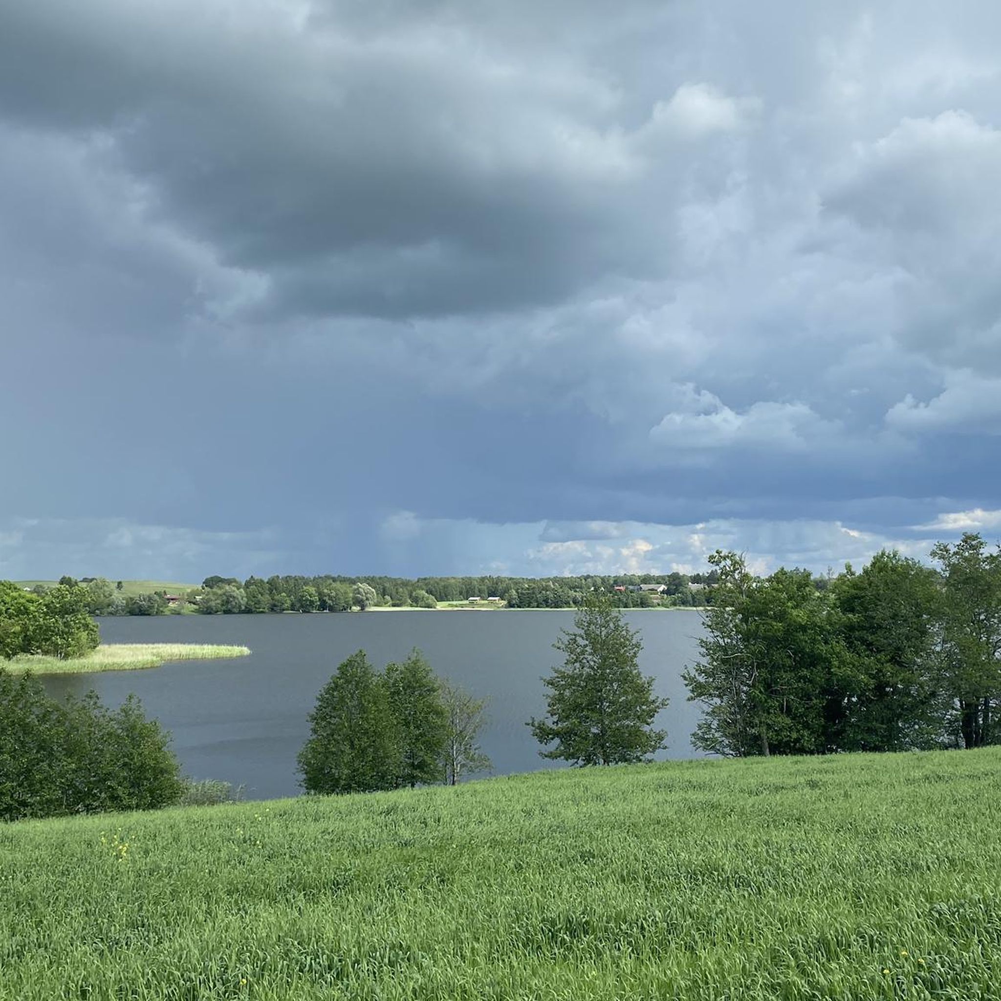
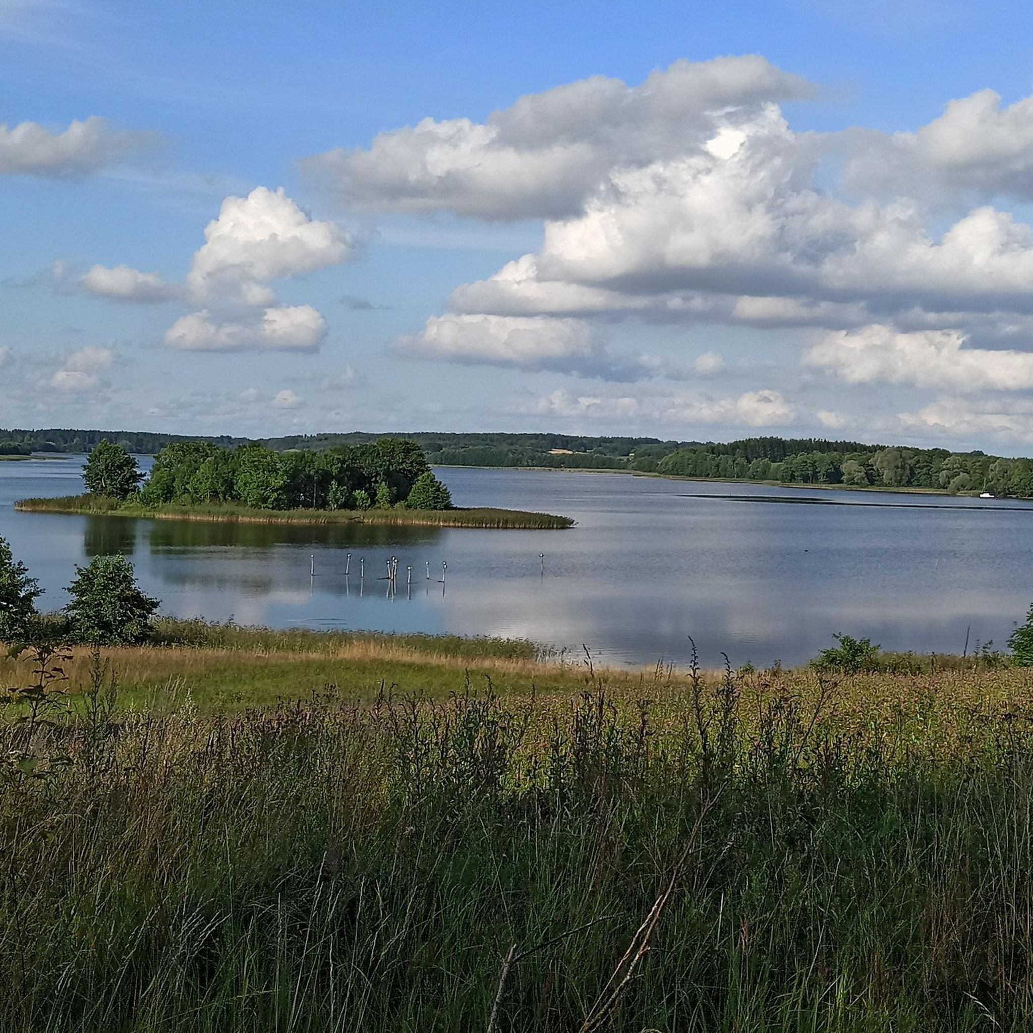
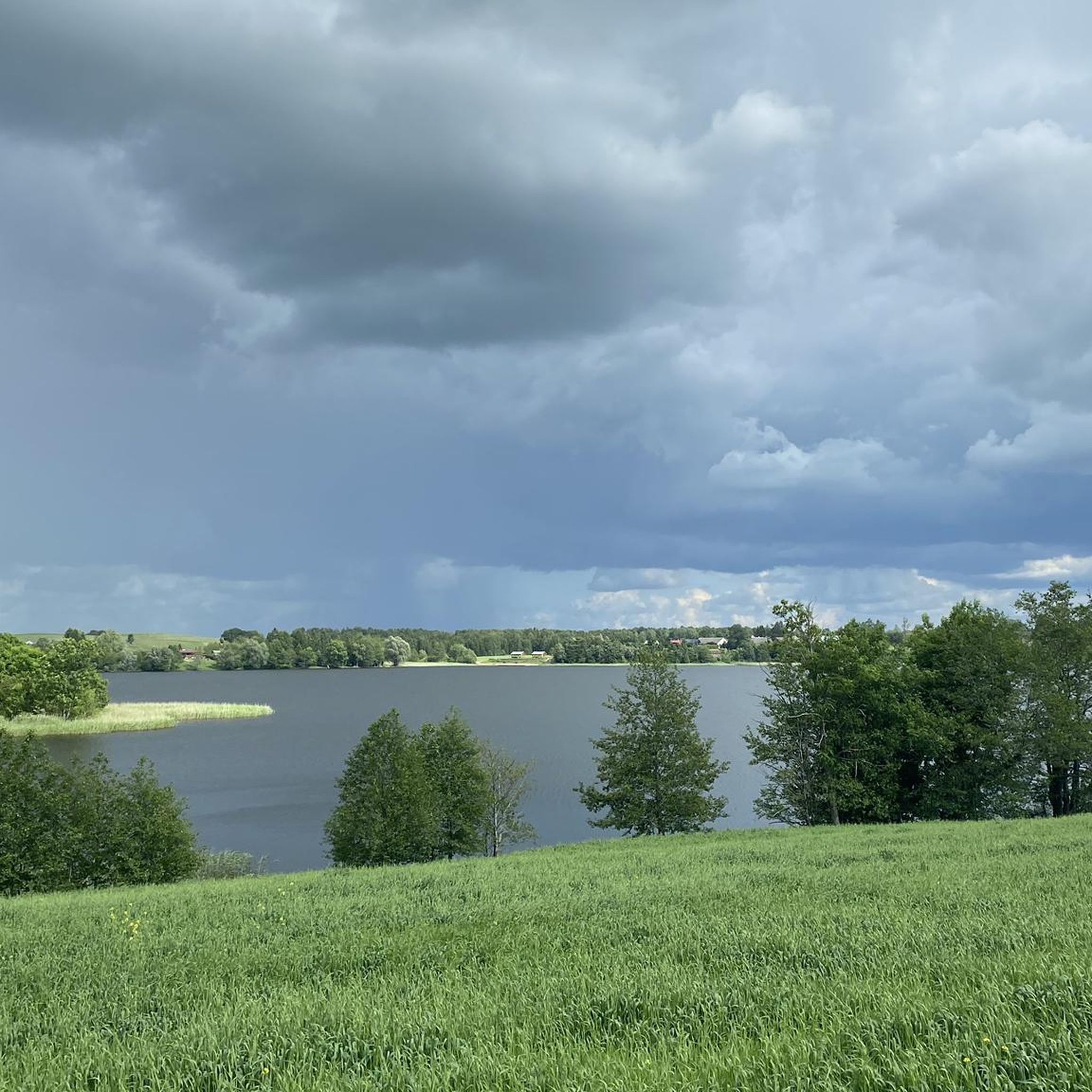
Hiking trails in Vištytgiris are primarily located within Vištytis Regional Park, characterized by its varied terrain surrounding Vištytis Lake. The landscape features forested areas and gentle hills, with elevation changes typically under 200 meters. This region offers a network of routes suitable for exploring its natural features and the tripoint of borders.
Best hiking trails in Vištytgiris
- The most popular hiking route is Picnic Area by Vištytis Lake – Wisztyniec Sacred Spring loop from Čižiškiai, a 2.7 miles (4.3…
Last updated: June 29, 2026
4.7
(3)
19
hikers
Easy hike. Great for any fitness level. Easily-accessible paths. Suitable for all skill levels.
2.0
(1)
7
hikers
8.22km
02:13
100m
110m
Moderate hike. Good fitness required. Easily-accessible paths. Suitable for all skill levels.

Sign up for free
5.0
(2)
5
hikers
5.14km
01:23
60m
60m
Easy hike. Great for any fitness level. Easily-accessible paths. Suitable for all skill levels.
5.0
(1)
5
hikers
Moderate hike. Good fitness required. Easily-accessible paths. Suitable for all skill levels.
5.0
(1)
6
hikers
18.3km
04:51
190m
190m
Moderate hike. Good fitness required. Easily-accessible paths. Suitable for all skill levels.
Our route recommendations are based on thousands of hikes, rides, and runs completed by other people on komoot.
Start today with a free account
Your next adventure awaits.
Login or Signup

Tips from the Community

The holy source of Vištinets has its own legend. On the trees surrounding this place are hung works of art. Worth seeing.
0
0

The cliff can be reached via an educational trail from the parking lot.
1
0
The holy place can also be reached by car.
0
0

The place where the borders of Poland, Lithuania and Russia meet. Unfortunately, apart from a pole surrounded by barbed wire, there is nothing else here. We were passing by, which is why we visited this place. A ride or a walk that necessarily includes seeing this place is not worth the effort in my opinion, but everyone can do as they please.
2
0
The place where the borders of Poland, Lithuania and Russia meet. Unfortunately, apart from a pole surrounded by barbed wire, there is nothing else here. We were passing by, which is why we visited this place. A ride or a walk that necessarily includes seeing this place is not worth the effort in my opinion, but everyone can do as they please.
4
0
Here you should leave your car and walk about 500 m to the border triangle. There are several boards with information about nearby attractions.
3
0

Barbed wire and fences have been erected. Sad.
2
0

It doesn't look like that anymore!! Barbed wire and you can't enter
2
0
Frequently Asked Questions
How many hiking trails are available in Vištytgiris?
Vištytgiris offers a selection of 6 hiking routes, catering to various preferences and skill levels. These trails are primarily located within Vištytis Regional Park.
What kind of terrain can I expect on hikes in Vištytgiris?
The hiking trails in Vištytgiris, mainly within Vištytis Regional Park, feature varied terrain. You'll encounter forested areas, gentle hills, and paths around Vištytis Lake. Elevation changes are generally modest, typically under 200 meters.
Are there any easy hiking routes suitable for beginners in Vištytgiris?
Yes, Vištytgiris has several easy routes. For instance, the Picnic Area by Vištytis Lake loop from Čižiškiai is an easy 5.1 km (3.2 miles) trail that takes about 1 hour 23 minutes to complete, offering a pleasant stroll near the lake.
Are there any circular hiking routes in Vištytgiris?
Many of the trails in Vištytgiris are designed as circular routes. For example, the Picnic Area by Vištytis Lake – Wisztyniec Sacred Spring loop from Čižiškiai is a popular easy loop, and the more challenging Picnic Area by Vištytis Lake – Wisztyniec Sacred Spring loop from Yagodnoye also forms a complete circuit.
What are the longer hiking options in Vištytgiris?
For those seeking a longer adventure, the Picnic Area by Vištytis Lake – Wisztyniec Sacred Spring loop from Yagodnoye is a difficult 22.5 km (14 miles) route, typically taking around 5 hours 53 minutes. Another substantial option is the Parking at the tripoint – Tripoint of borders loop from Bakšiškiai, a moderate 18.3 km (11.3 miles) trail.
What natural features or landmarks can I see while hiking in Vištytgiris?
Hikes in Vištytgiris often feature the scenic Vištytis Lake and its surrounding forested areas. Some routes, like the Picnic Area by Vištytis Lake – Wisztyniec Sacred Spring loop from Čižiškiai, pass by the Wisztyniec Sacred Spring. Other trails explore the unique area near the tripoint of borders.
What do other hikers enjoy most about the trails in Vištytgiris?
The trails in Vištytgiris are highly rated by the komoot community, with an average score of 4.1 stars from over 9 reviews. Hikers often appreciate the peaceful lake shore paths, the varied forested sections, and the gentle hills that make the region accessible for different ability levels.
Are there any moderate difficulty hikes in Vištytgiris?
Yes, there are several moderate options. The Picnic Area by Vištytis Lake – Pakalnių Lake loop from Čižiškiai is a moderate 8.2 km (5.1 miles) path that explores the areas around both Vištytis Lake and Pakalnių Lake, offering a good balance of challenge and scenery.
How long do hikes in Vištytgiris typically take?
Hike durations in Vištytgiris vary significantly depending on the route. Shorter, easy trails like the Picnic Area by Vištytis Lake – Wisztyniec Sacred Spring loop from Čižiškiai can be completed in just over an hour, while longer, more difficult routes such as the Picnic Area by Vištytis Lake – Wisztyniec Sacred Spring loop from Yagodnoye can take nearly six hours.
Is Vištytgiris suitable for family-friendly hikes?
Given the presence of easy routes with gentle elevation changes, such as the 4.3 km (2.7 miles) Picnic Area by Vištytis Lake – Wisztyniec Sacred Spring loop from Čižiškiai, Vištytgiris offers options that can be enjoyable for families looking for a pleasant outdoor experience.
What is the highest elevation gain on a trail in Vištytgiris?
The most significant elevation gain on a single trail in Vištytgiris is found on the Parking at the tripoint – Tripoint of borders loop from Bakšiškiai, which features an ascent of approximately 185 meters (607 feet).

Get inspired with the komoot mobile app


Explore more
Browse the best Hikes in other regions.
