The best walks and hikes in Brendan T. Byrne State Forest
3.8
(4)
73
hikers
15
hikes
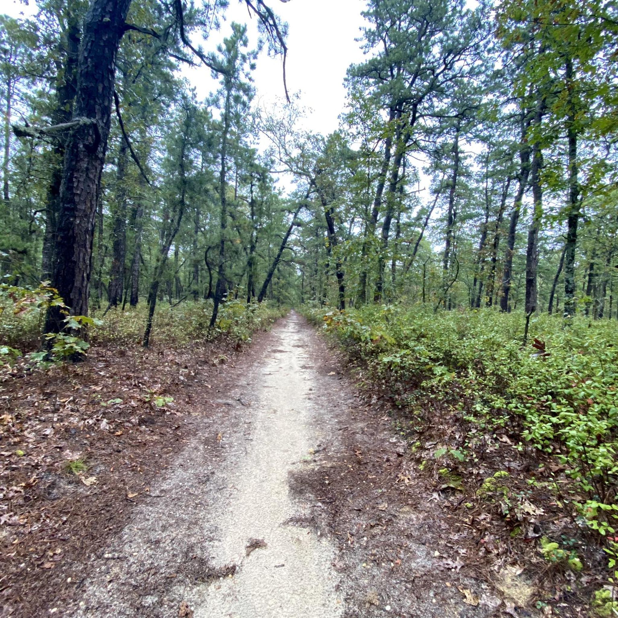
Hikes in Brendan T. Byrne State Forest lead through the characteristic landscape of the New Jersey Pine Barrens. The region is defined by vast stands of pine and oak trees, Atlantic White Cedar swamps, and sandy paths. Most trails are relatively flat, winding through the forest and around features like Pakim Pond.
Best hiking trails in Brendan T. Byrne State Forest
- The most popular hiking route is Mount Misery Trail loop — Brendan T. Byrne State Forest, a 9.8 mile (15.8 km) trail that takes around 3 hours 59 minutes to complete. This moderate route follows a wide, sandy path through the pine and oak forest.
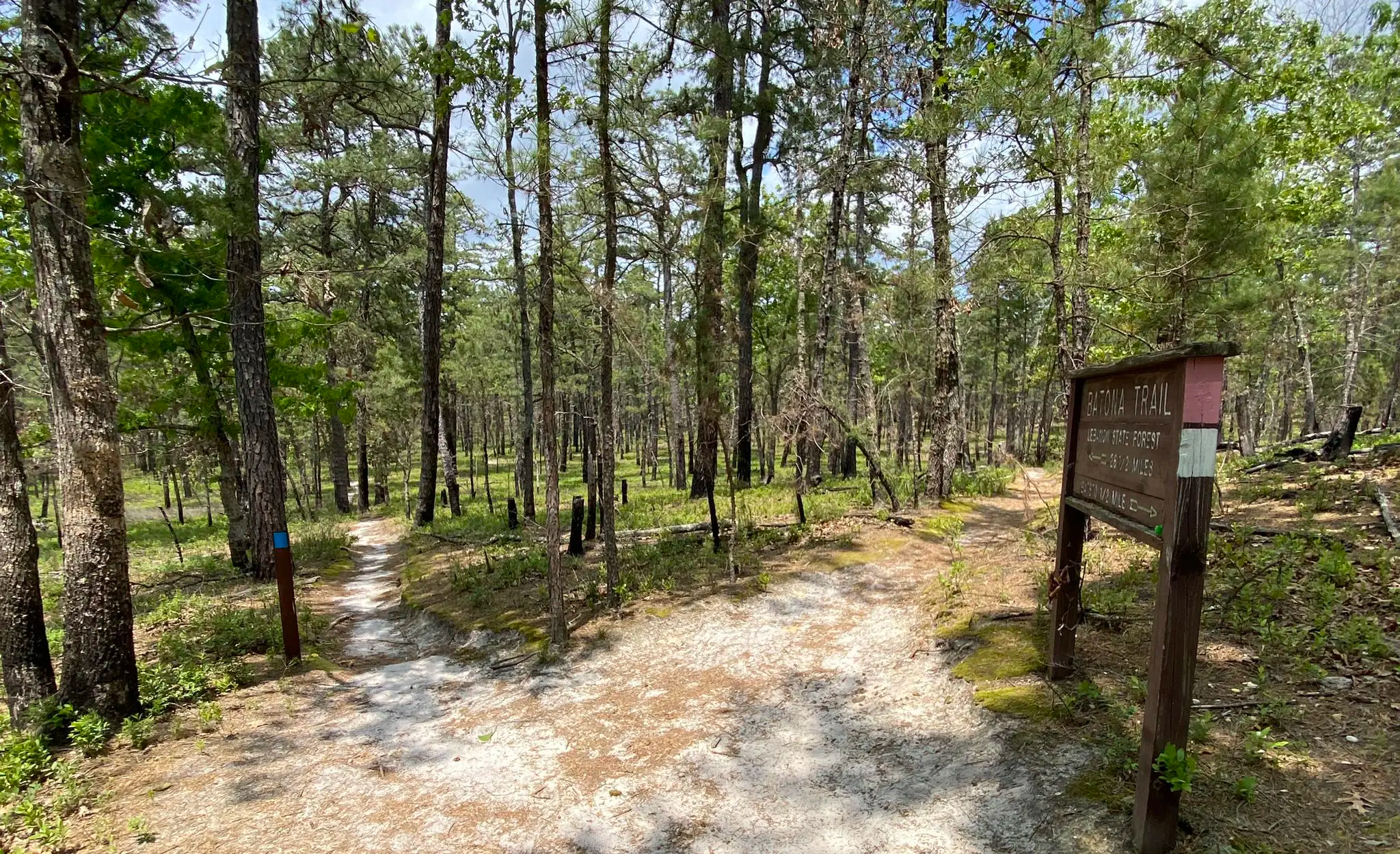
- Another top favourite among local hiking enthusiasts is Batona Trail & Cranberry Trail loop — Brendan T. Byrne State Forest, a moderate 7.0 mile (11.3 km) path. The trail combines a section of the long-distance Batona Trail with a loop through the local forest.
- Local hiking enthusiasts also love the Pakim Pond via Batona Trail — Brendan T. Byrne State Forest, a 16.7 mile (26.8 km) trail leading through the Pine Barrens, often completed in about 6 hours 48 minutes.
- Hiking in Brendan T. Byrne State Forest is defined by sandy forest trails, cedar swamps, and sections of the Batona Trail. The trail network offers options for different ability levels, from short loops to longer, more challenging hikes.
- The routes in Brendan T. Byrne State Forest are rated by the komoot community with an average score of 3.8 stars from a number of reviews. More than 70 hikers have used komoot to explore Brendan T. Byrne State Forest's varied terrain.
Last updated: July 8, 2026
5.42km
01:22
10m
10m
The Cranberry Trail at Whitesbog offers a delightful, easy hike through New Jersey's unique Pine Barrens. You'll wander along mostly sandy, flat paths, passing through serene cedar forests and open wetlands, with picturesque views of both wild and cultivated cranberry bogs. Keep an eye out for historical buildings like the Whitesbog General Store and old worker's cottages, which add a fascinating layer of history to the natural scenery.
This 3.4-mile (5.4 km) route has a negligible 22 feet (7 metres) of elevation gain and takes about 1 hour and 21 minutes, making it an excellent choice for a leisurely outing. While the trail is straightforward, some sections can have heavy sand, so comfortable hiking boots are a good idea. It's a great option for families or anyone looking for a gentle walk with a blend of nature and history.
This trail is notable for its deep connection to the region's cranberry and blueberry industries, offering a tangible link to the agricultural past of the Pine Barrens. Managed by the Whitesbog Preservation Trust, the area provides a glimpse into a preserved historic village, making it more than just a hike but an educational experience. It's a perfect way to explore the unique flora and fauna of the Pine Barrens while learning about its heritage.
2.75km
00:42
10m
0m
Embark on an easy 1.7-mile (2.8 km) hike along the Whitesbog Trail, a route that takes you through flat, sandy terrain in the heart of the New Jersey Pine Barrens. You will experience a gentle 29 feet (9 metres) of elevation gain, making this a quick adventure that typically takes around 41 minutes to complete. As you walk, you'll pass extensive cranberry bogs and blueberry fields, dense pine forests, and even Atlantic white cedar swamps, with Elizabeth White's native plant garden offering a charming visual landmark.
When planning your visit, be aware that while the trail is generally easy, some sandy sections can be soft underfoot. Navigation might also be a bit tricky, as many roads in the area look similar and are not always clearly marked. The route is dog-friendly, so your furry companions can join you, and the Whitesbog Historic Village provides educational programs and a general store for added convenience.
This trail offers a unique glimpse into the historic Whitesbog Village, a significant part of New Jersey's agricultural heritage. You'll explore an area known for its cranberry and blueberry cultivation, set within the distinctive ecosystem of the Pine Barrens. The village itself, with its historic homes and interpretive signs, adds a rich cultural layer to your outdoor experience.

Sign up for free
84.8km
21:31
190m
210m
The Batona Trail offers a deep dive into the unique Pine Barrens of New Jersey, a landscape unlike any other. You'll traverse sandy paths through extensive pine-oak forests, past picturesque cedar swamps, and alongside ancient cranberry bogs, with the chance to spot wildlife like white-tailed deer and hawks. The trail's name, a contraction of “BAck TO NAture,” perfectly captures the remote, wild feel of this 52.7-mile (84.8 km) hiking route.
This difficult trail, with a minimal 619 feet (189 metres) of elevation gain, is a significant undertaking, typically requiring about 21 hours and 31 minutes to complete end-to-end. While it's a popular choice for multi-day backpacking, its numerous access points also make it ideal for day hikes. If you plan an overnight trip, remember that designated campsites require a permit.
As one of New Jersey's longest trails, the Batona Trail is notable for its journey through the Pinelands National Reserve, connecting several state forests like Brendan T. Byrne State Forest. You'll encounter historical sites such as Martha's Furnace and the Apple Pie Hill Fire Tower, which offers rare panoramic views of the pine canopy, making it a rewarding experience for those seeking both nature and history.
5.0
(1)
3
hikers
11.3km
02:52
20m
20m
Hike the Batona and Cranberry Trail Loop in Brendan T. Byrne State Forest, a moderate 7.0-mile route through pine forests and cranberry bogs
5.0
(1)
4
hikers
15.8km
03:59
30m
30m
Hike the moderate 9.8-mile Mount Misery Trail Loop in Brendan T. Byrne State Forest, featuring cranberry bogs and Pakim Pond.
Get access to more routes and recommendations from other explorers.
Sign up for free
Already have an account?
Our route recommendations are based on thousands of hikes, rides, and runs completed by other people on komoot.
Start today with a free account
Your next adventure awaits.
Login or Signup

Other adventures in Brendan T. Byrne State Forest

Tips from the Community

This old iron furnace operated between 1793 and the 1840s producing pig iron and other products from locally sourced bog iron (responsible for the color of the water you see here in the pine barrens!) There was once a little town surrounding the furnace, but the town was abandoned and the ruins of the furnace are now buried under sand within a fence perimeter.
0
0
This is a great picnic spot with a table in view of the tower. The fire tower is fenced in around the base and closed when not on fire watch.
0
0

Renowned for its tranquil beauty, the river is characterized by dense Atlantic white cedar forests that create a mystical atmosphere, often likened to the fictional River Anduin from Tolkien's "The Lord of the Rings." While primarily known for its kayaking and canoeing opportunities, the Oswego River also holds historical significance, as evidenced by the remnants of a 1939 WPA construction project near the Harrisville Dam.
0
0
Once known as Lebanon State Forest, it bears the name of a former New Jersey Governor who championed environmental protection. The forest is renowned for its diverse ecosystem, offering opportunities for hiking, camping, mountain biking, fishing, and birdwatching. History buffs can explore the remnants of the Lebanon Glass Works, a thriving industry of the 19th century. The Cedar Swamp Natural Area within the forest is a unique habitat teeming with rare plant life.
0
0
Known for its moderate challenge and scenic beauty, the trail winds through the heart of the Pine Barrens, offering hikers and bikers a chance to immerse themselves in nature. While the name might suggest a difficult trek, the trail actually provides a rewarding outdoor experience with opportunities to observe diverse wildlife and enjoy the tranquility of the forest.
0
0
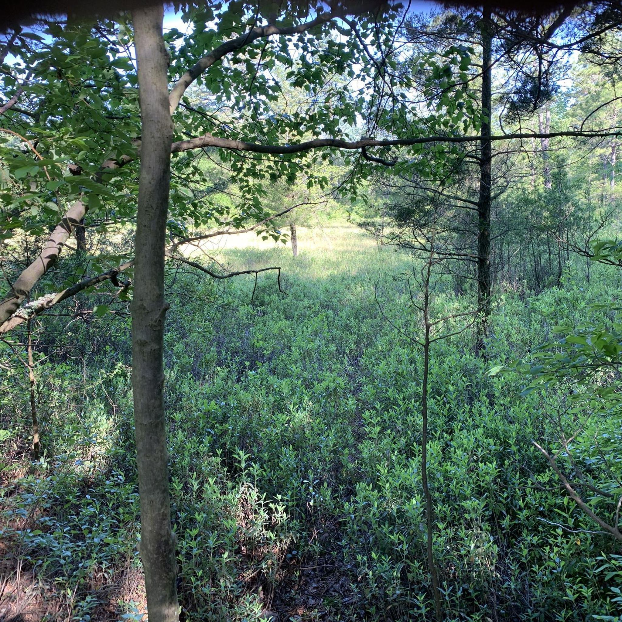
These unique wetlands are integral to the region's ecosystem, providing habitat for various plant and animal species. Historically significant, the bogs represent a vital part of the area's agricultural heritage, as cranberries have been cultivated here for generations. You can appreciate the delicate balance of nature and human interaction, as well as the picturesque beauty of this distinctive landscape.
0
0

Pakim Pond has a small viewing platform and a few informational plaques. Near the parking area there is a picnic area, and in the fall, the trees around Pakim Pond change color and are reflected in the water.
0
0

Great place to stop if you are riding the trails through Brendan T. Byrne State Forest. There is a small platform you can go out on to get a good view of the water.
2
0
Frequently Asked Questions
What are the trail conditions like in Brendan T. Byrne State Forest?
The trails are characteristic of the New Jersey Pine Barrens, meaning they are generally flat and sandy. You'll be hiking through vast stands of pine and oak trees, with some routes passing through unique Atlantic White Cedar swamps and alongside iron-rich streams.
Are dogs allowed on the hiking trails?
Yes, dogs are welcome on the trails in Brendan T. Byrne State Forest. To protect the unique local wildlife and for the consideration of other visitors, please keep your dog on a leash and clean up after them.
Are there any easy, family-friendly hikes?
Absolutely. The forest's flat terrain makes it great for families. The Cranberry Trail is even wheelchair-accessible. For a short and simple walk, consider the Observation Platform loop from Chatsworth, which is an easy route perfect for all ages.
I'm looking for a challenging hike. What do you recommend?
For a more demanding experience, the Pakim Pond via Batona Trail is a difficult 16.7-mile (26.8 km) hike. This route includes a significant portion of the famous 50-mile Batona Trail, offering a true immersion into the Pine Barrens.
Where can I find a trail map for the forest?
You can plan your routes directly in komoot. For an official overview, the New Jersey Department of Environmental Protection provides a detailed trail brochure. You can download it here: Brendan T. Byrne State Forest Trail Map.
Is there parking available for hikers?
Yes, there are several parking areas within the forest that serve as convenient starting points for hikes. The area around Pakim Pond is a popular spot to park and begin exploring the trails.
What makes the landscape in this forest unique?
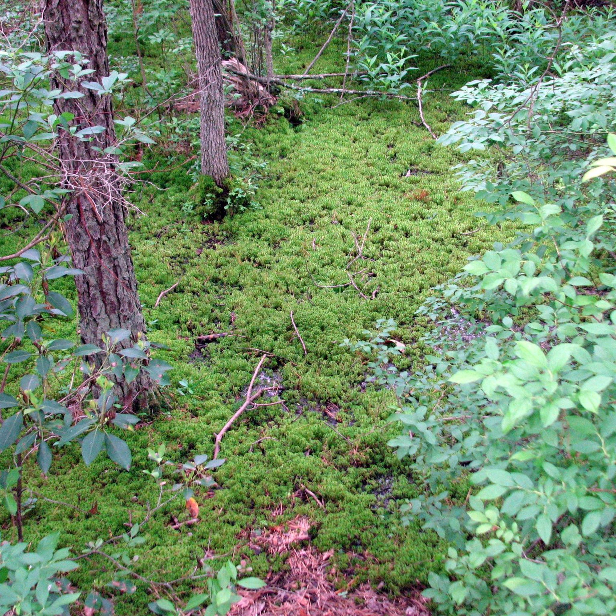
The forest is a prime example of the Pine Barrens ecosystem. It features nutrient-poor, acidic soil that supports unique flora, including carnivorous plants like pitcher plants and sundews, especially around Pakim Pond. You will also find beautiful Atlantic White Cedar swamps, which are a protected natural area.
Are there any historical sites to see while hiking?
Yes, the forest contains remnants of the region's past. While hiking, you can find stone and brick ruins of the former Lebanon Glass Works, which operated in the mid-1800s. Nearby is the historic Whitesbog Village, where the first cultivated blueberry was developed.
Can I go backpacking or camping in the forest?
Yes, Brendan T. Byrne State Forest is a great spot for backpacking, especially along the Batona Trail which connects to other state forests. The forest offers designated campsites and rustic cabins for overnight stays, allowing for multi-day hiking adventures.
What do other hikers enjoy about Brendan T. Byrne State Forest?
The area is well-regarded by the komoot community. Hikers often praise the serene, quiet atmosphere of the pine forests and the well-marked, sandy trails. The feeling of being immersed in the unique Pine Barrens landscape is a frequently mentioned highlight.
Are there any circular walks available?
Yes, the forest has several excellent loop trails so you can end your hike where you started. The Batona Trail & Cranberry Trail loop is a moderate 7-mile (11.3 km) circular route that combines a piece of the long-distance trail with local paths.
How many miles of trails are in the forest?
Brendan T. Byrne State Forest boasts over 25 miles of marked trails. This includes multi-use paths and a 10-mile section of the much longer Batona Trail, providing plenty of options for short walks or long-distance treks.
Most popular routes in Brendan T. Byrne State Forest

Get inspired with the komoot mobile app


Explore more
Browse the best Hikes in other regions.
