The best road cycling routes around Haparanda kommun
4.0
(1)
73
riders
10
rides
Road cycling around Haparanda kommun is characterized by its flat to gently undulating terrain, influenced by the proximity to the Baltic Sea and the Torne River delta. Road cycling routes here often follow riverbanks and coastal areas, providing long stretches with minimal elevation changes. The landscape primarily consists of open fields, scattered forests, and waterways, offering a consistent surface for road bikes. This region provides an environment suitable for extended rides without significant climbs.
Best road cycling routes around Haparanda…
Last updated: October 8, 2026
5
riders
116km
04:40
380m
380m
Moderate road ride. Good fitness required. Mostly well-paved surfaces and easy to ride.
13
riders
52.1km
02:27
170m
170m
Moderate road ride. Good fitness required. Mostly well-paved surfaces and easy to ride.

4.0
(1)
23
riders
45.7km
01:54
130m
130m
Easy road ride. Great for any fitness level. Mostly well-paved surfaces and easy to ride.
5
riders
63.1km
02:45
190m
190m
Moderate road ride. Good fitness required. Some segments of this route may be unpaved and difficult to ride.
4
riders
44.9km
01:55
110m
110m
Moderate road ride. Great for any fitness level. Some segments of this route may be unpaved and difficult to ride.
Get access to more routes and recommendations from other explorers.
Already have an account?
Our route recommendations are based on thousands of hikes, rides, and runs completed by other people on komoot.
Start today with a free account
Your next adventure awaits.
Popular around Haparanda kommun
Tips from the Community


Tornio is a town located in northern Finland, on the border with Sweden. It lies at the mouth of the Tornionjoki river, which forms the natural boundary between Finland and Sweden. Tornio has a rich cultural heritage and is known for its bilingual (Finnish and Swedish) population.
0
0
Tervola is a small town in Lapland located just south of Rovaniemi. It lies along the Kemijoki River, offering beautiful natural surroundings, including forests, lakes, and rivers.
1
0

The Kemijoki was once a very salmon-rich river. The Sami have caught thousands of tons of salmon each season. Due to the many barrages, the salmon may have become rarer. There is a large fish ladder at the last dam wall before the mouth. In the summer of 2022, however, it was out of service. Obviously she needs(had) a reconstruction.
0
0

Built in wood, the building looks very nice. You can take a great photo of the bridge.
9
0
You can enjoy the good view from the bridge. Take a short picture and then drive on.
5
0
Frequently Asked Questions
What is the general terrain like for road cycling in Haparanda kommun?
Road cycling in Haparanda kommun is characterized by its flat to gently undulating terrain. Routes often follow riverbanks and coastal areas, providing long stretches with minimal elevation changes. The landscape primarily consists of open fields, scattered forests, and waterways, offering a consistent surface suitable for extended rides without significant climbs.
Are there road cycling routes suitable for beginners in Haparanda kommun?
Yes, Haparanda kommun offers several easy road cycling routes perfect for beginners. For instance, the Pörhölänpudas loop from Tornio is an easy 28.3-mile (45.6 km) path winding through flat plains. Another accessible option is the Liakanjoki loop from Tornio-Itäinen, which is 27.7 miles (44.5 km) long.
What are some longer, more challenging road cycling routes in the area?
For those seeking longer rides, the Kemijoki river to Tervula loop from Keminmaa is a moderate 71.8-mile (115.6 km) trail that follows the Kemijoki river, offering long, flat sections suitable for endurance cycling. Another moderate option is the Tornio loop from Haparanda, covering 39.4 miles (63.4 km).
Are there any circular road cycling routes available?
Many of the road cycling routes in Haparanda kommun are designed as loops. Examples include the Pörhölänpudas loop from Tornio, the Roadbike loop from Tornio-Itäinen, and the Liakanjoki loop from Tornio-Itäinen, all offering convenient circular paths.
What is the best season for road cycling in Haparanda kommun?
The best season for road cycling in Haparanda kommun is typically during the warmer months, from late spring to early autumn (May to September). During this period, you can expect milder temperatures and longer daylight hours, ideal for enjoying the open fields, riverbanks, and coastal stretches.
What kind of scenic views can I expect on road cycling routes in Haparanda kommun?
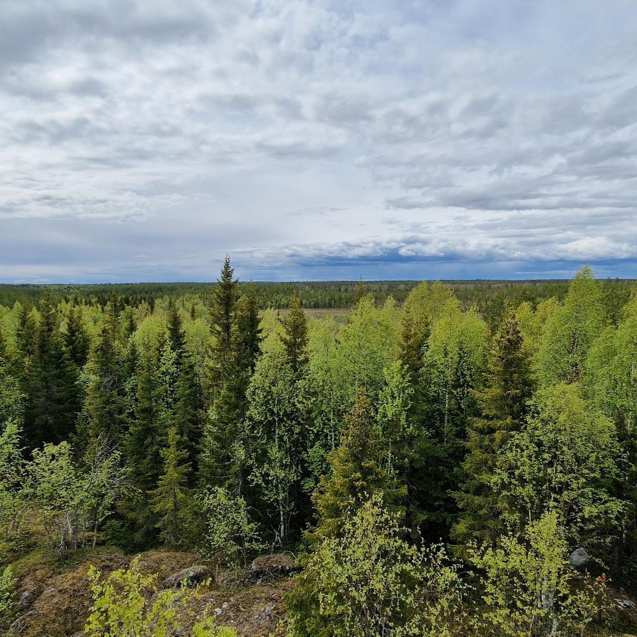
Road cycling routes in Haparanda kommun offer scenic views of river valleys, coastal stretches, and open agricultural landscapes. You'll often find yourself cycling alongside the Torne River and near the Baltic Sea, with opportunities to see scattered forests and waterways.
Are there any interesting landmarks or attractions to see along the road cycling routes?
Yes, there are several points of interest near the cycling routes. You might pass by the historic Tornio Church or the Orthodox Church of Saints Peter and Paul in Tornio. For a unique photo opportunity, look for the Haparanda–Tornio Border Heart Sculpture, symbolizing the cross-border connection.
Are there facilities like cafes or rest stops along the road cycling routes?
While specific cafes are not always directly on the routes, the towns and villages along the way, such as Haparanda and Tornio, offer various services including cafes, restaurants, and shops where you can refuel and rest. Planning your route with stops in these areas is recommended.
Is wild swimming possible near the road cycling trails in Haparanda kommun?
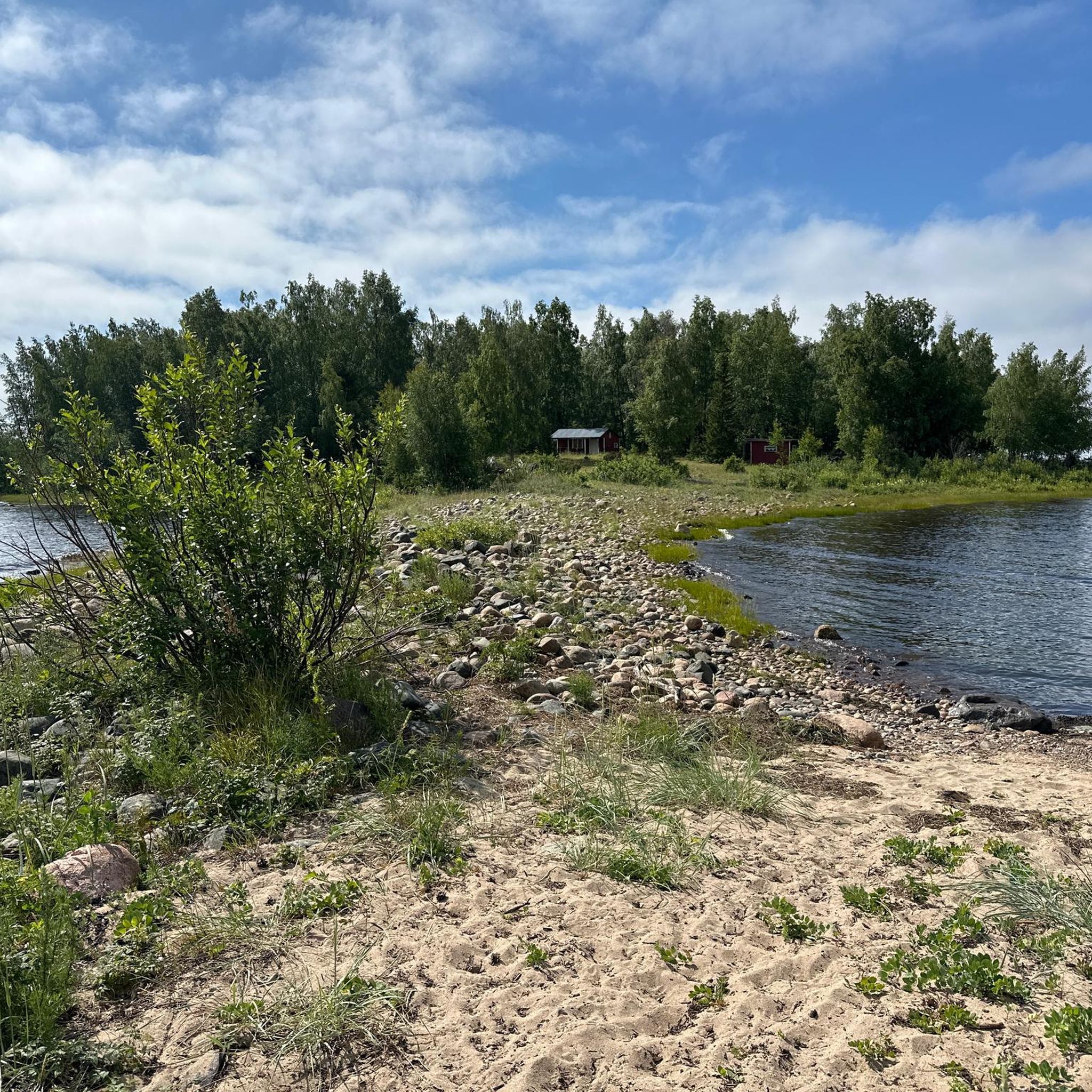
Given the region's proximity to the Baltic Sea and the Torne River, there are opportunities for wild swimming. You might find designated swimming areas or quiet spots along the waterways. For example, the Lakeside Shelter and Grill Area at Badestelle Haparanda offers facilities near the water.
How many road cycling routes are available in Haparanda kommun?
There are over 10 road cycling routes available in Haparanda kommun on komoot, catering to various skill levels from easy to moderate. These routes allow you to explore the diverse landscapes of the region.
What do other road cyclists enjoy most about cycling in Haparanda kommun?
Road cyclists often praise the region for its flat and consistent terrain, which is ideal for long-distance rides without significant climbs. The scenic views along riverbanks and coastal areas, combined with the quiet open landscapes, are frequently highlighted as enjoyable aspects of cycling here.
Most popular routes around Haparanda kommun
Most popular attractions around Haparanda kommun

Get inspired with the komoot mobile app


Explore more
Browse the best Road cycling routes in other regions.
