The best gravel rides around Antrain
4.5
(28)
301
riders
8
rides
Gravel biking around Antrain offers diverse terrain, from tranquil river valleys to dense forest tracks and rolling countryside. The region, part of Val-Couesnon, is characterized by its location at the confluence of the Couesnon and Loysance rivers, providing scenic routes along their banks. Extensive greenways, such as the Voie Verte VD3 and sections of La Régalante, utilize former railway lines, while the nearby Forêt de Villecartier provides natural forest tracks. Hilly landscapes in the wider Coglais area add more challenging…
Last updated: July 4, 2026
4.5
(17)
191
riders
77.6km
03:55
200m
200m
Moderate gravel ride. Good fitness required. Mostly paved surfaces. Suitable for all skill levels.
4.3
(3)
30
riders
56.3km
03:29
390m
390m
Moderate gravel ride. Good fitness required. Mostly paved surfaces. Suitable for all skill levels.

Sign up for free
4.8
(4)
66
riders
15.6km
00:44
20m
20m
Easy gravel ride. Great for any fitness level. Mostly paved surfaces. Suitable for all skill levels.
4.0
(1)
3
riders
47.4km
02:29
210m
210m
Moderate gravel ride. Good fitness required. Mostly paved surfaces. Suitable for all skill levels.
5.0
(3)
4
riders
Moderate gravel ride. Good fitness required. Mostly paved surfaces. Suitable for all skill levels.
Get access to more routes and recommendations from other explorers.
Sign up for free
Already have an account?
Our route recommendations are based on thousands of hikes, rides, and runs completed by other people on komoot.
Start today with a free account
Your next adventure awaits.
Login or Signup
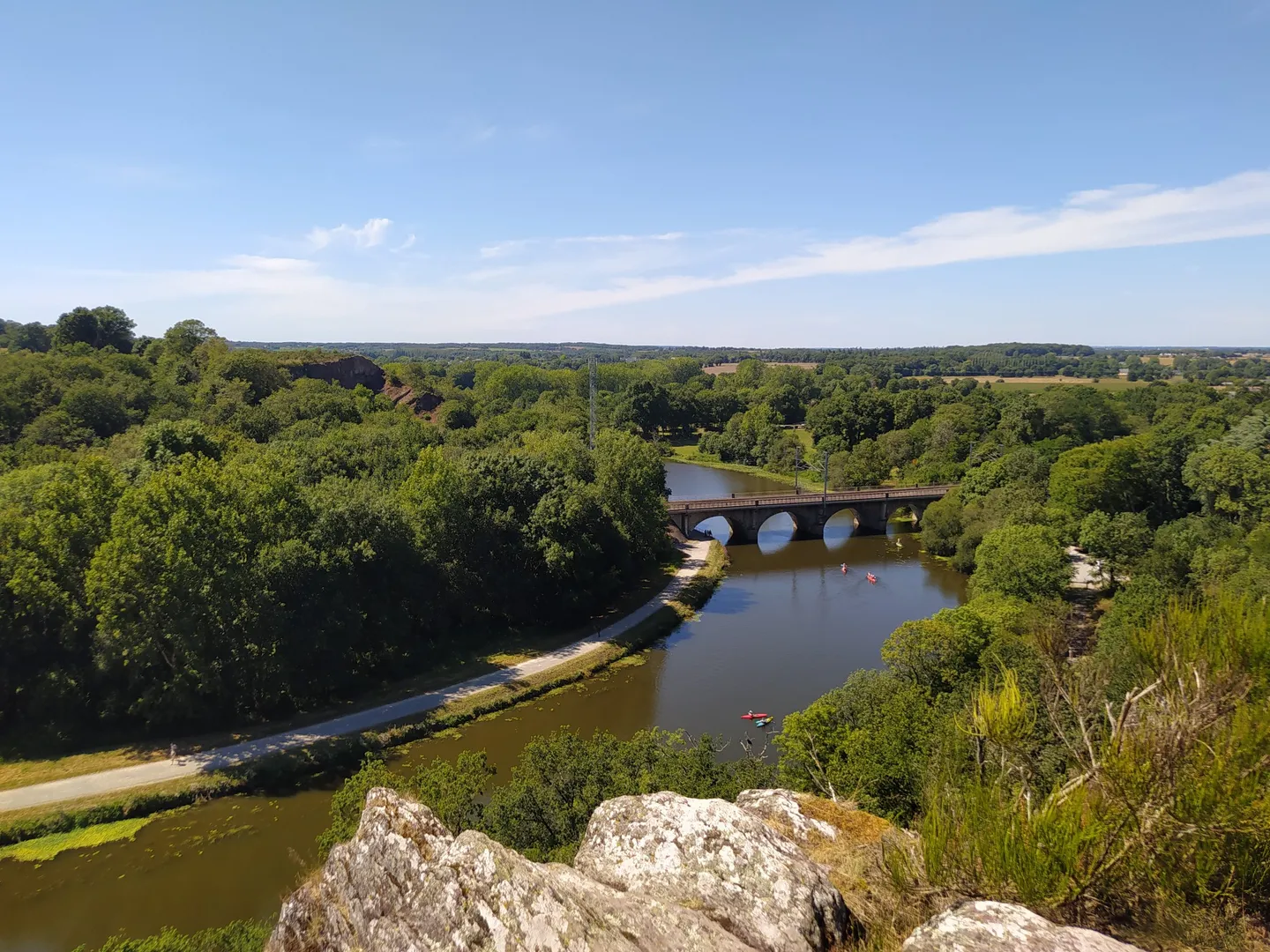



Other adventures around Antrain

Tips from the Community

From there it looks the strongest !!!
0
0

Practice for going to the train station
0
0

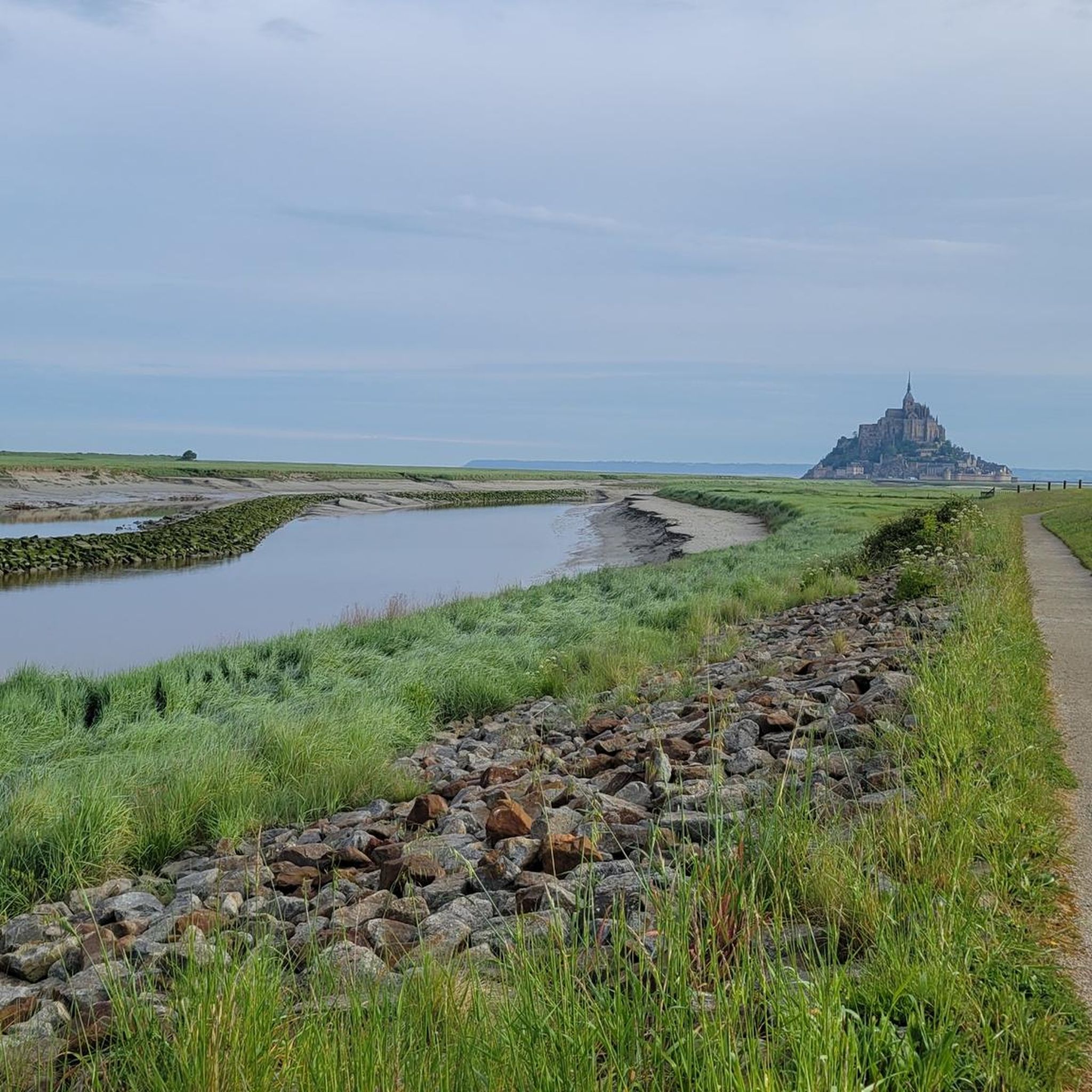
If there's a remarkable site that's worth a detour, it's Mont St Michel!
0
0

very nice cycle path in the shade
0
0

The Jardin Public is centrally located in the city and extends over several terraces offering sweeping views of the old town and the Château de Fougères. Created in 1865, the park combines features of an English landscape garden, French garden architecture, and botanical design.
1
0
The Église Saint-Léonard was built in the 12th century and acquired its present form in the flamboyant Gothic style in the 15th and 16th centuries. During the French Revolution, the church was deprived of its sacred function, but in the 19th century, under architects such as Aristide Tourneux, it underwent extensive renovations, including a new main façade with a large rose window. Inside, 19th-century stained-glass windows depicting episodes from the life of Saint Léonard can be seen.
1
0

The water we crossed was quite muddy, but that's just a side note.
1
0

This greenway between Mont Saint-Michel and Pontorson alternates between magnificent stretches with unobstructed views and shaded sections with bucolic charm. Away from road traffic, this section reveals the unique calm of nature.
0
0
Frequently Asked Questions
How many gravel bike trails are available around Antrain?
There are over 9 gravel bike trails around Antrain, offering a variety of experiences for different skill levels. You'll find everything from easy riverside paths to more challenging routes through hilly terrain.
What kind of terrain can I expect on gravel bike trails near Antrain?
Gravel biking around Antrain features diverse terrain, including tranquil river valleys along the Couesnon and Loysance rivers, dense forest tracks within areas like the Forêt de Villecartier, and rolling countryside. You'll also encounter extensive greenways, such as sections of the Voie Verte VD3 and La Régalante, which often utilize former railway lines.
Are there any easy gravel bike trails suitable for beginners or families in Antrain?
Yes, Antrain offers easy gravel bike trails perfect for beginners or families. An excellent option is The Couesnon at Beauvoir – Couesnon dike loop from Pontorson, which is about 15.6 km long and leads through the scenic Couesnon River valley, typically taking around an hour to complete.
What are some scenic highlights or landmarks I can see while gravel biking near Antrain?
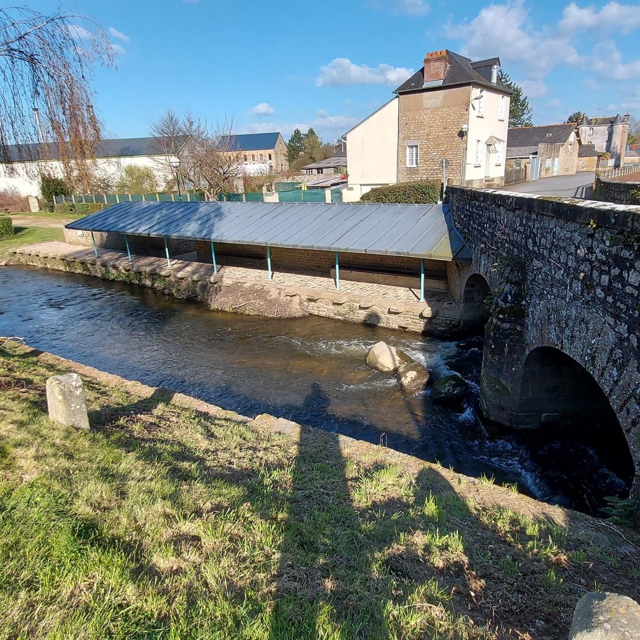
The region around Antrain is rich in natural beauty and historical sites. You can explore the Forêt domaniale de Villecartier for extensive forest tracks, or visit the historical Lavoir de la Loysance in Antrain. Many routes also offer expansive views towards the iconic Mont-Saint-Michel, particularly those closer to Pontorson.
Are there any longer, more challenging gravel routes for experienced riders?
For experienced gravel bikers seeking a longer challenge, consider the Moulin de la Saline – View of Cancale and Its Harbor loop from Pontorson-Mont-Saint-Michel. This moderate 77.6 km trail offers expansive views and follows river valleys, taking approximately 5 hours. Another option is the Saint Léonard Church – Fougères Castle loop from Val-Couesnon, a 63.1 km route connecting Antrain to Fougères through varied countryside.
What do other gravel bikers say about the trails in Antrain?
The gravel biking routes in Antrain are highly rated by the komoot community, with an average score of 4.6 stars from over 22 reviews. Riders often praise the diverse terrain, from tranquil river valleys to forest tracks, and the well-maintained greenways that make for enjoyable rides.
Are there any circular gravel routes available around Antrain?
Yes, many gravel routes around Antrain are designed as loops, allowing you to start and end in the same location. Examples include the Joli chemin – Très belle section loop from Pleine-Fougères and the Très belle section – Avenue near Pontorson loop from Pontorson-Mont-Saint-Michel, both offering scenic circular rides.
What is the best time of year to go gravel biking in Antrain?
The region's green spaces and preserved environment make it suitable for gravel biking through much of the year. Spring and autumn generally offer pleasant temperatures and vibrant scenery. While specific weather conditions can vary, the diverse terrain means there are usually options available even in cooler months, though some forest tracks might be muddier after rain.
Can I combine gravel biking with exploring local towns or attractions?
Absolutely. Antrain and its surroundings boast a rich rural heritage with historical towns and architectural patrimony. Routes often pass through or near charming villages, and you can easily integrate stops at local points of interest like the Lavoir de la Loysance in Antrain or the Notre-Dame de Pontorson church into your ride.
Are there options for gravel biking near Mont Saint-Michel from Antrain?
Yes, several routes in the area offer connections or views towards Mont Saint-Michel. The Greenway Between Pontorson and Mont Saint-Michel provides a direct path, and while it's a paved greenway, connecting paths or nearby sections can offer gravel opportunities. The Moulin de la Saline – View of Cancale and Its Harbor loop from Pontorson-Mont-Saint-Michel specifically offers expansive views towards the iconic landmark.
Most popular attractions around Antrain

Get inspired with the komoot mobile app


Explore more
Browse the best Gravel rides in other regions.
