The best walks and hikes around Saint-Gilles-Pligeaux
4.5
(36)
219
hikers
13
hikes
Hiking trails around Saint-Gilles-Pligeaux traverse the rural Breton countryside, characterized by a mix of wooded valleys, agricultural lands, and ancient paths. The region features "chemins creux" (holloways) and trails bordering fields and hamlets. Natural features include megalithic standing stones (menhirs) and riverine landscapes, such as the Gorges of Toul Goulic along the Blavet River. The terrain offers varied elevation, with routes leading through forests and elevated areas.
Best hiking trails around Saint-Gilles-Pligeaux
- The most popular hiking route is Corlay Castle…
Last updated: July 4, 2026
3.0
(2)
21
hikers
3.14km
00:49
20m
20m
Easy hike. Great for any fitness level. Easily-accessible paths. Suitable for all skill levels.
4.5
(2)
7
hikers
13.9km
03:48
210m
220m
Moderate hike. Good fitness required. Easily-accessible paths. Suitable for all skill levels.

Sign up for free
5.0
(1)
6
hikers
12.6km
03:26
190m
190m
Moderate hike. Good fitness required. Easily-accessible paths. Suitable for all skill levels.
5.0
(1)
6
hikers
10.8km
02:56
150m
140m
Moderate hike. Good fitness required. Easily-accessible paths. Suitable for all skill levels.
4.5
(2)
6
hikers
4.34km
01:12
70m
70m
Easy hike. Great for any fitness level. Easily-accessible paths. Suitable for all skill levels.
Get access to more routes and recommendations from other explorers.
Sign up for free
Already have an account?
Our route recommendations are based on thousands of hikes, rides, and runs completed by other people on komoot.
Start today with a free account
Your next adventure awaits.
Login or Signup


Tips from the Community

The Resistance Museum in Argoat introduces you to the Plésidy maquis and its daily life under the Occupation. Its exhibition tells you the story of the Second World War and the Resistance in the west of the Côtes d'Armor. The museum has a rich collection of period documents and objects as well as photos. As you enter, you will see a fairly old bicycle hanging on the wall, and its history is most exciting. It was given to the Museum by Fernand Trochel, cyclist and bike repairer on Guingamp during the Second World War. Fernand was a liaison agent for the maquis of Plésidy-Saint-Connan but also for the Shelburn network, a branch of the British secret services. Every day, he traveled nearly 150 kilometers, criss-crossing the department by bicycle. He was provided with a pass issued by the German authorities so that he could "officially" continue his cycling training. He took advantage of this cover to distribute mail, which he hid in his pedal box, to the various Resistance networks. If you want to learn more about his story, the museum offers his book for sale. Opening hours: Wednesday and Sunday from 2 p.m. to 6 p.m.
0
0
Built between the second half of the 12th century and the first half of the 13th century, this schist and granite castle was destroyed during the Hundred Years War and then rebuilt by Jean de Rohan from 1475 to 1493. The pond, located at north of the castle, fed the moats which are now filled in. From 1616, the site, which was already in very poor condition, was gradually abandoned for more than three centuries. It will take a buyout by the municipality to begin a vast revaluation of its ruins, and a rehabilitation of the buildings. I advise you to take the time to explore the remains of this castle with its typical architecture from the end of the 15th century, whose past splendor we can only imagine.
0
0
Frequently Asked Questions
What kind of terrain can I expect on hiking trails around Saint-Gilles-Pligeaux?
The region offers diverse terrain, characterized by rolling hills, lush greenery, and a mix of deciduous forests with oak, hornbeam, and beech. You'll find ancient geological formations, including areas with schists, granites, and sedimentary rocks, contributing to varied hiking experiences. Trails often traverse wooded valleys, agricultural lands, and ancient paths, including 'chemins creux' (holloways).
Are there any easy, family-friendly hiking options in Saint-Gilles-Pligeaux?
Yes, there are several easy routes suitable for families. For instance, the Corlay Castle and its pond loop from Corlay is a short 3.4 km (2.1 miles) trail that explores the area around the castle and its pond, taking about 53 minutes. Another easy option is the Bois du Faoudel loop from Saint-Nicolas-du-Pélem, which is 4.3 km (2.7 miles) long.
What natural features or landmarks can I see while hiking in the area?
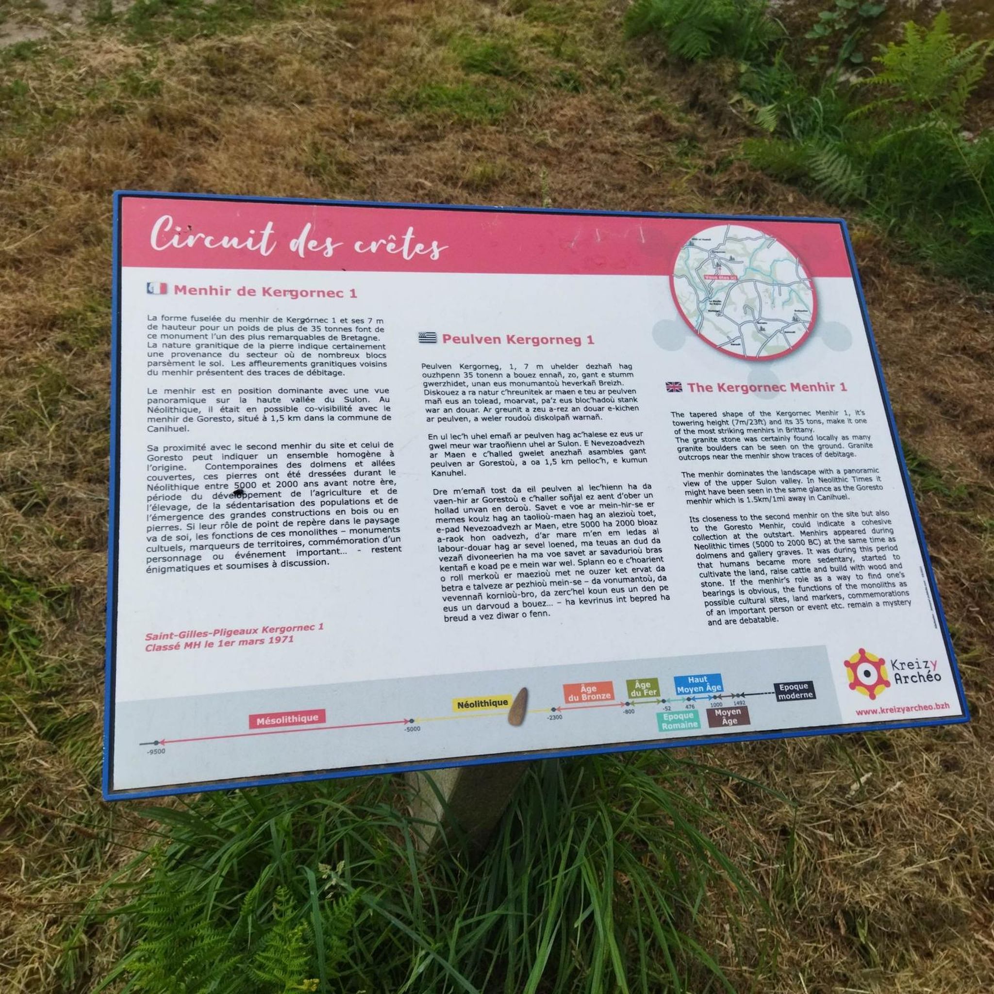
The landscape around Saint-Gilles-Pligeaux is rich with natural and historical features. You can encounter ancient megalithic structures like the Menhir of Kergornec and the two menhirs of Le Vieux-Bourg. The region also features riverine landscapes, such as the Gorges of Toul Goulic along the Blavet River, and the scenic Forest Trail along the Trieux. You might also spot the Avaugour Stream.
Are there any circular routes available for hikers?
Absolutely. Many trails in the region are designed as loops. For a moderate challenge, consider the Étang de Beaucours – Étang de Coz Salou loop from Saint-Nicolas-du-Pélem, which connects two picturesque ponds over 13.9 km (8.6 miles). Another popular loop is the Koad Rohan loop from Gwerginioù, a 12.6 km (7.8 miles) trail through wooded areas and rural paths.
What historical sites are near the hiking trails?
Beyond the ancient menhirs, you can explore historical sites like the Corlay Castle and its pond, a schist and granite castle with roots dating back to the 12th century. The Museum of the Resistance in Argoat also offers insight into local history during World War II.
What do other hikers say about the trails in Saint-Gilles-Pligeaux?
The hiking routes in Saint-Gilles-Pligeaux are highly rated by the komoot community, with an average score of 4.6 stars from over 25 reviews. Hikers often praise the varied scenery, the quiet wooded areas, and the well-maintained paths that offer a true taste of rural Brittany.
Are there any trails that offer views of water bodies or coastal areas?
While Saint-Gilles-Pligeaux is inland, the broader Côtes-d'Armor region is known for its beautiful coastline. You can find trails along the Trieux River, and the stunning Le Palus Beach is accessible by a shady road from Plouha, offering a coastal experience within reasonable distance.
What is the best season to go hiking in Saint-Gilles-Pligeaux?
The mild oceanic climate of Brittany allows for year-round access to walking trails. However, spring and autumn offer particularly pleasant conditions with vibrant foliage or blooming flowers, and comfortable temperatures for exploring the diverse landscapes.
Are there any longer, more challenging hikes available?
Yes, for those seeking a longer adventure, the Hiking loop from L'Étang Neuf is a moderate 10.8 km (6.7 miles) route with varied elevation, offering a good challenge and taking approximately 3 hours to complete.
Where can I find parking for trailheads in Saint-Gilles-Pligeaux?
Many of the marked hiking circuits in the municipality, particularly the 'red' and 'blue' routes, often start from the parking lot on Rue des Bruyères in the town center, providing convenient access to various trails.
Most popular routes around Saint-Gilles-Pligeaux
Most popular attractions around Saint-Gilles-Pligeaux

Get inspired with the komoot mobile app


Explore more
Browse the best Hikes in other regions.
