The best gravel rides around Saint-Marcouf
4.3
(3)
35
riders
5
rides
Gravel biking around Saint-Marcouf offers diverse terrain across the Manche department of Normandy, France. The region is characterized by a network of rural paths, farm roads, and forest trails, often leading to coastal views of the English Channel. While generally low-lying, the topography includes varied sections with some elevation changes, traversing landscapes such as marshes and bocage. This provides a mix of surfaces suitable for gravel cyclists.
Best gravel bike trails around Saint-Marcouf
- The most popular gravel bike trail is…
Last updated: July 4, 2026
4.3
(3)
13
riders
Moderate gravel ride. Good fitness required. Mostly paved surfaces. Suitable for all skill levels.
7
riders
50.0km
03:04
320m
320m
Moderate gravel ride. Good fitness required. Mostly paved surfaces. Suitable for all skill levels.

Sign up for free
8
riders
127km
06:34
670m
670m
Hard gravel ride. Very good fitness required. Mostly paved surfaces. Suitable for all skill levels.
3
riders
63.7km
03:27
490m
490m
Hard gravel ride. Very good fitness required. Mostly paved surfaces. Suitable for all skill levels.
4
riders
Moderate gravel ride. Good fitness required. Mostly paved surfaces. Suitable for all skill levels.
Our route recommendations are based on thousands of hikes, rides, and runs completed by other people on komoot.
Start today with a free account
Your next adventure awaits.
Login or Signup


Tips from the Community

It shines with a thousand lights with the sun, we see it from far away
0
0
To do at least once, on the Ev04 seaway
0
0
What a view, when you think they climbed that cliff.
0
0

We received a very warm welcome during our visit. This profusion of objects from a not-so-distant past may well inspire some nostalgia.
0
0


Beautiful and rugged beach, we were there at high tide
3
0

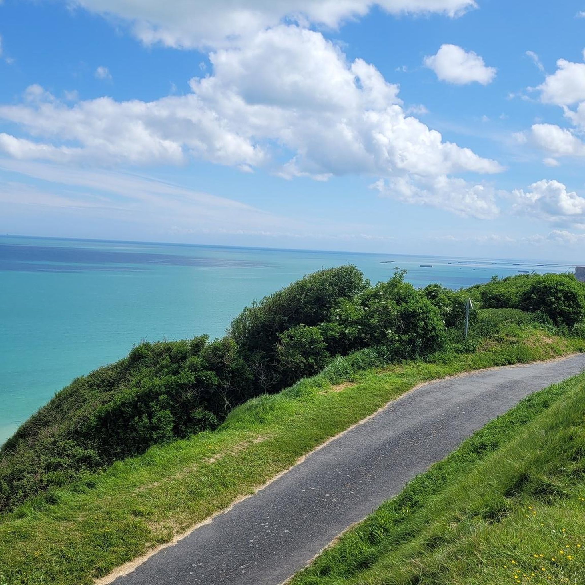
Dream view of the lookout point and the rocky outcrop in the sea.
6
0
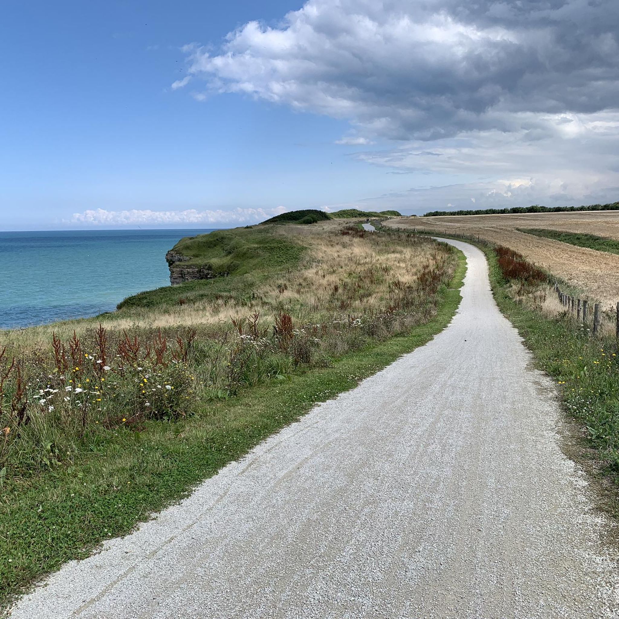
Beautiful gravel path directly along the edge of the cliffs.
8
0
Frequently Asked Questions
How many gravel bike trails are available around Saint-Marcouf?
There are 4 gravel bike trails documented around Saint-Marcouf on komoot, offering a range of experiences from moderate to difficult. These routes traverse diverse landscapes including coastal paths, rural agricultural areas, and the unique bocage.
What kind of terrain can I expect on gravel bike trails in Saint-Marcouf?
Gravel biking in Saint-Marcouf features a mix of terrain. You'll find coastal paths with expansive sea views, quiet rural roads through agricultural land, and routes through the distinctive bocage landscape characterized by hedgerows and sunken lanes. The area also includes paths through natural reserves like the Sangsurière and Adriennerie marshes, offering varied surfaces and modest elevation gains.
Are there any family-friendly gravel bike routes in the Saint-Marcouf area?
While specific 'family-friendly' routes aren't explicitly categorized, many trails in the region feature modest elevation gains, making them accessible. For a moderate option, consider The Vire Cycle Route – Towing Path loop from Saint-Jean-de-Daye, which follows river paths and rural tracks through the Norman countryside.
Can I bring my dog on the gravel bike trails near Saint-Marcouf?
Generally, dogs are permitted on public paths and trails in France, especially in rural areas, but it's always best to keep them on a leash, particularly near livestock or in protected natural areas like the marshes. Check local signage for any specific restrictions on individual routes or nature reserves.
What historical landmarks or attractions can I see while gravel biking?
The Saint-Marcouf region is rich in history, especially related to D-Day. Routes often pass by significant sites. For instance, the Gravel Route 'Libération' – View of Pointe du Hoc loop from Isigny-sur-Mer offers views towards D-Day landmarks. You can also integrate visits to sites like the Crisbecq Battery, the Fort of La Hougue, or historical churches and castles. Nearby attractions include the La Cambe German military cemetery and the Abbey of Cerisy-la-Forêt.
Are there any routes that offer coastal views or natural features?
Yes, Saint-Marcouf's coastal location means many routes offer stunning views of the English Channel. The generally low-lying terrain provides scenic rides along the coast. Additionally, routes through the Sangsurière and Adriennerie marshes allow you to cycle between peatlands and plains, showcasing diverse ecosystems and abundant bird species. The presence of the Îles Saint-Marcouf off the coast also adds to the scenic beauty.
What is the best time of year to go gravel biking in Saint-Marcouf?
The best time for gravel biking in Saint-Marcouf is typically from spring through early autumn (April to October). During these months, the weather is generally milder and more predictable, making for pleasant riding conditions. The coastal paths and rural tracks are usually dry and accessible. Winter can bring colder, wetter conditions, which might make some unpaved sections muddy.
Where can I find parking for gravel biking in Saint-Marcouf?
Parking is generally available in the villages and towns that serve as starting points for many routes. For example, if you're starting a route like the Gravel Route 'Libération' – View of Pointe du Hoc loop from Isigny-sur-Mer, you would typically find parking facilities in Isigny-sur-Mer. Similarly, starting points like Saint-Jean-de-Daye or Le Molay-Littry offer parking options. Always check local signage for specific parking regulations.
Are there any loop gravel bike routes available?
Yes, several routes are designed as loops, allowing you to start and finish in the same location. An example is the Gravel Route 'Libération' – View of Pointe du Hoc loop from Isigny-sur-Mer, which is a 31.0-mile (49.9 km) loop. Another is the The Vire Cycle Route – Towing Path loop from Saint-Jean-de-Daye.
What do other gravel bikers enjoy the most about gravel biking in Saint-Marcouf?
The area is highly rated by the komoot community, with an average score of 4.0 stars. Reviewers often praise the diverse terrain, which combines coastal scenery with tranquil rural agricultural paths and the unique bocage landscape. The historical context, with routes passing D-Day sites, also adds a unique dimension to the riding experience.
Are there any challenging gravel bike routes for experienced riders?
Yes, for more experienced riders seeking a challenge, there are difficult routes available. The Gravel Route 'Libération' – View of Pointe du Hoc loop from Lison is a difficult 78.7-mile (126.7 km) route with significant elevation gain, offering a longer and more demanding adventure through historical areas.
Most popular routes around Saint-Marcouf
Most popular attractions around Saint-Marcouf

Get inspired with the komoot mobile app


Explore more
Browse the best Gravel rides in other regions.
