The best running trails around Masbaraud-Mérignat
5.0
(3)
245
runners
57
runs
Jogging around Masbaraud-Mérignat offers routes through a landscape characterized by rolling hills, dense woodlands, and river valleys. The region features varied terrain, including paths alongside water features and through rural areas. Extensive forests and waterways provide a natural backdrop for physical activity, with many running routes traversing this environment. The area's authentic nature, featuring hilly terrain and rivers like the Thaurion, creates diverse conditions for runners.
Best jogging routes around Masbaraud-Mérignat
- The most popular jogging route is The Valley and its Fountains Trail, a 4.2 miles (6.7 km) trail that takes 1 hour to complete. This route explores a valley with natural water features.
- Another top favourite among local runners is Châtelus Bridge – Châtelus-le-Marcheix Beach loop from Châtelus-le-Marcheix, a difficult 6.7 miles (10.8 km) path. This route features significant elevation changes through varied terrain.
- Local runners also love the Running loop from Saint-Dizier-Leyrenne, a 6.0 miles (9.7 km) trail leading through rural landscapes, often completed in about 1 hour 6 minutes.
- Jogging around Masbaraud-Mérignat is defined by rolling hills, woodlands, and river valleys. The network offers options for various ability levels, from moderate paths to more challenging trails.
- The routes in Masbaraud-Mérignat are highly rated by the komoot community with an average score of 5.0 stars from over 3 reviews. More than 190 runners have used komoot to explore Masbaraud-Mérignat's varied terrain.
Last updated: July 4, 2026
5.0
(1)
22
runners
9.66km
01:07
100m
100m
Moderate run. Good fitness required. Mostly paved surfaces. Suitable for all skill levels.
2
runners
14.3km
01:43
290m
290m
Moderate run. Good fitness required. Mostly paved surfaces. Suitable for all skill levels.

Sign up for free
4
runners
7.77km
00:50
110m
110m
Moderate run. Good fitness required. Mostly paved surfaces. Suitable for all skill levels.
6
runners
9.71km
01:03
120m
120m
Moderate run. Good fitness required. Mostly paved surfaces. Suitable for all skill levels.
2
runners
6.85km
00:49
120m
110m
Moderate run. Good fitness required. Mostly paved surfaces. Suitable for all skill levels.
Get access to more routes and recommendations from other explorers.
Sign up for free
Already have an account?
Our route recommendations are based on thousands of hikes, rides, and runs completed by other people on komoot.
Start today with a free account
Your next adventure awaits.
Login or Signup
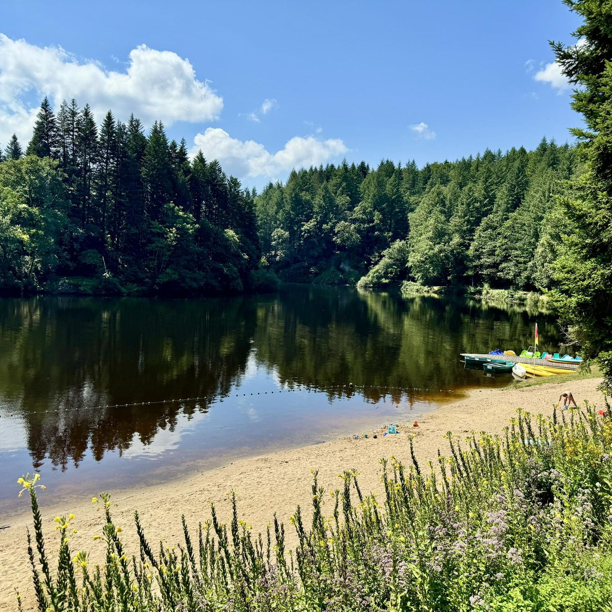
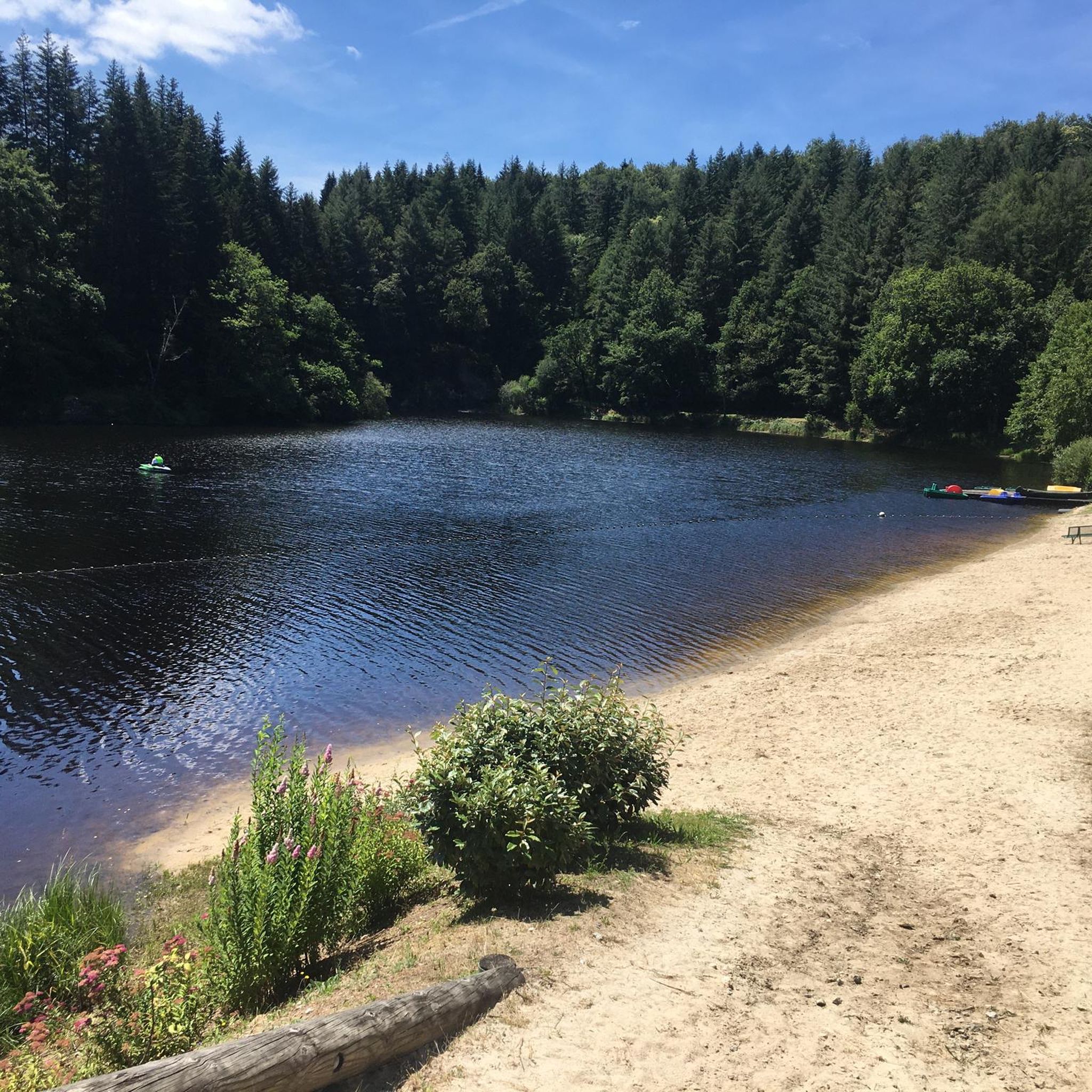
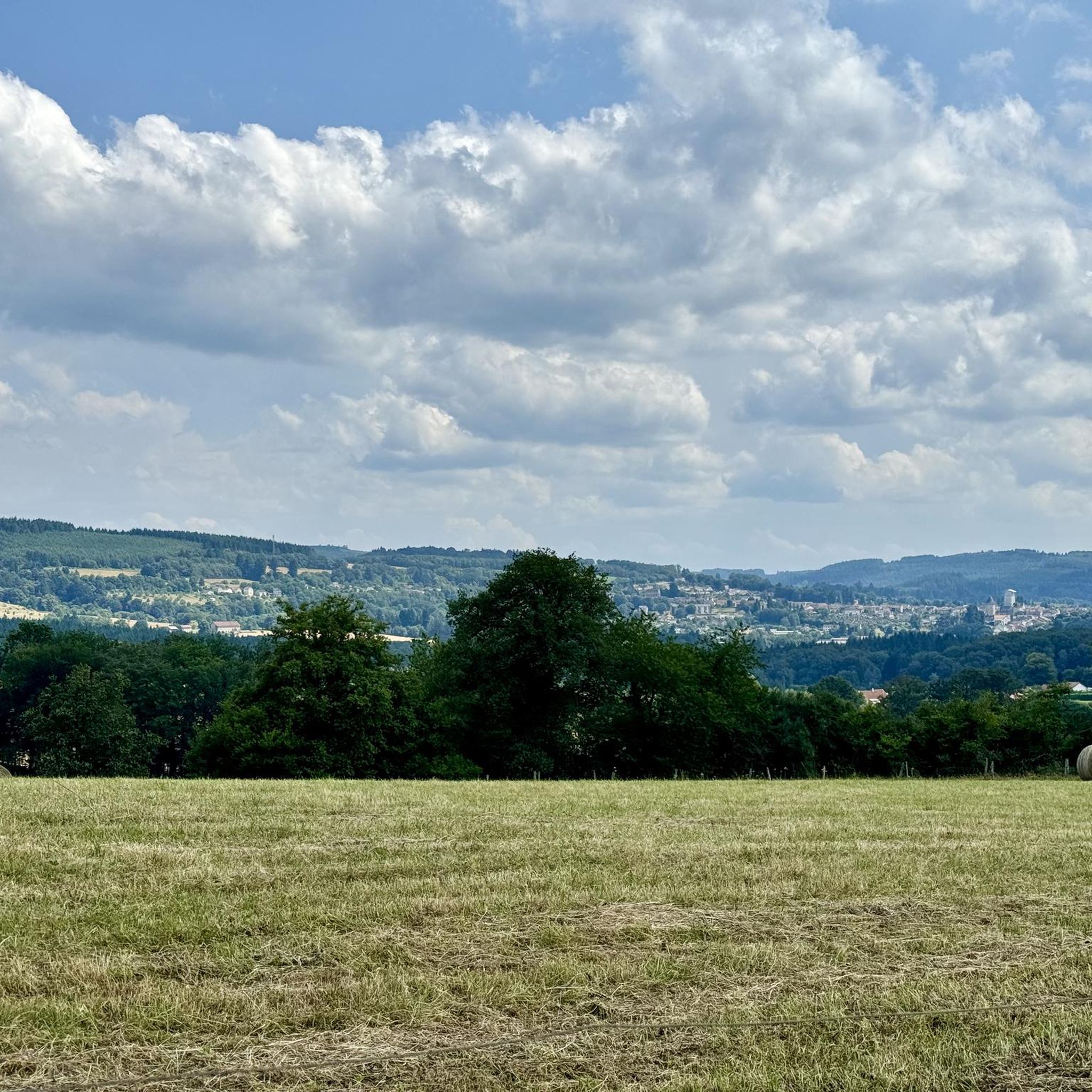

Tips from the Community

Bourganeuf is a small medieval town created by the Hospitallers. It is also the third city in France to have seen the appearance of electricity, hence its nickname the city of lights. The town even houses an electrification museum, in addition to its castle, its church and its characteristic Zizim tower.
0
0

Bourganeuf is a medieval town sometimes nicknamed "the city of light" because this small town was the third French town to have electricity. Bourganeuf is home to many historic buildings and monuments. The town hall also organizes guided tours of the city.
2
0
Frequently Asked Questions
How many running routes are available in Masbaraud-Mérignat?
There are over 50 dedicated running routes around Masbaraud-Mérignat, catering to various fitness levels. You'll find a mix of easy, moderate, and challenging trails to explore.
Are there any easy running trails suitable for beginners or families?
Yes, Masbaraud-Mérignat offers several easier routes. For instance, "The Valley and its Fountains Trail" is a moderate 4.2-mile (6.7 km) path that explores a valley with natural water features, suitable for those looking for a less strenuous run. While only one route is officially classified as easy, many moderate routes are also accessible for beginners.
What kind of terrain can I expect on the jogging routes in Masbaraud-Mérignat?
The region is characterized by rolling hills, dense woodlands, and river valleys. You can expect varied terrain, including paths alongside water features and through rural areas, offering a diverse running experience.
Are there any circular running routes in the area?
Many of the running routes around Masbaraud-Mérignat are designed as loops. For example, the Running loop from Saint-Dizier-Leyrenne is a 6.0-mile (9.7 km) trail that takes you through rural landscapes, offering a convenient circular option.
What are some interesting landmarks or attractions I can see while running?
Several routes pass by notable points of interest. You might encounter the historic Châtelus Bridge or the serene Châtelus-le-Marcheix Beach. The Scenic route in the Thaurion Valley also offers picturesque views.
Are the running trails in Masbaraud-Mérignat dog-friendly?
Generally, the natural trails and rural paths in Masbaraud-Mérignat are suitable for running with dogs, provided they are kept under control. Always check local signage for specific restrictions, especially in nature reserves or protected areas.
What do other runners say about the trails in Masbaraud-Mérignat?
The running routes in Masbaraud-Mérignat are highly rated by the komoot community, with an average score of 5.0 stars from over 3 reviews. Runners often praise the varied terrain and the natural beauty of the woodlands and river valleys.
How long do the running routes typically take to complete?
The duration varies significantly depending on the route and your pace. For instance, "The Valley and its Fountains Trail" (4.2 miles / 6.7 km) typically takes about 1 hour, while the more challenging Châtelus Bridge – Châtelus-le-Marcheix Beach loop from Châtelus-le-Marcheix (11.0 miles / 17.8 km) can take around 2 hours and 15 minutes.
Are there any challenging running routes for experienced runners?
Yes, for experienced runners seeking a challenge, there are several difficult routes. The Châtelus-le-Marcheix Beach loop from Châtelus-le-Marcheix, for example, is a difficult 14.3-mile (23.0 km) route with significant elevation changes, offering a demanding workout.
Is parking available near the trailheads?
Parking is generally available in or near the villages and starting points of many routes. It's advisable to check the specific route details on komoot for information on designated parking areas close to your chosen trailhead.
Can I find routes that offer opportunities for wildlife spotting?
Given the region's dense woodlands and river valleys, many routes provide excellent opportunities for wildlife observation. Keep an eye out for local birds and small mammals, especially during quieter times of the day.
What is the best time of year to go running in Masbaraud-Mérignat?
Spring and autumn generally offer the most pleasant conditions for running, with mild temperatures and beautiful scenery. Summer can be warm, so early morning or late afternoon runs are recommended. Winter running is possible, but trails may be muddy or icy, especially in shaded areas.
Most popular attractions around Masbaraud-Mérignat

Get inspired with the komoot mobile app


Explore more
Browse the best Running Trails & Routes in other regions.
