The best running trails around Saint-Gilles-Les-Forêts
3.8
(6)
149
runners
26
runs
Jogging routes Saint-Gilles-Les-Forêts are situated within the Haute-Vienne department of France, offering diverse landscapes for outdoor activity. The region is characterized by its position on the western edge of the Millevaches plateau and the northwestern Massif Central. Prominent features include Mont Gargan, which rises to 731 meters, providing panoramic views, and extensive forested areas. The terrain is generally hilly, offering varied running experiences through natural settings.
Best jogging routes around Saint-Gilles-Les-Forêts
- The most popular jogging route is Tour of Mont…
Last updated: July 2, 2026
1
runners
Moderate run. Good fitness required. Mostly paved surfaces. Suitable for all skill levels.
35
runners
12.1km
01:32
320m
320m
Hard run. Very good fitness required. Mostly paved surfaces. Suitable for all skill levels.

Sign up for free
13
runners
27.0km
03:25
690m
690m
Hard run. Very good fitness required. Mostly paved surfaces. Suitable for all skill levels.
8
runners
9.45km
01:02
180m
180m
Moderate run. Good fitness required. Mostly paved surfaces. Suitable for all skill levels.
7
runners
7.33km
00:48
150m
150m
Moderate run. Good fitness required. Mostly paved surfaces. Suitable for all skill levels.
Get access to more routes and recommendations from other explorers.
Sign up for free
Already have an account?
Our route recommendations are based on thousands of hikes, rides, and runs completed by other people on komoot.
Start today with a free account
Your next adventure awaits.
Login or Signup
Tips from the Community

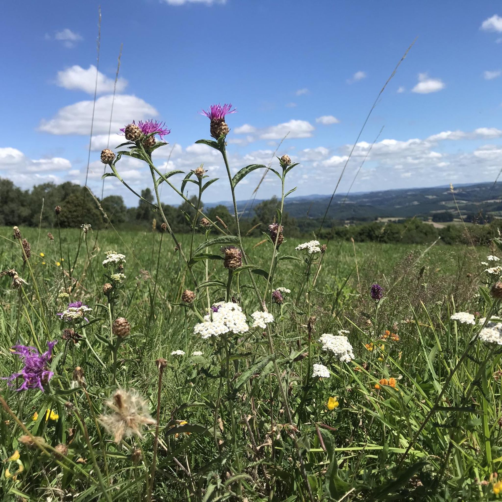
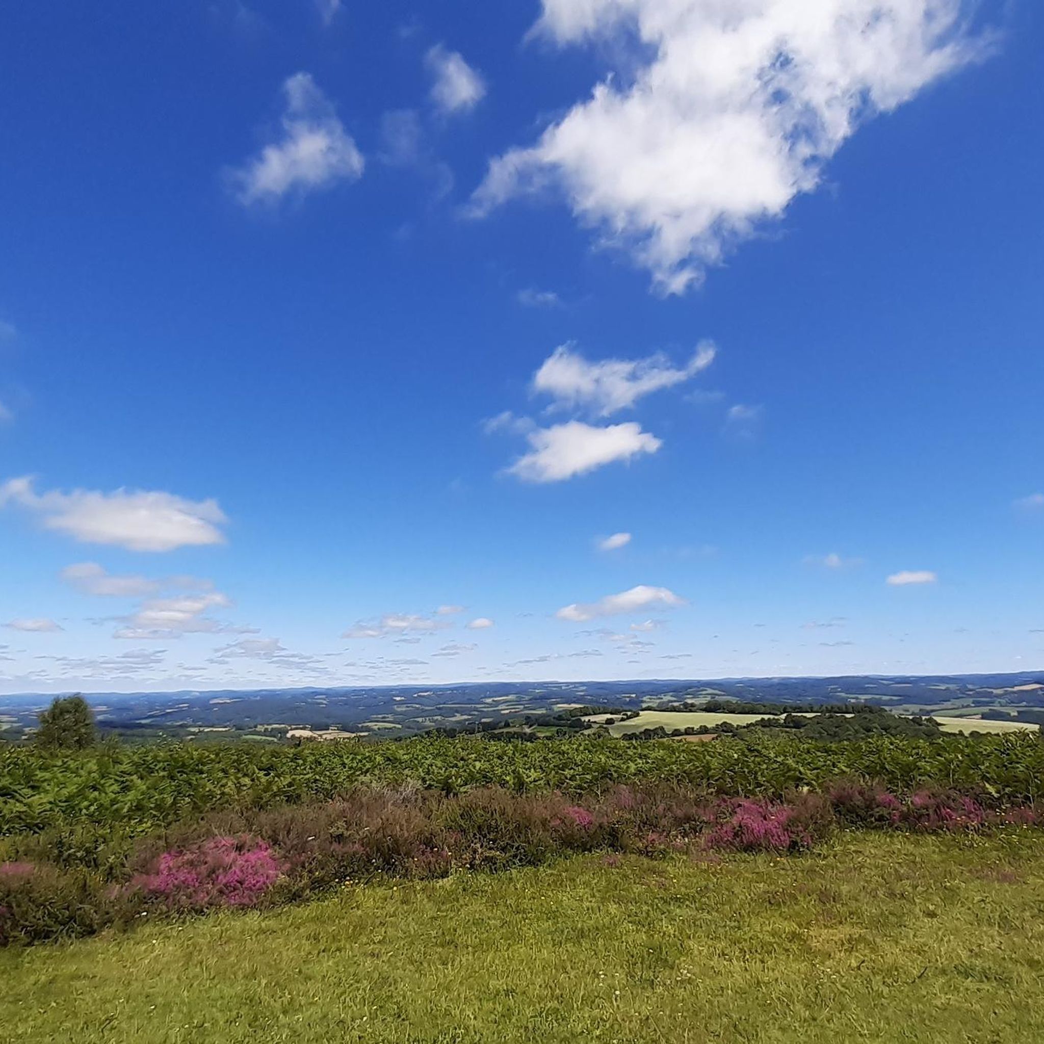
This tour is only possible when the weather is clear, as you will then have a breathtaking view.
0
0

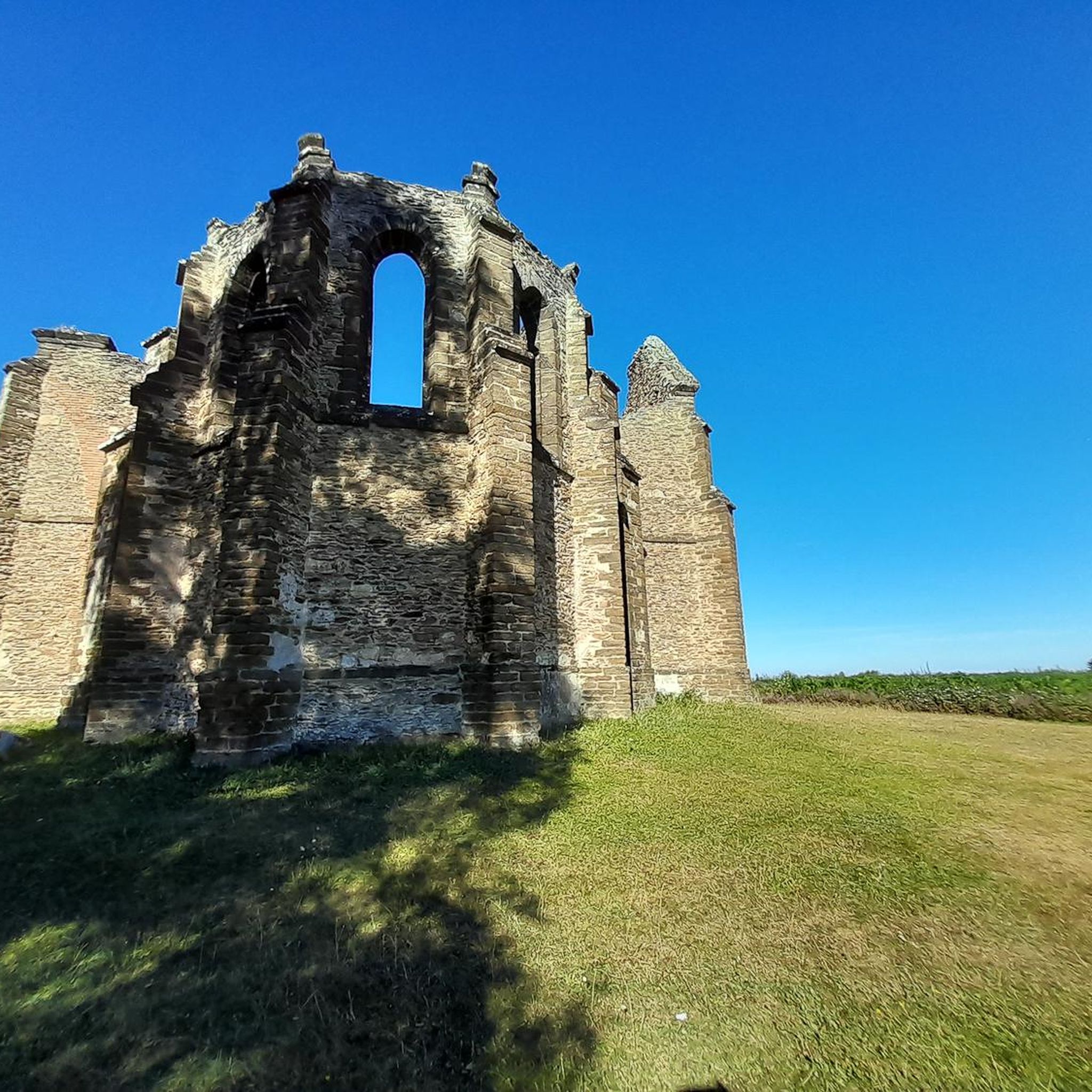
A 730m summit which offers you magnificent views all around on the other summits of Limousin. Perched at the top, you will also find the charming remains of the Mont Gargan chapel built in the 1860s.
2
0
A 730m summit which offers you magnificent views all around on the other summits of Limousin. Perched at the top, you will also find the charming remains of the Mont Gargan chapel built in the 1860s.
2
0

Located in the town of Saint-Gilles-Les-Forêt, highest point at 730m, it offers a 360° panorama with two orientation tables. Accessible from the car park below about 300m. You will pass through a magnificent alley of century-old beech trees with twisting branches. On the summit you can see the remains of the Notre Dame du Bon Secours Chapel. Chapel which suffered from the vandalism of walkers. Some legends, which die hard, still circulate about Gargantua, hence the name: Mont Gargan... https://fr.wikipedia.org/wiki/Mont_Gargan grandsudinsolite.fr/2833-87-haute-vienne-le-mont-gargan--its-heritage-and-its-legends.html cc-briance-combade.com/tourisme/lieux-de-visites/
0
1
Frequently Asked Questions
How many running routes are available in Saint-Gilles-Les-Forêts?
There are over 20 running routes around Saint-Gilles-Les-Forêts, offering a diverse range of experiences for runners. These routes are highly rated by the komoot community, with an average score of 4.5 stars.
Are there any easy running routes for beginners in the area?
While the guide primarily features moderate and difficult routes, the region's varied terrain means some sections of trails can be less demanding. For a moderate option, consider the Tour of Mont Gargan, which is about 3.8 miles (6.2 km) and offers beautiful views without extreme difficulty.
What kind of terrain can I expect on the running trails around Saint-Gilles-Les-Forêts?
The terrain is generally hilly and diverse, characterized by extensive forested areas and undulating landscapes. You'll find paths winding through forests, heather moors, and open countryside, especially around prominent features like Mont Gargan. The region is situated on the western edge of the Millevaches plateau and the northwestern Massif Central, ensuring a natural and varied running experience.
Are there any running loops that offer panoramic views?
Yes, the area around Mont Gargan is renowned for its panoramic views. The Tour of Mont Gargan specifically offers 360-degree views of the surrounding Limousin landscapes from its 731-meter peak.
Can I bring my dog on the running trails in Saint-Gilles-Les-Forêts?
Many natural trails in the Haute-Vienne department are dog-friendly, especially if dogs are kept on a leash. Given the rural and forested nature of Saint-Gilles-Les-Forêts, it's generally possible to run with your dog. However, always be mindful of local regulations, especially in protected areas or near livestock.
Are the running routes around Saint-Gilles-Les-Forêts suitable for families with children?
The region offers varied routes, and some are suitable for families. The Tour of Mont Gargan, for example, is a moderate trail that can be enjoyed by active families. Always check the distance and elevation gain of a specific route to ensure it matches your family's fitness level.
Where can I park my car when visiting the running trails?
Parking is generally available at trailheads or in the nearby villages such as Saint-Gilles-les-Forêts or Domps. For routes like the Tour of Mont Gargan, specific parking areas are usually designated near the Mont Gargan site. Look for signs in the vicinity of the starting points.
Is public transport available to reach the running routes?
Saint-Gilles-Les-Forêts is a rural commune, and public transport options might be limited. While local bus services may connect some villages, reaching specific trailheads often requires a car. It's advisable to check regional transport schedules in advance if you plan to rely on public transport.
What is the best time of year to go running in Saint-Gilles-Les-Forêts?
The spring and autumn months generally offer the most pleasant conditions for running, with mild temperatures and beautiful natural scenery. Summer can also be enjoyable, especially in the shaded forest areas, but be prepared for warmer weather. Winter running is possible, but trails might be wet or muddy, and higher elevations like Mont Gargan could experience colder conditions.
Are there any specific landmarks or natural features to look out for while running?
Absolutely! The most prominent landmark is Mont Gargan itself, offering stunning views. Along the Tour of Mont Gargan, you can also see the ruins of the Our Lady of Good Help chapel. The region is rich in forests and natural beauty, being part of the Millevaches Regional Natural Park, so you'll encounter diverse plant and animal life throughout your run.
What do other runners say about the trails in Saint-Gilles-Les-Forêts?
The running trails in Saint-Gilles-Les-Forêts are highly rated by the komoot community, with an average score of 4.5 stars from over 4 reviews. Runners often praise the varied terrain, the tranquility of the forested paths, and the rewarding views, particularly from Mont Gargan. The challenging nature of some routes is also frequently highlighted by those seeking a more intense workout.
Are there any challenging running routes for experienced runners?
Yes, for experienced runners seeking a challenge, Saint-Gilles-Les-Forêts offers several difficult routes. The Running loop from Saint-Gilles-les-Forêts is a difficult 7.5 miles (12.1 km) path with significant elevation gain, providing a demanding experience through the local landscape. Another option is the Mont-Cé loop from Chamberet, which is a longer and more strenuous 27.5 km route.
Where can I find refreshments or accommodation near the running trails?
While Saint-Gilles-Les-Forêts is a small commune, you can find cafes, pubs, and accommodation options in the surrounding villages and towns. Larger centers in the Haute-Vienne department will offer more choices for gîtes, chambres d'hôtes, and restaurants. It's recommended to check local listings for specific establishments in advance of your visit.
Most popular routes around Saint-Gilles-Les-Forêts

Get inspired with the komoot mobile app


Explore more
Browse the best Running Trails & Routes in other regions.
