The best mountain hikes around Øystre Slidre
5.0
(11)
60
hikers
8
hikes
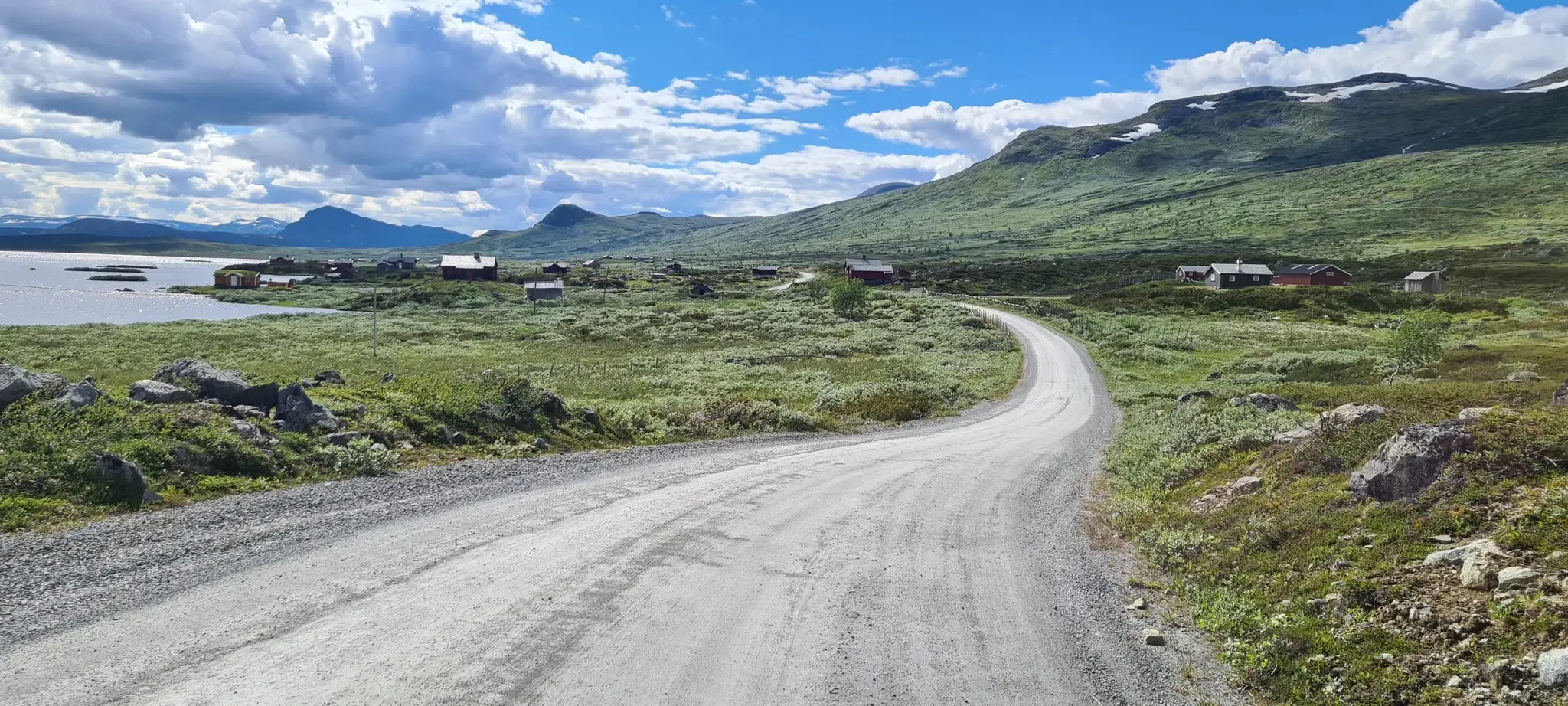
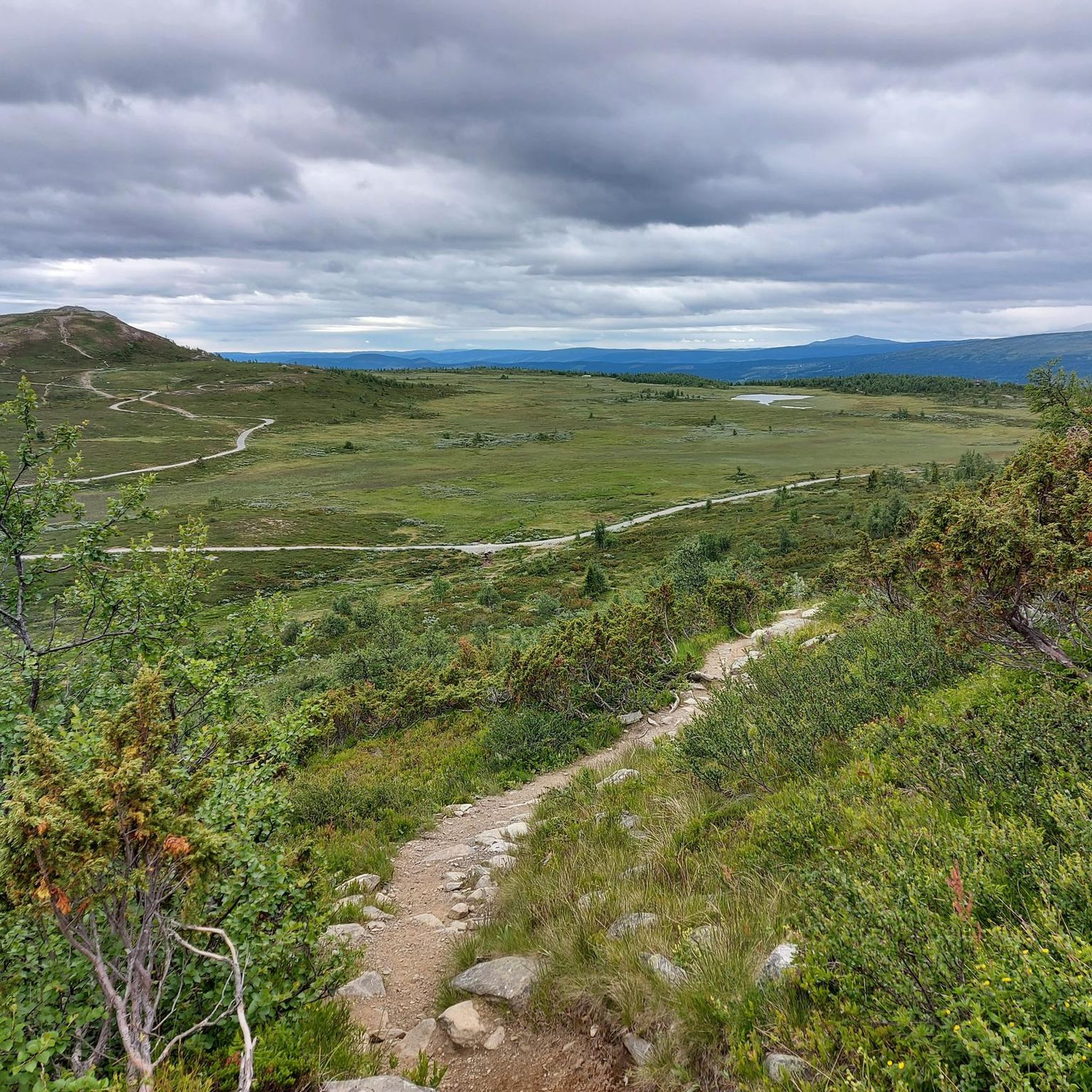
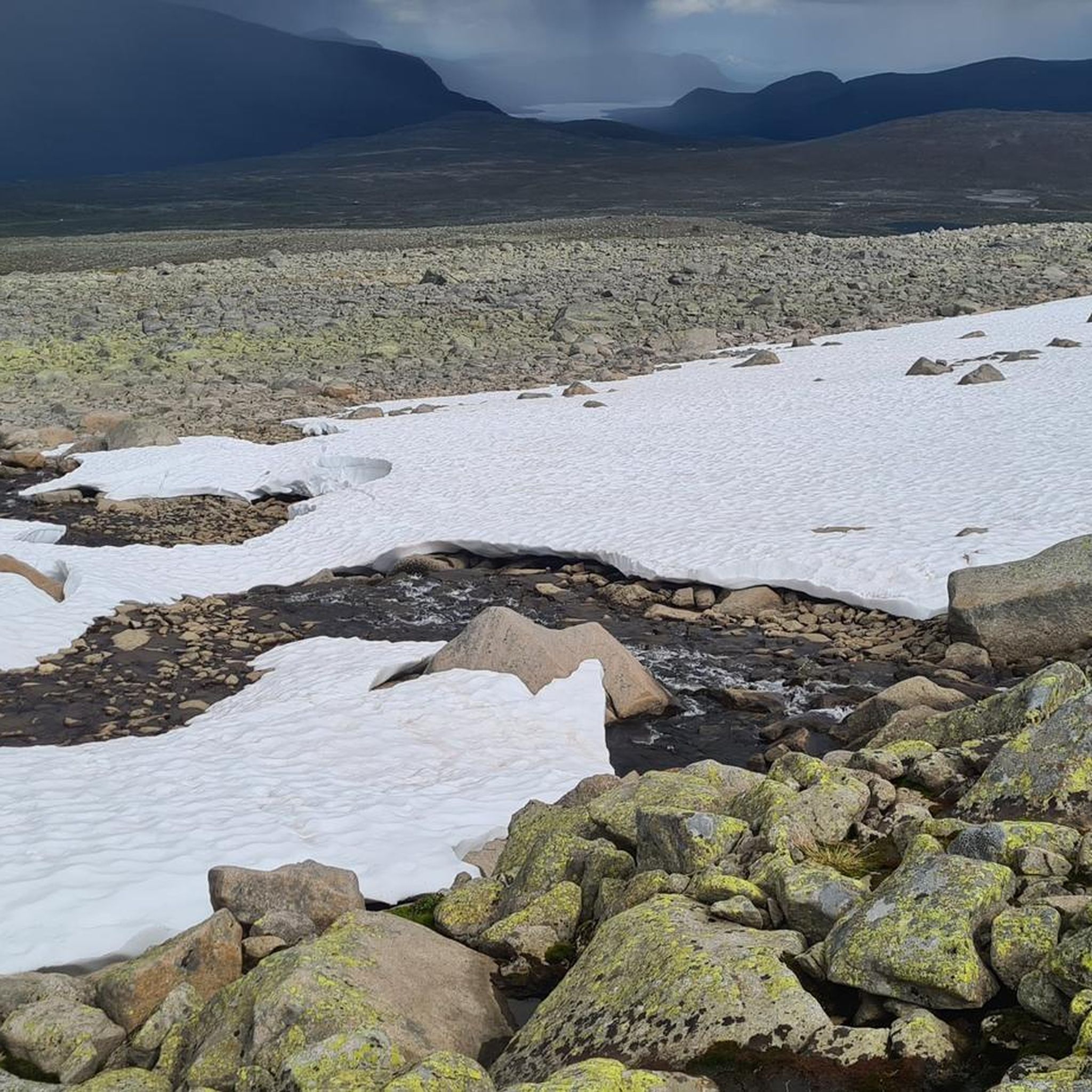
Mountaineering routes Øystre Slidre traverse a rugged, high-mountain landscape within Norway's traditional Valdres district. Approximately 73% of the land lies above 900 meters, with over 10% exceeding 1,300 meters, providing ample opportunities for high-altitude adventures. The region is characterized by significant peaks like Øystre Rasletinden and Bitihorn, and serves as a gateway to Jotunheimen and Langsua National Parks, offering diverse mountainous terrain.
Best mountaineering routes around Øystre Slidre
- The most popular mountaineering route is Veslfjellet Summit loop from Gjendesheim long-term parking, an 11.0 miles (17.8 km) trail that takes 7 hours 15 minutes to complete. This difficult route offers expansive views of the surrounding high-mountain landscape.
- Another top favourite among local mountaineers is Bitihorn loop from Stavtjernet, a difficult 4.4 miles (7.1 km) path. This route ascends the prominent Bitihorn mountain, providing rewarding panoramas towards Jotunheimen and Valdres.
- Local mountaineers also love the Waterfall Near Bessvatnet – Bessvatnet loop from Gjendesheimkrysset, a 9.9 miles (16.0 km) trail leading through the scenic area near Bessvatnet, often completed in about 5 hours 33 minutes.
- Mountaineering around Øystre Slidre is defined by its rugged, high-mountain landscape, the majestic peaks of the Jotunheimen mountain area, and the unique low-mountain terrain of Langsua National Park. The network offers options for different ability levels, from moderate ascents to challenging alpine experiences.
- The routes in Øystre Slidre are highly rated by the komoot community with an average score of 5.0 stars from over 11 reviews. More than 56 mountaineers have used komoot to explore Øystre Slidre's varied terrain.
Last updated: August 22, 2026
5.0
(3)
22
hikers
14.4km
06:13
810m
810m
Hard mountaineering route. Very good fitness required. Mostly accessible paths. Sure-footedness required.
5.0
(2)
10
hikers
7.14km
03:31
520m
520m
Hard mountaineering route. Good fitness required. Sure-footedness, sturdy shoes and alpine experience required.

Sign up for free
5.0
(2)
5
hikers
14.2km
04:51
570m
570m
Moderate mountaineering route. Good fitness required. Mostly accessible paths. Sure-footedness required.
5.0
(2)
5
hikers
10.2km
03:43
490m
490m
Moderate mountaineering route. Good fitness required. Mostly accessible paths. Sure-footedness required.
5.0
(1)
7
hikers
4.67km
02:36
420m
420m
Hard mountaineering route. Good fitness required. Sure-footedness, sturdy shoes and alpine experience required.
Get access to more routes and recommendations from other explorers.
Sign up for free
Already have an account?
Our route recommendations are based on thousands of hikes, rides, and runs completed by other people on komoot.
Start today with a free account
Your next adventure awaits.
Login or Signup
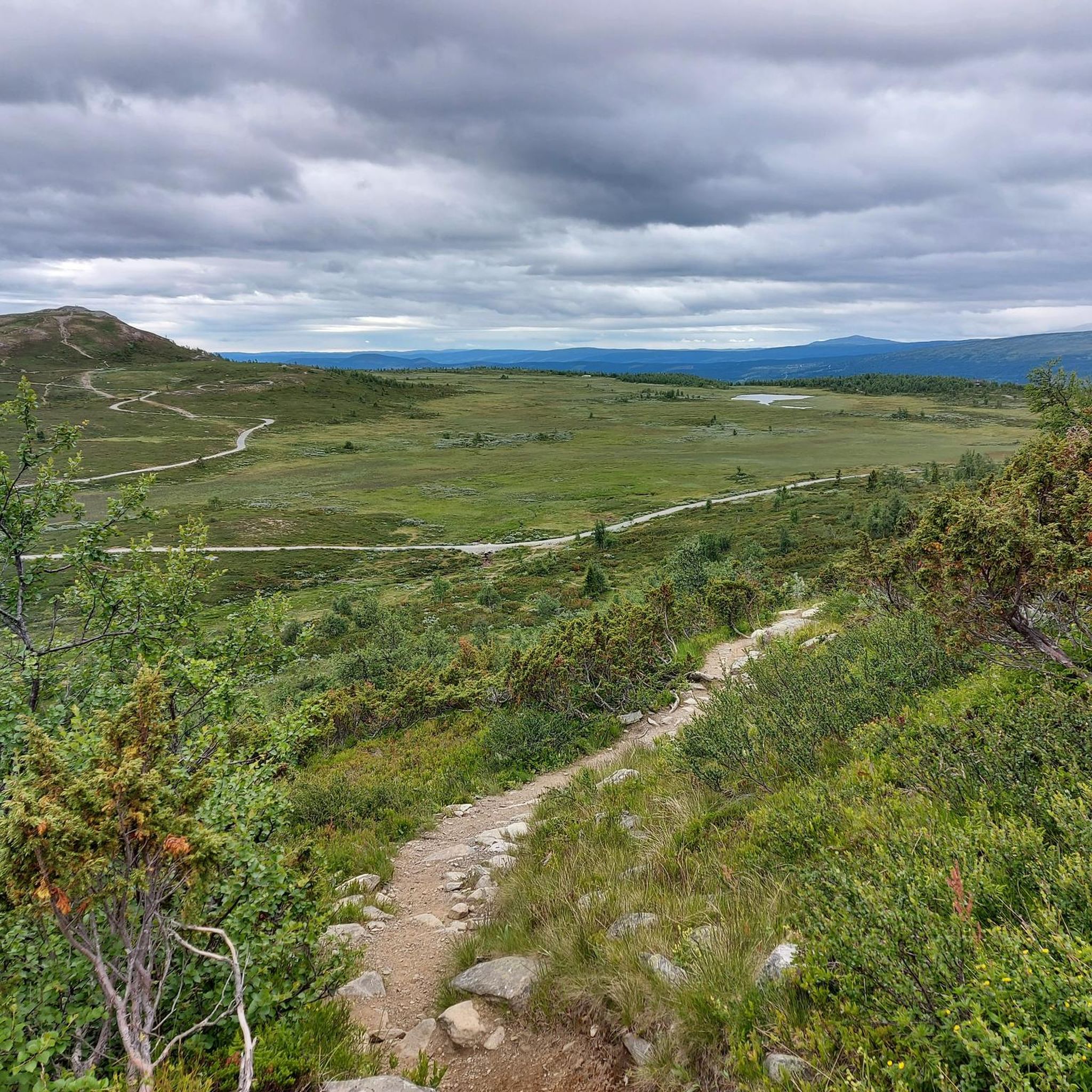
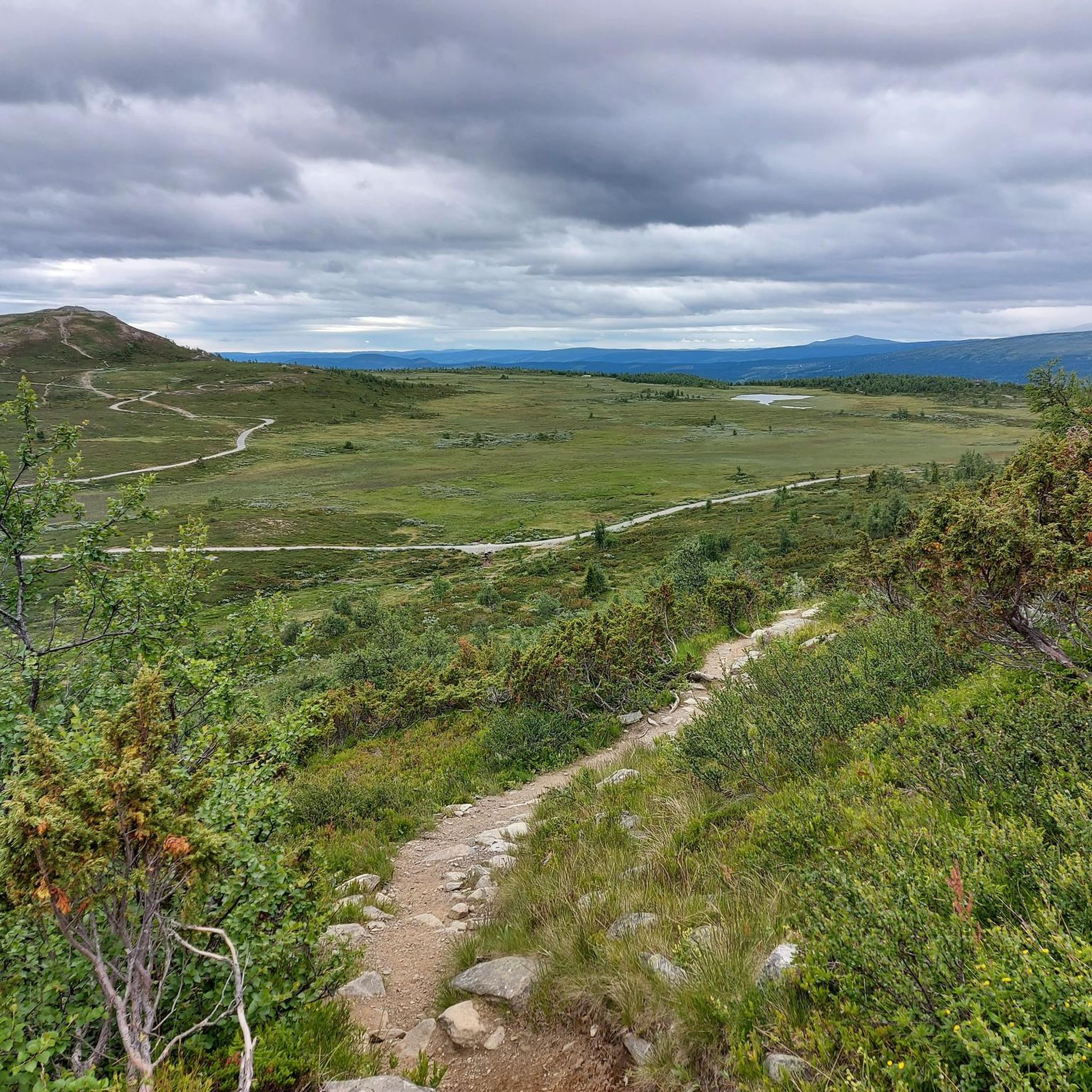

Other adventures around Øystre Slidre

Tips from the Community

From the wooden bridge that crosses the stream, you can admire both the crystal-clear color of the torrent's waters and its power. A stop like an entrance into the wild world.
0
0


A very beautiful, multi-tiered waterfall. Definitely worth a visit.
0
0

A fantastic mountain with a 360-degree view. The path to the north is easy and, because it's steeper, easier on the descent (easy on the knees). I would recommend ascending via the newly constructed path with steps from the south. However, there are some very exposed sections. It's not safe in wet conditions or even snow/ice.
1
1

Café Gjendeosen enjoys an enviable spot by the ferry terminal looking across Gjende lake. It's a nice place to grab a drink before taking the ferry. A coffee here tastes even better if you've just completed the Besseggen Ridge, a Norwegian classic!
0
0
At 5,718 feet (1,743 m), Veslfjellet is the highest point on the famous Besseggen Ridge. In contrast to some of the narrower sections on the route, the summit is relatively broad but the views are still spectacular.
0
0


Great view, water resupply and a nice place to spend the night
0
1
Frequently Asked Questions
What kind of mountaineering routes can I expect in Øystre Slidre?
Øystre Slidre offers a diverse range of mountaineering experiences, from moderate ascents to challenging alpine routes. The region is characterized by its rugged, high-mountain landscape, with approximately 73% of the land above 900 meters. You'll find routes leading to prominent peaks like Bitihorn and through scenic areas near lakes and national parks.
Are there any circular mountaineering routes in Øystre Slidre?
Yes, many of the mountaineering routes in Øystre Slidre are circular, allowing you to start and end at the same point. For example, you could try the difficult Veslfjellet Summit loop from Gjendesheim long-term parking, which is 17.8 km long, or the shorter, moderate Waterfall Near Bessvatnet – Bessvatnet loop from Bessa minikraftverk at 10.2 km.
What are the difficulty levels of mountaineering routes in Øystre Slidre?
The routes in Øystre Slidre cater to various skill levels. Out of the 8 available mountaineering routes, 3 are classified as moderate, and 5 are considered difficult. Difficult routes often involve significant elevation gain and require good fitness and sure-footedness, while moderate options provide a less strenuous but still rewarding experience.
Are there any routes that feature waterfalls or lakes?
Absolutely. The region is rich in natural beauty, including stunning lakes and waterfalls. You can explore routes like the Waterfall Near Bessvatnet – Bessvatnet loop from Gjendesheimkrysset, which takes you through a scenic area near Bessvatnet. This lake is known for its deep blue waters and is separated from Lake Gjende by a narrow ridge, offering spectacular views.
What kind of views can I expect on these mountaineering routes?
Mountaineering in Øystre Slidre offers breathtaking panoramic views. Many routes ascend significant peaks like Bitihorn, providing expansive vistas towards Jotunheimen National Park and the wider Valdres region. You'll often see rugged high-mountain landscapes, pristine lakes, and the unique low-mountain terrain of Langsua National Park.
What do other mountaineers say about the routes in Øystre Slidre?
The mountaineering routes in Øystre Slidre are highly regarded by the komoot community, with an average rating of 5.0 stars from over 11 reviews. Mountaineers often praise the challenging yet rewarding ascents, the stunning high-mountain scenery, and the well-maintained trails that lead to spectacular viewpoints.
Are there any family-friendly mountaineering options in Øystre Slidre?
While many routes are challenging, Øystre Slidre also offers options suitable for families looking for a mountain experience. Langsua National Park, which extends into the area, is known for its 'friendly mountain terrain' and offers numerous hiking opportunities. For specific family-friendly mountaineering, look for routes classified as moderate, which typically have less extreme elevation changes and shorter distances.
Can I bring my dog on the mountaineering trails in Øystre Slidre?
Generally, dogs are welcome on hiking trails in Norway, but specific rules may apply, especially within national parks like Jotunheimen and Langsua. It's always best to check local regulations regarding leash requirements and restricted areas, particularly during lambing season or in areas with grazing animals. Ensure your dog is well-behaved and able to handle the terrain.
What are some notable landmarks or points of interest along the mountaineering routes?
Beyond the stunning natural landscapes, you'll find several points of interest. Along routes near Bessvatnet, you might encounter the Memurubu ferry or the Memurubu Hut. There are also incredible viewpoints like the View of Gjende and Bessvatnet Lakes, offering iconic perspectives of the region's majestic scenery.
What is the best time of year for mountaineering in Øystre Slidre?
The best time for mountaineering in Øystre Slidre is typically during the summer months, from late June to early September, when the trails are generally free of snow and the weather is most stable. Outside of this period, conditions can be challenging, with snow, ice, and rapidly changing weather, requiring more specialized equipment and experience.
Are there any routes that offer a good challenge for experienced mountaineers?
Experienced mountaineers will find plenty of challenging options. Routes like the Bitihorn loop from Stavtjernet or the Bitihorn loop from Båtskaret sør offer significant elevation gain and rewarding summits. The region's high-mountain terrain, including access to parts of Jotunheimen National Park, provides ample opportunities for demanding alpine experiences.
How many mountaineering routes are available in Øystre Slidre?
There are 8 distinct mountaineering routes available in Øystre Slidre, offering a variety of distances and difficulty levels to explore the region's stunning mountain landscapes.
Most popular routes around Øystre Slidre
Most popular attractions around Øystre Slidre

Get inspired with the komoot mobile app


Explore more
Browse the best Mountain Hikes & Routes in other regions.
