The best road cycling routes around Grong
38
riders
5
rides
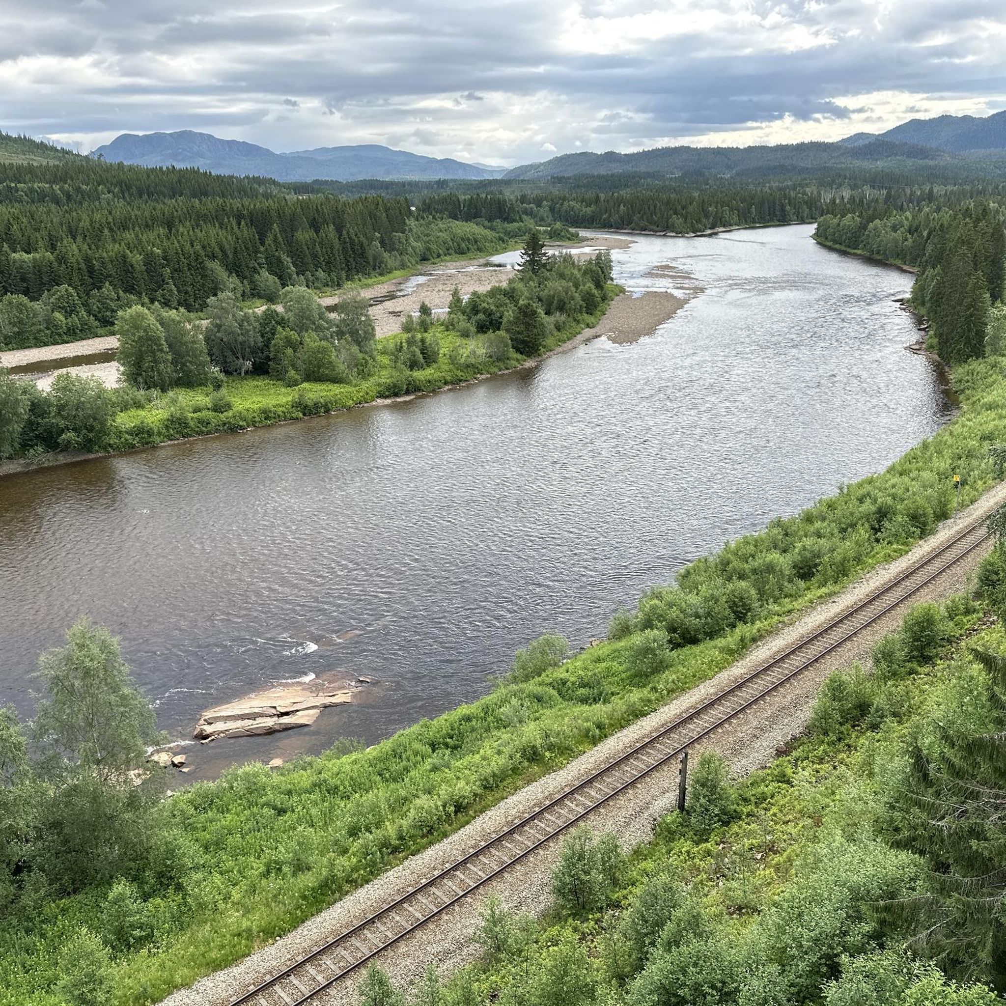
Road cycling around Grong offers diverse terrain characterized by the Namdalen valley, the Namsen river, and extensive spruce-filled forests. The region features a significant hilly landscape with varied elevation changes, providing opportunities for both challenging climbs and scenic descents. Cyclists can expect routes that traverse open areas with high grasslands and follow the winding paths alongside rivers. This combination of waterways, valleys, and hills makes Grong a compelling location for road cycling routes.
Best road cycling routes around Grong
- The…
Last updated: June 29, 2026
11
riders
79.9km
03:21
600m
600m
Moderate road ride. Good fitness required. Mostly well-paved surfaces and easy to ride.
10
riders
Moderate road ride. Good fitness required. Mostly well-paved surfaces and easy to ride.

Sign up for free
5
riders
64.9km
02:54
660m
660m
Moderate road ride. Good fitness required. Mostly well-paved surfaces and easy to ride.
2
riders
102km
04:47
1,130m
1,130m
Hard road ride. Very good fitness required. Mostly well-paved surfaces and easy to ride.
Our route recommendations are based on thousands of hikes, rides, and runs completed by other people on komoot.
Start today with a free account
Your next adventure awaits.
Login or Signup
Popular around Grong
Tips from the Community

Trones Church in Namsskogan, Trøndelag, is a wooden long church dating back to 1832, serving as the main church for the local parish. It underwent a significant renovation in 1910, which shaped its current appearance. Inside, notable features include an altarpiece depicting "Jesus in Gethsemane," a wooden pulpit and baptismal font from the renovation, and a pipe organ installed in 1985. Following a major restoration, the church reopened in 1980 and is adorned with tapestries from that time, continuing to be a central part of the Trones community.
0
0
From this point you can see the river and its lively fresh waters running into Namsen.
0
0
Frequently Asked Questions
How many road cycling routes are available around Grong?
There are 5 road cycling routes available around Grong, offering a range of experiences from moderate to difficult. These routes showcase the diverse terrain of the Namdalen valley, the Namsen river, and extensive spruce-filled forests.
What kind of terrain can I expect when road cycling in Grong?
Grong offers a significant hilly landscape with varied elevation changes, providing opportunities for both challenging climbs and scenic descents. You can expect routes that traverse open areas with high grasslands, wind through spruce-filled forests, and follow the paths alongside rivers like the Namsen.
Are there any challenging road cycling routes in Grong?
Yes, Grong features routes with significant elevation gains. For instance, the Storskorovatnet – Tronestjønna loop from Holmen is classified as difficult, covering over 100 km with more than 1100 meters of elevation gain, making it suitable for experienced cyclists seeking a demanding ride.
What natural landmarks can I see along road cycling routes in Grong?
Grong's routes often feature impressive natural landmarks. You can encounter the dramatic Formofossen Waterfall, where the Sandøla river plunges into a narrow gorge, or the Fiskumfoss Waterfall, known for Northern Europe's longest salmon staircase. The Namsen river itself is a prominent natural feature, offering picturesque views along its banks.
Are there historical or cultural sights to visit while cycling in Grong?
Yes, you can incorporate historical and cultural stops into your cycling journey. The historic Gløshaug Church from 1689, perched high above the Namsen valley, offers superb panoramic views. Additionally, sites like the Rognsmoen Burial Grounds with Iron Age grave mounds and the ancient Værumsfeltet ring settlement provide glimpses into the region's past.
Are there any circular road cycling routes in Grong?
Many of the road cycling routes in Grong are designed as loops, allowing you to start and end at the same point. Examples include the Storskogan naturreservat loop from Bergsmoen and the Otertjønna – Brynntjønna loop from Holandsøy, which offer varied scenery and return you to your starting location.
What is the best time of year for road cycling in Grong?
The best time for road cycling in Grong is typically during the warmer months, from late spring through early autumn. During this period, the weather is more favorable, and the natural landscapes, including rivers, forests, and high grasslands, are at their most vibrant. This allows for comfortable riding conditions and full enjoyment of the scenic routes.
Are there family-friendly road cycling options in Grong?
While the listed routes are generally moderate to difficult, the region's diverse terrain along the Namsen river and through valleys offers potential for less strenuous rides. For families, it's advisable to look for flatter sections along riverbanks or within the valleys, which may provide gentler cycling experiences away from the more challenging hilly landscapes.
Where can I find parking for road cycling routes in Grong?
Specific parking information for each route may vary, but Grong, as an outdoor adventure destination, generally offers accessible parking near popular starting points for trails and attractions. For routes that begin from specific towns or villages, local parking facilities are usually available. It's recommended to check local signage upon arrival.
Is public transport available for cyclists in the Grong region?
The Nordlandsbanen railway traverses the Namdalen valley through Grong, which may offer options for transporting bicycles. However, specific policies for carrying bikes on public transport can vary. It's advisable to check with the local public transport providers for their current regulations and availability for cyclists.
Are there places to eat or stay that are cyclist-friendly in Grong?
Grong, being an 'inland adventurer' destination, has facilities catering to outdoor enthusiasts. While specific cyclist-friendly accommodations or cafes are not detailed, you can expect to find local cafes, pubs, and accommodation options in the main areas of Grong that are accustomed to visitors exploring the outdoors. It's always a good idea to inquire about bike storage or specific services when booking.
What makes Grong a unique destination for road cycling?
Grong stands out for its unique combination of significant waterways like the Namsen river, diverse topography ranging from valleys to hilly and mountainous areas, and rich spruce-filled forests. This creates a varied and scenic backdrop for road cycling, offering routes that combine natural beauty with opportunities for both challenging climbs and serene rides.
Most popular routes around Grong
Most popular attractions around Grong

Get inspired with the komoot mobile app


Explore more
Browse the best Road cycling routes in other regions.
