The best walks and hikes around Rehtijärvi
3.0
(1)
22
hikers
9
hikes
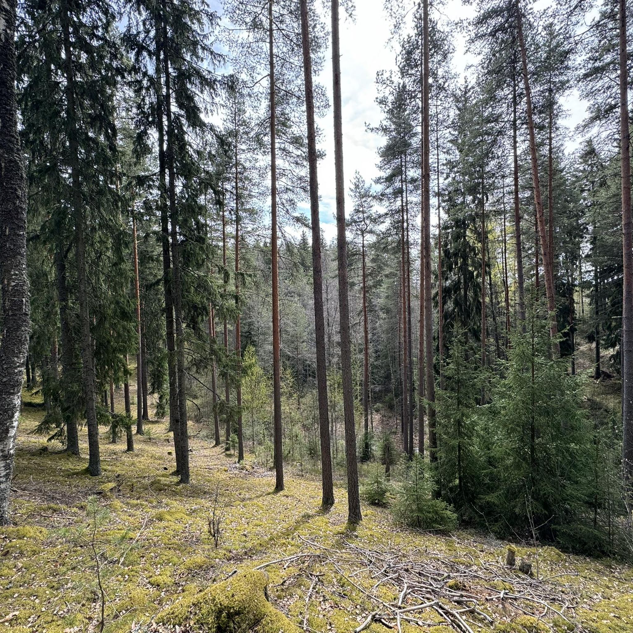
Hiking around Rehtijärvi, a village in Kanta-Häme, Finland, offers varied landscapes for outdoor activities. The area features open cultivated fields, wooded hills like Myllyorko and Yökönmäki, and the significant Kirmunharju Ridge. The Jänhijoki River borders the western side, contributing to a mix of agricultural and natural environments. Forest areas are concentrated on higher elevations, providing diverse terrain for exploration.
Best hiking trails around Rehtijärvi
- The most popular hiking route is Loimijoki loop from Vieremä, an easy 3.8 miles (6.2…
Last updated: June 27, 2026
3.0
(1)
2
hikers
6.16km
01:36
40m
40m
Easy hike. Great for any fitness level. Easily-accessible paths. Suitable for all skill levels.
2
hikers
4.08km
01:03
20m
20m
Easy hike. Great for any fitness level. Easily-accessible paths. Suitable for all skill levels.

Sign up for free
1
hikers
3.49km
00:54
20m
20m
Easy hike. Great for any fitness level. Easily-accessible paths. Suitable for all skill levels.
2
hikers
4.26km
01:06
30m
30m
Easy hike. Great for any fitness level. Easily-accessible paths. Suitable for all skill levels.
2
hikers
4.05km
01:03
30m
30m
Easy hike. Great for any fitness level. Easily-accessible paths. Suitable for all skill levels.
Get access to more routes and recommendations from other explorers.
Sign up for free
Already have an account?
Our route recommendations are based on thousands of hikes, rides, and runs completed by other people on komoot.
Start today with a free account
Your next adventure awaits.
Login or Signup



Tips from the Community

A working hydroelectric power plant, built in 1870
0
0
Frequently Asked Questions
How many hiking trails are available around Rehtijärvi?
There are over 10 hiking trails around Rehtijärvi, offering a variety of experiences. The majority of these, 9 out of 10, are rated as easy, making the area accessible for many hikers.
What kind of terrain can I expect on Rehtijärvi's hiking trails?
Rehtijärvi offers a diverse landscape, from open cultivated fields and meadows to wooded hills like Myllyorko and Yökönmäki. You'll also encounter the significant Kirmunharju Ridge, which is part of a larger esker system, and the Jänhijoki River along its western border. Forest areas are typically found on higher elevations, providing varied environments for exploration.
Are there any easy hiking options suitable for beginners or families?
Yes, Rehtijärvi is well-suited for easy hikes, with 9 out of 10 routes rated as easy. A great option is the Loimijoki loop from Vieremä, an easy 6.2 km path that follows the scenic Loimijoki river. Another family-friendly choice is the Mäkilammi loop from Vieremä, a 4.1 km trail through varied terrain.
What are some notable natural features or landmarks to look out for while hiking?
Hikers can explore the Kirmunharju Ridge, which hosts a nature reserve and was historically significant for an 'old church road.' The wooded hills of Myllyorko and Yökönmäki offer elevated views, while the Jänhijoki River provides waterside scenery, expanding into the shallow Setälänlammi pool.
Are there any circular hiking routes in Rehtijärvi?
Yes, many of the trails in Rehtijärvi are circular. For example, the popular Pellilänsuo Observation Tower loop from Jokioinen is an 8.9 km moderate route. Other circular options include the Talsoilan Puisto loop from Forssa and the Talsoilan Puisto loop from Tölö.
What do other hikers enjoy most about hiking in Rehtijärvi?
The area is highly rated by the komoot community, with an average score of 3.0 stars. Hikers often praise the diverse terrain, which includes a mix of cultivated fields, wooded hills, and river scenery, providing a peaceful outdoor experience.
Is Rehtijärvi suitable for winter hiking?
While the guide focuses on general hiking, Rehtijärvi's varied landscape, including wooded hills and open fields, could offer opportunities for winter activities. However, specific winter trail conditions and maintenance should be checked locally before planning a winter hike.
Are there any specific nature reserves or protected areas in Rehtijärvi?
Yes, the Kirmunharju area on the northern shore of Lake Rehtijärvi includes a nature reserve. Established in 1992 and maintained by the Finnish Forest Research Institute, this approximately 10-hectare protected area offers well-preserved natural environments for exploration.
What is the typical difficulty level of hikes in Rehtijärvi?
The hiking trails in Rehtijärvi are predominantly easy, with 9 out of 10 routes falling into this category. There is also one moderate route, the Pellilänsuo Observation Tower loop from Jokioinen, which is 8.9 km long and takes about 2 hours 16 minutes to complete.
Are there any trails that offer views from an observation tower?
Yes, the Pellilänsuo Observation Tower loop from Jokioinen is a moderate 8.9 km trail that includes an observation tower, providing expansive views over the surrounding landscape of Rehtijärvi.
What are the main geographical features that define the Rehtijärvi landscape for hikers?
The Rehtijärvi landscape is characterized by its agricultural setting with cultivated fields and meadows, contrasted by wooded hills such as Myllyorko and Yökönmäki. The prominent Kirmunharju Ridge and the narrow Jänhijoki River also contribute significantly to the area's diverse natural appeal.
Most popular routes around Rehtijärvi

Get inspired with the komoot mobile app


Explore more
Browse the best Hikes in other regions.
